Camp Close

Settlement in Yorkshire Harrogate

England

Camp Close

Metal Edifice from Halifax Enormous cast iron saw bench, complete with rollers and drum for a belt drive.
Metal Edifice from Halifax Credit: Matthew Hatton

Camp Close is a picturesque village located in the heart of Yorkshire, England. Nestled amidst rolling hills and lush green countryside, this tranquil hamlet offers a serene and idyllic retreat for visitors seeking a peaceful getaway.

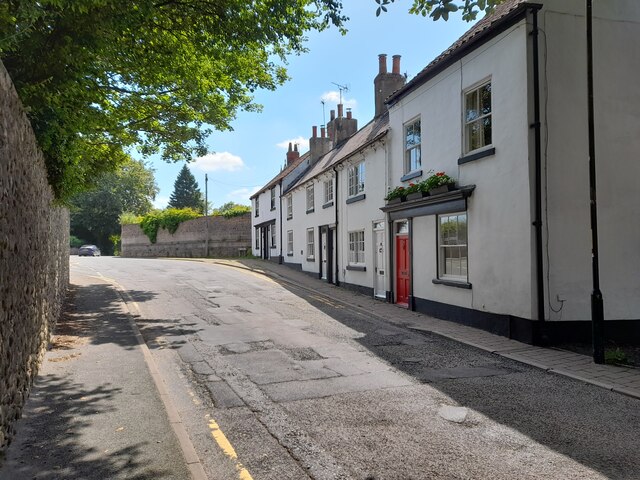
The village is characterized by its charming stone-built cottages, which exude a traditional English countryside ambiance. The architecture is a blend of rustic charm and historic significance, with some buildings dating back several centuries. The local church, St. Mary's, stands as a prominent landmark, boasting intricate stained glass windows and a peaceful churchyard.

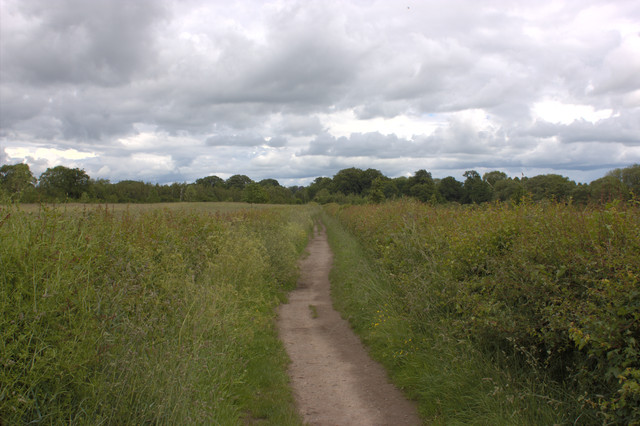
Nature enthusiasts will be enthralled by the surrounding landscape, which is a haven for hikers, cyclists, and nature lovers alike. The nearby Camp Close Forest offers a wealth of walking trails, allowing visitors to immerse themselves in the beauty of the ancient woodlands. The forest is also home to a diverse range of wildlife, including deer, foxes, and an array of bird species.

For history buffs, Camp Close provides a glimpse into Yorkshire's past. The village is located near several historical sites, including the ruins of an ancient castle and a Roman settlement. These remnants offer a fascinating insight into the area's rich heritage.

Despite its rural setting, Camp Close is conveniently accessible, with good transport links to nearby towns and cities. Visitors can enjoy the best of both worlds, experiencing the tranquility of the countryside while still having access to modern amenities.

In summary, Camp Close is a captivating village that encapsulates the beauty and charm of Yorkshire. Its stunning natural surroundings and rich historical heritage make it an ideal destination for those seeking a peaceful and authentic English countryside experience.

If you have any feedback on the listing, please let us know in the comments section below.
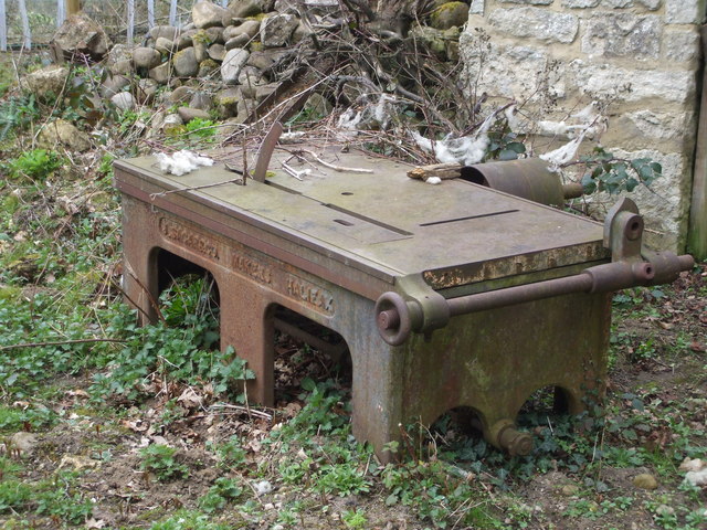
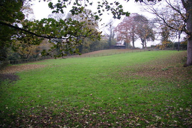
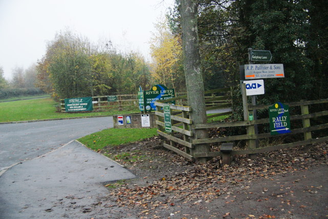
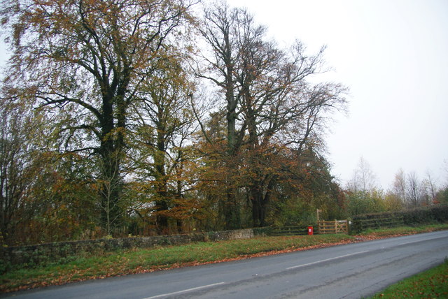
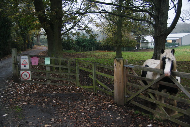
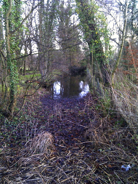
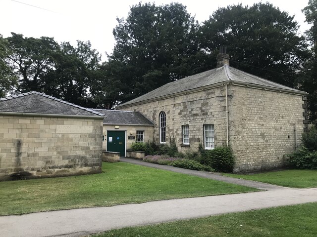
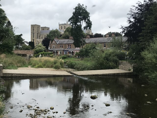
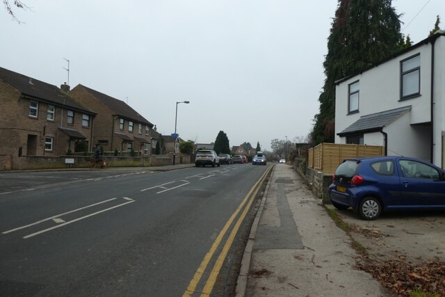
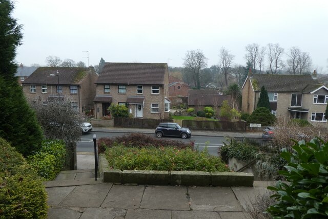
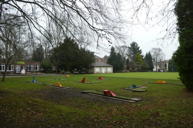
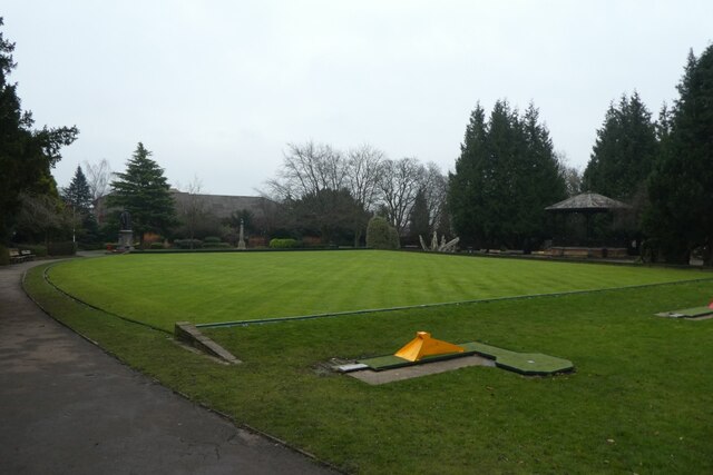
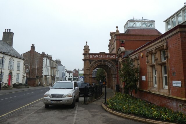
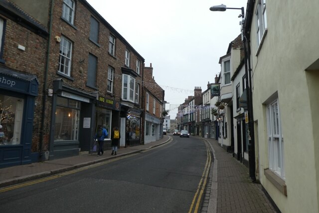
Camp Close Images

Images are sourced within 2km of 54.1271/-1.5191029 or Grid Reference SE3170. Thanks to Geograph Open Source API. All images are credited.

Metal Edifice from Halifax Enormous cast iron saw bench, complete with rollers and drum for a belt drive.
Metal Edifice from Halifax
Enormous cast iron saw bench, complete with rollers and drum for a belt drive.
Horse field near Bishopton There were no horses in it today. The field is by the track to the site of Bishopton Mill.
Horse field near Bishopton
There were no horses in it today. The field is by the track to the site of Bishopton Mill.
Numerous signs at the entrance to River Laver Holiday Park
A footpath to Studley Roger leaving the B6265
Pony by the entrance to Parkfield Farm
Bishopton Mill Race Part of the old mill race as seen from the B6265 Studley Road.
Bishopton Mill Race
Part of the old mill race as seen from the B6265 Studley Road.
Footpath to Ripon
Footpath to Ripon
Ford next to Rose Bridge on the bridleway east of Studley Roger
St Marygate, Ripon
St Marygate, Ripon
Ripon Liberty Courthouse
Reflections in the River Skell
Skell Bank Looking along the B6265 in Ripon.
Skell Bank
Looking along the B6265 in Ripon.
Steps in Spa Gardens Looking down the steps from the gardens to Skell Bank.
Steps in Spa Gardens
Looking down the steps from the gardens to Skell Bank.
Crazy golf in Spa Gardens Looking across part of Spa Gardens in Ripon.
Crazy golf in Spa Gardens
Looking across part of Spa Gardens in Ripon.
Bowling Green in Spa Gardens Looking across the bowling green with a crazy golf course beside.
Bowling Green in Spa Gardens
Looking across the bowling green with a crazy golf course beside.
Spa Baths The former swimming pool in Ripon.
Spa Baths
The former swimming pool in Ripon.
Westgate Looking along Westgate towards the centre of Ripon.
Westgate
Looking along Westgate towards the centre of Ripon.
Ripon market place Looking across the market square in the centre of Ripon.
Ripon market place
Looking across the market square in the centre of Ripon.
Show me another place!

Camp Close is located at Grid Ref: SE3170 (Lat: 54.1271, Lng: -1.5191029)

Division: West Riding

Administrative County: North Yorkshire

District: Harrogate

Police Authority: North Yorkshire

What 3 Words

///example.flippers.rich. Near Ripon, North Yorkshire

Related Wikis

Ripon Canal

The Ripon Canal is located in North Yorkshire, England. It was built by the canal engineer William Jessop to link the city of Ripon with the navigable...

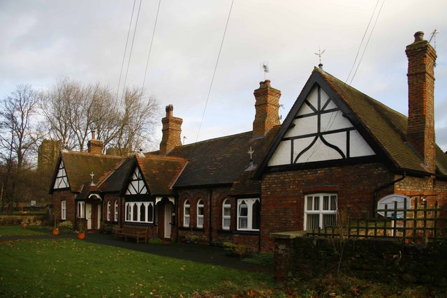
St John's Almshouses, Ripon

St John’s Almshouses (formally the Hospital of St John the Baptist) are Grade II listed Almshouses in Ripon, North Yorkshire, England. == History == The...
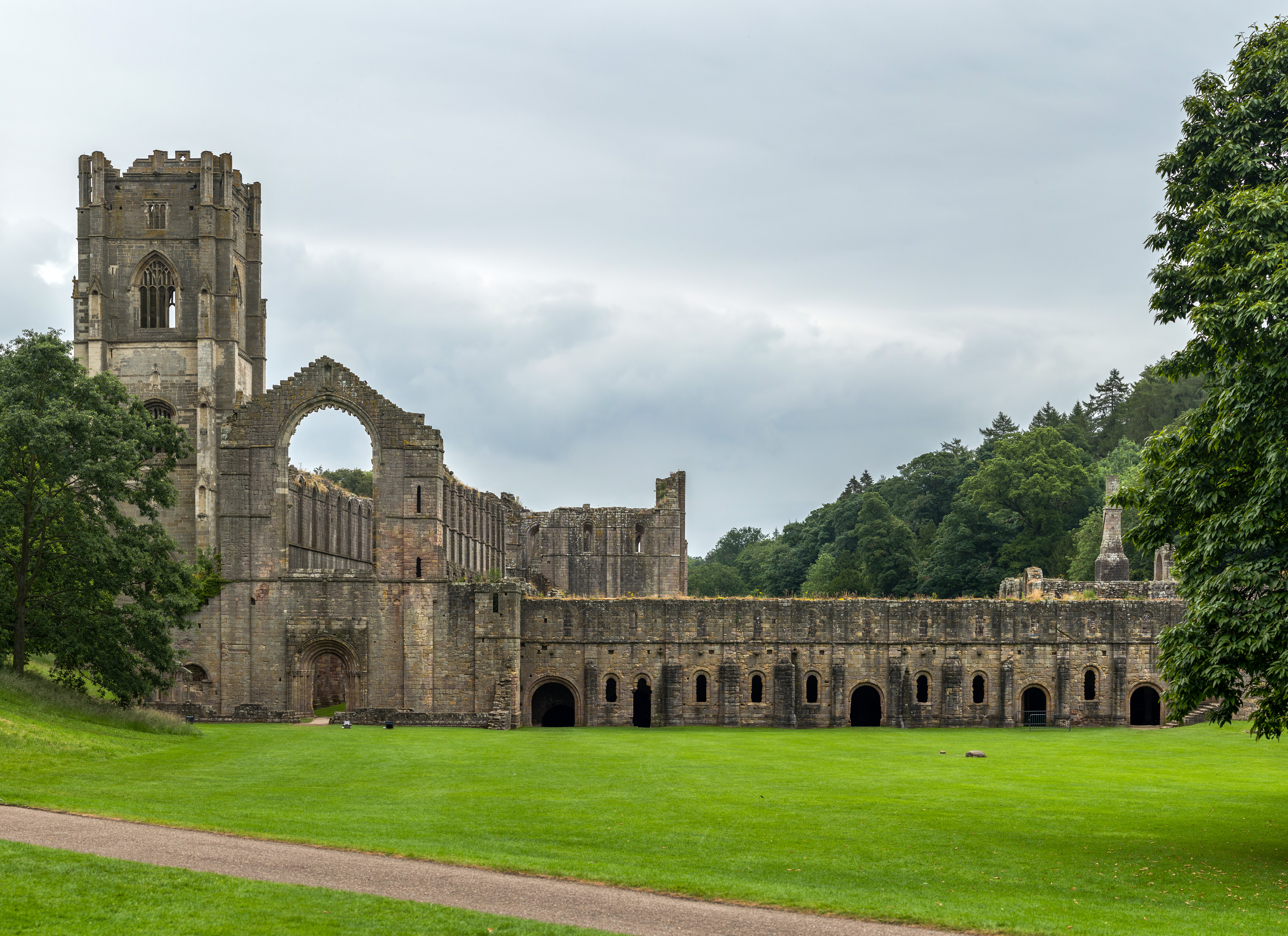
Abbeys Amble

The Abbeys Amble is a long-distance path in North Yorkshire, England. It is a circular walk of 104 miles (167 km), based on Ripon. It links three abbeys...
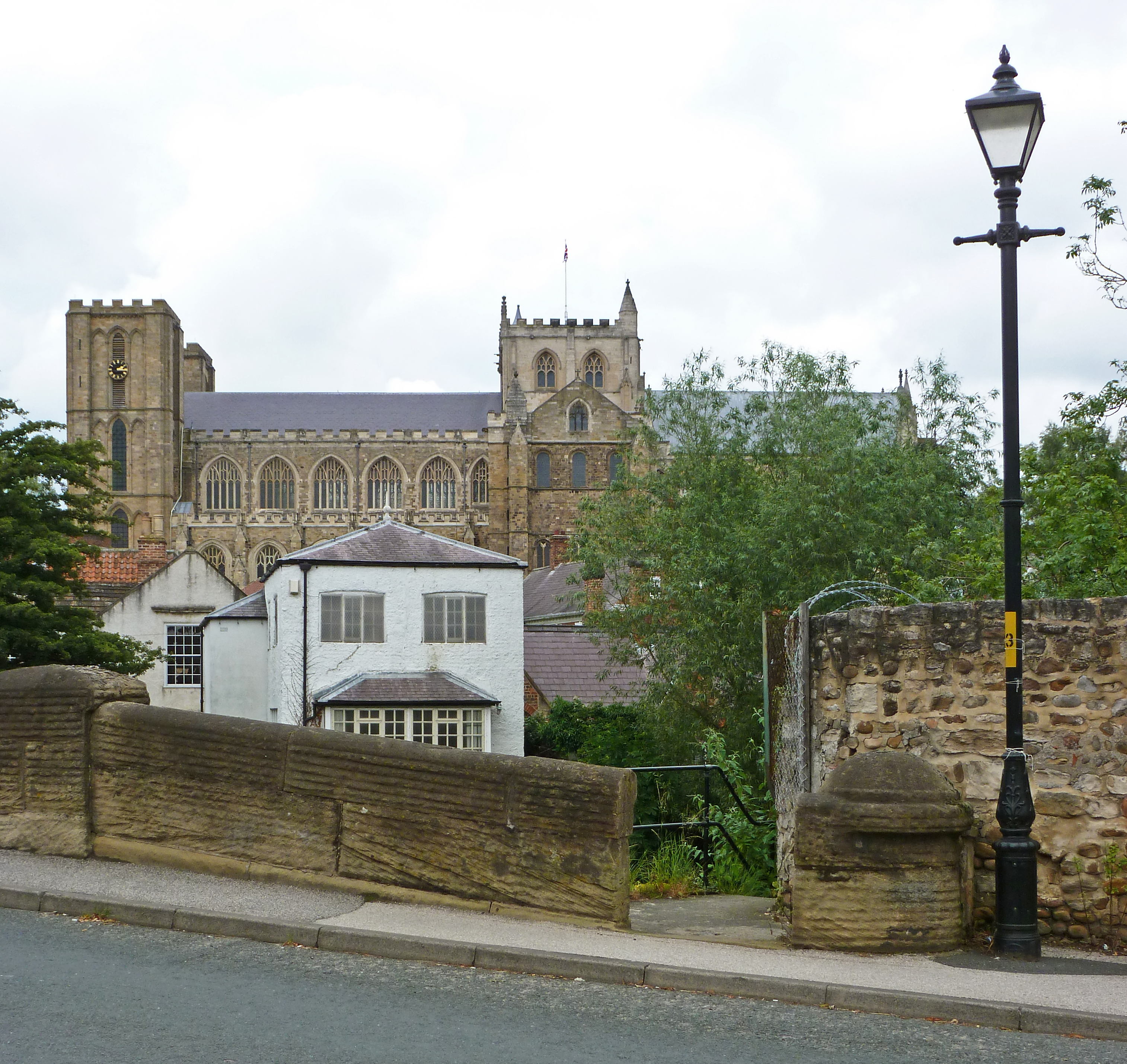
Ripon Cathedral

The Cathedral Church of St Peter and St Wilfrid, commonly known as Ripon Cathedral, and until 1836 known as Ripon Minster, is a cathedral in Ripon, North...

Diocese of Ripon

The Diocese of Ripon (Diocese of Ripon and Leeds from 1999 until 2014) was a former Church of England diocese, part of the Province of York. Immediately...

Ripon Town Hall

Ripon Town Hall is a municipal building in the Market Place, Ripon, North Yorkshire, England. The structure, which was the headquarters of Ripon Borough...

The Wakeman's House

The Wakeman's House is a historic building in Ripon, a city in Yorkshire, in England. The building was constructed as a house in the 16th or early 17th...
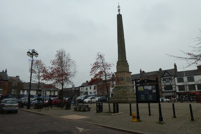
Ripon Obelisk

The Ripon Obelisk is an obelisk monument in the centre of the Yorkshire settlement of Ripon in Northern England. It was designed by Nicholas Hawksmoor...

Nearby Amenities

Located within 500m of 54.1271,-1.5191029
Crossing
Crossing: unmarked
Crossing Island: yes
Lat/Long: 54.1253064/-1.5165492
Mini Roundabout
Lat/Long: 54.1257636/-1.5203076
Turning Circle
Lat/Long: 54.1302034/-1.5214802
Post Office
Bondgate Post Office
Addr City: Ripon
Addr Postcode: HG4 1QE
Branch: Bondgate
Brand: Post Office
Brand Wikidata: Q1783168
Check Date: 2020-02-20
Contact Website: https://www.postoffice.co.uk/branch-finder/4073231/bondgate
Ref Pol Id: 14639
Lat/Long: 54.1312994/-1.5203607
Leisure: playground
Source: survey
Lat/Long: 54.1260032/-1.5245622
Post Box
Brand: Royal Mail
Brand Wikidata: Q638098
Collection Times: Mo-Fr 17:30; Sa 13:15
Operator: Royal Mail
Operator Wikidata: Q638098
Ref: HG4 16
Source: survey
Lat/Long: 54.1299708/-1.5221066
Power: pole
Lat/Long: 54.1232179/-1.5164468
Post Box
Brand: Royal Mail
Brand Wikidata: Q638098
Operator: Royal Mail
Operator Wikidata: Q638098
Post Box Type: wall
Ref: HG4 33
Royal Cypher: GVIR
Royal Cypher Wikidata: Q33102169
Lat/Long: 54.1271825/-1.5193055
Generator Method: photovoltaic
Generator Output Electricity: yes
Generator Source: solar
Generator Type: solar_photovoltaic_panel
Power: generator
Lat/Long: 54.1269358/-1.5266641
Power: pole
Lat/Long: 54.1236314/-1.5169813
Power: pole
Lat/Long: 54.1245093/-1.5172471
Power: pole
Lat/Long: 54.1252204/-1.5172695
Line Management: termination
Location Transition: yes
Power: pole
Lat/Long: 54.1257079/-1.5172885
Power: pole
Lat/Long: 54.1255344/-1.5125889
Power: pole
Lat/Long: 54.1261105/-1.513248
Power: pole
Lat/Long: 54.1268914/-1.5141365
Power: pole
Lat/Long: 54.1276047/-1.5154162
Power: pole
Lat/Long: 54.128333/-1.5167024
Line Management: termination
Location Transition: yes
Power: pole
Lat/Long: 54.1287672/-1.5171434
Post Box
Brand: Royal Mail
Brand Wikidata: Q638098
Collection Times: Mo-Fr 16:00; Sa 10:30
Operator: Royal Mail
Operator Wikidata: Q638098
Ref: HG4 17
Lat/Long: 54.1237061/-1.5147466
Post Box
Brand: Royal Mail
Brand Wikidata: Q638098
Operator: Royal Mail
Operator Wikidata: Q638098
Ref: HG4 29
Lat/Long: 54.1313564/-1.5205111
Barrier: bollard
Lat/Long: 54.1264337/-1.5229371
Ripon Farm Services
Addr City: Ripon
Addr Postcode: HG4 1TT
Shop: trade
Trade: agricultural_supplies
Website: https://www.riponfarmservices.com/branch/ripon.html
Lat/Long: 54.129961/-1.5170896
Crossing
Crossing: unmarked
Crossing Island: yes
Lat/Long: 54.1239144/-1.5187298
Crossing
Crossing: unmarked
Lat/Long: 54.1294779/-1.5126878
Crossing
Crossing: unmarked
Lat/Long: 54.1294714/-1.5126902
Give Way
Direction: forward
Lat/Long: 54.1236939/-1.518823
Crossing
Crossing Markings: no
Lat/Long: 54.12387/-1.5186562
The data included in this document is from www.openstreetmap.org. The data is made available under ODbL.

Have you been to Camp Close?

Leave your review of Camp Close below (or comments, questions and feedback).