Bush
Settlement in Midlothian
Scotland
Bush

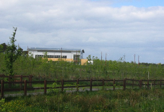
Bush is a small suburb located in Midlothian, Scotland. Situated approximately 10 miles southwest of Edinburgh, it is part of the Midlothian council area. The area is known for its picturesque countryside and tranquil atmosphere, making it an ideal location for those seeking a peaceful escape from the hustle and bustle of city life.
Bush is primarily a residential area, consisting of a mix of traditional cottages and modern houses. The community is tight-knit and friendly, with a strong sense of community spirit. Residents enjoy a range of amenities, including local shops, cafes, and pubs, providing essential services and a place to socialize.
Nature enthusiasts are drawn to Bush for its beautiful landscapes and outdoor recreational opportunities. The surrounding countryside offers an abundance of walking trails and scenic spots, making it a paradise for hikers and nature lovers. The nearby Pentland Hills Regional Park is a popular destination, offering stunning views, wildlife, and various outdoor activities such as cycling and horseback riding.
Despite its peaceful setting, Bush is conveniently located near major transportation links. The nearby A702 road provides easy access to Edinburgh, making it an attractive location for commuters. Additionally, there are regular bus services connecting the area to neighboring towns and cities.
Overall, Bush, Midlothian offers a tranquil and idyllic setting with a strong sense of community, making it an appealing place to live for those seeking a balance between rural charm and accessibility to urban amenities.
If you have any feedback on the listing, please let us know in the comments section below.
Bush Images
Images are sourced within 2km of 55.859489/-3.1976439 or Grid Reference NT2563. Thanks to Geograph Open Source API. All images are credited.


Bush is located at Grid Ref: NT2563 (Lat: 55.859489, Lng: -3.1976439)
Unitary Authority: Midlothian
Police Authority: The Lothians and Scottish Borders
What 3 Words
///amber.broadcast.interviewer. Near Bilston, Midlothian
Nearby Locations
Related Wikis
BioCampus
The Biocampus is an enterprise area in Midlothian, Scotland. It is part of the larger Edinburgh Science Triangle, which includes the Edinburgh BioQuarter...
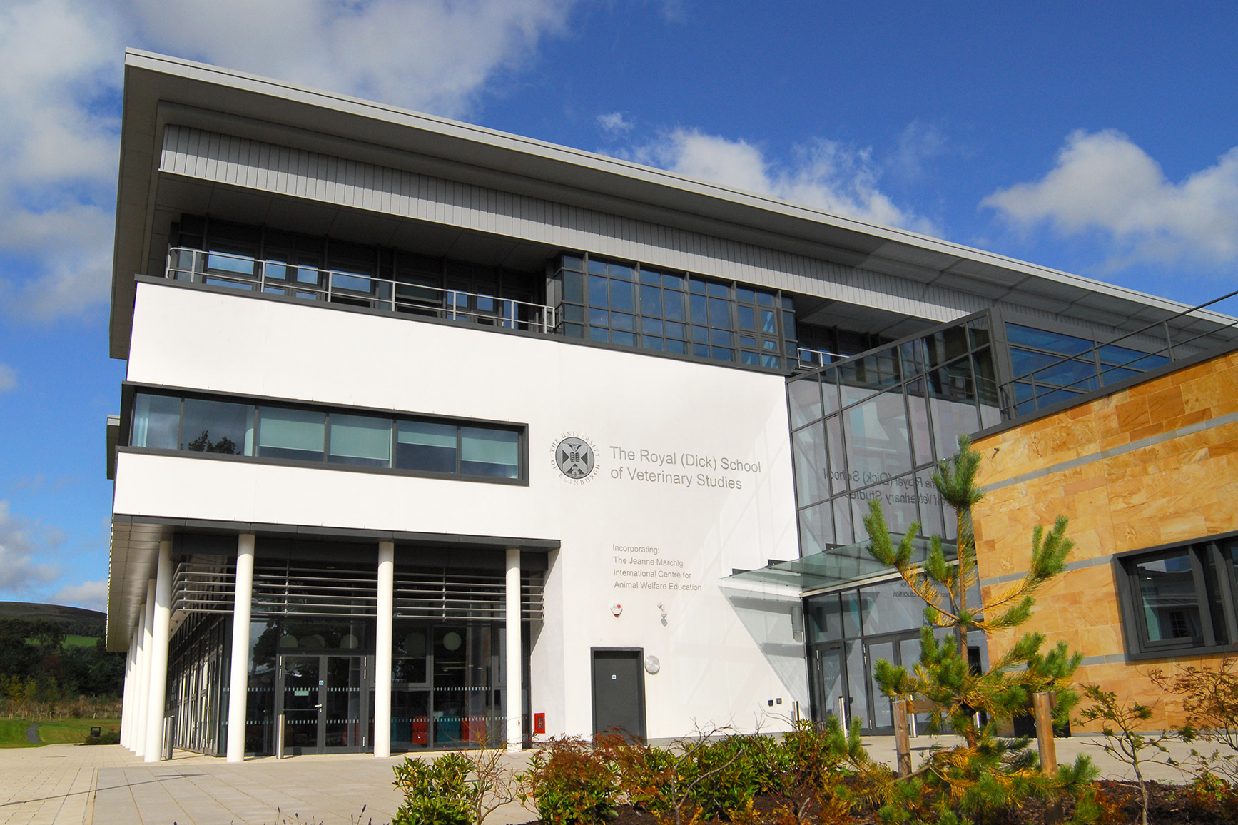
Royal (Dick) School of Veterinary Studies
The Royal (Dick) School of Veterinary Studies, commonly referred to as the Dick Vet, is the University of Edinburgh's vet school. It is part of the College...
Roslin Institute
The Roslin Institute is an animal sciences research institute at Easter Bush, Midlothian, Scotland, part of the University of Edinburgh, and is funded...

Glencorse
Glencorse is a parish of Midlothian, Scotland, lying 7 miles (11 kilometres) south of Edinburgh. It is bounded on the north-west by the former parish...
Nearby Amenities
Located within 500m of 55.859489,-3.1976439Have you been to Bush?
Leave your review of Bush below (or comments, questions and feedback).