Burragarth
Settlement in Shetland
Scotland
Burragarth

Burragarth is a small, picturesque village located on the Shetland Islands, which are situated off the northeastern coast of Scotland. With a population of around 200 residents, it is nestled in a scenic coastal area characterized by rugged cliffs, sandy beaches, and rolling hills.
The village is known for its stunning natural beauty, attracting visitors who seek tranquility and breathtaking landscapes. The surrounding area is home to a rich array of wildlife, including seals, otters, and various seabirds, making it a haven for nature enthusiasts and birdwatchers.
Burragarth boasts a close-knit community with a strong sense of tradition and heritage. The locals are friendly and welcoming, often engaging in community events and activities. The village is also home to a few small businesses, including a local pub, a cozy café, and a handful of shops, providing essential services for both residents and visitors.
Historically, Burragarth has strong ties to fishing and agriculture, reflecting the island's traditional industries. While these activities have declined in recent years, the village still retains its charm and character, with many buildings reflecting its rich history.
For those seeking outdoor adventures, Burragarth offers excellent opportunities for hiking, cycling, and fishing. The nearby coastline provides stunning views and is a popular spot for sea kayaking and boat trips to nearby islands.
Overall, Burragarth is a hidden gem on the Shetland Islands, offering visitors a chance to experience the natural beauty and warm hospitality of this unique Scottish community.
If you have any feedback on the listing, please let us know in the comments section below.
Burragarth Images
Images are sourced within 2km of 60.713715/-0.9408742 or Grid Reference HP5703. Thanks to Geograph Open Source API. All images are credited.


Burragarth is located at Grid Ref: HP5703 (Lat: 60.713715, Lng: -0.9408742)
Unitary Authority: Shetland Islands
Police Authority: Highlands and Islands
What 3 Words
///deserved.trooper.distorts. Near Uyeasound, Shetland Islands
Nearby Locations
Related Wikis

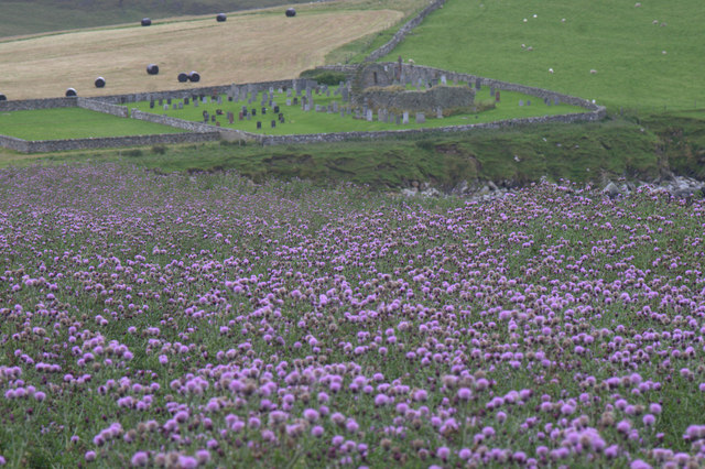
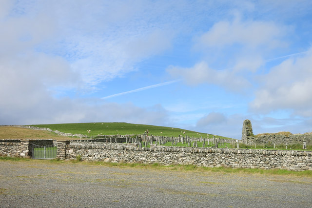
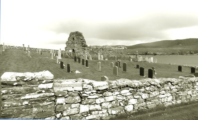
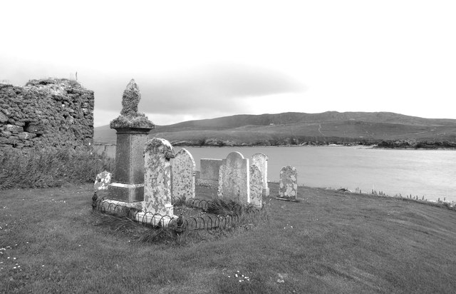
St Olaf's Church, Unst
St Olaf's Church, Unst is a ruined medieval church located on the island of Unst, in Shetland, Scotland, UK. The church was built in the Celtic style,...

Brough Holm
Brough Holm is a small island off Unst, in the North Isles of Shetland. It is off Westing, which as the name implies is on the west coast of Unst. The...

Society of Our Lady of the Isles
The Society of Our Lady of the Isles (SOLI) is a small Anglican religious order for women, founded in the late 20th century. It is located in Shetland...

Uyeasound
Uyeasound is a village on the Isle of Unst, the northernmost island of the Shetland Islands, Scotland. It takes its name from the neighbouring strait of...
Nearby Amenities
Located within 500m of 60.713715,-0.9408742Have you been to Burragarth?
Leave your review of Burragarth below (or comments, questions and feedback).