Buckland Hollow
Settlement in Derbyshire Amber Valley
England
Buckland Hollow
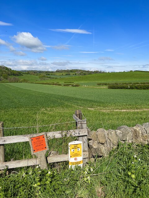
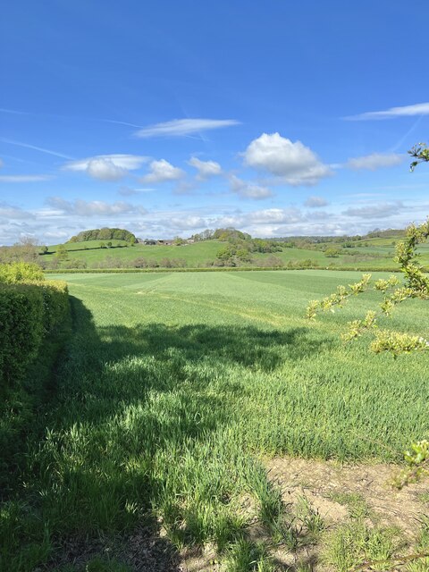
Buckland Hollow is a small village located in the county of Derbyshire, England. Situated in the Peak District National Park, it is surrounded by picturesque countryside and offers stunning views of rolling hills and lush green landscapes. The village is located approximately 10 miles northeast of the town of Buxton.
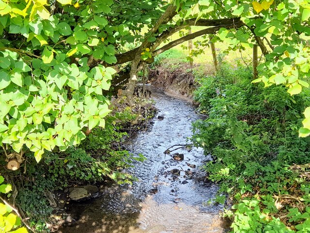
Buckland Hollow is known for its tranquil and idyllic setting, attracting nature enthusiasts and outdoor adventurers alike. The area offers numerous walking trails and hiking routes, allowing visitors to explore the natural beauty of the Peak District. One notable trail is the Limestone Way, which passes through the village and provides access to nearby attractions such as the scenic Linacre Reservoirs.
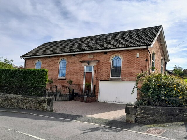
The village itself is characterized by its quaint charm and traditional stone-built houses. It boasts a close-knit community, with a small population of friendly and welcoming residents. Although Buckland Hollow is primarily residential, there are a few amenities for locals and visitors to enjoy, including a local pub that serves delicious traditional English cuisine.
For those seeking a peaceful retreat or a chance to reconnect with nature, Buckland Hollow offers a serene and rejuvenating environment. Its proximity to the Peak District National Park provides ample opportunities for outdoor activities, making it a popular destination for nature lovers and those looking to escape the hustle and bustle of city life.
If you have any feedback on the listing, please let us know in the comments section below.
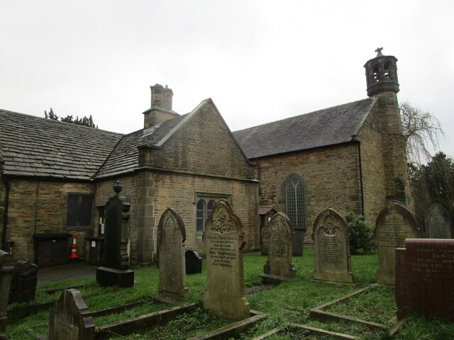
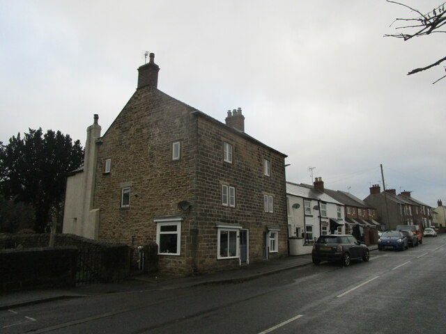
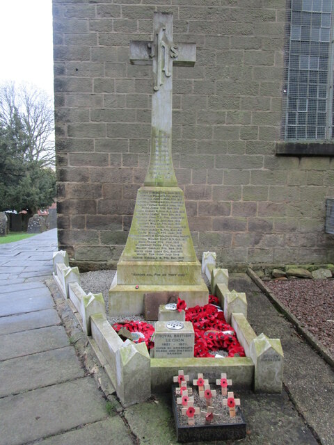
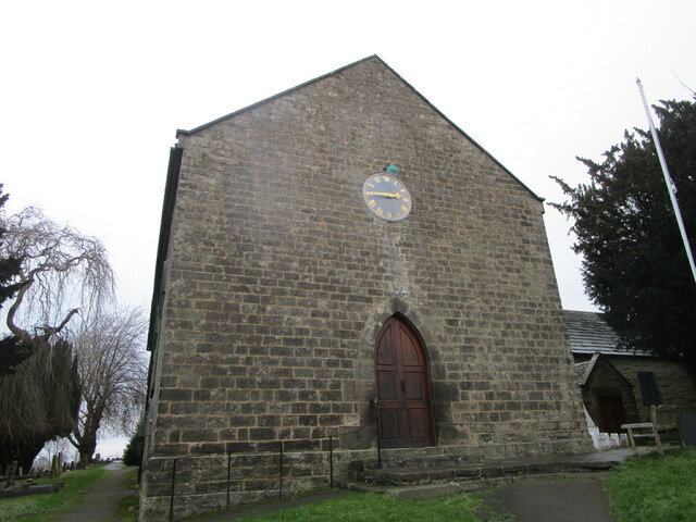
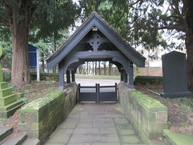
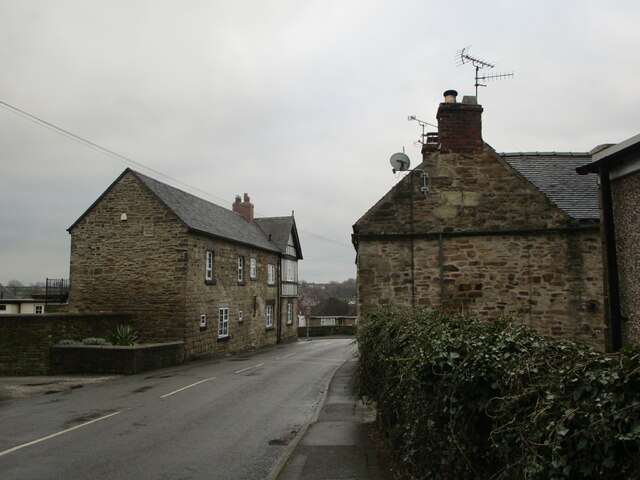
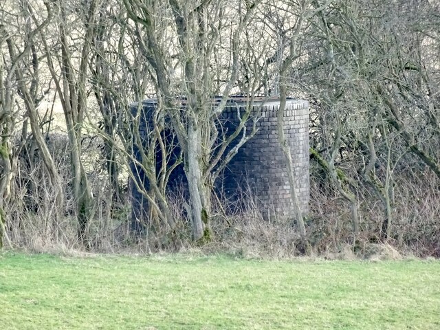
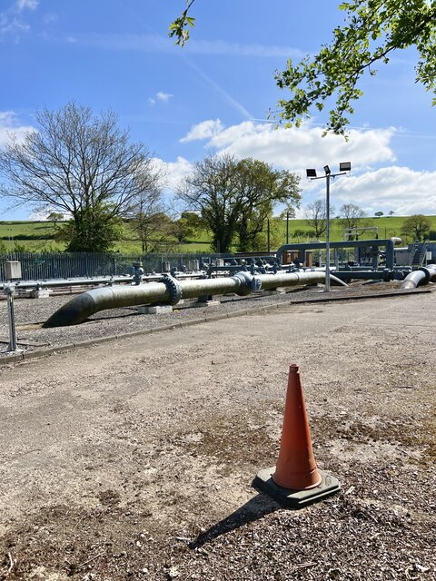
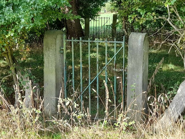
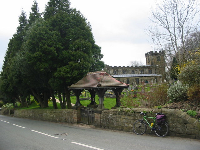
Buckland Hollow Images
Images are sourced within 2km of 53.062494/-1.4432341 or Grid Reference SK3751. Thanks to Geograph Open Source API. All images are credited.


Buckland Hollow is located at Grid Ref: SK3751 (Lat: 53.062494, Lng: -1.4432341)
Administrative County: Derbyshire
District: Amber Valley
Police Authority: Derbyshire
What 3 Words
///slam.inclined.finer. Near Heage, Derbyshire
Nearby Locations
Related Wikis

Lower Hartshay
Lower Hartshay is a small village in the Amber Valley District, in the English county of Derbyshire. It is on Hartshay Brook and near the A38 road. The...

Heage Windmill
Heage Windmill, in Heage, Derbyshire, is a restored windmill, built in the 1790s. After standing unused since 1919, it was restored to working order in...

St Luke's Church, Heage
St Luke's Church, Heage is a Grade II* listed parish church in the Church of England in Heage, Derbyshire. == History == There was a church in existence...

Heage
Heage is a village and former civil parish, now in the parish of Ripley, in the Amber Valley district, in the county of Derbyshire, England. It is situated...

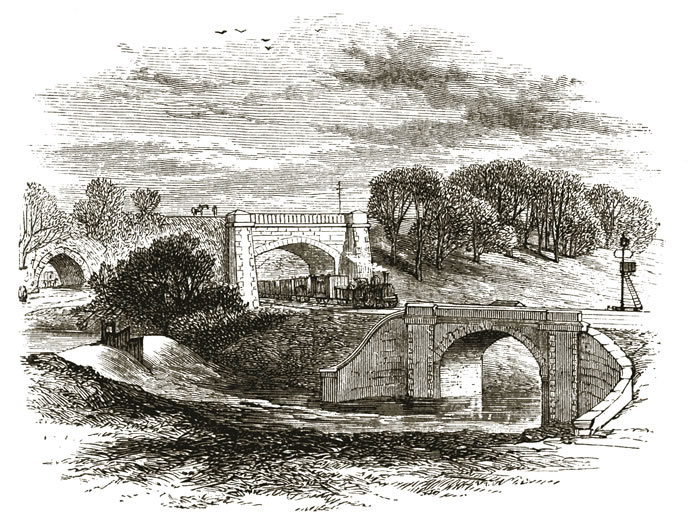
Bull bridge accident
The Bull Bridge accident was a failure of a cast-iron bridge at Bullbridge, near Ambergate in Derbyshire on 26 September 1860. As a goods train was passing...
Pentrich
Pentrich is a small village and civil parish between Belper and Alfreton in Amber Valley, Derbyshire, England. The population of the civil parish taken...

Bullbridge
Bullbridge is a small village in Derbyshire. The Bull bridge accident, in which a railway bridge failed as a goods train was just passing over it, happened...
Bullbridge Aqueduct
The Bull Bridge Aqueduct was situated on the Cromford Canal, built in 1794, at Bullbridge east of Ambergate along the Amber Valley, where it turned sharply...
Nearby Amenities
Located within 500m of 53.062494,-1.4432341Have you been to Buckland Hollow?
Leave your review of Buckland Hollow below (or comments, questions and feedback).