Buarth Capel

Settlement in Glamorgan

Wales

Buarth Capel

Timber pile left to rot
Timber pile left to rot Credit: Alan Hughes

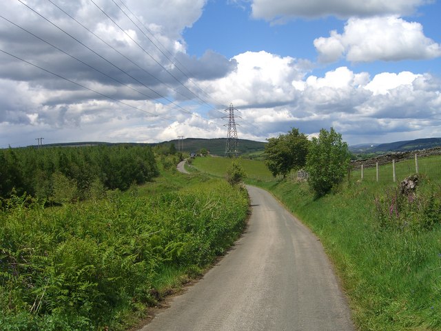
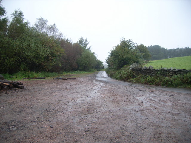
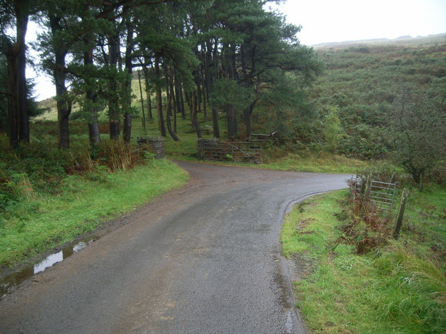
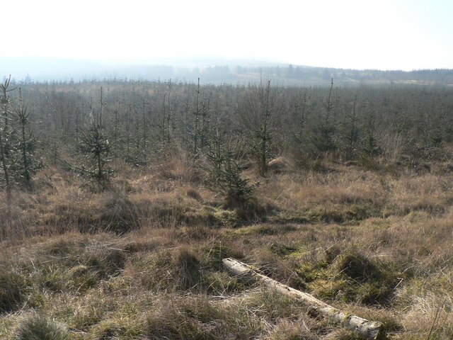
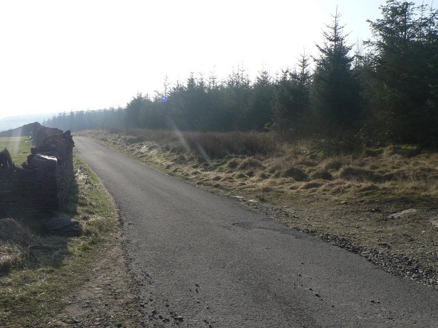
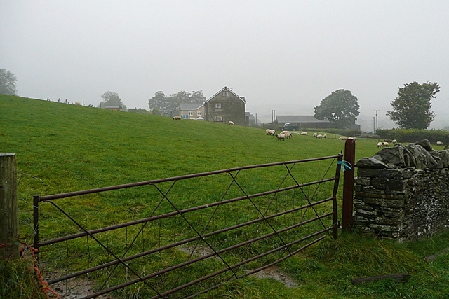
Buarth Capel is a rural village located in the county of Glamorgan, Wales. Nestled in the beautiful rolling hills and valleys of the Welsh countryside, it is surrounded by picturesque landscapes and stunning natural beauty. The village is situated approximately 10 miles north-west of the county town of Cardiff.

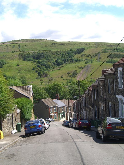
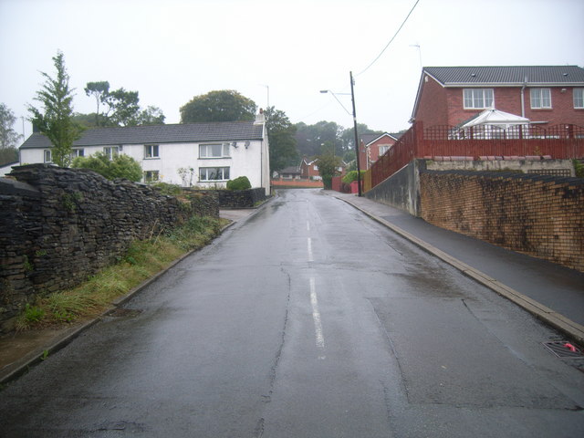
Buarth Capel is known for its tranquil and serene atmosphere, making it an ideal place for those seeking a peaceful escape from the hustle and bustle of city life. The village is characterized by its charming stone cottages, well-maintained gardens, and narrow winding lanes that add to its quaint and traditional appeal.

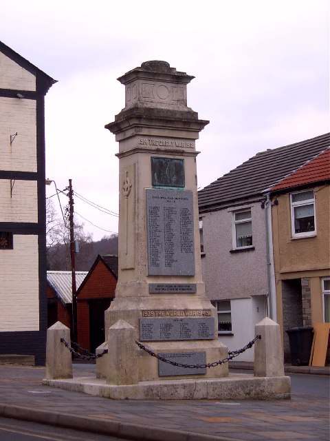
The heart of the village is the Buarth Capel Chapel, a historic place of worship that dates back to the 18th century. The chapel is a significant landmark and serves as a focal point for the community, hosting religious services, social gatherings, and various events throughout the year.

The village is home to a close-knit community that takes great pride in its local heritage and traditions. Residents often participate in community activities and events, fostering a strong sense of camaraderie and belonging.

Despite its rural setting, Buarth Capel benefits from its proximity to larger towns and cities. This allows residents to enjoy the peace and tranquility of village life while still having access to modern amenities and services.

Overall, Buarth Capel is a charming and idyllic village that offers a serene and picturesque setting for those seeking a slower pace of life amidst the beauty of the Welsh countryside.

If you have any feedback on the listing, please let us know in the comments section below.
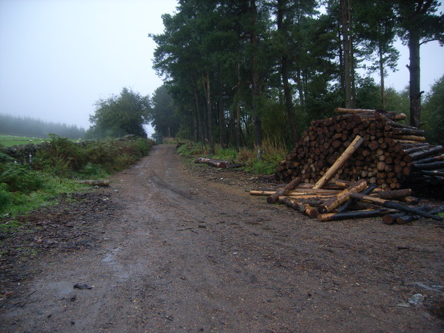
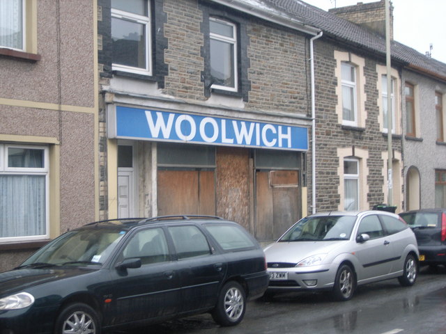
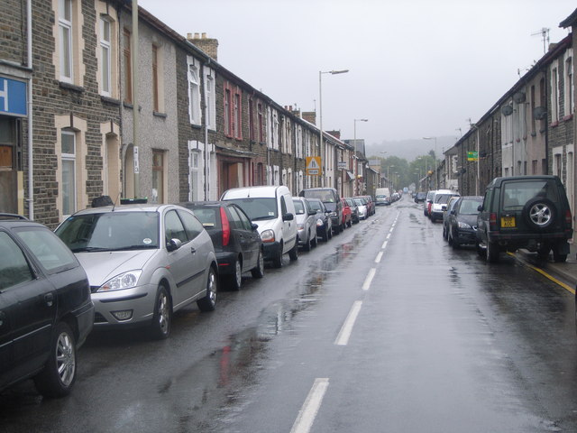
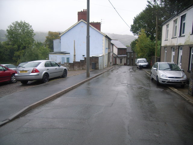
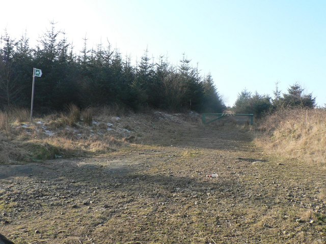
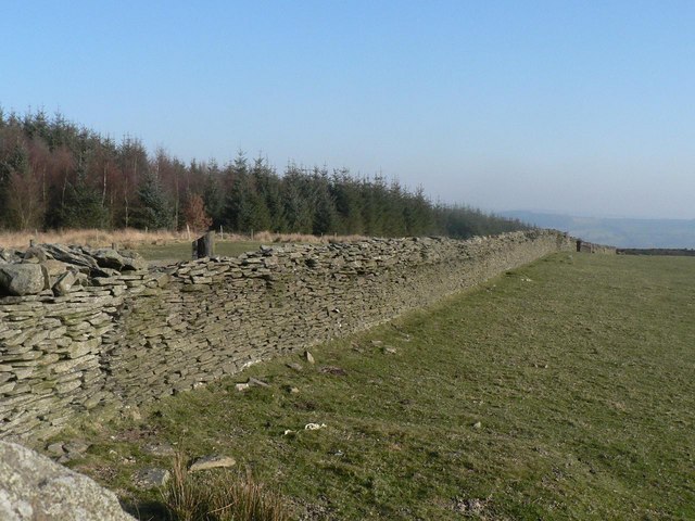
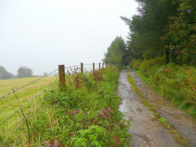
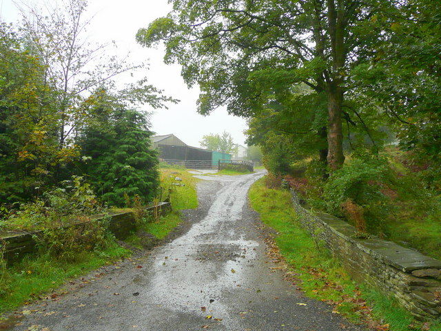
Buarth Capel Images

Images are sourced within 2km of 51.644325/-3.3719537 or Grid Reference ST0594. Thanks to Geograph Open Source API. All images are credited.

Timber pile left to rot
Ynysybwl War Memorial Ynysybwl is a small ex mining village on the river Clydach a tributary of the Taff, its mine Lady Windsor closed in 1988
Ynysybwl War Memorial
Ynysybwl is a small ex mining village on the river Clydach a tributary of the Taff, its mine Lady Windsor closed in 1988
Archer Street, Ynysybwl The houses at the bottom are on Peygraig Terrace. The hill behind is Pen y Foel, with evidence of the coal tips from the local pit.
Archer Street, Ynysybwl
The houses at the bottom are on Peygraig Terrace. The hill behind is Pen y Foel, with evidence of the coal tips from the local pit.
Mountain Road
Mountain Road
Junction of Forestry Road & Lane
Forestry Road & logs
Are you with us? An old, closed Woolwich branch, Ynysybwl
Are you with us?
An old, closed Woolwich branch, Ynysybwl
Ynysybwl High Street
Pwll-helyg Street scene
Looking towards Mynachdy
Llanwonno: young firs This area seems to be in the process of reforestation, as these are certainly not the trees referred to on the map's suggestion of a forest. The long straight gap in the wood, shown on the map, is no longer evident.
Llanwonno: young firs
This area seems to be in the process of reforestation, as these are certainly not the trees referred to on the map's suggestion of a forest. The long straight gap in the wood, shown on the map, is no longer evident.
Llanwonno: road alongside forest This is about a mile south of Llanwonno village centre and shows the Pontypridd road alongside a small forest of firs.
Llanwonno: road alongside forest
This is about a mile south of Llanwonno village centre and shows the Pontypridd road alongside a small forest of firs.
Llanwonno: bridleway to Porth This bridleway goes down the side of the valley and alongside this little forest of young firs, reaching Porth about a mile and a half south.
Llanwonno: bridleway to Porth
This bridleway goes down the side of the valley and alongside this little forest of young firs, reaching Porth about a mile and a half south.
Llanwonno: well maintained wall A good example of a dry stone wall a mile or so south of Llanwonno village.
Llanwonno: well maintained wall
A good example of a dry stone wall a mile or so south of Llanwonno village.
Track to Glog This is within a farming area between the Rhondda and Cynon valleys.
Track to Glog
This is within a farming area between the Rhondda and Cynon valleys.
Byway from Mynachdy Road This track leads from Cwm Clydach, a side-valley of the Cynon, over the watershed to the Rhondda.
Byway from Mynachdy Road
This track leads from Cwm Clydach, a side-valley of the Cynon, over the watershed to the Rhondda.
Fanhaulog This upland between the Rhondda Fach and the Clydach valleys is not as high as some, so there is extensive sheep pasture adjacent to farms.
Fanhaulog
This upland between the Rhondda Fach and the Clydach valleys is not as high as some, so there is extensive sheep pasture adjacent to farms.
Show me another place!

Buarth Capel is located at Grid Ref: ST0594 (Lat: 51.644325, Lng: -3.3719537)

Unitary Authority: Rhondda Cynon Taf

Police Authority: South Wales

What 3 Words

///snuck.bleach.nuzzling. Near Ynysybwl, Rhondda Cynon Taf

Related Wikis

Bethel Chapel, Ynysybwl

Bethel, Ynysybwl was a Calvinistic Methodist chapel in Rock Terrace, Ynysybwl, Glamorgan, Wales. == Early history == The church at Bethel dated from the...

Ynysybwl

Ynysybwl (Welsh: Ynys-y-bŵl [ənɪsəˈbʊl]) is a village in Cwm Clydach in Wales. It is situated in the county borough of Rhondda Cynon Taf, roughly 15 miles...

Tabernacle Chapel, Ynysybwl

Tabernacle, Ynysybwl is a former Independent chapel in Other Street, Ynysybwl, Rhondda Cynon Taf, Wales. == Early history == Like several other chapels...

Lady Windsor Colliery

Lady Windsor Colliery was a coal mine located in the village of Ynysybwl in South Wales. Opened in 1884, it closed in 1988, 104 years later. == Development... ==

Nearby Amenities

Located within 500m of 51.644325,-3.3719537
Turning Circle
Lat/Long: 51.6422772/-3.3663486
Direction: 145
Generator Method: photovoltaic
Generator Output Electricity: yes
Generator Solar Modules: 14
Generator Source: solar
Generator Type: solar_photovoltaic_panel
Location: roof
Power: generator
Lat/Long: 51.6464169/-3.3673595
Direction: ESE
Generator Method: photovoltaic
Generator Output Electricity: yes
Generator Solar Modules: 4
Generator Source: solar
Generator Type: solar_photovoltaic_panel
Location: roof
Power: generator
Lat/Long: 51.6431619/-3.3678296
Direction: SE
Generator Method: photovoltaic
Generator Output Electricity: yes
Generator Solar Modules: 10
Generator Source: solar
Generator Type: solar_photovoltaic_panel
Location: roof
Power: generator
Lat/Long: 51.6462011/-3.3704934
Direction: SSW
Generator Method: photovoltaic
Generator Output Electricity: yes
Generator Solar Modules: 4
Generator Source: solar
Generator Type: solar_photovoltaic_panel
Location: roof
Power: generator
Lat/Long: 51.6431736/-3.367781
Direction: SSW
Generator Method: photovoltaic
Generator Output Electricity: yes
Generator Solar Modules: 12
Generator Source: solar
Generator Type: solar_photovoltaic_panel
Location: roof
Power: generator
Lat/Long: 51.6433887/-3.3679469
Direction: 195
Generator Method: photovoltaic
Generator Output Electricity: yes
Generator Solar Modules: 18
Generator Source: solar
Generator Type: solar_photovoltaic_panel
Location: roof
Power: generator
Lat/Long: 51.6445226/-3.3694248
Direction: 145
Generator Method: photovoltaic
Generator Output Electricity: yes
Generator Solar Modules: 16
Generator Source: solar
Generator Type: solar_photovoltaic_panel
Location: roof
Power: generator
Lat/Long: 51.6452262/-3.3704089
The data included in this document is from www.openstreetmap.org. The data is made available under ODbL.

Have you been to Buarth Capel?

Leave your review of Buarth Capel below (or comments, questions and feedback).