Browick
Settlement in Norfolk South Norfolk
England
Browick
Browick is a small village located in the county of Norfolk, England. Situated approximately 11 miles west of Norwich, it falls within the district of South Norfolk. The village is surrounded by picturesque countryside and offers a tranquil and idyllic setting for its residents.
With a population of around 500 people, Browick remains a close-knit community where neighbors often know each other well. The village is characterized by its charming traditional cottages and beautiful gardens, which contribute to its overall appeal.
Browick has a rich history dating back many centuries. Evidence of settlements in the area can be traced back to the Roman times, and the village is mentioned in the Domesday Book of 1086. Today, remnants of this history can still be seen in the form of historic buildings, such as the Grade II listed St. Andrew's Church, which dates back to the 14th century.
Although Browick is a relatively small village, it offers a range of amenities and services to its residents. These include a village hall, a primary school, and a local pub, where villagers can gather and socialize. The village also benefits from its proximity to the nearby town of Wymondham, which provides additional facilities such as shops, supermarkets, and healthcare services.
Overall, Browick is a charming and peaceful village that offers a close community spirit and a beautiful rural environment. It provides a perfect retreat for those seeking a quiet and picturesque place to call home.
If you have any feedback on the listing, please let us know in the comments section below.
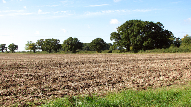
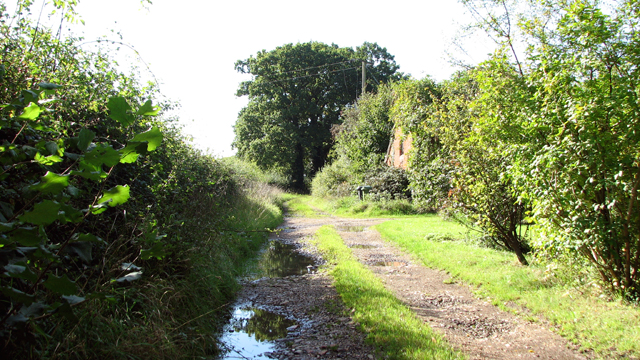
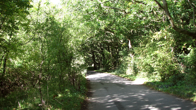
Browick Images
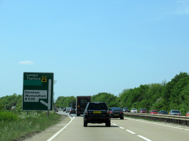
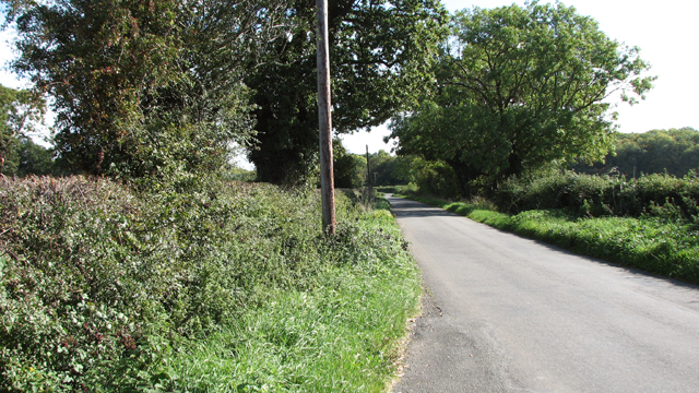
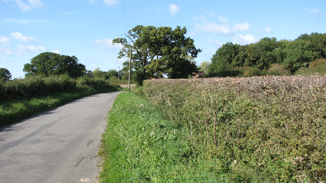
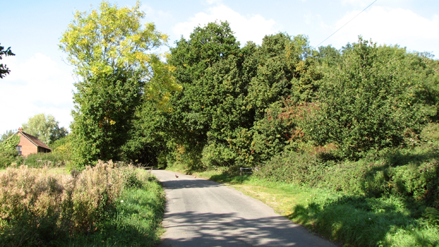
Images are sourced within 2km of 52.573861/1.1537867 or Grid Reference TG1302. Thanks to Geograph Open Source API. All images are credited.


Browick is located at Grid Ref: TG1302 (Lat: 52.573861, Lng: 1.1537867)
Administrative County: Norfolk
District: South Norfolk
Police Authority: Norfolk
What 3 Words
///thousands.taxi.diet. Near Hethersett, Norfolk
Nearby Locations
Related Wikis

Spinks Lane railway station
Spink's Lane was a railway station on Spink's Lane on the eastern outskirts of Wymondham, Norfolk. It was opened very briefly in 1845 to trains on the...

Murders at Stanfield Hall
The Murders at Stanfield Hall were a notorious Victorian era double murder on 28 November 1848 that was commemorated in print, pottery, wax, as well as...

Kett's Oak
Kett's Oak is one of the 50 Great British Trees. The ancient oak tree (Quercus robur) is located at the side of the B1172 road between Wymondham and Hethersett...

RAF Hethel
Royal Air Force Hethel or more simply RAF Hethel is a former Royal Air Force station (ICAO: EGSK) which was used by both the United States Army Air Forces...
Nearby Amenities
Located within 500m of 52.573861,1.1537867Have you been to Browick?
Leave your review of Browick below (or comments, questions and feedback).