Broomhill

Settlement in Ross-shire

Scotland

Broomhill

Rosemarkie Stone A beautifully carved Class 2 sculptured sandstone slab, one of several found in Easter Ross.
Rosemarkie Stone Credit: Anne Burgess

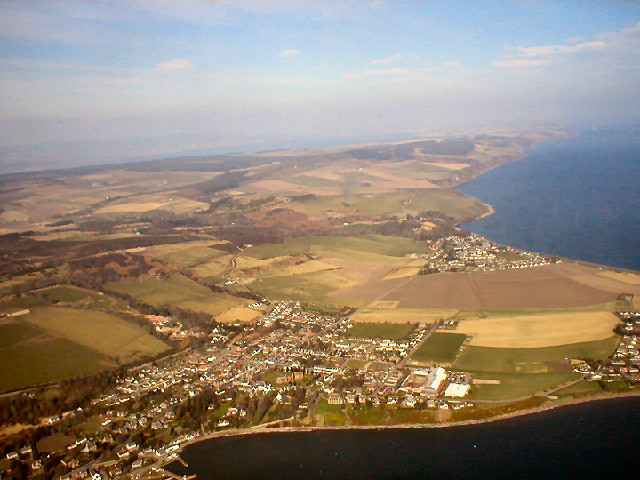
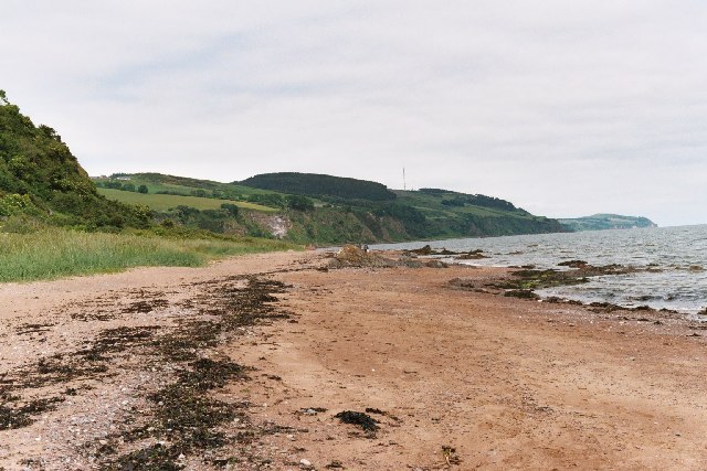
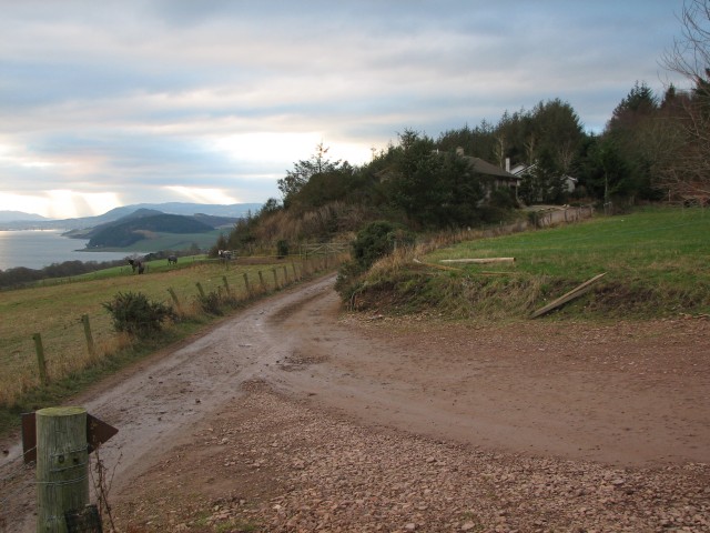
Broomhill is a small village located in the Ross-shire region of Scotland. Situated in the northern part of the country, Broomhill is surrounded by picturesque landscapes, including rolling hills, forests, and stunning views of the nearby Cromarty Firth. The village is part of the larger town of Dingwall, which is just a short drive away.

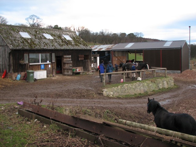
Broomhill is known for its tranquil and peaceful atmosphere, making it an ideal place for those seeking a quiet and relaxed lifestyle. The village is primarily residential, with a small number of houses and cottages dotting the landscape. The community is close-knit, with friendly and welcoming residents.

Despite its small size, Broomhill offers a range of amenities and services to its residents. The village has a primary school, providing education for local children, and there are also several shops and businesses catering to daily needs. For more extensive shopping and entertainment options, residents can easily access Dingwall, which is approximately three miles away.

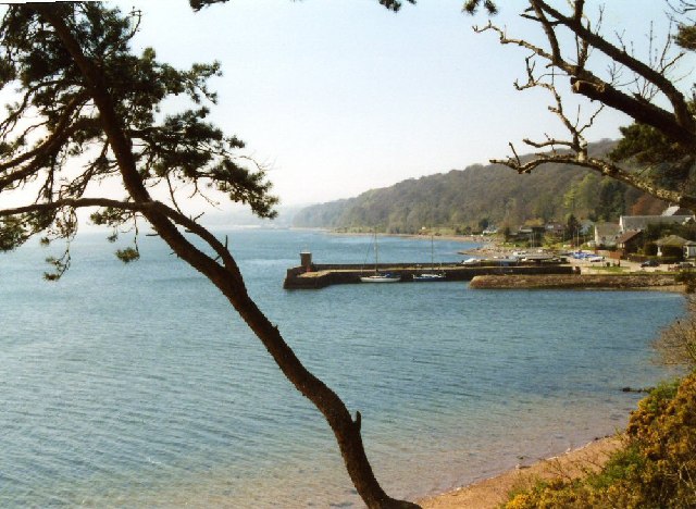
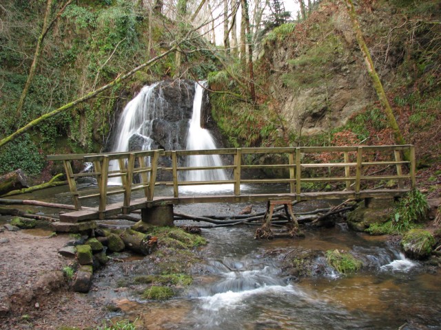
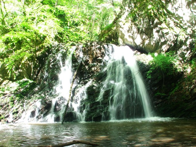
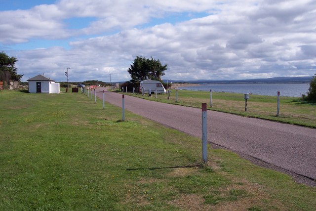
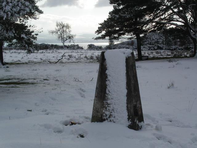
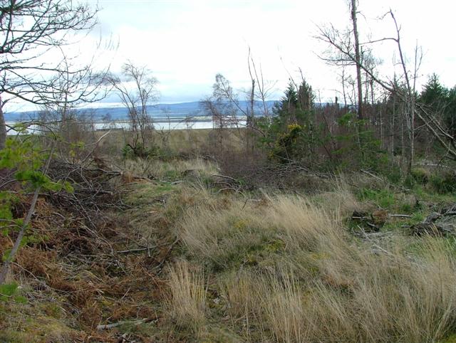
The surrounding area of Broomhill provides ample opportunities for outdoor activities and exploration. Nature enthusiasts can enjoy walks and hikes in the nearby forests, or take in the breathtaking views of the Cromarty Firth. The village is also within close proximity to several historical landmarks and attractions, such as the medieval Dingwall Castle and the Black Isle Wildlife and Country Park.

Overall, Broomhill offers a peaceful and picturesque setting, with a strong sense of community and access to beautiful natural surroundings. It is an ideal place for those seeking a quiet and scenic lifestyle, while still being within reach of essential amenities and nearby towns.

If you have any feedback on the listing, please let us know in the comments section below.
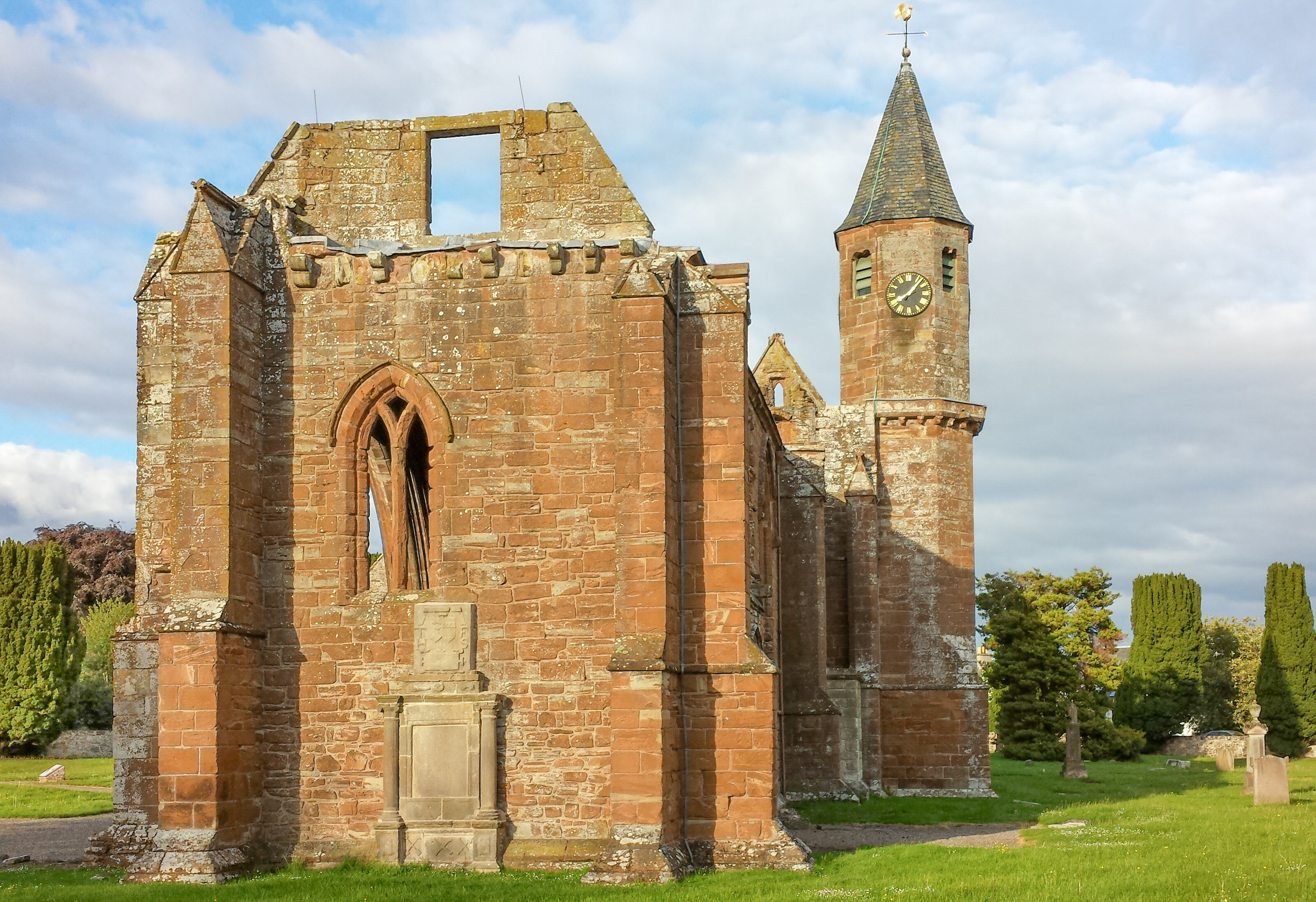
Broomhill Images

Images are sourced within 2km of 57.582828/-4.1435224 or Grid Reference NH7156. Thanks to Geograph Open Source API. All images are credited.

Rosemarkie Stone A beautifully carved Class 2 sculptured sandstone slab, one of several found in Easter Ross.
Rosemarkie Stone
A beautifully carved Class 2 sculptured sandstone slab, one of several found in Easter Ross.
Fortrose Cathedral This cathedral, like many another, was allowed to fall into disrepair after the Reformation.
Fortrose Cathedral
This cathedral, like many another, was allowed to fall into disrepair after the Reformation.
Fortrose Harbour the stone harbour shelters the colourful craft of the Chanonry Sailing Club.
Fortrose Harbour
the stone harbour shelters the colourful craft of the Chanonry Sailing Club.
Fortrose & the Black Isle Photograph taken from Super Puma helicopter en route Faroes
Fortrose & the Black Isle
Photograph taken from Super Puma helicopter en route Faroes
Rosemarkie Beach
Rosemarkie Beach
View from Broomhill Farm Looking west towards the Kessock Bridge from near Broomhill Farm.
View from Broomhill Farm
Looking west towards the Kessock Bridge from near Broomhill Farm.
Broomhill Farm Farm above Fortrose offering pony trekking and ATV riding.
Broomhill Farm
Farm above Fortrose offering pony trekking and ATV riding.
PEACOCK and horse Farmyard companions, Broomhill Farm.
PEACOCK and horse
Farmyard companions, Broomhill Farm.
Waterfall in the Fairy Glen The top of the Fairy Glen path.  The log just appearing at the left of the picture is heavily studded with coins.  Lots of melted coloured wax on some of the rocks in the glen, and a few twig pentagrams hanging up too.  Strange place.
Waterfall in the Fairy Glen
The top of the Fairy Glen path. The log just appearing at the left of the picture is heavily studded with coins. Lots of melted coloured wax on some of the rocks in the glen, and a few twig pentagrams hanging up too. Strange place.
Waterfall in Fairy Glen The glen gets its name from an old tradition. Every Sunday, the children of the village would gather in the glen, at the site of a spring. They would tidy up the pool area around the spring and sprinkle flower petals on it as a gift to the fairies. The fairies in return would ensure a good clean supply of water for the village.
Waterfall in Fairy Glen
The glen gets its name from an old tradition. Every Sunday, the children of the village would gather in the glen, at the site of a spring. They would tidy up the pool area around the spring and sprinkle flower petals on it as a gift to the fairies. The fairies in return would ensure a good clean supply of water for the village.
Roads department shed Dilapidated building beside A832 between Avoch and Fortrose.
Roads department shed
Dilapidated building beside A832 between Avoch and Fortrose.
Playing field at Rosemarkie Beach
Fortrose Caravan and Camping site This site is within a few metres of the beach and with stunning views. In the background of this photo, you can see Chanonry Ness and the lighthouse overlooking the Moray Firth.
Fortrose Caravan and Camping site
This site is within a few metres of the beach and with stunning views. In the background of this photo, you can see Chanonry Ness and the lighthouse overlooking the Moray Firth.
Single Track road descending to Fortrose A small road wends its way over the top of the Black Isle then suddenly drops down steeply. A fantastic view across the farmland opens up, down to Fortrose, Chanonry Point, Fort George and beyond.
A panoramic stitched view of 3 photos.
Single Track road descending to Fortrose
A small road wends its way over the top of the Black Isle then suddenly drops down steeply. A fantastic view across the farmland opens up, down to Fortrose, Chanonry Point, Fort George and beyond. A panoramic stitched view of 3 photos.
Looking SW to NH 73773 57481
Fortrose Hill trig point A snowy summit with a glimpse of the Cromarty Firth behind in the distance.
Fortrose Hill trig point
A snowy summit with a glimpse of the Cromarty Firth behind in the distance.
Partly Felled Woodland Overlooking the Moray Firth.
Partly Felled Woodland
Overlooking the Moray Firth.
Fortrose: Union Street and the Anderson bar/restaurant
Show me another place!

Broomhill is located at Grid Ref: NH7156 (Lat: 57.582828, Lng: -4.1435224)

Unitary Authority: Highland

Police Authority: Highlands and Islands

What 3 Words

///clerk.along.massaged. Near Fortrose, Highland

Nearby Locations

Broomhill

Related Wikis

Fortrose railway station

Fortrose was the terminus of a single track branch of the Highland Railway in north east Scotland. It connected villages in The Black Isle peninsula to...

Loch Ness F.C.

Loch Ness Football Club is a Scottish football club playing in the North Caledonian Football League currently based in the town of Fortrose in the Scottish...

Fortrose

Fortrose is a town and former royal burgh in Highland, Scotland, United Kingdom. It is located on the Black Isle, a peninsula on the Moray Firth. It is...

Diocese of Ross (Scotland)

The Diocese of Ross was an ecclesiastical territory or diocese in the Highland region of Scotland during the Middle Ages and Early modern period. The Diocese...

Nearby Amenities

Located within 500m of 57.582828,-4.1435224
Post Box
Collection Times: Mo-Fr 13:30; Sa 13:30
Operator: Royal Mail
Post Box Type: lamp
Ref: IV10 144
Royal Cypher: scottish_crown
Lat/Long: 57.5802037/-4.1423663
Power: pole
Lat/Long: 57.5794183/-4.1478924
Power: pole
Lat/Long: 57.5803914/-4.1472585
Power: pole
Lat/Long: 57.5805894/-4.1464996
Power: pole
Lat/Long: 57.5808657/-4.1455215
Power: pole
Lat/Long: 57.5812465/-4.1442107
Power: pole
Lat/Long: 57.5816664/-4.1426969
Power: pole
Lat/Long: 57.5819819/-4.1415768
Power: pole
Lat/Long: 57.5822995/-4.1404648
Power: pole
Lat/Long: 57.5829054/-4.1398256
Power: pole
Lat/Long: 57.5835157/-4.1391945
Power: pole
Lat/Long: 57.5839573/-4.138046
Power: pole
Lat/Long: 57.5844207/-4.1368284
Generator Method: photovoltaic
Generator Output Electricity: yes
Generator Source: solar
Generator Type: solar_photovoltaic_panel
Power: generator
Lat/Long: 57.5812407/-4.1356981
Generator Method: photovoltaic
Generator Output Electricity: yes
Generator Source: solar
Generator Type: solar_photovoltaic_panel
Power: generator
Lat/Long: 57.5789032/-4.1433911
Generator Method: photovoltaic
Generator Output Electricity: yes
Generator Source: solar
Generator Type: solar_photovoltaic_panel
Power: generator
Lat/Long: 57.578649/-4.1424174
The data included in this document is from www.openstreetmap.org. The data is made available under ODbL.

Have you been to Broomhill?

Leave your review of Broomhill below (or comments, questions and feedback).