Broom of Moy
Settlement in Morayshire
Scotland
Broom of Moy
Broom of Moy is a small village located in Morayshire, Scotland. Situated in the northeast of the country, this picturesque settlement is surrounded by the stunning natural beauty of the Scottish Highlands. The village is nestled between the River Findhorn and the slopes of the Monadhliath Mountains, providing residents and visitors with breathtaking views of the landscape.
With a population of around 300 people, Broom of Moy is known for its tight-knit community and friendly atmosphere. The village offers a peaceful and idyllic lifestyle, away from the hustle and bustle of larger towns and cities. The residents take pride in their surroundings and maintain the charming character of the village.
Broom of Moy is a haven for outdoor enthusiasts, offering a range of activities for nature lovers. The nearby River Findhorn is renowned for its salmon fishing, attracting anglers from far and wide. Hiking and cycling routes are abundant in the area, allowing visitors to explore the surrounding hills and forests.
In terms of amenities, Broom of Moy features a small general store, providing residents with basic necessities and groceries. Additionally, there is a cozy village pub where locals and visitors can socialize and enjoy a pint of traditional Scottish ale.
Overall, Broom of Moy is a tranquil and picturesque village in Morayshire, Scotland. With its stunning natural surroundings and welcoming community, it offers a peaceful retreat for those seeking a rural lifestyle.
If you have any feedback on the listing, please let us know in the comments section below.
Broom of Moy Images
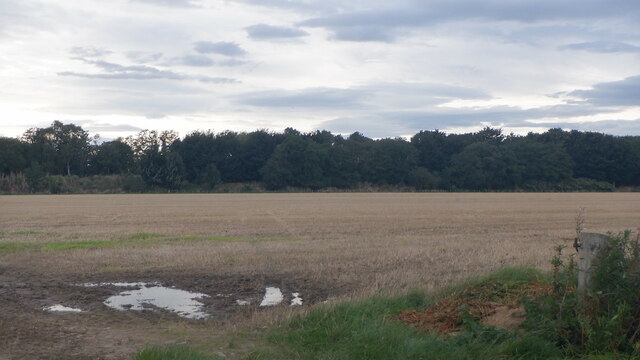
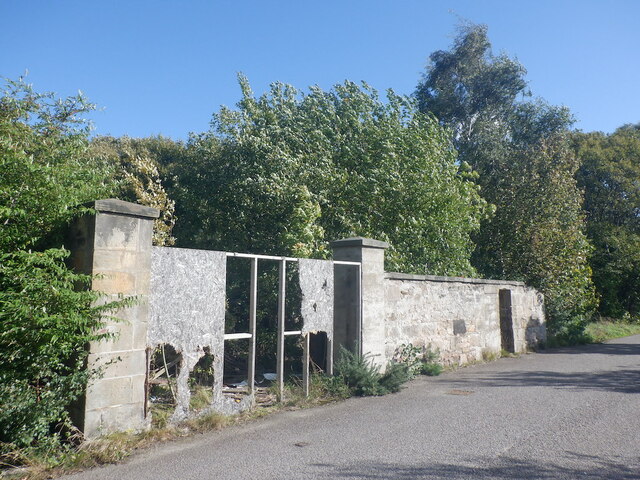
Images are sourced within 2km of 57.612966/-3.6419441 or Grid Reference NJ0259. Thanks to Geograph Open Source API. All images are credited.


Broom of Moy is located at Grid Ref: NJ0259 (Lat: 57.612966, Lng: -3.6419441)
Unitary Authority: Moray
Police Authority: North East
What 3 Words
///crops.simulator.claim. Near Forres, Moray
Nearby Locations
Related Wikis

Findhorn Viaduct (Forres)
The Findhorn Viaduct is a railway bridge near Forres in Moray, Scotland. Built for the Inverness & Aberdeen Junction Railway between 1856 and 1858 by Joseph...

Forres railway station
Forres railway station serves the town of Forres, Moray in Scotland. The station is managed and served by ScotRail and is on the Aberdeen–Inverness line...
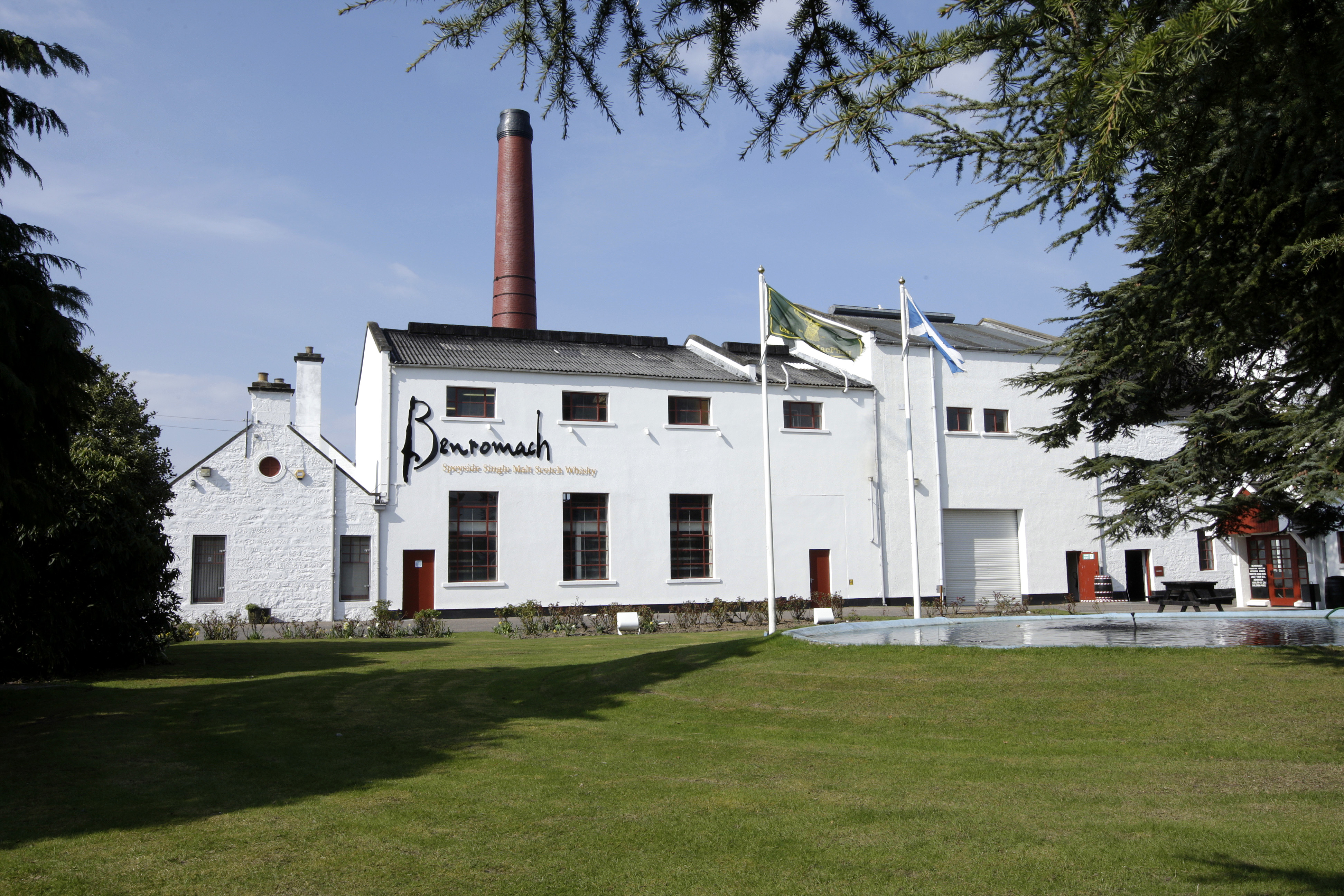
Benromach distillery
Benromach distillery is a Speyside distillery founded by Duncan McCallum and F.W. Brickman in 1898 and currently owned and run by Gordon and Macphail of...

Forres
Forres (; Scottish Gaelic: Farrais) is a town and former royal burgh in the north of Scotland on the Moray coast, approximately 25 miles (40 km) northeast...
Nearby Amenities
Located within 500m of 57.612966,-3.6419441Have you been to Broom of Moy?
Leave your review of Broom of Moy below (or comments, questions and feedback).