Brooklands

Settlement in Kent Dartford

England

Brooklands

Entrance to Darenth Country Park, near Dartford A driveway entering the Darenth Country Park in North Kent.  The driveway enters the park from a roundabout on the B260 road.
Entrance to Darenth Country Park, near Dartford Credit: Malc McDonald

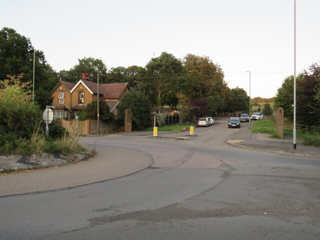
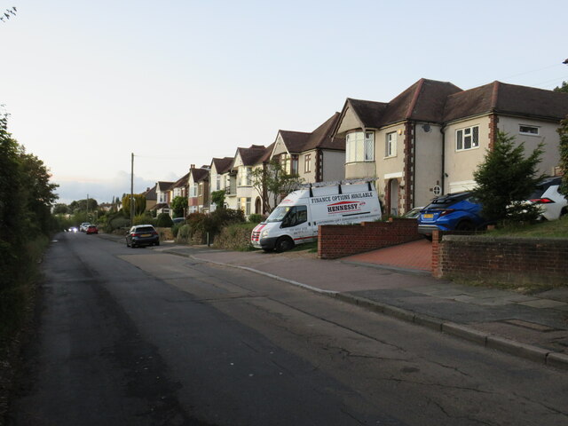
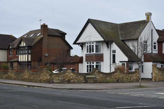
Brooklands is a small village located in the county of Kent, in southeast England. Situated approximately 4 miles west of the town of Dartford, it is a rural community with a population of around 1,000 residents. The village is surrounded by picturesque countryside, offering a peaceful and idyllic setting for its inhabitants.

One of the notable features of Brooklands is its close proximity to the River Darent, which flows nearby and adds to the charm of the area. The river provides opportunities for leisure activities such as fishing and boating, attracting both locals and visitors alike. Additionally, the village is surrounded by lush green fields and woodland, making it an ideal location for nature lovers and outdoor enthusiasts.

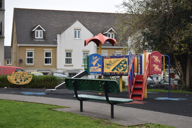
Despite its small size, Brooklands has a strong sense of community, with a village hall serving as a hub for various social and recreational events. The village also has a primary school, ensuring that families have access to education within the local area.

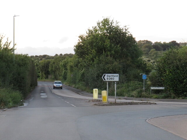
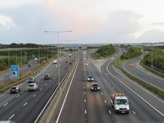
For amenities and services, residents can easily access nearby towns such as Dartford, which offers a range of shops, supermarkets, and healthcare facilities. The village also benefits from good transport links, with easy access to major roads and motorways, making it convenient for commuters.

In summary, Brooklands is a charming rural village in Kent, offering a close-knit community, beautiful natural surroundings, and convenient access to nearby towns and amenities. It is a tranquil and desirable place to live for those seeking a peaceful countryside lifestyle.

If you have any feedback on the listing, please let us know in the comments section below.
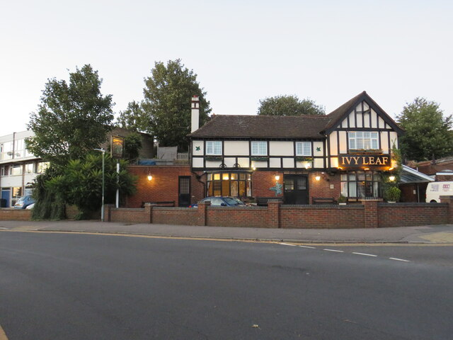
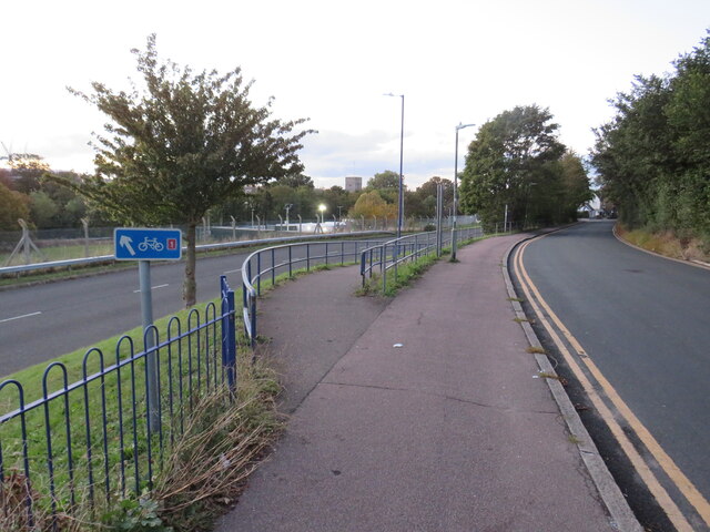
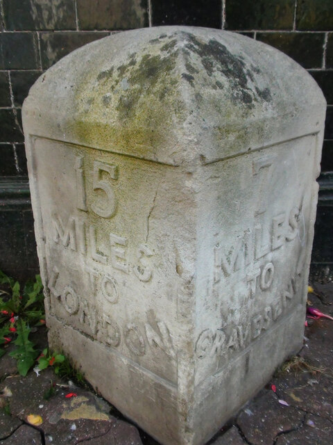
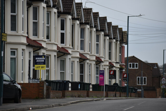
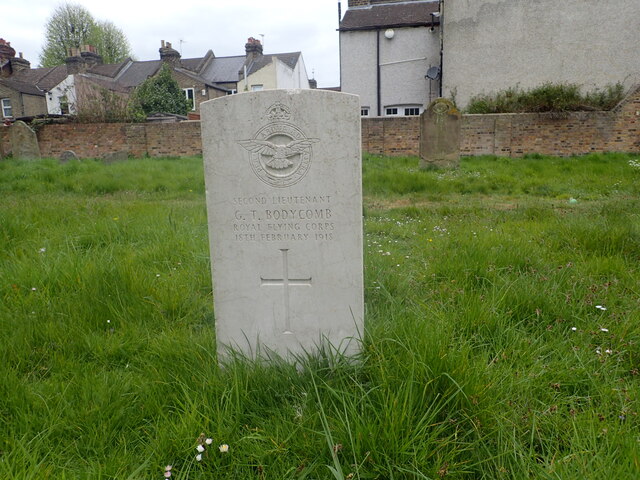
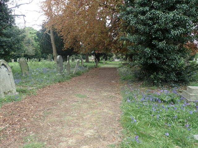
Brooklands Images

Images are sourced within 2km of 51.433229/0.22368433 or Grid Reference TQ5472. Thanks to Geograph Open Source API. All images are credited.

Entrance to Darenth Country Park, near Dartford A driveway entering the Darenth Country Park in North Kent.  The driveway enters the park from a roundabout on the B260 road.
Entrance to Darenth Country Park, near Dartford
A driveway entering the Darenth Country Park in North Kent. The driveway enters the park from a roundabout on the B260 road.
Trolling Down Hill, near Dartford Trolling Down Hill forms part of the route of the B260 road in north Kent.

This image was taken in fading light, at dusk on an October day.
Trolling Down Hill, near Dartford
Trolling Down Hill forms part of the route of the B260 road in north Kent. This image was taken in fading light, at dusk on an October day.
Start of the M25, Dartford The M25 almost forms a complete ring around the edge of London.  However the ring is broken between Dartford in Kent and West Thurrock on the north side of the Thames, with the A282 Dartford tunnels and bridge filling in the gap.

This photo shows the start of the M25, heading south from Dartford as it starts its clockwise journey of 117 miles around the edge of London to West Thurrock.  Slip roads carry traffic onto and from the A2, which crosses the M25 about a kilometre to the south.

The photo was taken in fading light, at dusk on an October evening.
Start of the M25, Dartford
The M25 almost forms a complete ring around the edge of London. However the ring is broken between Dartford in Kent and West Thurrock on the north side of the Thames, with the A282 Dartford tunnels and bridge filling in the gap. This photo shows the start of the M25, heading south from Dartford as it starts its clockwise journey of 117 miles around the edge of London to West Thurrock. Slip roads carry traffic onto and from the A2, which crosses the M25 about a kilometre to the south. The photo was taken in fading light, at dusk on an October evening.
Darenth Road, Dartford Darenth Road is a residential road in Dartford.  This image was taken at dusk on an October day, as light was fading.
Darenth Road, Dartford
Darenth Road is a residential road in Dartford. This image was taken at dusk on an October day, as light was fading.
Ivy Leaf pub, Dartford The Ivy Leaf pub in Dartford, photographed at dusk on an October day.
Ivy Leaf pub, Dartford
The Ivy Leaf pub in Dartford, photographed at dusk on an October day.
Brent Lane, Dartford Brent Lane is a residential road in the town of Dartford.  It is on the route of National Cycle Network route 1.
Brent Lane, Dartford
Brent Lane is a residential road in the town of Dartford. It is on the route of National Cycle Network route 1.
National Cycle Network route 1, Dartford The blue sign indicates that National Cycle Network route 1 takes the ramp to the left as it makes its way through the Kent town of Dartford.

This image was taken in fading light, at dusk on an October day.
National Cycle Network route 1, Dartford
The blue sign indicates that National Cycle Network route 1 takes the ramp to the left as it makes its way through the Kent town of Dartford. This image was taken in fading light, at dusk on an October day.
Old Milestone High Street, Dartford By The Royal Victoria and Bull Hotel in the pedestrianised area. In parish of DARTFORD (DARTFORD District), High Street, by No.1, The Royal Victoria and Bull Hotel, set in paviors by brick wall, on South side of road. Gravesend iron plate, erected by the Dartford & Strood turnpike trust in the 19th century. Alternative view <a href="https://www.geograph.org.uk/photo/6037659">TQ5474 : Old Milestone by The Royal Victoria and Bull Hotel, High Street, Dartford</a>

Inscription reads:-
15 / MILES / TO / LONDON // 7 / MILES / TO / GRAVESEND

Milestone Society National ID: KE_LD15
Old Milestone High Street, Dartford
By The Royal Victoria and Bull Hotel in the pedestrianised area. In parish of DARTFORD (DARTFORD District), High Street, by No.1, The Royal Victoria and Bull Hotel, set in paviors by brick wall, on South side of road. Gravesend iron plate, erected by the Dartford & Strood turnpike trust in the 19th century. Alternative view TQ5474 : Old Milestone by The Royal Victoria and Bull Hotel, High Street, Dartford Inscription reads:- 15 / MILES / TO / LONDON // 7 / MILES / TO / GRAVESEND Milestone Society National ID: KE_LD15
Terraced houses on Highfield Road
Houses on the corner of Christchurch Road
Colourful play area on a grey day
Junction at the bottom of West Hill Looking into Spital Street.  The timber-framed building is The Royal Oak pub.
Junction at the bottom of West Hill
Looking into Spital Street. The timber-framed building is The Royal Oak pub.
War grave in East Hill Cemetery Burial records for East Hill began in 1856 and the first burial was Elizabeth Barnes on the 5th October of that year. The cemetery was originally known as The Brent Cemetery from this part of Dartford which is known as The Brent.
War grave in East Hill Cemetery
Burial records for East Hill began in 1856 and the first burial was Elizabeth Barnes on the 5th October of that year. The cemetery was originally known as The Brent Cemetery from this part of Dartford which is known as The Brent.
Spanish bluebells in East Hill Cemetery Burial records for East Hill began in 1856 and the first burial was Elizabeth Barnes on the 5th October of that year. The cemetery was originally known as The Brent Cemetery from this part of Dartford which is known as The Brent.
Spanish bluebells in East Hill Cemetery
Burial records for East Hill began in 1856 and the first burial was Elizabeth Barnes on the 5th October of that year. The cemetery was originally known as The Brent Cemetery from this part of Dartford which is known as The Brent.
War grave in East Hill Cemetery Burial records for East Hill began in 1856 and the first burial was Elizabeth Barnes on the 5th October of that year. The cemetery was originally known as The Brent Cemetery from this part of Dartford which is known as The Brent. Interestingly the Royal Flying Corps which was the predecessor of the Royal Air Force had the same motto - Per Ardua Ad Astra.
War grave in East Hill Cemetery
Burial records for East Hill began in 1856 and the first burial was Elizabeth Barnes on the 5th October of that year. The cemetery was originally known as The Brent Cemetery from this part of Dartford which is known as The Brent. Interestingly the Royal Flying Corps which was the predecessor of the Royal Air Force had the same motto - Per Ardua Ad Astra.
East Hill Cemetery Burial records for East Hill began in 1856 and the first burial was Elizabeth Barnes on the 5th October of that year. The cemetery was originally known as The Brent Cemetery from this part of Dartford which is known as The Brent.
East Hill Cemetery
Burial records for East Hill began in 1856 and the first burial was Elizabeth Barnes on the 5th October of that year. The cemetery was originally known as The Brent Cemetery from this part of Dartford which is known as The Brent.
East Hill Cemetery Burial records for East Hill began in 1856 and the first burial was Elizabeth Barnes on the 5th October of that year. The cemetery was originally known as The Brent Cemetery from this part of Dartford which is known as The Brent. The bluebells are Spanish bluebells.
East Hill Cemetery
Burial records for East Hill began in 1856 and the first burial was Elizabeth Barnes on the 5th October of that year. The cemetery was originally known as The Brent Cemetery from this part of Dartford which is known as The Brent. The bluebells are Spanish bluebells.
Spanish bluebells in East Hill Cemetery Burial records for East Hill began in 1856 and the first burial was Elizabeth Barnes on the 5th October of that year. The cemetery was originally known as The Brent Cemetery from this part of Dartford which is known as The Brent. Unusually, the invasive Spanish bluebells see here include not only blue, but also white and pink varieties.
Spanish bluebells in East Hill Cemetery
Burial records for East Hill began in 1856 and the first burial was Elizabeth Barnes on the 5th October of that year. The cemetery was originally known as The Brent Cemetery from this part of Dartford which is known as The Brent. Unusually, the invasive Spanish bluebells see here include not only blue, but also white and pink varieties.
Show me another place!

Brooklands is located at Grid Ref: TQ5472 (Lat: 51.433229, Lng: 0.22368433)

Administrative County: Kent

District: Dartford

Police Authority: Kent

What 3 Words

///define.laptop.script. Near Dartford, Kent

Nearby Locations

Brooklands

Related Wikis

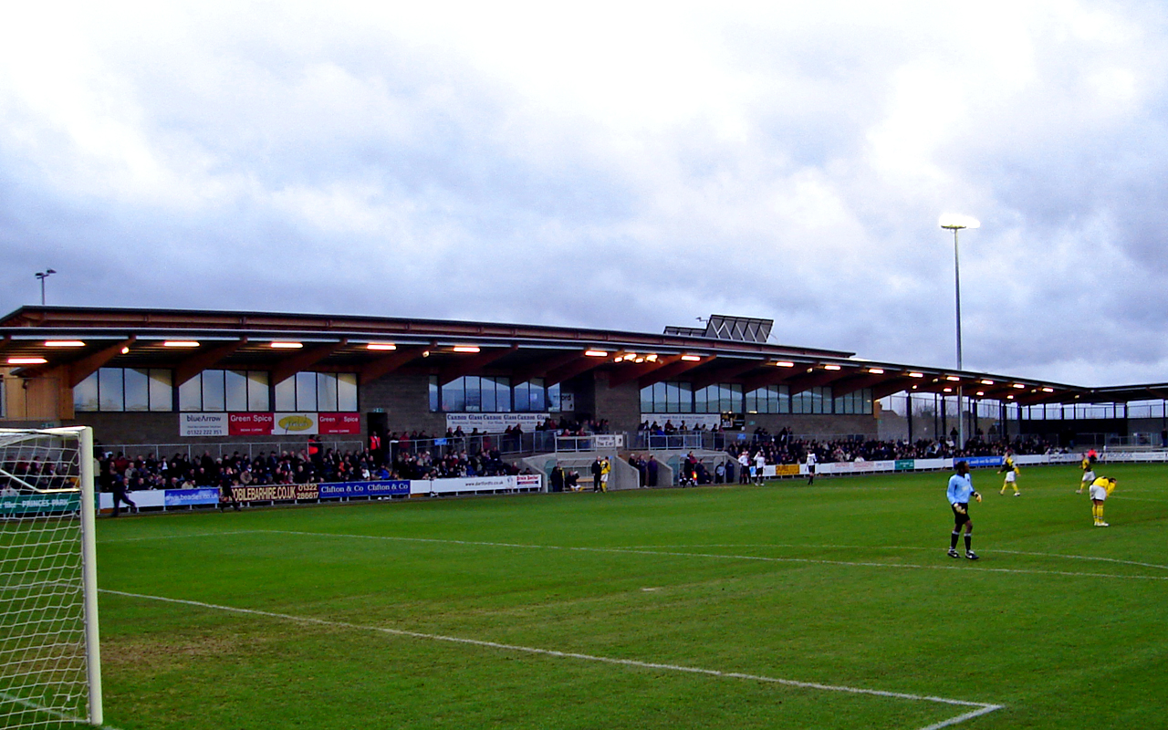
Princes Park (Dartford)

Princes Park is a football stadium in Dartford, Kent, England. It is the home of Dartford F.C. and London City Lionesses. Thamesmead Town were also sharing...

Crown Alexandra F.C.

Crown Alexandra Football Club was a football club located in Dartford, in Kent, England == History == Crown Alexandra was formed by Michael Day in July...

Kent Football United F.C.

Kent Football United Football Club was a semi-professional football club based in Dartford, Kent, England. They play at the Glentworth Sports Club. �...

Dartford Brent

Dartford Brent was an extensive area of common land on the outskirts of Dartford in Kent. Historically, it was the scene of a confrontation between King...

Leigh Academy

The Leigh Academy is a state funded academy for the Dartford area of Kent, England. It is part of the Leigh Academies Trust. The academy's principal, also...

Hesketh Park (cricket ground)

Hesketh Park is a cricket ground in Dartford in Kent. The ground is the home of Dartford Cricket Club, one of the oldest cricket clubs in the United Kingdom...
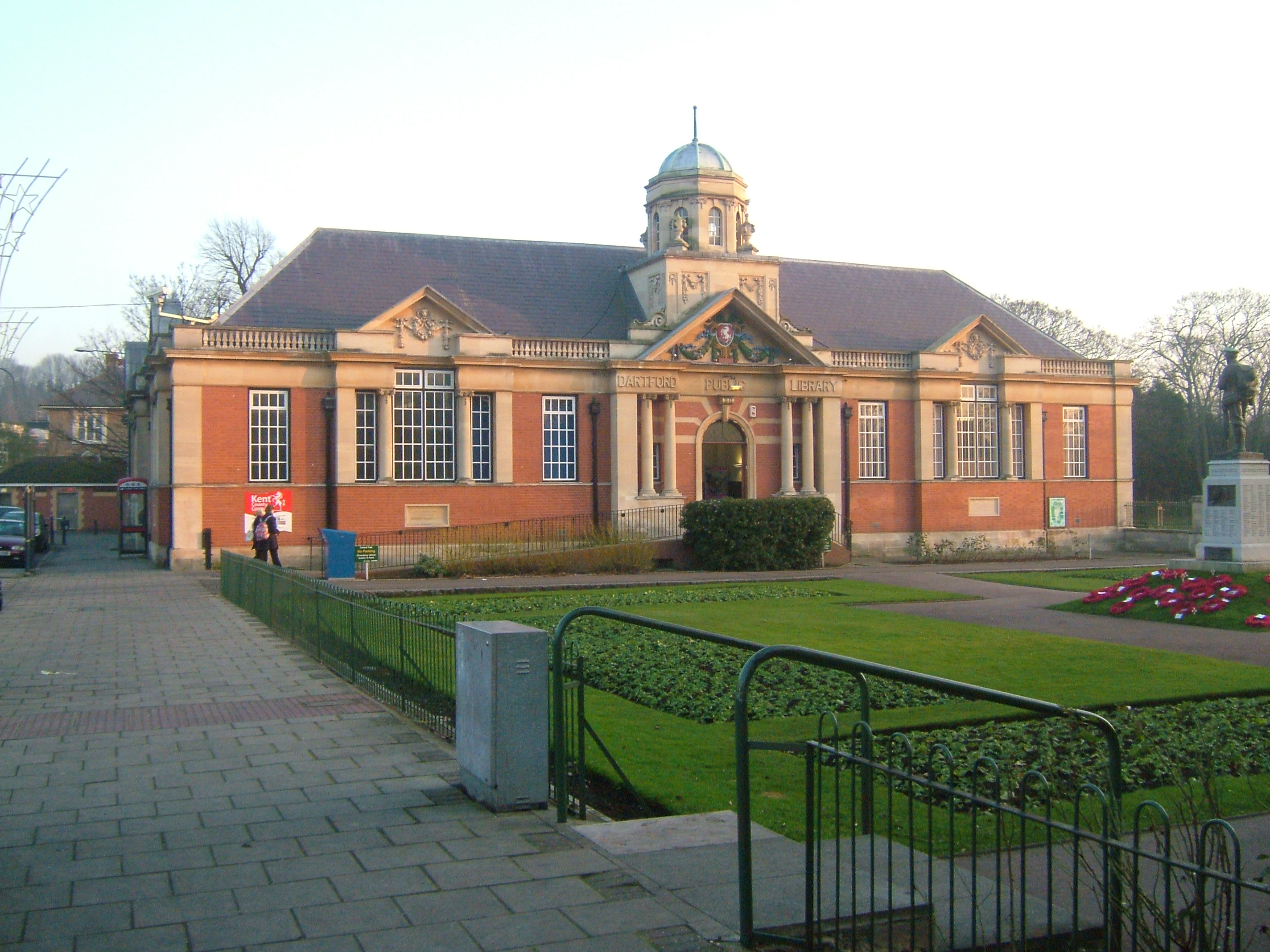
Dartford Library

Dartford Central Library and Museum is a library in the town centre of Dartford, Kent, England. The library was opened on 1 January 1916 by A. W. Smale...

Holy Trinity Church, Dartford

Holy Trinity Church, Dartford, is a parish church affiliated with the Church of England in Dartford, Kent. It is a Grade I listed building dating from...

Nearby Amenities

Located within 500m of 51.433229,0.22368433
Turning Circle
Lat/Long: 51.4340959/0.2167996
Turning Circle
Lat/Long: 51.4341611/0.2194814
Barrier: cycle_barrier
Foot: yes
Material: metal
Lat/Long: 51.4349746/0.2249119
Post Box
Brand: Royal Mail
Brand Wikidata: Q638098
Image: https://www.bing.com/maps?osid=21347c0e-a8e3-425f-a295-47876bbe7a84&cp=51.431142~0.219182&lvl=19&dir=280.00085&pi=-6.883288&style=x&mo=z.2.86&v=2&sV=2&form=S00027
Operator: Royal Mail
Operator Wikidata: Q638098
Post Box Mounting: brick_pillar
Post Box Type: wall
Lat/Long: 51.431134/0.2190533
Post Box
Lat/Long: 51.4332052/0.2221624
Bus Stop
Warren Road
Bus: yes
Naptan AtcoCode: 2400A019360A
Naptan Bearing: SE
Naptan CommonName: Warren Road
Naptan Indicator: opp
Naptan Landmark: Warren Road
Naptan NaptanCode: kntatwaj
Naptan Street: Hawley Road
Naptan Verified: no
Public Transport: platform
Source: naptan_import
Lat/Long: 51.4313544/0.2188447
Bus Stop
Claremont Cottages
Bus: yes
Naptan AtcoCode: 2400A019370A
Naptan Bearing: SE
Naptan CommonName: Claremont Cottages
Naptan Indicator: opp
Naptan Landmark: Claremont Cottages
Naptan NaptanCode: kntatwam
Naptan Street: Hawley Road
Naptan Verified: no
Public Transport: platform
Source: naptan_import
Lat/Long: 51.4290473/0.2228907
Bus Stop
Claremont Cottages
Bus: yes
Naptan AtcoCode: 2400A019600A
Naptan Bearing: E
Naptan CommonName: Claremont Cottages
Naptan Indicator: adj
Naptan Landmark: Claremont Cottages
Naptan NaptanCode: kntatwjw
Naptan Street: Hawley Road
Naptan Verified: no
Public Transport: platform
Source: naptan_import
Lat/Long: 51.4293199/0.2217961
Bus Stop
Warren Road
Bus: yes
Naptan AtcoCode: 2400A019610A
Naptan Bearing: NW
Naptan CommonName: Warren Road
Naptan Indicator: adj
Naptan Landmark: Warren Road
Naptan NaptanCode: kntatwma
Naptan Street: Hawley Road
Naptan Verified: no
Public Transport: platform
Source: naptan_import
Lat/Long: 51.4307325/0.2198648
Fuel
Shell Hawley
Addr City: Dartford
Addr Postcode: DA1 1PU
Addr Street: Hawley Road
Brand: Shell
Brand Wikidata: Q110716465
Contact Website: https://find.shell.com/gb/fuel/10018924-shell-hawley
Opening Hours: 24/7
Phone: +44 1322 221158
Ref Navads: NVDS353_10018924
Lat/Long: 51.4290249/0.2233868
Barrier: swing_gate
Swing Gate Type: single
Vehicle: no
Lat/Long: 51.434201/0.2197546
Barrier: lift_gate
Lat/Long: 51.4342384/0.2218619
Give Way
Lat/Long: 51.4341614/0.2285418
Noexit: yes
Lat/Long: 51.4355031/0.2268729
Traffic Calming: table
Lat/Long: 51.432789/0.2274981
Traffic Calming: hump
Lat/Long: 51.4358843/0.2260217
Claremont Cottages
Bus: yes
Public Transport: stop_position
Lat/Long: 51.4290114/0.2228627
Claremont Cottages
Bus: yes
Public Transport: stop_position
Lat/Long: 51.4293543/0.221841
Warren Road
Bus: yes
Public Transport: stop_position
Lat/Long: 51.431309/0.2187862
Warren Road
Bus: yes
Public Transport: stop_position
Lat/Long: 51.4307495/0.21989
Powder Mill Lane
Bus: yes
Public Transport: stop_position
Lat/Long: 51.4323476/0.2172837
Bus Stop
Powder Mill Lane
Bus: yes
Naptan AtcoCode: 2400102976
Naptan NaptanCode: kntjgmtd
Public Transport: platform
Lat/Long: 51.432378/0.217344
Image: https://archive.org/details/dartford-2021-05-09/2021-05-09_16-46-00_20210509_18_32_46.jpg
Operator: UK Power Networks
Operator Wikidata: Q7864927
Power: substation
Lat/Long: 51.4349256/0.2243742
Daikin Applied Development Centre UK
Man Made: works
Note: Includes units 40 and 41
Lat/Long: 51.434133/0.2246994
Note: Doesn't appear to lead anywhere useful, private land beyond here
Lat/Long: 51.4366478/0.2238062
Bench
Note: Picnic bench in the abandoned and overgrown picnic area. Approx location
Lat/Long: 51.436305/0.2238786
Crossing
Crossing: unmarked
Kerb: lowered
Tactile Paving: yes
Lat/Long: 51.4354069/0.227565
Noexit: yes
Lat/Long: 51.4327687/0.2292405
Street Lamp
Lat/Long: 51.4356224/0.2272783
Street Lamp
Lat/Long: 51.4356003/0.2271181
Street Lamp
Lat/Long: 51.4355254/0.2268659
Street Lamp
Lat/Long: 51.4355112/0.226648
Give Way
Lat/Long: 51.435686/0.2272931
RideDMC Motorcycles
Shop: motorcycle
Lat/Long: 51.4352391/0.2262738
Traffic Calming: hump
Lat/Long: 51.4357806/0.2260946
Traffic Calming: hump
Lat/Long: 51.4360574/0.2259116
Fixme: Is it possible to continue along path - it is very overgrown
Lat/Long: 51.4366085/0.2258836
Power: pole
Lat/Long: 51.4294291/0.2260043
Material: wood
Power: pole
Lat/Long: 51.4302493/0.2271187
Street Lamp
Lat/Long: 51.4337818/0.2278952
Street Lamp
Lat/Long: 51.4335921/0.2277041
Street Lamp
Note: Approx position
Lat/Long: 51.4330904/0.227222
Street Lamp
Note: Approx position
Ref: AJBU303
Lat/Long: 51.4332844/0.2273849
Street Lamp
Ref: ACTR302
Lat/Long: 51.4335987/0.2275177
Grit Bin
Lat/Long: 51.435233/0.2274966
Crossing
Crossing: unmarked
Kerb: lowered
Lat/Long: 51.4360295/0.2272182
Street Lamp
Lat/Long: 51.4361234/0.227048
Street Lamp
Lat/Long: 51.43197/0.227802
Street Lamp
Lat/Long: 51.4321732/0.2277128
Street Lamp
Lat/Long: 51.4324466/0.2277142
Street Lamp
Lat/Long: 51.432654/0.2276223
Street Lamp
Lat/Long: 51.4334508/0.2284337
Barrier: bollard
Foot: yes
Motorcar: no
Lat/Long: 51.4333772/0.228393
Street Lamp
Lat/Long: 51.4336414/0.228726
Barrier: bollard
Bollard Count: 2
Foot: yes
Material: metal
Motorcar: no
Lat/Long: 51.4336424/0.2287757
Noexit: yes
Lat/Long: 51.4328417/0.2291961
Noexit: yes
Lat/Long: 51.4326991/0.2292792
Street Lamp
Lat/Long: 51.4338134/0.2281805
Street Lamp
Lat/Long: 51.4322882/0.2279911
Street Lamp
Lat/Long: 51.4330578/0.2279837
Street Lamp
Lat/Long: 51.4328812/0.2276887
Street Lamp
Lat/Long: 51.4373647/0.2260103
Fixme: Continues
Lat/Long: 51.4343813/0.2183948
Barrier: block
Lat/Long: 51.4339997/0.2186611
Street Lamp
Lat/Long: 51.4341662/0.2198271
Street Lamp
Lat/Long: 51.4335147/0.2212336
Give Way
Lat/Long: 51.4343217/0.221844
Street Lamp
Lat/Long: 51.434225/0.2219618
Entrance: main
Lat/Long: 51.4344272/0.2232851
Street Lamp
Lat/Long: 51.4344369/0.2233596
Street Lamp
Lat/Long: 51.4345594/0.2236687
Street Lamp
Lat/Long: 51.4347552/0.2239044
Grit Bin
Lat/Long: 51.4353411/0.2254377
Give Way
Lat/Long: 51.4360001/0.2271224
Street Lamp
Lat/Long: 51.4364973/0.2285899
Street Lamp
Lat/Long: 51.4362549/0.2278188
Street Lamp
Lat/Long: 51.4363126/0.2282546
Street Lamp
Lat/Long: 51.4360697/0.2274882
Street Lamp
Lat/Long: 51.4359514/0.2271918
Barrier: lift_gate
Lat/Long: 51.4366901/0.2267807
Street Lamp
Lat/Long: 51.4333187/0.2170323
Street Lamp
Lat/Long: 51.4336297/0.217902
Street Lamp
Lat/Long: 51.4332154/0.2166836
Street Lamp
Lamp Mount: straight_mast
Lat/Long: 51.4328592/0.2166045
Crossing
Crossing: unmarked
Kerb: flush
Tactile Paving: yes
Lat/Long: 51.4328429/0.2166287
Note: Possibly a stench pipe?
Lat/Long: 51.432511/0.2169619
Colour: grey
Man Made: street_cabinet
Lat/Long: 51.4324964/0.216982
Crossing
Crossing: unmarked
Kerb: lowered
Tactile Paving: yes
Lat/Long: 51.4324713/0.2171322
Give Way
Lat/Long: 51.4327135/0.2168992
Bicycle Parking
Bicycle Parking: stands
Capacity: 4
Lat/Long: 51.4342977/0.2275794
Brooklands
Place: suburb
Lat/Long: 51.433229/0.2237122
Brooklands Lakes
Information: board
Tourism: information
Lat/Long: 51.4372079/0.2229023
Power: pole
Lat/Long: 51.4317435/0.2277517
Power: pole
Lat/Long: 51.4312945/0.2275801
Man Made: abandoned:watermilll
Note: Was gunpowder mill
Ruins: yes
Source: local_knowledge
Lat/Long: 51.4337622/0.2255731
Waste Basket
Lat/Long: 51.4374972/0.2227521
Bench
Backrest: yes
Direction: S
Length: 1.9
Material: wood
Lat/Long: 51.4374876/0.2227031
Bench
Backrest: yes
Direction: SW
Length: 1.9
Material: wood
Lat/Long: 51.4371342/0.2232033
Fixme: Where does this lead?
Lat/Long: 51.4372489/0.2237633
Waste Basket
Lat/Long: 51.4364162/0.2219394
Waste Basket
Lat/Long: 51.4357314/0.2217088
Bench
Direction: W
Lat/Long: 51.4349824/0.2218927
Entrance: yes
Width: 0.6
Lat/Long: 51.4345943/0.2217725
Waste Basket
Lat/Long: 51.4346289/0.2217344
Waste Basket
Lat/Long: 51.4345159/0.2197494
Waste Basket
Lat/Long: 51.4353762/0.2195844
Bench
Backrest: yes
Direction: NE
Length: 1.6
Material: wood
Lat/Long: 51.4358979/0.2194441
Waste Basket
Lat/Long: 51.4358757/0.2194712
Waste Basket
Lat/Long: 51.4357915/0.218043
Bench
Backrest: yes
Direction: E
Length: 1.6
Material: wood
Lat/Long: 51.4357706/0.218056
Waste Basket
Lat/Long: 51.4374788/0.2222686
Waste Basket
Lat/Long: 51.4371682/0.223082
The data included in this document is from www.openstreetmap.org. The data is made available under ODbL.

Have you been to Brooklands?

Leave your review of Brooklands below (or comments, questions and feedback).