Brockley

Settlement in Suffolk West Suffolk

England

Brockley

Brockley Road, Cross Green
Brockley Road, Cross Green Credit: David Howard

Brockley is a small village located in the county of Suffolk, England. It is situated approximately 10 miles northwest of Ipswich and has a population of around 500 residents. The village is known for its quaint and picturesque charm, with a peaceful and friendly atmosphere.

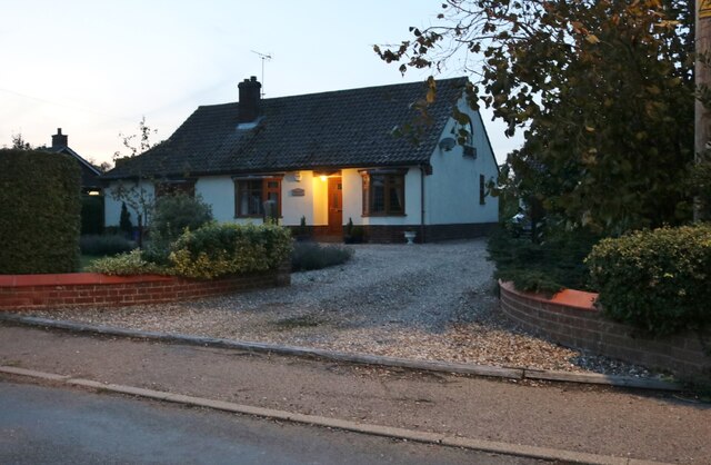
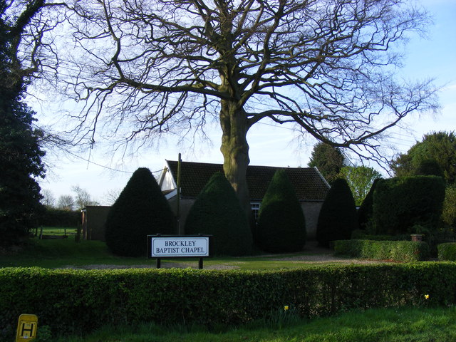
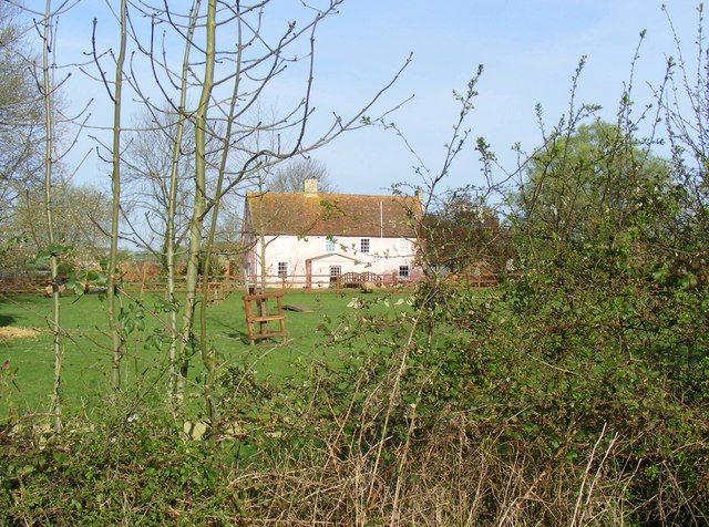
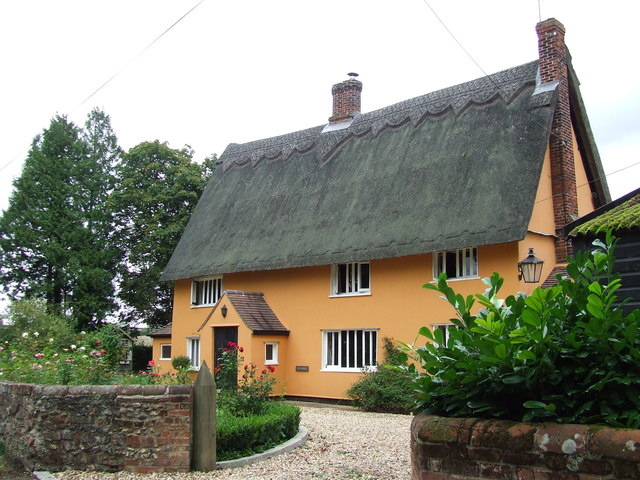
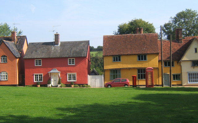
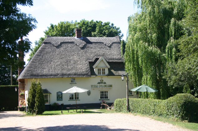
Brockley is surrounded by beautiful countryside, with rolling hills and fields, providing a scenic backdrop for residents and visitors alike. The village is predominantly residential, with a mix of charming cottages and modern houses. It also has a small number of local amenities, including a village hall, a post office, and a pub, which serves as a popular meeting place for locals.

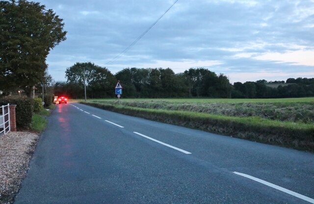
The village is well-connected to neighboring towns and cities through a comprehensive road network. The A140 road passes nearby, providing convenient access to Ipswich and Norwich. Public transportation options in Brockley are limited, with a few bus services running through the village, connecting it to nearby towns.

Brockley is known for its strong sense of community, with various social events and activities organized throughout the year. The village hosts an annual summer fair, which brings together residents and visitors for a day of festivities, including live music, food stalls, and traditional games.

Overall, Brockley offers a peaceful and idyllic lifestyle, with its beautiful surroundings and close-knit community. It is an ideal place for those seeking a tranquil retreat in the heart of the Suffolk countryside.

If you have any feedback on the listing, please let us know in the comments section below.
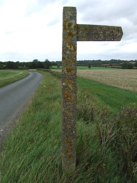
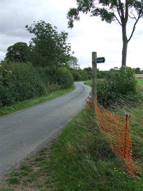
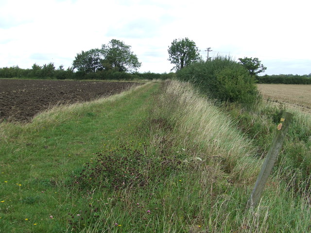
Brockley Images

Images are sourced within 2km of 52.159593/0.66818112 or Grid Reference TL8254. Thanks to Geograph Open Source API. All images are credited.

Brockley Road, Cross Green
Bungalow on Bury Road, Brockley
Hawks Lane, Pound Green From Bury Road, leading to Brockley Hall.
Hawks Lane, Pound Green
From Bury Road, leading to Brockley Hall.
Bury Road, Gulling Green
Chapel Lane to Manor Farm
Brockley Baptist Chapel
Brockley Village Hall
Farmhouse, Brockley Green.
St Andrew's, Brockley.
Heading to Brockley (Chapel Lane)
Dems at Castle Farm
Dems at Castle Farm
Concrete Footpath Sign Concrete footpath sign off Lawshall Road near to Hartest, Suffolk. This must be the only concrete footpath sign I have seen in Suffolk as they seem to use only wooden ones. They are a very common sight in the neighbouring county of Essex.
Concrete Footpath Sign
Concrete footpath sign off Lawshall Road near to Hartest, Suffolk. This must be the only concrete footpath sign I have seen in Suffolk as they seem to use only wooden ones. They are a very common sight in the neighbouring county of Essex.
Footpath Sign Lawshall Road and footpath sign near to Hartest, Suffolk.
Footpath Sign
Lawshall Road and footpath sign near to Hartest, Suffolk.
Footpath Footpath looking north near to Hartest, Suffolk.
Footpath
Footpath looking north near to Hartest, Suffolk.
Ploughing Ploughing near to Brockley, Suffolk.
Ploughing
Ploughing near to Brockley, Suffolk.
Ploughed Field Ploughed field and footpath near to Brockley, Suffolk.
Ploughed Field
Ploughed field and footpath near to Brockley, Suffolk.
Country Road Country road near to Hartest, Suffolk.
Country Road
Country road near to Hartest, Suffolk.
The Hatch Cottage called The Hatch Cross Green, Suffolk.
The Hatch
Cottage called The Hatch Cross Green, Suffolk.
Show me another place!

Brockley is located at Grid Ref: TL8254 (Lat: 52.159593, Lng: 0.66818112)

Administrative County: Suffolk

District: West Suffolk

Police Authority: Suffolk

What 3 Words

///glad.slung.otters. Near Glemsford, Suffolk

Nearby Locations

Brockley Brockley Green

Related Wikis

Brockley, Suffolk

Brockley (not to be confused with Brockley Green, 8 miles (13 km) southwest in Hundon parish) is a village and civil parish in the West Suffolk district...

Somerton, Suffolk

Somerton is a civil parish in the Babergh district of Suffolk in eastern England. Somerton is split into two smaller villages: Upper Somerton with a population...

Hartest

Hartest is a small village and civil parish in the Babergh district of the English county of Suffolk. It is located halfway between Bury St. Edmunds and...

Rede, Suffolk

Rede is a village and civil parish in the West Suffolk district of Suffolk in eastern England. Its location is situated South East of Chedburgh. In 1887...

Nearby Amenities

Located within 500m of 52.159593,0.66818112
Brockley
Is In: Suffolk, England, UK
Place: village
Source: gps survey
Wikidata: Q1866065
Lat/Long: 52.1595298/0.6702675
Bus Stop
Bus Shelter
Naptan AtcoCode: 390050754
Naptan Bearing: N
Naptan CommonName: Bus Shelter
Naptan Indicator: o/s
Naptan Landmark: Bus Shelter
Naptan NaptanCode: sufgjpjp
Naptan Street: Bury Road
Naptan Verified: no
Source: naptan_import
Lat/Long: 52.1599914/0.6682934
Bus Stop
Bus Shelter
Naptan AtcoCode: 390050755
Naptan Bearing: S
Naptan BusStopType: CUS
Naptan CommonName: Bus Shelter
Naptan Indicator: opp
Naptan Landmark: Bus Shelter
Naptan NaptanCode: sufgjpjt
Naptan Street: Bury Road
Naptan Verified: no
Source: naptan_import
Lat/Long: 52.1599185/0.6683329
Bus Stop
Bury Road Turn
Naptan AtcoCode: 390051059
Naptan Bearing: W
Naptan BusStopType: CUS
Naptan CommonName: Bury Road Turn
Naptan Indicator: opp
Naptan Landmark: Bury Road Turn
Naptan NaptanCode: sufjgtgt
Naptan Street: Mill Road
Naptan Verified: no
Source: naptan_import
Lat/Long: 52.1596574/0.6679517
Bus Stop
Bury Road Turn
Naptan AtcoCode: 390051060
Naptan Bearing: E
Naptan BusStopType: CUS
Naptan CommonName: Bury Road Turn
Naptan Indicator: adj
Naptan Landmark: Bury Road Turn
Naptan NaptanCode: sufjgtgw
Naptan Street: Mill Road
Naptan Verified: no
Source: naptan_import
Lat/Long: 52.1597479/0.6679831
Public Bookcase
Booth: K6
Covered: booth
Disused Amenity: telephone
Man Made: telephone_box
Public Bookcase Type: phone_box
Lat/Long: 52.1602248/0.6683719
Entrance: yes
Lat/Long: 52.159662/0.6666675
Defibrillator
Access: yes
Defibrillator Location: outside Brockley Village Hall
Emergency: defibrillator
Indoor: no
Lat/Long: 52.1596553/0.6666897
Recycling
Recycling Type: container
Lat/Long: 52.1596739/0.6664929
Post Box
Post Box Type: lamp
Lat/Long: 52.1598783/0.6669399
The data included in this document is from www.openstreetmap.org. The data is made available under ODbL.

Have you been to Brockley?

Leave your review of Brockley below (or comments, questions and feedback).