Brightonwater
Settlement in Cornwall
England
Brightonwater
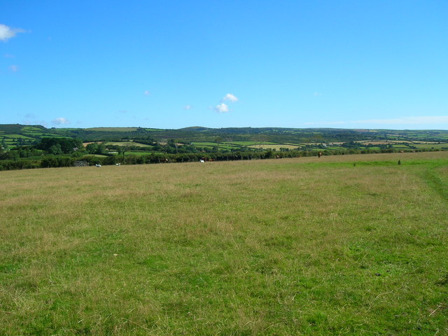
Brightonwater is a small coastal village located in the county of Cornwall, in southwestern England. Situated on the shores of the English Channel, it offers stunning views of the sea and is surrounded by picturesque countryside. The village is part of the larger parish of St. Michael's Bay, which encompasses several other small settlements.
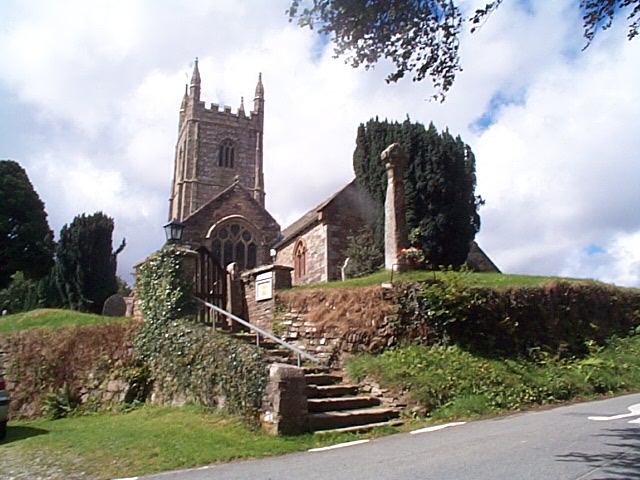
Despite its size, Brightonwater has a rich history, dating back to medieval times when it served as a thriving fishing port. Today, remnants of its past can still be seen in the traditional architecture and narrow, winding streets that characterize the village. The local economy has shifted towards tourism, with visitors attracted by its natural beauty and tranquility.
The village is known for its beautiful sandy beach, which stretches for miles and provides ample opportunities for sunbathing, swimming, and watersports. The clear blue waters are also popular among divers and snorkelers, who can explore the diverse marine life in the area.
In terms of amenities, Brightonwater offers a range of facilities to cater to both residents and tourists. There are several charming bed and breakfasts, guesthouses, and self-catering accommodations available for those looking to stay in the village. Additionally, visitors can find a variety of cafes, pubs, and restaurants serving local cuisine, as well as a few shops selling unique crafts and souvenirs.
With its idyllic coastal setting, rich history, and range of recreational activities, Brightonwater is a delightful destination for those seeking a peaceful getaway in the beautiful county of Cornwall.
If you have any feedback on the listing, please let us know in the comments section below.
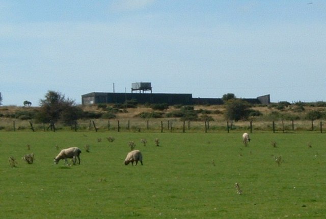
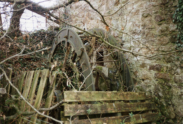
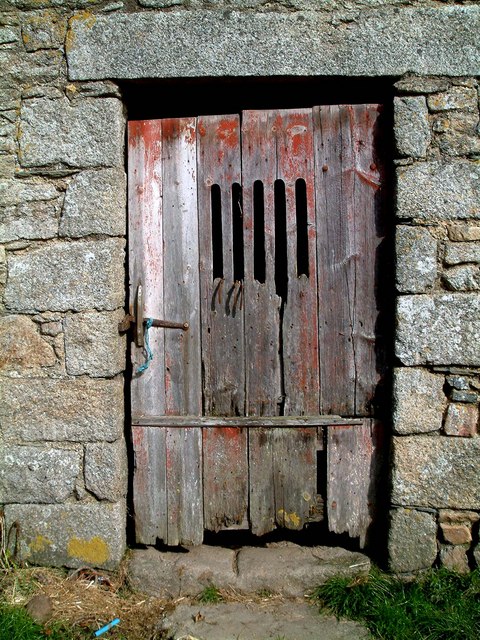
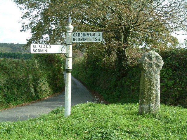
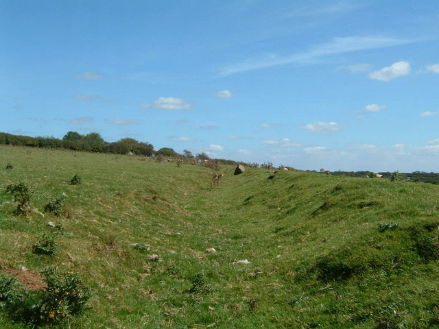
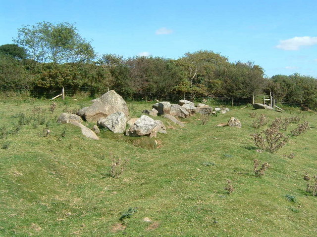
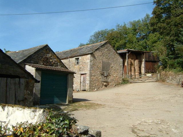
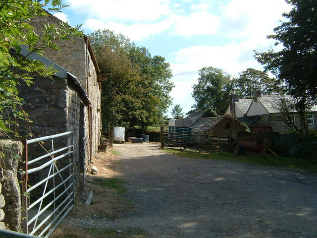
Brightonwater Images
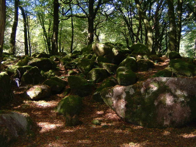
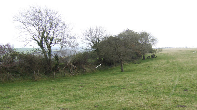
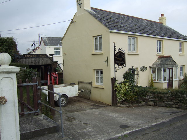
Images are sourced within 2km of 50.483343/-4.6348948 or Grid Reference SX1368. Thanks to Geograph Open Source API. All images are credited.


Brightonwater is located at Grid Ref: SX1368 (Lat: 50.483343, Lng: -4.6348948)
Unitary Authority: Cornwall
Police Authority: Devon and Cornwall
What 3 Words
///wells.backpacks.nicer. Near Helland, Cornwall
Nearby Locations
Related Wikis

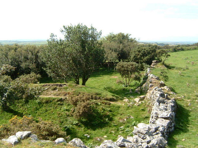
Old Cardinham Castle
Old Cardinham Castle is a hamlet in Cornwall, England, UK. It is in the parish of Cardinham very close to the site of the Norman Cardinham Castle, caput...

Cardinham
Cardinham (Cornish: Kardhinan) (the spelling 'Cardynham' is almost obsolete) is a civil parish and a village in mid Cornwall, England. The village is approximately...

Mount, Cornwall
Mount is a village in the parish of Warleggan in east Cornwall, England. It lies south-west of Warleggan village. == References ==

Cardinham Grange
Cardinham Grange was a monastic grange in Cardinham, Cornwall, UK. Lady Vale Chapel was given soon after the Norman Conquest by Richard Fitz Turold to...
Nearby Amenities
Located within 500m of 50.483343,-4.6348948Have you been to Brightonwater?
Leave your review of Brightonwater below (or comments, questions and feedback).