Brighouse Green

Settlement in Lancashire West Lancashire

England

Brighouse Green

Private Fishing Pond at Lathom Laboratories
Private Fishing Pond at Lathom Laboratories Credit: Gary Rogers

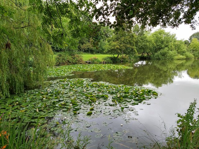
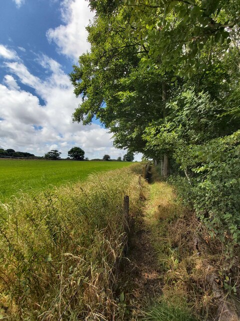
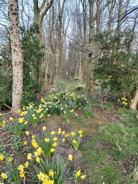
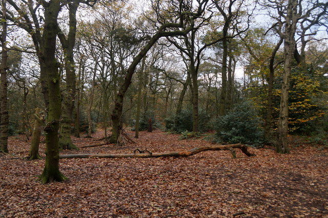
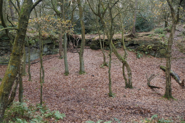
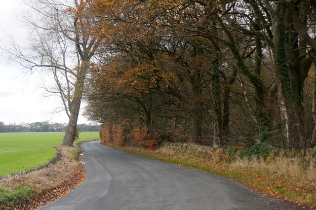
Brighouse Green is a small village located in Lancashire, England. It is situated near the town of Burnley and is known for its picturesque countryside and peaceful atmosphere. The village is surrounded by rolling hills and lush green fields, making it an ideal destination for nature lovers and outdoor enthusiasts.

Brighouse Green has a small population, with a close-knit community that is friendly and welcoming to visitors. The village is home to a few local shops, a pub, and a primary school, providing residents with all the essential amenities they need. The surrounding area offers plenty of opportunities for outdoor activities such as hiking, cycling, and birdwatching.

The village is well-connected by road, with easy access to nearby towns and cities such as Burnley, Blackburn, and Manchester. Brighouse Green is also close to the M65 motorway, making it a convenient location for commuters.

Overall, Brighouse Green is a charming and peaceful village that offers a tranquil escape from the hustle and bustle of city life. Its beautiful surroundings and friendly community make it a delightful place to visit or call home.

If you have any feedback on the listing, please let us know in the comments section below.

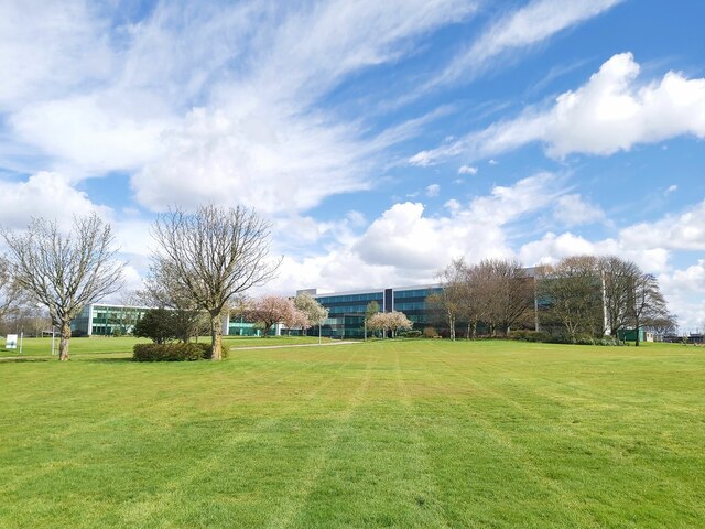
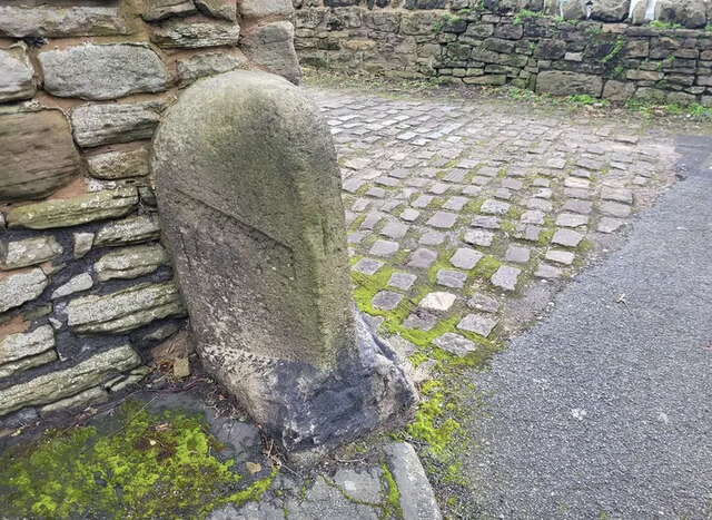
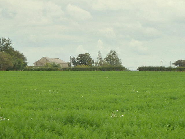
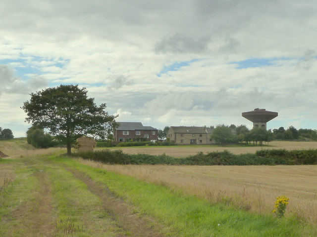
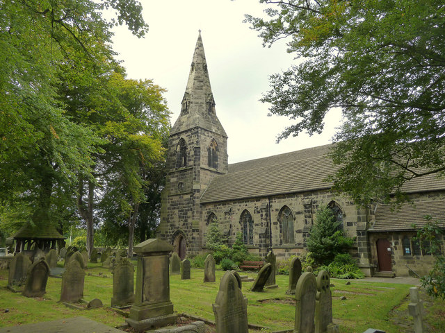
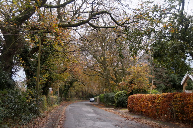
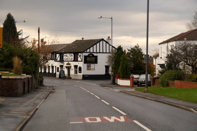
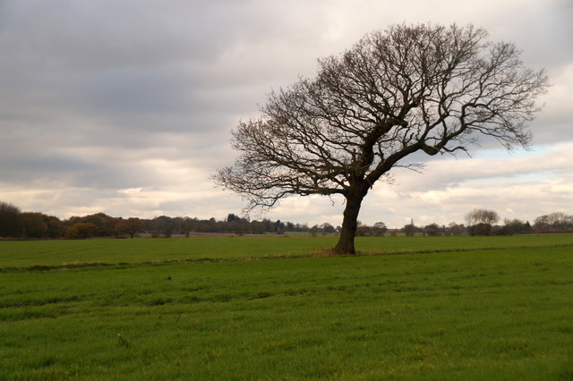
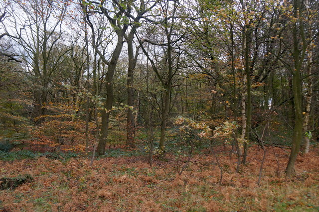
Brighouse Green Images

Images are sourced within 2km of 53.558859/-2.8352944 or Grid Reference SD4407. Thanks to Geograph Open Source API. All images are credited.

Private Fishing Pond at Lathom Laboratories
Private path in the grounds of Lathom Laboratories
NSG Technical Centre, Lathom, Ormskirk
Private path in the grounds of Lathom Laboratories
Old Boundary Marker beside Scarth Hill Lane Parish Boundary Marker on the northeast side of the junction of Scarth Hill Lane and a cobbled lane. The square base of the stone is visible. The inscriptions have been defaced but are expected to have been LATHOM and ORMSKIRK. Both parishes were abolished in 1974 and the stone is now entirely on South Lathom parish, created 2007.

Milestone Society National ID: LA_SLATH01pb
Old Boundary Marker beside Scarth Hill Lane
Parish Boundary Marker on the northeast side of the junction of Scarth Hill Lane and a cobbled lane. The square base of the stone is visible. The inscriptions have been defaced but are expected to have been LATHOM and ORMSKIRK. Both parishes were abolished in 1974 and the stone is now entirely on South Lathom parish, created 2007. Milestone Society National ID: LA_SLATH01pb
Carrot field near Foster's Farm From footpath between Whiteley's Lane and Ormskirk Road near Scarth Hill
Carrot field near Foster's Farm
From footpath between Whiteley's Lane and Ormskirk Road near Scarth Hill
Footpath between Whiteleys Lane and Ormskirk Road Footpath between fields between Whiteleys Lane and Ormskirk Road with the water tower at Scarth Hill
Footpath between Whiteleys Lane and Ormskirk Road
Footpath between fields between Whiteleys Lane and Ormskirk Road with the water tower at Scarth Hill
St James' Church, Vicarage Lane, Westhead
Manufacturer's Mark on Iron structure at rear of St James church Saracen Foundry
Macfarlanes Patent
Glasgow
Manufacturer's Mark on Iron structure at rear of St James church
Saracen Foundry Macfarlanes Patent Glasgow
Water Tower on Scarth Hill
Ruff Wood, Ormskirk
Ruff Wood, Ormskirk
The old quarry in Ruff Wood, Ormskirk
Vicarage Lane, Ormskirk
The Halton Castle, Westhead, Ormskirk
Tree in a field, Castle Lane, Westhead
New Park Wood, Castle Lane, Westhead
Castle Lane, Westhead Passing New Park Wood.
Castle Lane, Westhead
Passing New Park Wood.
Show me another place!

Brighouse Green is located at Grid Ref: SD4407 (Lat: 53.558859, Lng: -2.8352944)

Administrative County: Lancashire

District: West Lancashire

Police Authority: Lancashire

What 3 Words

///firebird.ripen.unpainted. Near Ormskirk, Lancashire

Nearby Locations

Brighouse Green

Related Wikis

Lathom South

Lathom South is a civil parish in the West Lancashire district of Lancashire, England, situated near the towns of Ormskirk and Skelmersdale. The parish...

West Lancashire

West Lancashire is a local government district with borough status in Lancashire, England. The council is based in Ormskirk, and the largest town is Skelmersdale...

Westhead

Westhead is a village in the West Lancashire district of Lancashire, England. As of 2014, the estimated population was 886. == History == Westhead was...

West Lancashire (UK Parliament constituency)

West Lancashire is a county constituency represented in the House of Commons of the UK Parliament. Following the resignation of Labour MP Rosie Cooper...

Nearby Amenities

Located within 500m of 53.558859,-2.8352944
Power: tower
Lat/Long: 53.5559121/-2.8316259
Post Box
Collection Times: Mo-Fr 09:00; Sa 07:00
Operator: Royal Mail
Operator Wikidata: Q638098
Post Box Type: lamp
Ref: L39 74
Royal Cypher: EIIR
Royal Cypher Wikidata: Q33102113
Lat/Long: 53.558197/-2.8349931
Cafe
Warbreck Garden Centre Cafe
Addr City: Lancashire
Addr Postcode: L40 6JW
Addr Street: Lyelake Lane
Fhrs Id: 179432
Operator: Warbreck Garden Centre
Outdoor Seating: yes
Wheelchair: yes
Lat/Long: 53.5556318/-2.8331208
The data included in this document is from www.openstreetmap.org. The data is made available under ODbL.

Have you been to Brighouse Green?

Leave your review of Brighouse Green below (or comments, questions and feedback).