Bridgend
Settlement in Ross-shire
Scotland
Bridgend

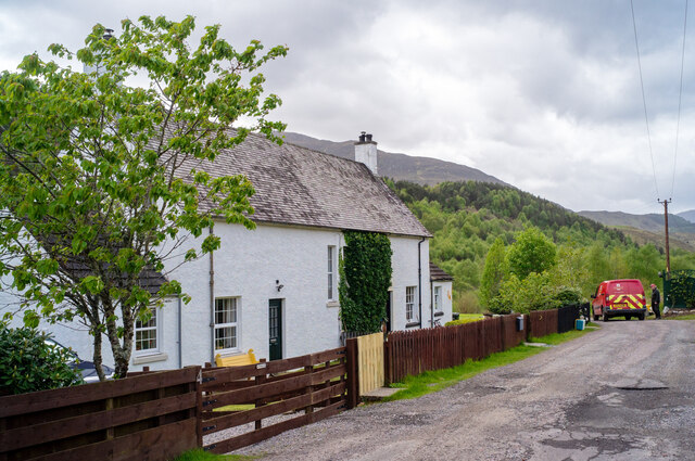
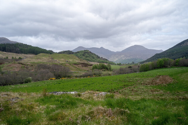
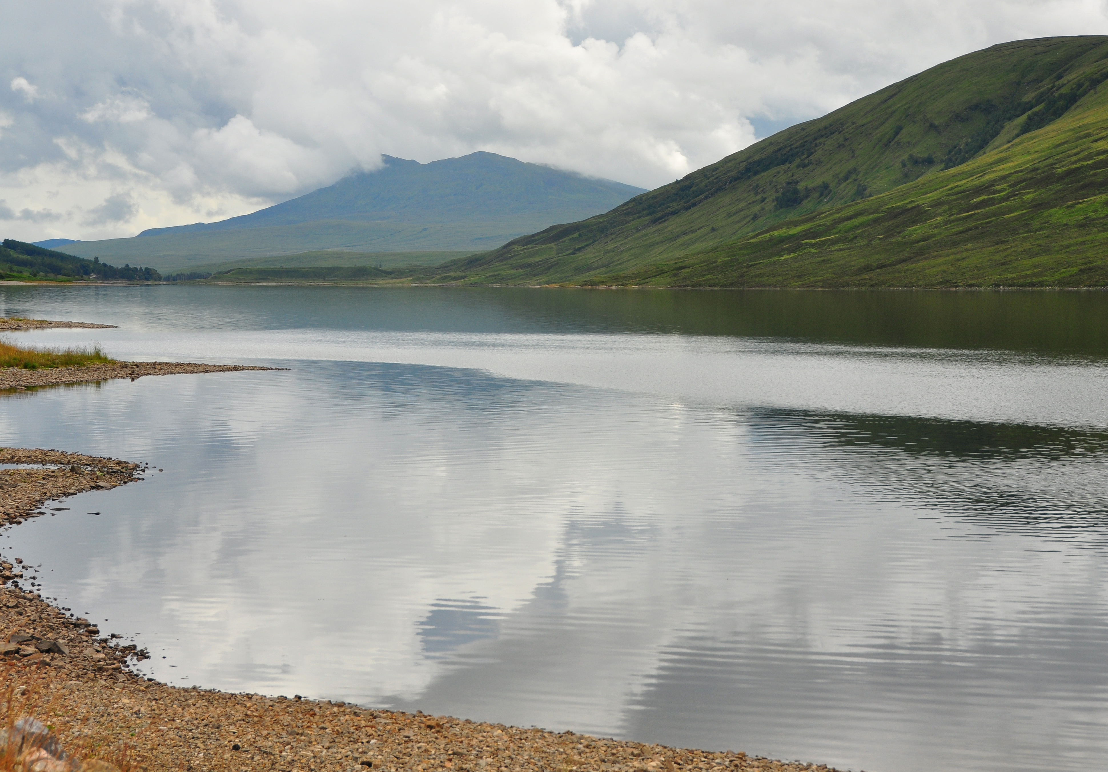
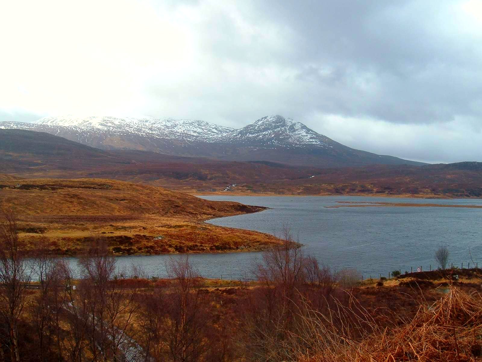
Bridgend is a small village located in the county of Ross-shire, in the Highlands of Scotland. It is situated on the northern banks of the River Conon, just a few miles north of the town of Dingwall. The village is surrounded by picturesque countryside, with rolling hills and stunning views of the Scottish Highlands.
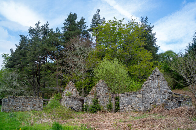
Bridgend is a historic village, with evidence of human habitation dating back thousands of years. The area is rich in archaeological sites, including standing stones and burial cairns, which provide a glimpse into the region's ancient past. The village itself has retained much of its traditional charm, with stone-built houses and narrow winding streets.
Despite its small size, Bridgend is well-served by amenities. The village has a primary school, a church, and a community center that hosts various events and activities throughout the year. There is also a local pub, where residents and visitors can enjoy a drink and socialize.
The surrounding area offers plenty of opportunities for outdoor activities. The nearby River Conon is popular for fishing, and there are several walking trails that take you through the beautiful countryside. For those seeking more adventurous pursuits, the Highlands offer opportunities for hiking, mountain biking, and even skiing during the winter months.
Overall, Bridgend is a peaceful and scenic village that offers a taste of rural Scottish life. Its location in the heart of the Highlands makes it an ideal base for exploring the surrounding natural beauty and enjoying outdoor activities.
If you have any feedback on the listing, please let us know in the comments section below.
Bridgend Images
Images are sourced within 2km of 57.553827/-4.8052181 or Grid Reference NH3254. Thanks to Geograph Open Source API. All images are credited.


Bridgend is located at Grid Ref: NH3254 (Lat: 57.553827, Lng: -4.8052181)
Unitary Authority: Highland
Police Authority: Highlands and Islands
What 3 Words
///ferrets.declines.cornering. Near Strathpeffer, Highland
Nearby Locations
Related Wikis
Sgurr a' Mhuilinn
Sgurr a' Mhuilinn (879 m) is a mountain in Highland, Scotland. It lies in a remote location in the Northwest Highlands, approximately 40 miles (64 km)...

Grudie
Grudie (Grùididh in Scottish Gaelic) is a village, situated between Loch a' Chuilinn and Loch Luichart with the River Bran flowing past Grudie east to...
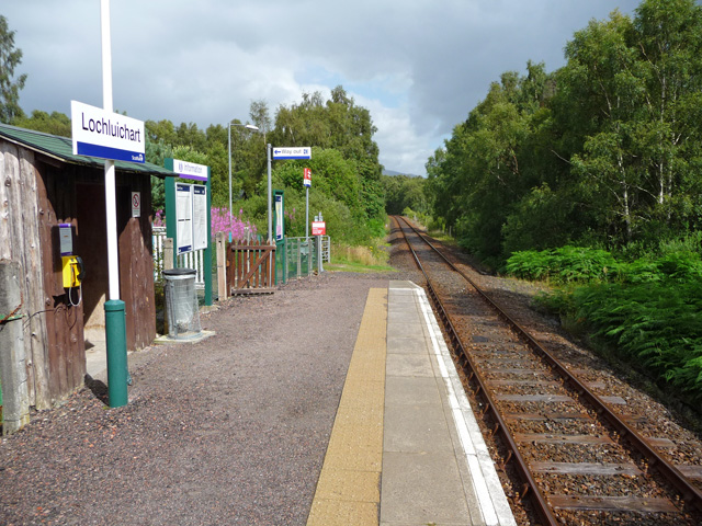
Lochluichart railway station
Lochluichart railway station is a railway station on the Kyle of Lochalsh Line, serving the village of Lochluichart in the north of Scotland. The station...

Inverchoran
Inverchoran (Scottish Gaelic: Inbhir Chòmhrainn) is a small remote hamlet, situated in the upper reaches of Strathconon, in Ross-shire, in the Highland...

Achanalt railway station
Achanalt railway station is a geographically remote railway station on the Kyle of Lochalsh Line, serving the village of Achanalt in the north of Scotland...
Achanalt
Achanalt (Gaelic: Achadh nan Allt) is a railway halt in Strath Bran, Ross and Cromarty, in the Scottish council area of Highland. It is served by a railway...

A832 road
The A832 is a road in the Scottish Highlands, linking Cromarty, on the east coast, to Gairloch on the west coast, and beyond Gairloch to Braemore Junction...

Garve railway station
Garve railway station is a railway station on the Kyle of Lochalsh Line, serving the village of Garve in the north of Scotland. Garve is located at the...
Nearby Amenities
Located within 500m of 57.553827,-4.8052181Have you been to Bridgend?
Leave your review of Bridgend below (or comments, questions and feedback).