Bridge Castle

Settlement in West Lothian

Scotland

Bridge Castle

Grazing Land Grassy fields beside the minor road north of Armadale.
Grazing Land Credit: Anne Burgess

Bridge Castle is a historic landmark located in West Lothian, Scotland. Situated on the banks of the River Almond, it is an impressive structure with a rich history. The castle is believed to have been built in the 15th century, although some parts may date back even earlier.

The castle was originally constructed as a defensive fortress, strategically positioned to guard the nearby bridge crossing. Its robust architecture features thick stone walls and a tall tower, showcasing the defensive capabilities that were crucial during its time. The castle's location also provided a commanding view of the surrounding landscape, further enhancing its defensive position.

Over the years, Bridge Castle has witnessed various events and changes. It served as a residence for the influential Hamilton family in the 16th century and was later converted into a mansion in the 18th century. Today, it stands as a testament to the region's architectural heritage and offers a glimpse into the past.

The castle's grounds are well-maintained and feature a beautiful courtyard, which is occasionally used for events and gatherings. The surrounding landscape is picturesque, with lush greenery, the flowing River Almond, and the charming bridge that gives the castle its name.

Bridge Castle is a popular tourist attraction, drawing visitors who are intrigued by its historical significance and architectural beauty. Guided tours are available, providing an opportunity to explore the castle's interior and learn about its fascinating past.

In summary, Bridge Castle stands as a remarkable landmark in West Lothian, offering a glimpse into Scotland's history and architectural prowess. Its strategic location, impressive structure, and stunning surroundings make it an intriguing destination for history enthusiasts and visitors alike.

If you have any feedback on the listing, please let us know in the comments section below.

Bridge Castle Images

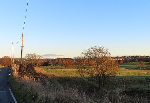
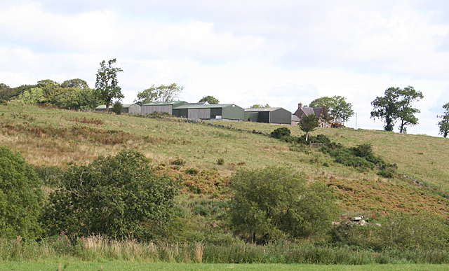
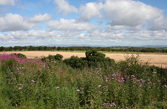
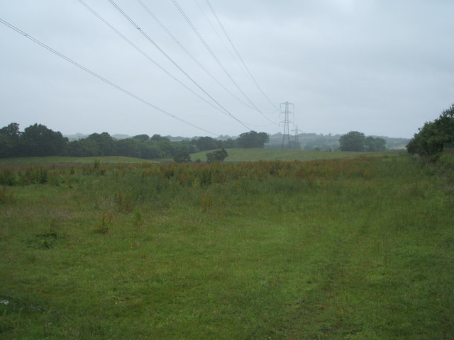
Images are sourced within 2km of 55.921965/-3.6982278 or Grid Reference NS9371. Thanks to Geograph Open Source API. All images are credited.

Grazing Land Grassy fields beside the minor road north of Armadale.
Grazing Land
Grassy fields beside the minor road north of Armadale.
Nether Hillhouse The farm buildings are at the top of the slope above the Mad Burn.
Nether Hillhouse
The farm buildings are at the top of the slope above the Mad Burn.
Along the Barbauchlaw Burn Across the road from Armadale sewage works.
Along the Barbauchlaw Burn
Across the road from Armadale sewage works.
Road to Birkenshaw Mill On the Barbauchlaw Burn below Armadale.
Road to Birkenshaw Mill
On the Barbauchlaw Burn below Armadale.
Bing, Colinshiel Coal Works There were three pits here, mining coal and ironstone.
Bing, Colinshiel Coal Works
There were three pits here, mining coal and ironstone.
Site of Colinshiel Coal Works There were three pits here, mining coal and ironstone.
Site of Colinshiel Coal Works
There were three pits here, mining coal and ironstone.
Armadale Water Treatment Works Filter bed [one of four] and tanks.
Armadale Water Treatment Works
Filter bed [one of four] and tanks.
Armadale Water Treatment Works Solar panels adjacent to the filter beds.
Armadale Water Treatment Works
Solar panels adjacent to the filter beds.
Gas governor at Armadale Scotland Gas Networks - Armadale  Regional TRS 163308.
Gas governor at Armadale
Scotland Gas Networks - Armadale Regional TRS 163308.
Track down Whitlockbrae Leading to another gas installation north of <a href="https://www.geograph.org.uk/photo/6398447">NS9469 : Gas governor at Armadale</a>.
Track down Whitlockbrae
Leading to another gas installation north of NS9469 : Gas governor at Armadale.
Pond in a field And a high pressure gas pipeline marker on the B8084, across the road from <a href="https://www.geograph.org.uk/photo/6398447">NS9469 : Gas governor at Armadale</a>.
Pond in a field
And a high pressure gas pipeline marker on the B8084, across the road from NS9469 : Gas governor at Armadale.
Flat-Topped Mounds on former Golf Course Taken from one looking at another. There is no reference to these on any maps and there are three in total - there is one behind camera very close to the road. They look like small versions of covered reservoirs, but I have no idea what they are. I only investigated the two in the picture and the distant one had no steps leading up to it.
I know it was a golf course due to entering through the grounds of an old car park where some fairly newish signs were still in place. I suppose some trees may have been felled since the course was getting used but I was struck by how open all the fields (that have now been put back to grazing land) were. I don't play golf but know that courses use trees to cut the wind down a bit and take some variables out of the game for the enthusiastic amateur. Maybe this, and the poor drainage, contributed to the course's demise.
The open shed to the left of the mound had a metal container attached to its inside which looked like it was going to be an ashtray. However it contained two decent sized stiff brush-heads - surely golfing-related in some way, but not sure how!
Flat-Topped Mounds on former Golf Course
Taken from one looking at another. There is no reference to these on any maps and there are three in total - there is one behind camera very close to the road. They look like small versions of covered reservoirs, but I have no idea what they are. I only investigated the two in the picture and the distant one had no steps leading up to it. I know it was a golf course due to entering through the grounds of an old car park where some fairly newish signs were still in place. I suppose some trees may have been felled since the course was getting used but I was struck by how open all the fields (that have now been put back to grazing land) were. I don't play golf but know that courses use trees to cut the wind down a bit and take some variables out of the game for the enthusiastic amateur. Maybe this, and the poor drainage, contributed to the course's demise. The open shed to the left of the mound had a metal container attached to its inside which looked like it was going to be an ashtray. However it contained two decent sized stiff brush-heads - surely golfing-related in some way, but not sure how!
Over the fields to Birkenshaw Armadale in the distance
Over the fields to Birkenshaw
Armadale in the distance
Barbauchlaw Burn Downstream from Armadale sewage Works
Barbauchlaw Burn
Downstream from Armadale sewage Works
Small stream: Birkenshaw Identified on map as Mad Burn
Small stream: Birkenshaw
Identified on map as Mad Burn
Rough grazing near Armadale Between a minor road and the B8084
Rough grazing near Armadale
Between a minor road and the B8084
Fields near Over Hillhouse Pale stubble contrasts with the green and purple of the thistles and fireweed at the roadside.
Fields near Over Hillhouse
Pale stubble contrasts with the green and purple of the thistles and fireweed at the roadside.
Grazing and power lines, Westfield Beside the fish food factory.
Grazing and power lines, Westfield
Beside the fish food factory.
Show me another place!

Bridge Castle is located at Grid Ref: NS9371 (Lat: 55.921965, Lng: -3.6982278)

Unitary Authority: West Lothian

Police Authority: The Lothians and Scottish Borders

What 3 Words

///proud.scar.daredevil. Near Bathgate, West Lothian

Nearby Locations

Westfield Bridge Castle

Related Wikis

Bridge Castle

Bridge Castle is an L-plan castle, dating from the 16th century, standing on a rocky site 3 miles (4.8 km) north west of Bathgate in West Lothian, Scotland...

Westfield, West Lothian

Westfield (Scottish Gaelic: an t-Achadh Siar) is a small village of around 180 houses located in the parish of Torphichen in West Lothian, Scotland....

A801 road

The A801 is a road in Scotland which runs from east of Polmont to the A705 near Whitburn that heads towards Livingston in the other direction. The A801...

Volunteer Park, Armadale

Volunteer Park is a football ground in Armadale, West Lothian, Scotland. It is the home ground of Armadale Thistle, and was used by several of the town...

Nearby Amenities

Located within 500m of 55.921965,-3.6982278
Power: tower
Lat/Long: 55.9213406/-3.7021418
Bridgehouse
Place: hamlet
Lat/Long: 55.9206317/-3.7037805
Public Bookcase
Defibrillator
Booth: K6
Defibrillator Location: in red phone box (now book exchange) by playground in Bridgehouse
Disused Amenity: telephone
Emergency: defibrillator
Man Made: telephone_box
Public Bookcase Type: phone_box
Lat/Long: 55.9202113/-3.7045101
Post Box
Collection Times: Mo-Fr 09:00; Sa 07:00
Operator: Royal Mail
Post Box Type: lamp
Ref: EH48 25D
Royal Cypher: scottish_crown
Lat/Long: 55.9202292/-3.7044366
Bearslear
Place: isolated_dwelling
Source Name: OS_OpenData_StreetView
Lat/Long: 55.9181398/-3.6943111
Power: pole
Lat/Long: 55.9222452/-3.6904272
Power: pole
Lat/Long: 55.9222731/-3.6908515
Power: pole
Lat/Long: 55.9223263/-3.6935326
Power: pole
Lat/Long: 55.922648/-3.6938546
Power: pole
Lat/Long: 55.9228074/-3.6942091
Power: pole
Lat/Long: 55.9254328/-3.7032381
Power: pole
Lat/Long: 55.92572/-3.7025465
Power: pole
Lat/Long: 55.9181526/-3.7001342
Power: pole
Lat/Long: 55.9186978/-3.6996467
Power: pole
Lat/Long: 55.9192476/-3.6991592
Power: pole
Lat/Long: 55.9198815/-3.698603
Power: pole
Lat/Long: 55.920492/-3.6980551
Power: pole
Lat/Long: 55.9212192/-3.6974094
Power: pole
Lat/Long: 55.9216336/-3.6983885
Power: pole
Lat/Long: 55.9213779/-3.6985926
Power: pole
Lat/Long: 55.921727/-3.7061775
Power: pole
Lat/Long: 55.9218612/-3.7051713
Power: pole
Lat/Long: 55.9219954/-3.7040443
Power: pole
Lat/Long: 55.9221425/-3.7028777
Power: pole
Lat/Long: 55.9222837/-3.7018591
Power: pole
Lat/Long: 55.9219768/-3.7006737
Power: pole
Lat/Long: 55.9210569/-3.6962865
Power: pole
Lat/Long: 55.9209064/-3.6952241
Power: pole
Lat/Long: 55.9207476/-3.6941387
Power: pole
Lat/Long: 55.9206904/-3.6932388
Power: pole
Lat/Long: 55.920625/-3.6922389
Power: pole
Lat/Long: 55.9203998/-3.6924764
Power: pole
Lat/Long: 55.9211702/-3.6916806
Power: pole
Lat/Long: 55.9217398/-3.6910535
Power: pole
Lat/Long: 55.9230004/-3.7008758
Power: pole
Lat/Long: 55.9194776/-3.7044401
Power: pole
Lat/Long: 55.922886/-3.7025819
Generator Method: photovoltaic
Generator Output Electricity: yes
Generator Source: solar
Generator Type: solar_photovoltaic_panel
Location: roof
Power: generator
Lat/Long: 55.9231216/-3.7035466
Generator Method: photovoltaic
Generator Output Electricity: yes
Generator Source: solar
Generator Type: solar_photovoltaic_panel
Location: roof
Power: generator
Lat/Long: 55.9224805/-3.6924511
Fixme: path continues
Lat/Long: 55.9187756/-3.7006652
Fixme: path continues
Lat/Long: 55.9186253/-3.7008476
The data included in this document is from www.openstreetmap.org. The data is made available under ODbL.

Have you been to Bridge Castle?

Leave your review of Bridge Castle below (or comments, questions and feedback).