Breabost

Settlement in Inverness-shire

Scotland

Breabost

Roofless Ruin at Lyndale, Isle of Skye At a sheltered location on the north coast of Skye, Scotland.
Roofless Ruin at Lyndale, Isle of Skye Credit: Andrew Tryon

Breabost is a small village located in the Inverness-shire region of Scotland. Situated on the northwest coast of the Isle of Skye, it is surrounded by stunning natural beauty and offers a tranquil and picturesque setting.

The village is characterized by its traditional Scottish charm, with quaint cottages and stone houses dotting the landscape. Breabost is known for its close-knit community and friendly locals, who are proud of their Gaelic heritage and culture.

Breabost is a popular destination for outdoor enthusiasts, as it is surrounded by breathtaking scenery. The village is nestled between the rolling hills of the Cuillin Mountains and the crystal-clear waters of Loch Snizort. This makes it an ideal base for hiking, mountain biking, fishing, and wildlife spotting.

One of the main attractions in Breabost is the Fairy Glen, a magical landscape featuring miniature hills, winding paths, and mystical ponds. Visitors can wander through this enchanting terrain, taking in the mesmerizing views and exploring the hidden nooks and crannies.

In terms of amenities, Breabost has limited facilities. However, nearby towns such as Portree and Dunvegan offer a wider range of services, including shops, restaurants, and accommodations.

Breabost is an idyllic Scottish village that offers visitors a taste of the Highlands' natural beauty and traditional way of life. Whether it's exploring the stunning landscapes or immersing oneself in the local culture, Breabost is a destination that leaves a lasting impression.

If you have any feedback on the listing, please let us know in the comments section below.
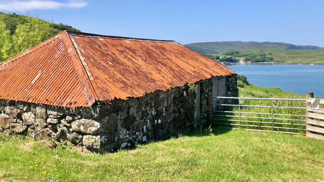
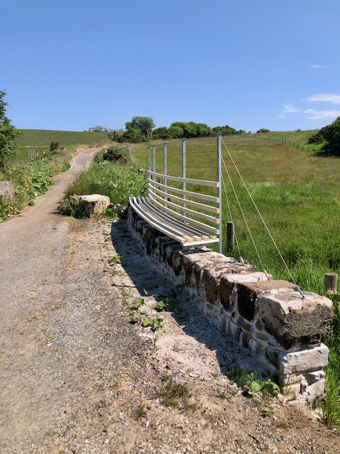
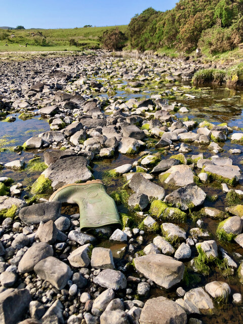
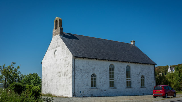
Breabost Images

Images are sourced within 2km of 57.497152/-6.4037685 or Grid Reference NG3653. Thanks to Geograph Open Source API. All images are credited.
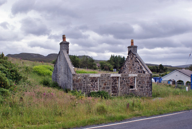
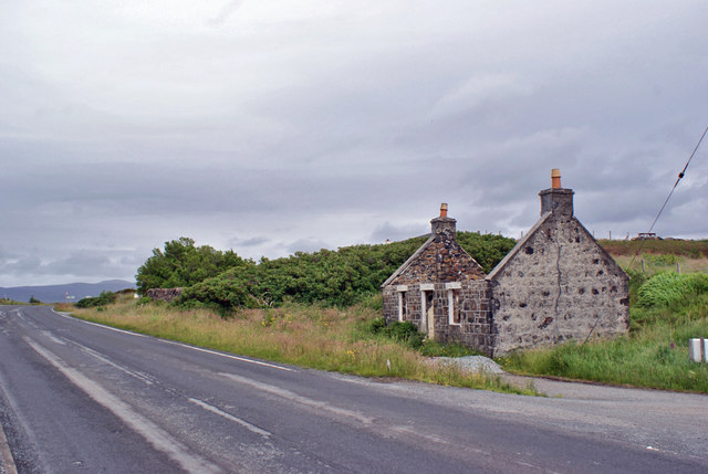
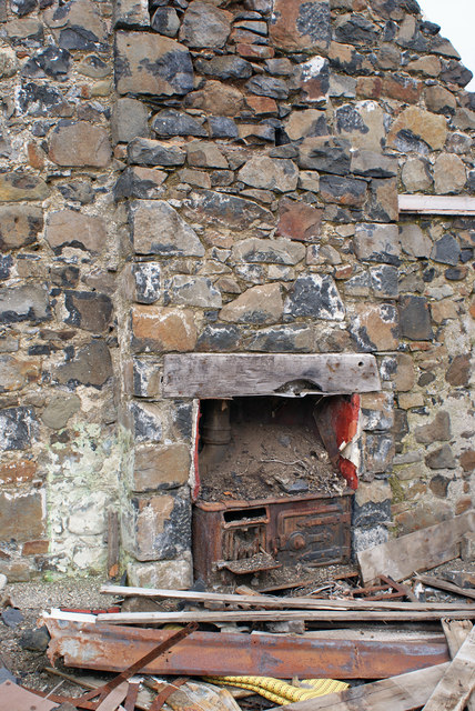
Roofless Ruin at Lyndale, Isle of Skye At a sheltered location on the north coast of Skye, Scotland.
Roofless Ruin at Lyndale, Isle of Skye
At a sheltered location on the north coast of Skye, Scotland.
Suledale Looking north from the rather muddy end of the public road.
Suledale
Looking north from the rather muddy end of the public road.
Suledale Looking south down the township road.
Suledale
Looking south down the township road.
Road to Suledale This minor dead-end road serves the small township of Suledale.
The water is the Allt an Lòin Ruaidh.
Road to Suledale
This minor dead-end road serves the small township of Suledale. The water is the Allt an Lòin Ruaidh.
A charming rust-roofed barn near Kildonan, with Loch Greshornish in the distance
This new seat on the bridge parapet is a brilliant design idea! Lovely view over the Braebost Burn on the old road turned cycle/walkway.
This new seat on the bridge parapet is a brilliant design idea!
Lovely view over the Braebost Burn on the old road turned cycle/walkway.
A sluggish Breabost Burn, right at that magnificent Spring high tide mark, and ... a Wellington boot!
Camas Mòr—A roofless ruin and an exclusive 'Boathouse' retreat For more info. on the ruins see ‘Skye, Lyndale House | Canmore’. 2023. Canmore.org.uk <<span class="nowrap"><a title="https://canmore.org.uk/site/114718/skye-lyndale-house" rel="nofollow ugc noopener" href="https://canmore.org.uk/site/114718/skye-lyndale-house">Link</a><img style="margin-left:2px;" alt="External link" title="External link - shift click to open in new window" src="https://s1.geograph.org.uk/img/external.png" width="10" height="10"/></span> > [accessed 21 July 2023]
Camas Mòr—A roofless ruin and an exclusive 'Boathouse' retreat
For more info. on the ruins see ‘Skye, Lyndale House | Canmore’. 2023. Canmore.org.uk <LinkExternal link > [accessed 21 July 2023]
Ewes & lambs seeking solace in gorse shade
A850 near Lyndale, Isle of Skye
A850 near Tayinloan Lodge
Arnisort Kirk
Arnisort Kirk
Derelict cottage in Flashader Until recently, this long-uninhabited roadside cottage was roofed and had windows and door. When builders turned up, I had thought that restoration was underway, but it now looks like the cottage is to be left derelict.
Other views: &lt;a href=&quot;https://www.geograph.org.uk/photo/6199938&quot;&gt;NG3553 : Derelict cottage, Flashader&lt;/a&gt;, &lt;a href=&quot;https://www.geograph.org.uk/photo/6199944&quot;&gt;NG3553 : Cooking range in derelict cottage&lt;/a&gt;.
Derelict cottage in Flashader
Until recently, this long-uninhabited roadside cottage was roofed and had windows and door. When builders turned up, I had thought that restoration was underway, but it now looks like the cottage is to be left derelict. Other views: NG3553 : Derelict cottage, Flashader, NG3553 : Cooking range in derelict cottage.
Derelict cottage, Flashader Another view of the small and now roofless cottage in Flashader.
The road is the A850.
See also: &lt;a href=&quot;https://www.geograph.org.uk/photo/6199935&quot;&gt;NG3553 : Derelict cottage in Flashader&lt;/a&gt; and &lt;a href=&quot;https://www.geograph.org.uk/photo/6199944&quot;&gt;NG3553 : Cooking range in derelict cottage&lt;/a&gt;.
Derelict cottage, Flashader
Another view of the small and now roofless cottage in Flashader. The road is the A850. See also: NG3553 : Derelict cottage in Flashader and NG3553 : Cooking range in derelict cottage.
Cooking range in derelict cottage Detail of the interior of a derelict cottage in Flashader (see also &lt;a href=&quot;https://www.geograph.org.uk/photo/6199935&quot;&gt;NG3553 : Derelict cottage in Flashader&lt;/a&gt;). 
The tiny cottage had two fireplaces - this one housing a cast iron range.
Cooking range in derelict cottage
Detail of the interior of a derelict cottage in Flashader (see also NG3553 : Derelict cottage in Flashader). The tiny cottage had two fireplaces - this one housing a cast iron range.
Former road to Edinbane This section of former single track road provides a traffic-free pedestrian and cycle path for a short distance to the east of Flashader. 
The modern two-way A850 runs almost parallel.
Former road to Edinbane
This section of former single track road provides a traffic-free pedestrian and cycle path for a short distance to the east of Flashader. The modern two-way A850 runs almost parallel.
Changes to the old road A gate now discourages access along this section of old road which leads into Brookside. A number of new dwellings have been built off the road in the last few years, and on the right is access to a further plot which is currently for sale.
Changes to the old road
A gate now discourages access along this section of old road which leads into Brookside. A number of new dwellings have been built off the road in the last few years, and on the right is access to a further plot which is currently for sale.
End of the Ben Uigshader track The track here reaches its junction with the A850 at Lynedale.
End of the Ben Uigshader track
The track here reaches its junction with the A850 at Lynedale.
Show me another place!

Breabost is located at Grid Ref: NG3653 (Lat: 57.497152, Lng: -6.4037685)

Unitary Authority: Highland

Police Authority: Highlands and Islands

What 3 Words

///hammer.mural.wharfs. Near Uig, Highland

Nearby Locations

Cnoc Beag Breabost

Related Wikis

Flashader

Flashader (Scottish Gaelic: Flaiseader) is a small crofting township close to the east coast of the sea loch Loch Greshornish on the Isle of Skye. It is...

Suladale

Suladale or Suledale (Scottish Gaelic: Sùladal) is a small mixed crofting hamlet of fewer than a dozen houses, located near Edinbane, on the north of...

A850 road

The A850 road is a road in the Scottish Isles, off the west coast of mainland Scotland. == Road function == It is one of the principal roads of the Isle...

Edinbane

Edinbane (Scottish Gaelic: An t-Aodann Bàn the fair hill-face) is a small village on the island of Skye, Scotland. == Location == Edinbane lies on the...

Treaslane

Treaslane (Scottish Gaelic: Triaslann) is a small remote scattered crofting hamlet on the Isle of Skye, Scotland. It overlooks the western entrance to...

Kingsburgh, Skye

Kingsburgh (Gaelic: Cinnseaborgh) is a scattered crofting township, overlooking Loch Snizort Beag on the Trotternish peninsula of the Isle of Skye in...

Snizort

Snizort (Scottish Gaelic: Snìosort) is an area of the Isle of Skye comprising the head of Loch Snizort and the western coast of Trotternish up to Uig,...

Bernisdale

Bernisdale (Scottish Gaelic: Beàrnasdal) is a small township, near the head of Loch Snizort Beag, Isle of Skye in the Highlands and Islands and is in the...

Nearby Amenities

Located within 500m of 57.497152,-6.4037685
Bus Stop
Fanks Road End
Naptan AtcoCode: 670030008
Naptan Bearing: NE
Naptan CommonName: Fanks Road End
Naptan Indicator: Bus Shelter at Fanks Road End
Naptan Landmark: Road Junction
Naptan NaptanCode: 45323853
Naptan Street: A850
Naptan Verified: no
Shelter: yes
Source: naptan_import
Lat/Long: 57.4979127/-6.4080765
Fanks
Name En: Fanks
Name Gd: Na Fangan
Place: hamlet
Lat/Long: 57.4985209/-6.4075042
Power: pole
Lat/Long: 57.4947058/-6.410335
Power: pole
Lat/Long: 57.4950195/-6.4091816
Power: pole
Lat/Long: 57.4953223/-6.4080261
Power: pole
Lat/Long: 57.4956155/-6.4068808
Power: pole
Lat/Long: 57.4959097/-6.4057213
Power: pole
Lat/Long: 57.4962158/-6.4045517
Power: pole
Lat/Long: 57.4968681/-6.4019671
Power: pole
Lat/Long: 57.4971461/-6.4009022
Power: pole
Lat/Long: 57.4974522/-6.3997186
Power: pole
Lat/Long: 57.4978881/-6.3987644
Power: pole
Lat/Long: 57.4983056/-6.3978365
Power: pole
Lat/Long: 57.4987339/-6.3969186
The data included in this document is from www.openstreetmap.org. The data is made available under ODbL.

Have you been to Breabost?

Leave your review of Breabost below (or comments, questions and feedback).