Bramley Lings

Settlement in Yorkshire

England

Bramley Lings

Aeon Court, Main Street, Bramley
Aeon Court, Main Street, Bramley Credit: Graham Hogg

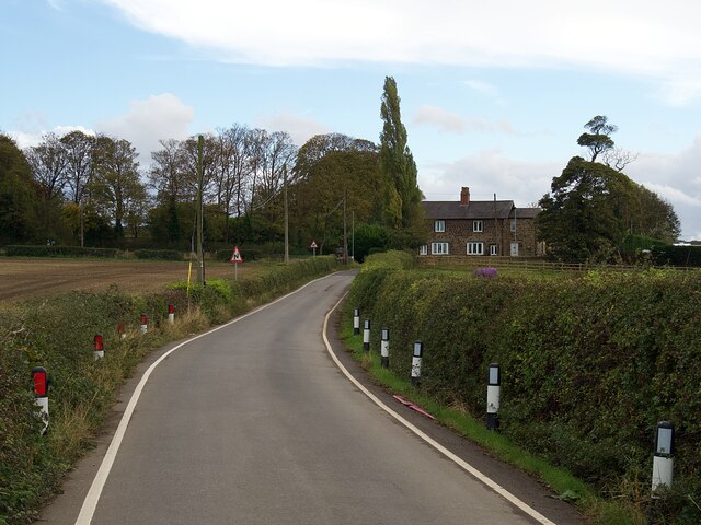
Bramley Lings is a small village located in the county of Yorkshire, England. Situated in the northern part of the country, Bramley Lings offers a picturesque and tranquil setting for its residents and visitors alike. The village is surrounded by lush green fields and rolling hills, showcasing the natural beauty that Yorkshire is renowned for.

Bramley Lings is home to a close-knit community that takes pride in its rich history and heritage. The village dates back centuries, with evidence of human settlement found in the area since the Roman times. The village's architecture reflects its long-standing history, with charming traditional buildings and quaint cottages lining the streets.

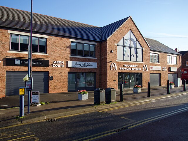
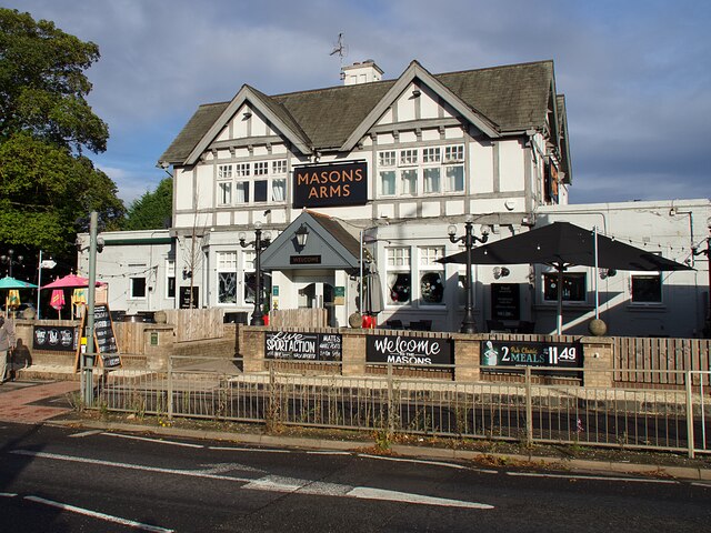
The village offers a range of amenities to cater to its residents' needs. These include a local pub, a village hall, a primary school, and a small selection of shops. The village hall serves as a hub for community events, hosting regular gatherings, meetings, and social activities.

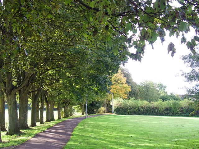
For those who enjoy outdoor pursuits, Bramley Lings provides ample opportunities for exploration and recreation. The surrounding countryside offers scenic walking trails, perfect for nature enthusiasts and hikers. Additionally, the village is in close proximity to several nature reserves and parks, providing further options for outdoor activities.

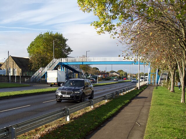
Bramley Lings benefits from its strategic location, with good transport links to nearby towns and cities. The village is well-connected via road networks, making it easily accessible for both residents and visitors.

Overall, Bramley Lings is a charming and idyllic village in Yorkshire, offering a peaceful retreat for those seeking a slower pace of life amidst beautiful surroundings.

If you have any feedback on the listing, please let us know in the comments section below.

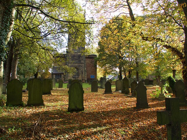
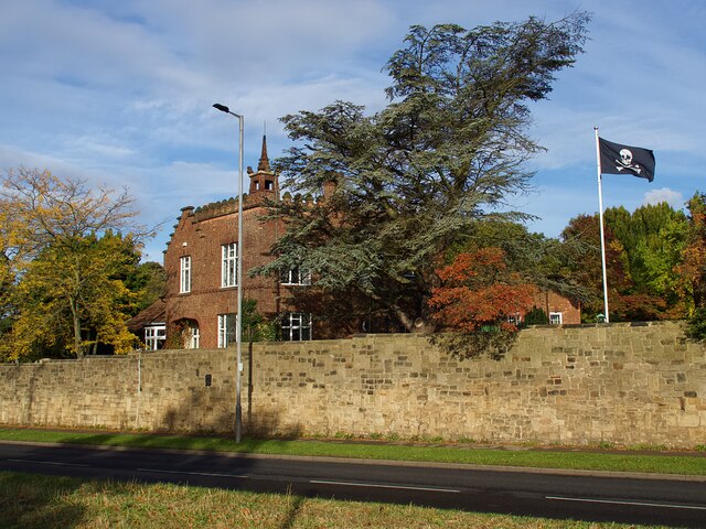
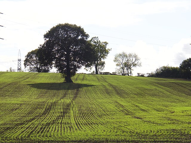
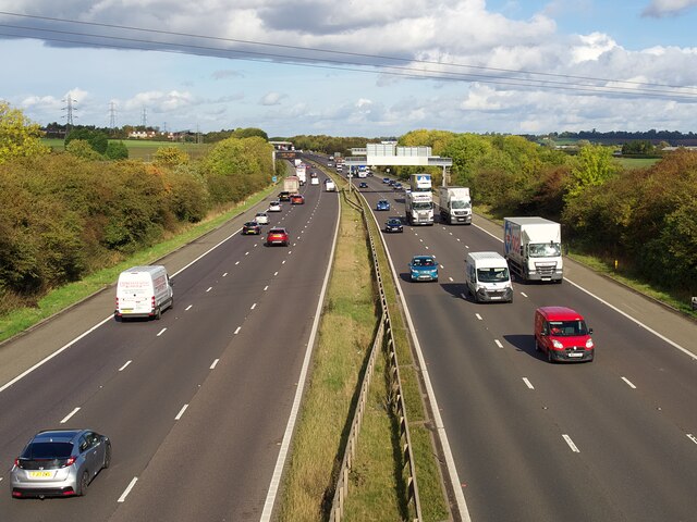
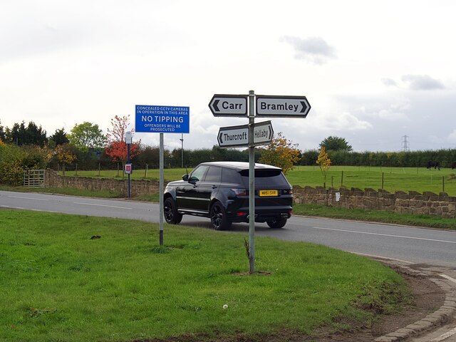
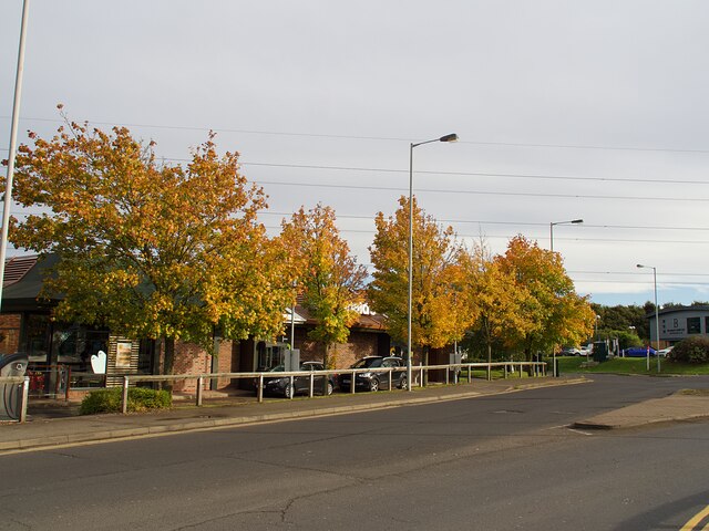
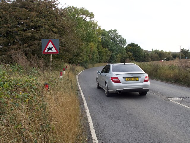
Bramley Lings Images

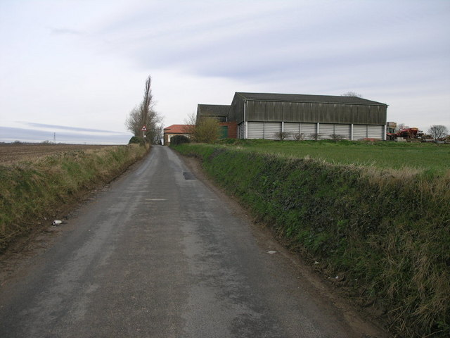
Images are sourced within 2km of 53.419535/-1.2625793 or Grid Reference SK4991. Thanks to Geograph Open Source API. All images are credited.

Aeon Court, Main Street, Bramley
Footbridge over A631 Bawtry Road Providing safe access over a busy dual carriageway road to Wickersley School and Sports College
Footbridge over A631 Bawtry Road
Providing safe access over a busy dual carriageway road to Wickersley School and Sports College
Wickersley Park A small suburban park & recreation ground.
Wickersley Park
A small suburban park & recreation ground.
The Masons Arms Judging by the window decorations on entry you should turn left for Halloween and right for Christmas!
The Masons Arms
Judging by the window decorations on entry you should turn left for Halloween and right for Christmas!
St Alban's churchyard Grade II listed parish church dating from the 15th century.
St Alban's churchyard
Grade II listed parish church dating from the 15th century.
Castle House, Bawtry Road Flying a skull & crossbones flag for some reason.
Castle House, Bawtry Road
Flying a skull & crossbones flag for some reason.
Solitary tree in a newly sown field
The M18 Motorway near Junction 1 Looking north from a footbridge
The M18 Motorway near Junction 1
Looking north from a footbridge
Direction signs at a crossroads  Where Sandy Lane, Newhall Lane, Kingsforth Lane and Cumwell Lane meet.
Direction signs at a crossroads
Where Sandy Lane, Newhall Lane, Kingsforth Lane and Cumwell Lane meet.
Autumn colour at Macdonald's Restaurant In a small commercial development adjacent to Junction 1 on the M18.
Autumn colour at Macdonald's Restaurant
In a small commercial development adjacent to Junction 1 on the M18.
Road sign on Newhall Lane Warning of a double bend.
Road sign on Newhall Lane
Warning of a double bend.
Newhall Lane Looking towards Newhall Grange
Newhall Lane
Looking towards Newhall Grange
Warning sign on Cumwell Lane
Petrol station on Bawtry Road No fuel was available at the time of this visit.
Petrol station on Bawtry Road
No fuel was available at the time of this visit.
Hellaby Hall Hellaby Hall in Hellaby, South Yorkshire
Hellaby Hall
Hellaby Hall in Hellaby, South Yorkshire
Hellaby Hall Country House of c1700, it was derelict for many years and in danger of being demolished until rescued and transformed into a country house hotel.
Hellaby Hall
Country House of c1700, it was derelict for many years and in danger of being demolished until rescued and transformed into a country house hotel.
Newhall Grange Despite the rural appearance the busy M18 is less than half a mile from this farm.
Newhall Grange
Despite the rural appearance the busy M18 is less than half a mile from this farm.
Hellaby Industrial Estate Denby Way.
Hellaby Industrial Estate
Denby Way.
Show me another place!

Bramley Lings is located at Grid Ref: SK4991 (Lat: 53.419535, Lng: -1.2625793)

Division: West Riding

Unitary Authority: Rotherham

Police Authority: South Yorkshire

What 3 Words

///reef.linked.atoms. Near Bramley, South Yorkshire

Nearby Locations

Bramley Bramley Lings

Related Wikis

Bramley, Rotherham

Bramley is a village and civil parish of the Metropolitan Borough of Rotherham in South Yorkshire, England. The village is situated approximately 4 miles...

Wickersley School and Sports College

Wickersley School and Sports College is a coeducational secondary school and sixth form with academy status, located in Wickersley in the Metropolitan...

Wickersley

Wickersley is a village and civil parish in the Metropolitan Borough of Rotherham in South Yorkshire, England, situated 3 miles (5 km) from the centre...

Hellaby

Hellaby is a village and civil parish in the Metropolitan Borough of Rotherham, South Yorkshire, England. The population of the civil parish at the 2011...

Nearby Amenities

Located within 500m of 53.419535,-1.2625793
Crossing
Crossing: marked
Crossing Island: yes
Tactile Paving: yes
Lat/Long: 53.4235127/-1.2645579
Traffic Signals
Traffic Signals: signal
Traffic Signals Direction: forward
Lat/Long: 53.4237801/-1.2642397
Noexit: yes
Lat/Long: 53.4179355/-1.2625446
Turning Circle
Lat/Long: 53.4189179/-1.2608699
Barrier: cycle_barrier
Lat/Long: 53.4219816/-1.2570655
Barrier: cycle_barrier
Lat/Long: 53.4219231/-1.2573441
Barrier: cycle_barrier
Lat/Long: 53.421844/-1.2576932
Bus Stop
Bawtry Road/Flash Lane
Alt Name: Bawtry Road/Flash Lane
Bus: yes
Naptan AltCommonName: Bawtry Road/Flash Lane
Naptan AtcoCode: 370035125
Naptan Bearing: SW
Naptan CommonName: Bawtry Road/Flash Lane
Naptan Indicator: 35125
Naptan Landmark: 35125
Naptan PlusbusZoneRef: ROTHCEN
Naptan Street: Bawtry Road
Naptan Verified: no
Public Transport: platform
Source: naptan_import
Lat/Long: 53.4232172/-1.2648168
Bus Stop
Bawtry Road/Cross Street
Alt Name: Bawtry Road/Cross Street
Bus: yes
Naptan AltCommonName: Bawtry Road/Cross Street
Naptan AtcoCode: 370035156
Naptan Bearing: NE
Naptan CommonName: Bawtry Road/Cross Street
Naptan Indicator: 35156
Naptan Landmark: The King Henry
Naptan PlusbusZoneRef: ROTHCEN
Naptan Street: Bawtry Road
Naptan Verified: no
Public Transport: platform
Source: naptan_import
Lat/Long: 53.4239973/-1.2629985
Bus Stop
Flash Lane/The Lings
Bus: yes
Naptan AtcoCode: 370031069
Naptan Bearing: N
Naptan CommonName: Flash Lane/The Lings
Naptan Indicator: 31069
Naptan Landmark: 31069
Naptan PlusbusZoneRef: ROTHCEN
Naptan Street: Flash Lane
Naptan Verified: no
Public Transport: platform
Source: naptan_import
Lat/Long: 53.4203334/-1.2629958
Bus Stop
Wood Lane/Fabian Way
Alt Name: Wood Lane/Fabian Way
Naptan AltCommonName: Wood Lane/Fabian Way
Naptan AtcoCode: 370031161
Naptan Bearing: NE
Naptan CommonName: Wood Lane/Fabian Way
Naptan Indicator: 31161
Naptan Landmark: S.LIGHT NO. 2
Naptan PlusbusZoneRef: ROTHCEN
Naptan Street: Wood Lane
Naptan Verified: no
Source: naptan_import
Lat/Long: 53.4185998/-1.2625384
Bus Stop
Flash Lane/Crosby Ave
Bus: yes
Naptan AtcoCode: 370031164
Naptan Bearing: S
Naptan CommonName: Flash Lane/Crosby Ave
Naptan Indicator: 31164
Naptan Landmark: 31164
Naptan PlusbusZoneRef: ROTHCEN
Naptan Street: Flash Lane
Naptan Verified: no
Public Transport: platform
Source: naptan_import
Lat/Long: 53.422671/-1.2637882
Bus Stop
Flash Lane/Crosby Avenue
Bus: yes
Naptan AtcoCode: 370035616
Naptan Bearing: N
Naptan BusStopType: CUS
Naptan CommonName: Flash Lane/Crosby Avenue
Naptan Indicator: 35616
Naptan Landmark: 35616
Naptan PlusbusZoneRef: ROTHCEN
Naptan Street: Flash Lane
Naptan Verified: no
Public Transport: platform
Source: naptan_import
Lat/Long: 53.4226186/-1.2639168
Sandy Lane/Broadlands
Alt Name: Sandy Lane/Broadlands
Naptan AltCommonName: Sandy Lane/Broadlands
Naptan AtcoCode: 370035622
Naptan Bearing: SE
Naptan BusStopType: CUS
Naptan CommonName: Sandy Lane/Broadlands
Naptan Indicator: 35622
Naptan Landmark: 35622
Naptan PlusbusZoneRef: ROTHCEN
Naptan Street: Sandy Lane
Naptan Verified: no
Source: naptan_import
Lat/Long: 53.4179686/-1.2607587
Bus Stop
Sandy Lane/Broadlands
Alt Name: Sandy Lane/Broadlands
Naptan AltCommonName: Sandy Lane/Broadlands
Naptan AtcoCode: 370035479
Naptan Bearing: NW
Naptan CommonName: Sandy Lane/Broadlands
Naptan Indicator: 35479
Naptan Landmark: 35479
Naptan PlusbusZoneRef: ROTHCEN
Naptan Street: Sandy Lane
Naptan Verified: no
Source: naptan_import
Lat/Long: 53.417798/-1.2607918
Bus Stop
Flash Lane/The Lings
Bus: yes
Naptan AtcoCode: 370035494
Naptan Bearing: S
Naptan CommonName: Flash Lane/The Lings
Naptan Indicator: 35494
Naptan Landmark: Playing Fields
Naptan PlusbusZoneRef: ROTHCEN
Naptan Street: Flash Lane
Naptan Verified: no
Public Transport: platform
Source: naptan_import
Lat/Long: 53.4204909/-1.2629325
Bus Stop
Sandy Lane/Nascot Close
Alt Name: Sandy Lane/Nascot Close
Naptan AltCommonName: Sandy Lane/Nascot Close
Naptan AtcoCode: 370035931
Naptan Bearing: N
Naptan CommonName: Sandy Lane/Nascot Close
Naptan Indicator: 35931
Naptan Landmark: 35931
Naptan Street: Sandy Lane
Naptan Verified: no
Source: naptan_import
Lat/Long: 53.417293/-1.2561812
Sandy Lane/Nascot Close
Alt Name: Sandy Lane/Nascot Close
Naptan AltCommonName: Sandy Lane/Nascot Close
Naptan AtcoCode: 370035932
Naptan Bearing: N
Naptan BusStopType: CUS
Naptan CommonName: Sandy Lane/Nascot Close
Naptan Indicator: 35932
Naptan Landmark: 35932
Naptan Street: Sandy Lane
Naptan Verified: no
Source: naptan_import
Lat/Long: 53.4171317/-1.2562743
Power: tower
Lat/Long: 53.4206431/-1.2554445
Power: tower
Lat/Long: 53.4176384/-1.2568617
Barrier: cycle_barrier
Bicycle: yes
Foot: yes
Source: survey
Lat/Long: 53.4229002/-1.2594145
Crossing
Crossing: marked
Crossing Island: yes
Tactile Paving: yes
Lat/Long: 53.42371/-1.2638504
Traffic Signals
Traffic Signals: signal
Traffic Signals Direction: backward
Lat/Long: 53.4232906/-1.2641117
Post Box
Collection Times: Mo-Fr 09:00; Sa 07:00
Post Box Type: pillar
Ref: S66 208D
Royal Cypher: EIIR
Royal Cypher Wikidata: Q33102113
Lat/Long: 53.4235728/-1.2646258
Entrance: yes
Lat/Long: 53.4212814/-1.2629762
Leisure: playground
Lat/Long: 53.4218094/-1.2630719
Defibrillator
Access: yes
Check Date: 2023-03-09
Defibrillator Location: On outside wall. Available 24/7.
Emergency: defibrillator
Indoor: no
Opening Hours: 24/7
Lat/Long: 53.4212544/-1.2629818
Crossing
Crossing: marked
Crossing Island: yes
Tactile Paving: yes
Lat/Long: 53.4235502/-1.2638389
Crossing
Crossing: marked
Crossing Island: yes
Tactile Paving: yes
Lat/Long: 53.4233454/-1.2645633
Barrier: bollard
Foot: yes
Motor Vehicle: no
Lat/Long: 53.4206821/-1.260673
Bawtry Road/Flash Lane
Bus: yes
Public Transport: stop_position
Lat/Long: 53.4232616/-1.2648508
Bawtry Road/Cross Street
Bus: yes
Public Transport: stop_position
Lat/Long: 53.4239557/-1.2629615
Flash Lane/Crosby Avenue
Bus: yes
Public Transport: stop_position
Lat/Long: 53.4226274/-1.2638474
Flash Lane/Crosby Ave
Bus: yes
Public Transport: stop_position
Lat/Long: 53.4226618/-1.2638609
Flash Lane/The Lings
Bus: yes
Public Transport: stop_position
Lat/Long: 53.4204881/-1.2629817
Flash Lane/The Lings
Bus: yes
Public Transport: stop_position
Lat/Long: 53.4203537/-1.2629269
Crossing
Crossing: uncontrolled
Crossing Island: no
Tactile Paving: no
Lat/Long: 53.4233368/-1.2641294
Post Box
Collection Times: Mo-Fr 09:00; Sa 07:00
Post Box Type: pillar
Ref: S66 387
Royal Cypher: EIIR
Royal Cypher Wikidata: Q33102113
Lat/Long: 53.420261/-1.2629766
Marker: post
Lat/Long: 53.4155584/-1.260944
Marker: post
Lat/Long: 53.4175619/-1.2585118
Marker: post
Lat/Long: 53.4193545/-1.2568161
Marker: post
Lat/Long: 53.4199804/-1.2563038
Marker: post
Lat/Long: 53.4170562/-1.2589817
Traffic Signals
Traffic Signals: signal
Lat/Long: 53.4234911/-1.2646373
Traffic Signals
Traffic Signals: signal
Lat/Long: 53.4235697/-1.2637653
Traffic Signals
Traffic Signals: signal
Lat/Long: 53.4236188/-1.2638098
Crossing
Crossing: marked
Crossing Island: yes
Tactile Paving: yes
Lat/Long: 53.4236007/-1.2638772
Traffic Signals
Traffic Signals: signal
Lat/Long: 53.4234397/-1.2645956
Crossing
Crossing: unmarked
Lat/Long: 53.4228202/-1.2668879
Crossing
Crossing: unmarked
Crossing Island: yes
Tactile Paving: yes
Lat/Long: 53.4229533/-1.2669433
Crossing
Crossing: marked
Crossing Island: yes
Tactile Paving: yes
Lat/Long: 53.4234609/-1.2645186
Crossing
Crossing: unmarked
Crossing Island: no
Tactile Paving: yes
Lat/Long: 53.4233904/-1.2653116
Crossing
Crossing: unmarked
Crossing Island: yes
Tactile Paving: yes
Lat/Long: 53.423891/-1.2634361
Crossing
Crossing: unmarked
Crossing Island: no
Tactile Paving: no
Lat/Long: 53.4238182/-1.2642536
The data included in this document is from www.openstreetmap.org. The data is made available under ODbL.

Have you been to Bramley Lings?

Leave your review of Bramley Lings below (or comments, questions and feedback).