Bradwell Wick
Settlement in Essex Maldon
England
Bradwell Wick

Bradwell Wick is a small village located in the county of Essex, England. Situated approximately 9 miles southeast of the town of Maldon, it lies within the Maldon district. The village is nestled in a rural setting, surrounded by picturesque countryside and farmland.
With a population of around 500 residents, Bradwell Wick has a close-knit community feel. The village is characterized by its traditional English charm, with a scattering of historic buildings and quaint cottages dotting the landscape. The village center is home to a few local amenities, including a small convenience store and a traditional pub, offering a glimpse into the village's rich history.
Nature enthusiasts will find plenty to explore in and around Bradwell Wick. The village is located near the Bradwell Waterside Nature Reserve, a popular spot for birdwatching, hiking, and enjoying the scenic beauty of the area. The reserve boasts diverse habitats, including reed beds, salt marshes, and mudflats, making it a haven for a variety of bird species.
Bradwell Wick enjoys a peaceful and tranquil atmosphere, ideal for those seeking a retreat from the hustle and bustle of city life. While it may not have an extensive range of amenities, the village's charm lies in its simplicity and natural beauty. With its idyllic countryside setting and friendly community, Bradwell Wick offers a slice of rural English life.
If you have any feedback on the listing, please let us know in the comments section below.
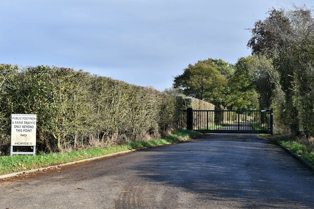
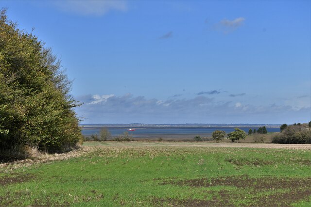
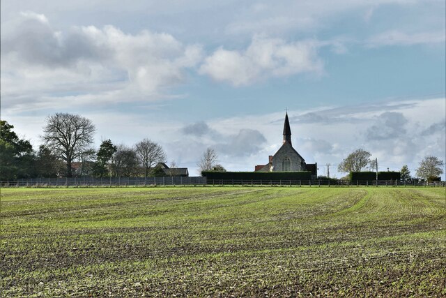
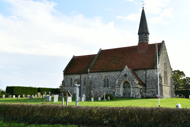
Bradwell Wick Images
Images are sourced within 2km of 51.711441/0.86134652 or Grid Reference TL9705. Thanks to Geograph Open Source API. All images are credited.


Bradwell Wick is located at Grid Ref: TL9705 (Lat: 51.711441, Lng: 0.86134652)
Administrative County: Essex
District: Maldon
Police Authority: Essex
What 3 Words
///ballooned.task.toned. Near Tollesbury, Essex
Nearby Locations
Related Wikis

St Lawrence, Essex
St Lawrence is a parish in the Maldon district of Essex in the East of England on the Dengie peninsula. The village of St Lawrence Bay, which takes its...

Tillingham
Tillingham is a small village and civil parish with 1,015 inhabitants in 2001, increasing to 1,058 at the 2011 Census, located 8 miles (13 km) from Burnham...

MV Ross Revenge
MV Ross Revenge is a radio ship, the home of Radio Caroline, as well as having supported Radio Monique and various religious broadcasters. Funded by the...

Bradwell-on-Sea
Bradwell-on-Sea is a village and civil parish in Essex, England; it is on the Dengie peninsula. It is located 5.6 mi (9.0 km) north-north-east of Southminster...
Nearby Amenities
Located within 500m of 51.711441,0.86134652Have you been to Bradwell Wick?
Leave your review of Bradwell Wick below (or comments, questions and feedback).