Bradway Bank

Settlement in Derbyshire

England

Bradway Bank

Construction of new loop at Dore West Creating a third track on which freight services will be able to pause between the Midland Main line and Hope Valley line rather than blocking either before being allowed to proceed between them. Due to become operational from April 2024.
Construction of new loop at Dore West Credit: Chris Morgan

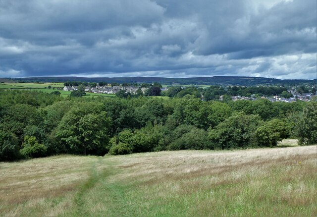
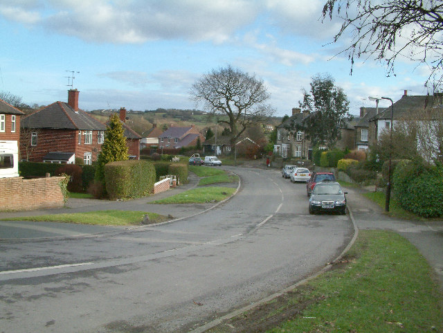
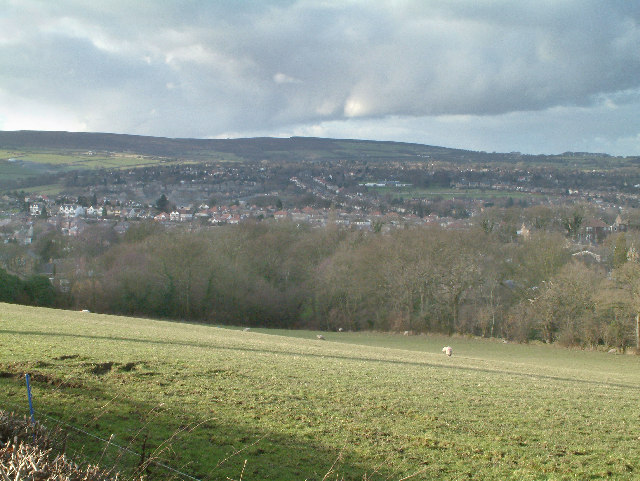
Bradway Bank is a residential area located in Derbyshire, England. Situated on the outskirts of Sheffield, it is part of the wider Bradway district. The area offers a tranquil setting, with a mix of detached and semi-detached houses nestled amidst picturesque countryside.

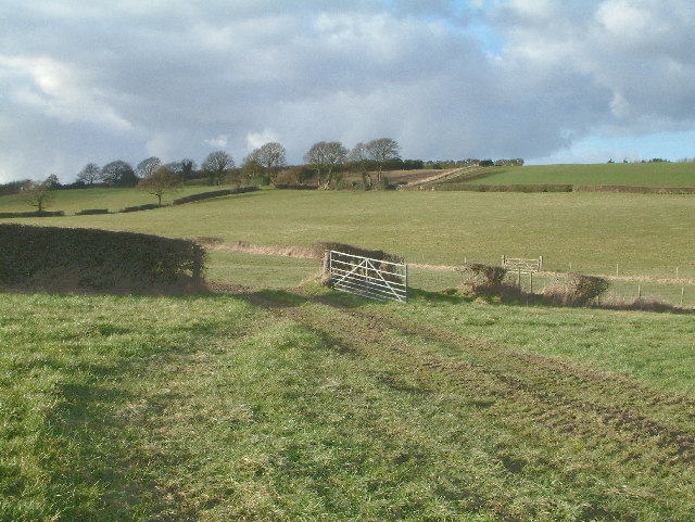
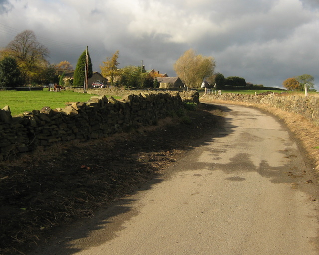
Bradway Bank benefits from its proximity to the Peak District National Park, which provides residents with ample opportunities for outdoor activities such as hiking, cycling, and exploring nature. The area is also known for its stunning views, with many properties enjoying panoramic vistas of the surrounding hills and valleys.

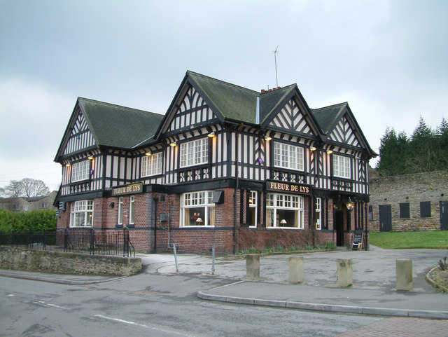
Despite its peaceful atmosphere, Bradway Bank is conveniently situated close to amenities. The nearby village of Dore offers a range of shops, including a supermarket, post office, and independent retailers. There are also several pubs, restaurants, and cafes where residents can enjoy a meal or socialize with friends.

Transport links in the area are excellent, with regular bus services connecting Bradway Bank to Sheffield city center and other nearby towns. For those commuting by car, the A621 road provides easy access to the wider region.

Families with children are well catered for in Bradway Bank, as the area is home to several well-regarded primary and secondary schools. There are also several parks and green spaces where children can play and families can enjoy leisure time outdoors.

Overall, Bradway Bank offers a desirable living environment with its combination of natural beauty, convenient amenities, and excellent transport links.

If you have any feedback on the listing, please let us know in the comments section below.
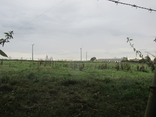
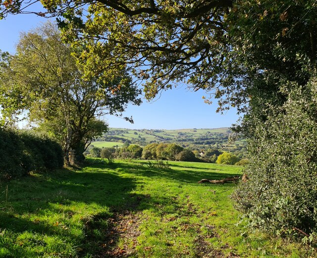
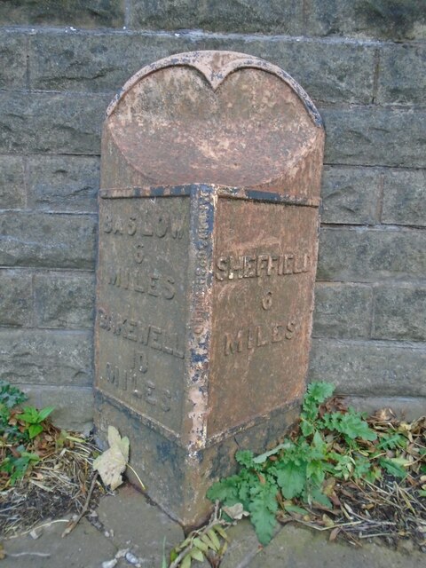
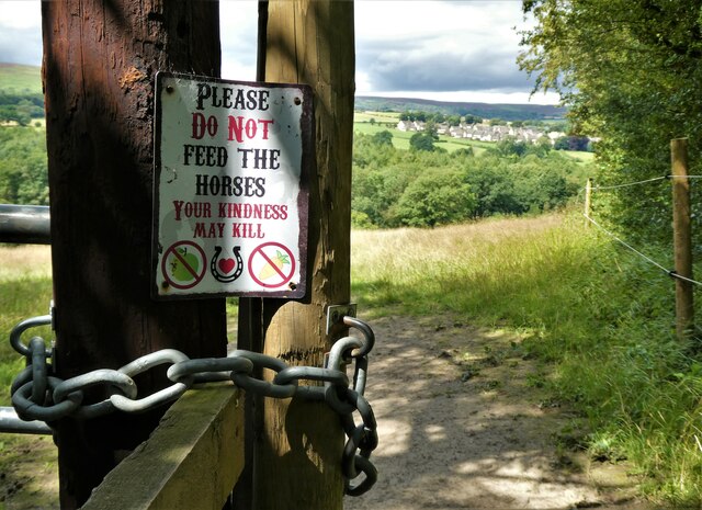
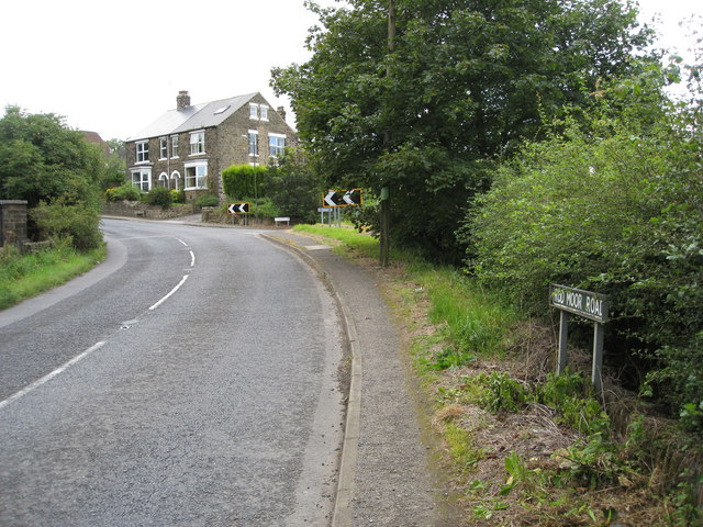
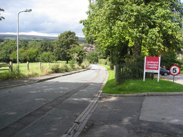
Bradway Bank Images

Images are sourced within 2km of 53.318713/-1.5168998 or Grid Reference SK3280. Thanks to Geograph Open Source API. All images are credited.

Construction of new loop at Dore West Creating a third track on which freight services will be able to pause between the Midland Main line and Hope Valley line rather than blocking either before being allowed to proceed between them. Due to become operational from April 2024.
Construction of new loop at Dore West
Creating a third track on which freight services will be able to pause between the Midland Main line and Hope Valley line rather than blocking either before being allowed to proceed between them. Due to become operational from April 2024.
Upper Birchitt farm and wind turbines. Along the Dronfield 2000 rotary walk.
Upper Birchitt farm and wind turbines.
Along the Dronfield 2000 rotary walk.
Looking towards Owler Bar From top of Totley Lane, Bradway
Looking towards Owler Bar
From top of Totley Lane, Bradway
Old milepost On the A621, Baslow Road, Totley this milepost becomes more and more neglected.   It is in a very vulnerable position opposite houses that often have parked cars making the road narrower.   The foundry name is down the front spine DARWIN & CO SHEFFIELD.   Their name is also seen on gully grates and doubtless they cast other products.   There was a Sheffield, Baslow, Owler Bar turnpike that lasted from 1803 to 1880 so this post may date from the middle to late 19C.
Old milepost
On the A621, Baslow Road, Totley this milepost becomes more and more neglected. It is in a very vulnerable position opposite houses that often have parked cars making the road narrower. The foundry name is down the front spine DARWIN & CO SHEFFIELD. Their name is also seen on gully grates and doubtless they cast other products. There was a Sheffield, Baslow, Owler Bar turnpike that lasted from 1803 to 1880 so this post may date from the middle to late 19C.
Looking back to Gillifield Wood and Totley From the edge of Woodthorpe Hall grounds
Looking back to Gillifield Wood and Totley
From the edge of Woodthorpe Hall grounds
Gillifield Wood and Totley In the southern suburbs of Sheffield
Gillifield Wood and Totley
In the southern suburbs of Sheffield
Mickley Lane. This shows the New Totley end of the road which runs through to Mickley.
Mickley Lane.
This shows the New Totley end of the road which runs through to Mickley.
View from Mickley Lane. A view looking out to Totley Rise and beyond from the road running between New Totley and Mickley.
View from Mickley Lane.
A view looking out to Totley Rise and beyond from the road running between New Totley and Mickley.
Near Dronfield Woodhouse. A view looking north west from the Dronfield Woodhouse to Holmsfield road.
Near Dronfield Woodhouse.
A view looking north west from the Dronfield Woodhouse to Holmsfield road.
Fleur De Lys public house. Located on Totley Hall Lane in the Totley area of Sheffield.
Fleur De Lys public house.
Located on Totley Hall Lane in the Totley area of Sheffield.
Woodthorpe Hall.
Woodthorpe Hall.
Unmade road to Barnes Farm All the fields around here seem to be used for stabling and breeding horses.
Unmade road to Barnes Farm
All the fields around here seem to be used for stabling and breeding horses.
The White Lane, Totley This track runs from Woodthorpe Hall to Mickley Lane in Totley. Here a tributary of the Totley Brook is culverted and marks the boundary between Derbyshire and Yorkshire.
The White Lane, Totley
This track runs from Woodthorpe Hall to Mickley Lane in Totley. Here a tributary of the Totley Brook is culverted and marks the boundary between Derbyshire and Yorkshire.
Holmesfield Park Wood - Easy Access Trail
Footpath from Northern Common
Footpath off Barnes Lane
Mickley - Rod Moor Road Approaching junction with Mickley Lane.
Mickley - Rod Moor Road
Approaching junction with Mickley Lane.
Mickley Lane approaching New Totley
Show me another place!

Bradway Bank is located at Grid Ref: SK3280 (Lat: 53.318713, Lng: -1.5168998)

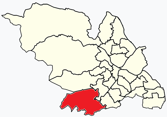
Unitary Authority: Sheffield

Police Authority: South Yorkshire

What 3 Words

///scan.play.salsa. Near Dronfield, Derbyshire

Related Wikis

Dore and Totley

Dore and Totley ward—which includes the districts of Bradway , Dore, Totley, and Whirlow—is one of the 28 electoral wards in City of Sheffield, England...

Abbeydale Park

Abbeydale Park is a sports venue in Dore, South Yorkshire, England. It is unusual in having hosted home games for two different county cricket teams....

Dore & Totley railway station

Dore & Totley railway station serves the south-western Sheffield suburbs of Dore and Totley in South Yorkshire, England 4+3⁄4 miles (7.6 km) south of Sheffield...

Old Hay Brook

The Old Hay Brook is a small river in Sheffield, South Yorkshire, England. It is formed from the Redcar Brook, Blacka Dike and another stream, which rise...

Totley Brook

The Totley Brook is a stream in Sheffield, South Yorkshire, England. It rises on a millstone grit ridge some 7 miles (11 km) to the south-west of the centre...

King Ecgbert School

King Ecgbert School is a co-educational secondary school with academy status (age range 11–18) in the village of Dore in the south-west of Sheffield, South...
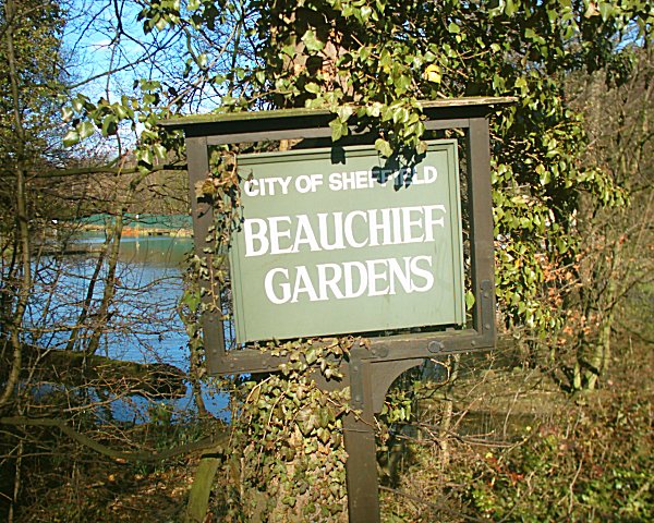
Beauchief Gardens

Beauchief Gardens is a small area of formal parkland in south-west Sheffield. The gardens lie between Abbeydale Road South to the north-west, the River...

Bradway Tunnel

Bradway Tunnel, 1 mile 266 yards (1.853 km) long, was built in 1870 about 1-mile (1.6 km) north of Dronfield, Derbyshire, in South Yorkshire, England.It...

Nearby Amenities

Located within 500m of 53.318713,-1.5168998
Recycling
Lat/Long: 53.3217381/-1.52055
Power: substation
Ref GB Uprn: 10013644335
Lat/Long: 53.3209664/-1.5220864
Turning Circle
Lat/Long: 53.3220237/-1.5219579
Post Box
Collection Times: Mo-Fr 09:00; Sa 07:00
Post Box Type: lamp
Ref: S17 82
Royal Cypher: EIIR
Royal Cypher Wikidata: Q33102113
Lat/Long: 53.3206467/-1.5104259
Turning Circle
Lat/Long: 53.3213953/-1.5123976
Turning Circle
Lat/Long: 53.3218721/-1.5123609
Turning Circle
Lat/Long: 53.3221277/-1.5148051
Post Box
Collection Times: Mo-Fr 09:00; Sa 07:00
Post Box Type: pillar
Ref: S17 37D
Royal Cypher: EIIR
Royal Cypher Wikidata: Q33102113
Lat/Long: 53.3175523/-1.5119283
Crossing: uncontrolled
Lat/Long: 53.3160115/-1.52029
Bus Stop
Bradway Road/Prospect Road
Bench: yes
Bus: yes
Naptan AtcoCode: 370020436
Naptan Bearing: NE
Naptan CommonName: Bradway Road/Prospect Road
Naptan Indicator: 20436
Naptan Landmark: 20436
Naptan PlusbusZoneRef: ROTHCEN
Naptan Street: Bradway Road
Naptan Verified: no
Public Transport: platform
Shelter: yes
Source: naptan_import
Tactile Paving: no
Lat/Long: 53.3172642/-1.5103055
Bus Stop
Bradway Road/Prospect Road
Bench: no
Bus: yes
Naptan AtcoCode: 370020439
Naptan Bearing: SW
Naptan CommonName: Bradway Road/Prospect Road
Naptan Indicator: 20439
Naptan Landmark: 20439
Naptan PlusbusZoneRef: ROTHCEN
Naptan Street: Bradway Road
Naptan Verified: no
Public Transport: platform
Shelter: no
Source: naptan_import
Tactile Paving: no
Lat/Long: 53.3171463/-1.5105608
Bus Stop
Prospect Road/St Quentin Drive
Bench: no
Bus: yes
Naptan AtcoCode: 370020440
Naptan Bearing: E
Naptan CommonName: Prospect Road/St Quentin Drive
Naptan Indicator: 20440
Naptan Landmark: 20440
Naptan PlusbusZoneRef: ROTHCEN
Naptan Street: Prospect Road
Naptan Verified: no
Public Transport: platform
Shelter: no
Source: naptan_import
Tactile Paving: yes
Lat/Long: 53.3176604/-1.512893
Bus Stop
Prospect Road/St Quentin Drive
Bench: no
Bus: yes
Naptan AtcoCode: 370020441
Naptan Bearing: E
Naptan CommonName: Prospect Road/St Quentin Drive
Naptan Indicator: 20441
Naptan Landmark: 20441
Naptan PlusbusZoneRef: ROTHCEN
Naptan Street: Prospect Road
Naptan Verified: no
Public Transport: platform
Shelter: no
Source: naptan_import
Tactile Paving: yes
Lat/Long: 53.3175606/-1.5130974
Bus Stop
Prospect Road/Everard Avenue
Alt Name: Prospect Road/Everard Avenue
Bus: yes
Naptan AltCommonName: Prospect Road/Everard Avenue
Naptan AtcoCode: 370025442
Naptan Bearing: SE
Naptan CommonName: Prospect Road/Everard Avenue
Naptan Indicator: 25442
Naptan Landmark: 25442
Naptan PlusbusZoneRef: ROTHCEN
Naptan Street: Prospect Road
Naptan Verified: no
Public Transport: platform
Source: naptan_import
Lat/Long: 53.3183404/-1.5163909
Bus Stop
Longford Road/Longford Drive
Bus: yes
Naptan AtcoCode: 370026764
Naptan Bearing: NW
Naptan BusStopType: CUS
Naptan CommonName: Longford Road/Longford Drive
Naptan Indicator: 26764
Naptan Landmark: POST BOX
Naptan PlusbusZoneRef: ROTHCEN
Naptan Street: Longford Road
Naptan Verified: no
Public Transport: platform
Source: naptan_import
Lat/Long: 53.3161271/-1.5204204
Railway: switch
Lat/Long: 53.3212585/-1.5220368
Turning Circle
Lat/Long: 53.3193233/-1.5240875
Totley Rise Transmitter
Communication Television: yes
Man Made: mast
Tower Type: communication
Lat/Long: 53.32225/-1.5177862
Longford Road/Longford Drive
Bus: yes
Public Transport: stop_position
Lat/Long: 53.3161529/-1.5203559
Stop
Direction: backward
Lat/Long: 53.3170254/-1.5112387
Bradway Bank
Place: locality
Lat/Long: 53.3224515/-1.5151382
Upper Bradway
Place: locality
Lat/Long: 53.3167028/-1.5111269
Crossing
Crossing: zebra
Crossing Island: no
Kerb: lowered
Tactile Paving: yes
Lat/Long: 53.3175768/-1.5121319
Give Way
Direction: backward
Lat/Long: 53.3171081/-1.5113427
Post Box
Collection Times: Mo-Fr 09:00; Sa 07:00
Post Box Type: pillar
Ref: S17 843D
Royal Cypher: EIIR
Royal Cypher Wikidata: Q33102113
Lat/Long: 53.3186055/-1.5169236
Post Box
Collection Times: Mo-Fr 09:00; Sa 07:00
Post Box Type: pillar
Ref: S17 796D
Royal Cypher: EIIR
Royal Cypher Wikidata: Q33102113
Lat/Long: 53.3207425/-1.5168562
Post Box
Collection Times: Mo-Fr 09:00; Sa 07:00
Post Box Type: pillar
Ref: S17 893
Royal Cypher: EIIR
Royal Cypher Wikidata: Q33102113
Lat/Long: 53.3160569/-1.5203654
Prospect Road/Everard Avenue
Bus: yes
Public Transport: stop_position
Lat/Long: 53.3183599/-1.5165028
Prospect Road/St Quentin Drive
Bus: yes
Public Transport: stop_position
Lat/Long: 53.317606/-1.5128877
Prospect Road/St Quentin Drive
Bus: yes
Public Transport: stop_position
Lat/Long: 53.3176093/-1.5131051
Bradway Road/Prospect Road
Bus: yes
Public Transport: stop_position
Lat/Long: 53.3171768/-1.5105732
Bradway Road/Prospect Road
Bus: yes
Public Transport: stop_position
Lat/Long: 53.3172171/-1.5102892
Crossing
Crossing: unmarked
Crossing Island: no
Kerb: lowered
Tactile Paving: yes
Lat/Long: 53.3176503/-1.5122664
Generator Method: photovoltaic
Generator Output Electricity: yes
Generator Source: solar
Generator Type: solar_photovoltaic_panel
Power: generator
Lat/Long: 53.3178491/-1.5134876
Generator Method: photovoltaic
Generator Output Electricity: yes
Generator Source: solar
Generator Type: solar_photovoltaic_panel
Power: generator
Lat/Long: 53.3195977/-1.5111444
Generator Method: photovoltaic
Generator Output Electricity: yes
Generator Source: solar
Generator Type: solar_photovoltaic_panel
Power: generator
Lat/Long: 53.3197009/-1.5101497
Grit Bin
Operator: Sheffield City Council
Operator Type: government
Operator Wikidata: Q7492609
Seasonal: no
Lat/Long: 53.3193006/-1.5110378
Grit Bin
Operator: Sheffield City Council
Operator Type: government
Operator Wikidata: Q7492609
Seasonal: no
Lat/Long: 53.3210967/-1.5217359
Grit Bin
Operator: Sheffield City Council
Operator Type: government
Operator Wikidata: Q7492609
Seasonal: no
Lat/Long: 53.3217786/-1.5169544
Grit Bin
Operator: Sheffield City Council
Operator Type: government
Operator Wikidata: Q7492609
Seasonal: no
Lat/Long: 53.3162763/-1.5188928
Grit Bin
Operator: Sheffield City Council
Operator Type: government
Operator Wikidata: Q7492609
Seasonal: no
Lat/Long: 53.3188285/-1.5209807
Grit Bin
Operator: Sheffield City Council
Operator Type: government
Operator Wikidata: Q7492609
Seasonal: no
Lat/Long: 53.317949/-1.5213358
Grit Bin
Operator: Sheffield City Council
Operator Type: government
Operator Wikidata: Q7492609
Seasonal: no
Lat/Long: 53.3205342/-1.5204512
Grit Bin
Operator: Sheffield City Council
Operator Type: government
Operator Wikidata: Q7492609
Seasonal: no
Lat/Long: 53.32088/-1.5103892
Grit Bin
Operator: Sheffield City Council
Operator Type: government
Operator Wikidata: Q7492609
Seasonal: no
Lat/Long: 53.3172253/-1.5113167
Grit Bin
Operator: Sheffield City Council
Operator Type: government
Operator Wikidata: Q7492609
Seasonal: no
Lat/Long: 53.3178017/-1.5182151
Grit Bin
Operator: Sheffield City Council
Operator Type: government
Operator Wikidata: Q7492609
Seasonal: no
Lat/Long: 53.3220366/-1.5140841
Grit Bin
Operator: Sheffield City Council
Operator Type: government
Operator Wikidata: Q7492609
Seasonal: no
Lat/Long: 53.3157156/-1.520295
Grit Bin
Operator: Sheffield City Council
Operator Type: government
Operator Wikidata: Q7492609
Seasonal: no
Lat/Long: 53.3186402/-1.5144229
Grit Bin
Operator: Sheffield City Council
Operator Type: government
Operator Wikidata: Q7492609
Seasonal: no
Lat/Long: 53.3216558/-1.5177064
Grit Bin
Operator: Sheffield City Council
Operator Type: government
Operator Wikidata: Q7492609
Seasonal: no
Lat/Long: 53.3211056/-1.5217208
Grit Bin
Operator: Sheffield City Council
Operator Type: government
Operator Wikidata: Q7492609
Seasonal: no
Lat/Long: 53.3207434/-1.5165907
Grit Bin
Operator: Sheffield City Council
Operator Type: government
Operator Wikidata: Q7492609
Seasonal: no
Lat/Long: 53.3179449/-1.5114285
Grit Bin
Operator: Sheffield City Council
Operator Type: government
Operator Wikidata: Q7492609
Seasonal: no
Lat/Long: 53.3194241/-1.5148793
Grit Bin
Operator: Sheffield City Council
Operator Type: government
Operator Wikidata: Q7492609
Seasonal: no
Lat/Long: 53.3203836/-1.514313
Grit Bin
Operator: Sheffield City Council
Operator Type: government
Operator Wikidata: Q7492609
Seasonal: no
Lat/Long: 53.3185649/-1.5113614
Grit Bin
Operator: Sheffield City Council
Operator Type: government
Operator Wikidata: Q7492609
Seasonal: no
Lat/Long: 53.3208053/-1.5185716
Grit Bin
Operator: Sheffield City Council
Operator Type: government
Operator Wikidata: Q7492609
Seasonal: no
Lat/Long: 53.3186604/-1.5171697
Grit Bin
Operator: Sheffield City Council
Operator Type: government
Operator Wikidata: Q7492609
Seasonal: no
Lat/Long: 53.3205696/-1.5203007
Defibrillator
Access: yes
Defibrillator Location: On the outside wall of the shops.
Emergency: defibrillator
Indoor: no
Lat/Long: 53.3163727/-1.5200514
The data included in this document is from www.openstreetmap.org. The data is made available under ODbL.

Have you been to Bradway Bank?

Leave your review of Bradway Bank below (or comments, questions and feedback).