Boswarthen

Settlement in Cornwall

England

Boswarthen

Footpath near Holy Madron Well
Footpath near Holy Madron Well Credit: Tom Page

Boswarthen is a picturesque village located in Cornwall, England. Situated in the western part of the county, it is nestled amidst idyllic countryside and offers breathtaking views of the surrounding landscape. The village is known for its tranquility, making it a popular destination for those seeking a peaceful retreat.

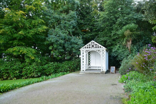
The heart of Boswarthen is centered around a quaint village square, complete with charming cottages and a local pub. The village has a close-knit community, and residents take great pride in maintaining their traditional way of life. The streets are lined with beautiful gardens and flower displays, adding to the village's overall charm.

One of the main attractions in Boswarthen is its proximity to the stunning coastline of Cornwall. Just a short drive away, visitors can explore picturesque beaches, rugged cliffs, and hidden coves. The area is perfect for coastal walks, offering visitors the chance to experience the natural beauty of the region.

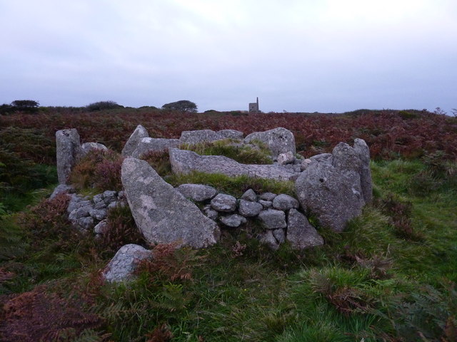
For history enthusiasts, Boswarthen is ideally located near several notable landmarks. The nearby town of Penzance is home to ancient sites such as St. Michael's Mount, a medieval castle located on a small island just off the coast. Additionally, the famous open-air Minack Theatre, carved into the cliffs overlooking the sea, offers a unique cultural experience.

In summary, Boswarthen is a charming village that encapsulates the beauty of Cornwall. With its peaceful atmosphere, stunning natural surroundings, and access to coastal wonders, it is an ideal destination for those seeking a tranquil retreat or an opportunity to explore the rich history and breathtaking scenery of the region.

If you have any feedback on the listing, please let us know in the comments section below.
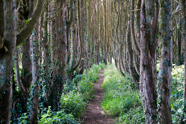
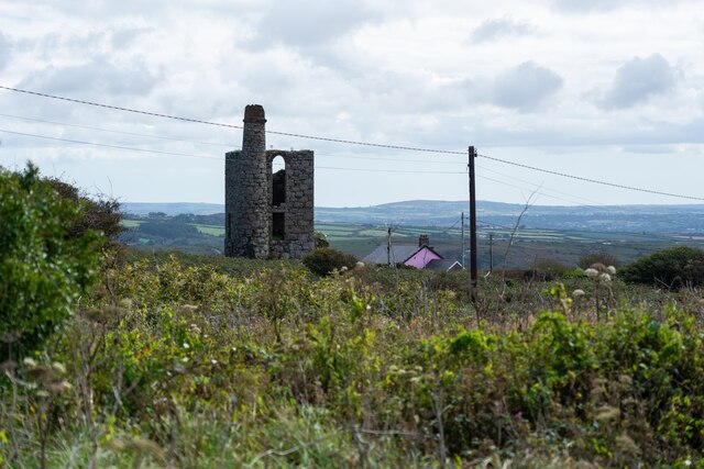
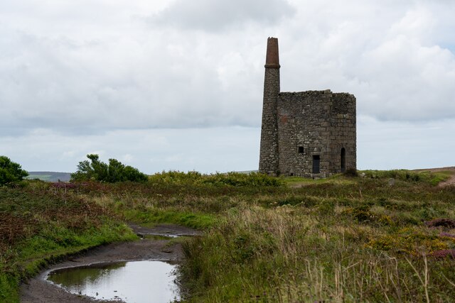
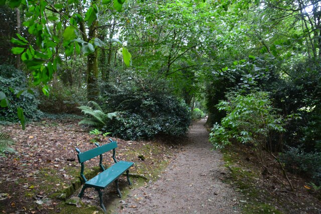
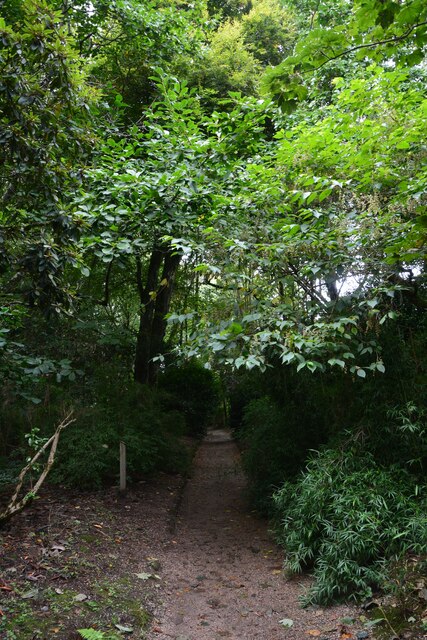
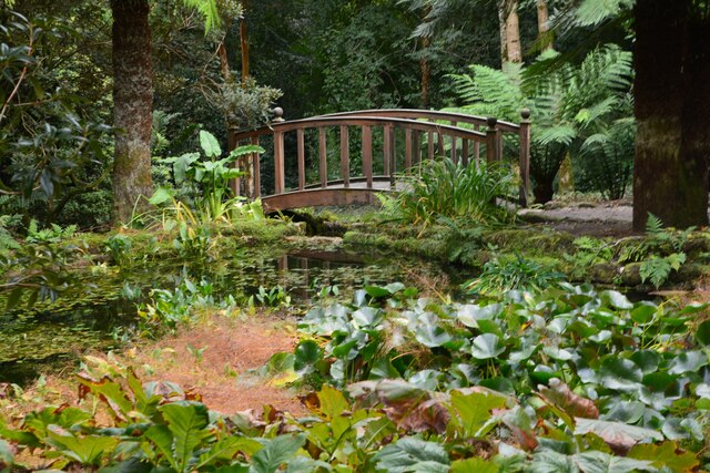
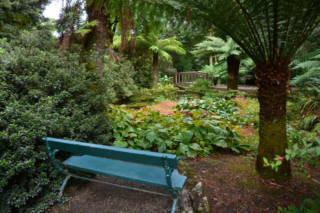
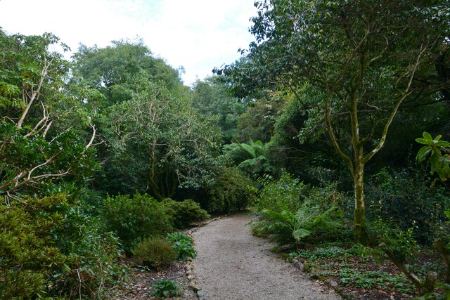
Boswarthen Images

Images are sourced within 2km of 50.143096/-5.5823308 or Grid Reference SW4433. Thanks to Geograph Open Source API. All images are credited.

Footpath near Holy Madron Well
Ding Dong mines in Penwith
Chimney and shaft buildings as part of Ding Dong Mines in Penwith
Madron : Trengwainton Estate Footpath A footpath heads up the hill.
Madron : Trengwainton Estate Footpath
A footpath heads up the hill.
Madron : Trengwainton Estate Road Looking along a path through a wooded area.
Madron : Trengwainton Estate Road
Looking along a path through a wooded area.
Madron : Trengwainton Estate - Pond & Bridge Looking towards a pond and a bridge.
Madron : Trengwainton Estate - Pond & Bridge
Looking towards a pond and a bridge.
Madron : Trengwainton Estate - Pond & Bridge A place to sit beside the pond.
Madron : Trengwainton Estate - Pond & Bridge
A place to sit beside the pond.
Madron : Trengwainton Estate Footpath A footpath through the estate.
Madron : Trengwainton Estate Footpath
A footpath through the estate.
Madron : Trengwainton Estate A summer house at the public part of the estate.
Madron : Trengwainton Estate
A summer house at the public part of the estate.
Madron : Trengwainton Estate Looking across a part of the estate with a view.
Madron : Trengwainton Estate
Looking across a part of the estate with a view.
Madron : Trengwainton Estate Looking across the views from the Trengwainton Estate.
Madron : Trengwainton Estate
Looking across the views from the Trengwainton Estate.
Madron : Trengwainton House The current dwelling has been on the site since at least the 16th century and was altered and extended in the 18th and 19th centuries. The house is a grade II listed building.
Madron : Trengwainton House
The current dwelling has been on the site since at least the 16th century and was altered and extended in the 18th and 19th centuries. The house is a grade II listed building.
Madron : Trengwainton Estate Looking across a field at Trengwainton Estate.
Madron : Trengwainton Estate
Looking across a field at Trengwainton Estate.
Madron : Trengwainton House Trengwainton House in Madron. Owned by the Bolitho family since the mid 19th century, the house commands fantastic views across Mount's Bay and is set in National Trust owned gardens.
Madron : Trengwainton House
Trengwainton House in Madron. Owned by the Bolitho family since the mid 19th century, the house commands fantastic views across Mount's Bay and is set in National Trust owned gardens.
Madron : Trengwainton Gardens Owned by the National Trust the gardens are open for people to explore.
Madron : Trengwainton Gardens
Owned by the National Trust the gardens are open for people to explore.
Madron : Trengwainton Gardens Owned by the National Trust the gardens are open for people to explore.
Madron : Trengwainton Gardens
Owned by the National Trust the gardens are open for people to explore.
Madron : Trengwainton Gardens A small pond in amongst the fauna.
Madron : Trengwainton Gardens
A small pond in amongst the fauna.
Show me another place!

Boswarthen is located at Grid Ref: SW4433 (Lat: 50.143096, Lng: -5.5823308)

Unitary Authority: Cornwall

Police Authority: Devon and Cornwall

What 3 Words

///bump.pill.rust. Near Penzance, Cornwall

Nearby Locations

Boswarthen Madron

Related Wikis

Madron Well and Madron Well Chapel

Madron Well and Madron Well Chapel is a scheduled Ancient Monument in the civil parish of Madron, Cornwall, UK. Madron Well Chapel (grid reference SW446328...

Carfury

Carfury is a hamlet in west Cornwall, England, United Kingdom. It is situated in Penwith approximately three miles (5 km) northwest of Penzance. It is...

Carfury Standing Stone

Carfury Standing Stone is a standing stone in Penwith, Cornwall, about 4km northwest of Penzance. Also called Cuckoo Rock, the stone stands around 3m tall...

Bosiliack

Bosiliack is a small farming hamlet in the civil parish of Madron, Cornwall, UK. The hamlet is located between Madron and Morvah. The hamlet contains several...

Nearby Amenities

Located within 500m of 50.143096,-5.5823308
Boswarthan
Is In: Cornwall, England, UK
Name Kw: Boswarghan
Place: hamlet
Source: OS_OpenData_StreetView
Lat/Long: 50.1432194/-5.5818721
Bosiliak
Place: locality
Lat/Long: 50.142213/-5.5865908
Power: pole
Lat/Long: 50.1396912/-5.5849841
Power: pole
Lat/Long: 50.139729/-5.5838791
Power: pole
Lat/Long: 50.1397565/-5.582656
Power: pole
Lat/Long: 50.1397909/-5.5811137
Power: pole
Lat/Long: 50.1398287/-5.5796009
Power: pole
Lat/Long: 50.1398777/-5.5778186
Power: pole
Lat/Long: 50.1473748/-5.5811378
Power: pole
Lat/Long: 50.1471058/-5.5815254
Power: pole
Lat/Long: 50.1466031/-5.5822349
Power: pole
Lat/Long: 50.1460616/-5.5829698
Power: pole
Lat/Long: 50.1452452/-5.5832461
Power: pole
Lat/Long: 50.1447338/-5.5834284
Power: pole
Lat/Long: 50.1440402/-5.5836444
Power: pole
Lat/Long: 50.1432108/-5.5839072
Power: pole
Lat/Long: 50.1426737/-5.5840722
Power: pole
Lat/Long: 50.1420411/-5.5842841
Power: pole
Lat/Long: 50.1413586/-5.584496
Power: pole
Lat/Long: 50.1406616/-5.5847293
Power: pole
Lat/Long: 50.1397539/-5.585015
Power: pole
Transformer: distribution
Lat/Long: 50.1431687/-5.5827794
Power: pole
Transformer: distribution
Lat/Long: 50.1458399/-5.5839783
The data included in this document is from www.openstreetmap.org. The data is made available under ODbL.

Have you been to Boswarthen?

Leave your review of Boswarthen below (or comments, questions and feedback).