Borden Hill

Settlement in Kent Maidstone

England

Borden Hill

Unmapped steps These steps down from Wormdale Hill road towards Danaway are not shown on either the 1:25000 or 1:50000 Ordnance Survey (nor Google) maps. From their nature it is suspected that they were installed as part of the expansion of the A249.
Unmapped steps Credit: Tony Hunt

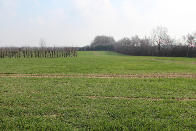
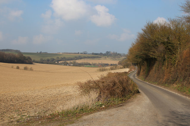
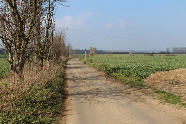
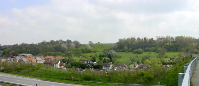
Borden Hill is a small village located in the county of Kent, England. It is situated in the borough of Swale and lies approximately 3 miles northeast of the town of Sittingbourne. The village is nestled amidst picturesque countryside and is known for its scenic views and tranquil atmosphere.

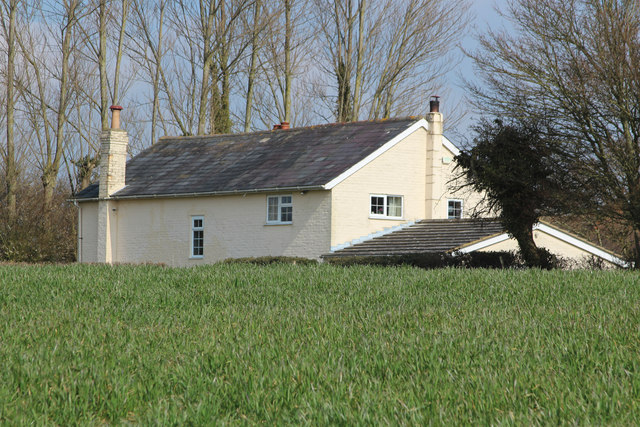
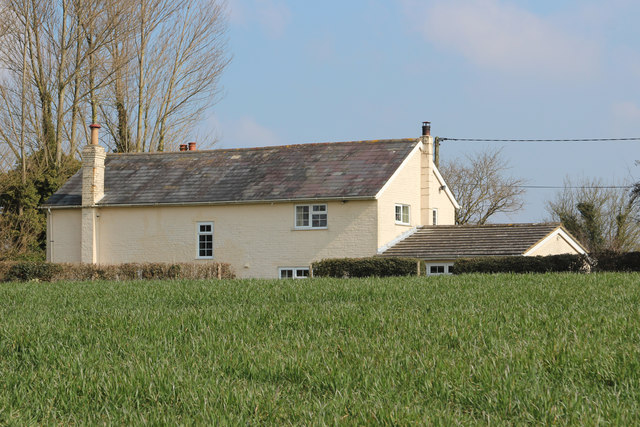
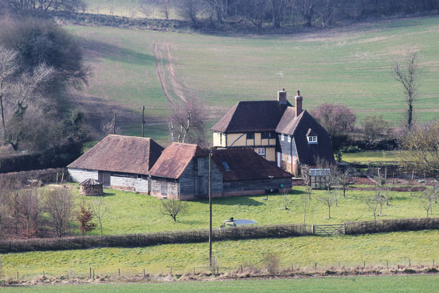
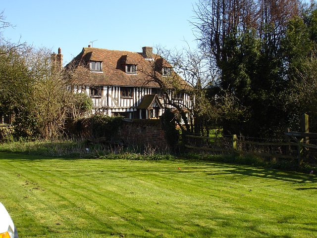
Borden Hill is a close-knit community with a population of around 1,000 residents. The village is primarily residential, with a mix of both modern and traditional houses. The architecture reflects the village's rich history, with some buildings dating back several centuries.

Despite its small size, Borden Hill benefits from a range of amenities and services. These include a primary school, a village hall, a local convenience store, and a pub. The village also has a church, St. Peter and St. Paul, which is a prominent landmark in the area.

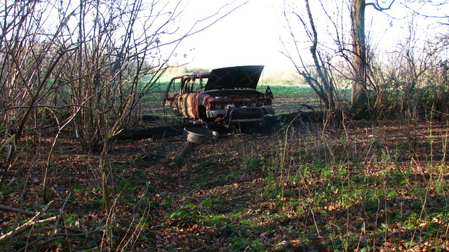
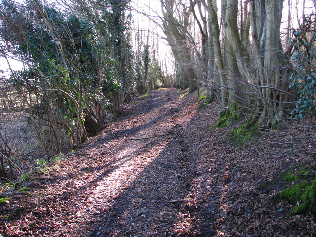
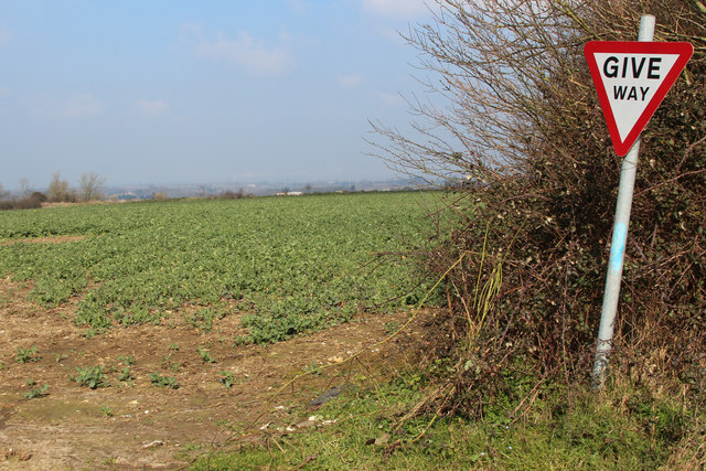
The surrounding countryside offers plenty of opportunities for outdoor activities, such as walking, cycling, and horse riding. Many residents and visitors take advantage of the nearby Borden Wood, which is a designated nature reserve boasting diverse flora and fauna.

Borden Hill enjoys good transportation links, with the A249 road passing nearby, providing convenient access to Sittingbourne and other neighboring towns. The village is also serviced by regular bus routes, connecting it to the wider region.

Overall, Borden Hill is a picturesque village that offers a peaceful and idyllic lifestyle, making it an attractive place to live for those seeking a rural retreat in the heart of Kent.

If you have any feedback on the listing, please let us know in the comments section below.

Borden Hill Images

Images are sourced within 2km of 51.319016/0.66317565 or Grid Reference TQ8561. Thanks to Geograph Open Source API. All images are credited.

Unmapped steps These steps down from Wormdale Hill road towards Danaway are not shown on either the 1:25000 or 1:50000 Ordnance Survey (nor Google) maps. From their nature it is suspected that they were installed as part of the expansion of the A249.
Unmapped steps
These steps down from Wormdale Hill road towards Danaway are not shown on either the 1:25000 or 1:50000 Ordnance Survey (nor Google) maps. From their nature it is suspected that they were installed as part of the expansion of the A249.
Footpath into Church Wood Effectively blocked against vehicle entry by a burned out wreck atop a log (which likely stopped its progress).
Footpath into Church Wood
Effectively blocked against vehicle entry by a burned out wreck atop a log (which likely stopped its progress).
Southern Entrance to Church Wood The footpath is very overgrown, and without compass or GPS impossible to follow when exiting the wood from the north.
Southern Entrance to Church Wood
The footpath is very overgrown, and without compass or GPS impossible to follow when exiting the wood from the north.
Unmapped Pillbox by Stockbury Roundabout Pillbox not shown on Ordnance Survey maps.
Unmapped Pillbox by Stockbury Roundabout
Pillbox not shown on Ordnance Survey maps.
Amels Hill Track Apparently ancient track leading down from Stockbury.
Amels Hill Track
Apparently ancient track leading down from Stockbury.
Hayes Lane Hayes Lane walking south
Hayes Lane
Hayes Lane walking south
Woodgate Oast, Woodgate Lane, Oad Street Two round kiln oast house. Partially converted to accommodation in early 2000s. Has permission to convert to a ten bedroom hotel.
Woodgate Oast, Woodgate Lane, Oad Street
Two round kiln oast house. Partially converted to accommodation in early 2000s. Has permission to convert to a ten bedroom hotel.
Footpath gate near M2
Field beside M2 M2 is hidden on the right.
Field beside M2
M2 is hidden on the right.
Large barn at Vinson Farm
Deans Bottom Farm
Deans Bottom Farm
Fields by South Green
Cowstead Road
Cowstead Road
Give Way sign at Cowstead Road & Bull Lane junction
Hill Green Road, Stockbury
Show me another place!

Borden Hill is located at Grid Ref: TQ8561 (Lat: 51.319016, Lng: 0.66317565)

Administrative County: Kent

District: Maidstone

Police Authority: Kent

What 3 Words

///baroness.superbly.status. Near Newington, Kent

Nearby Locations

Borden Hill Chestnut Wood

Related Wikis

Stockbury

Stockbury is a village and civil parish in the Maidstone district of Kent, England. The population of the civil parish at the Census 2011 was 691.In 1800...

St Mary Magdalene Church, Stockbury

St Mary Magdalene is a parish church in Stockbury, Kent built in the late 12th century with additions in the 13th and 15th centuries and restoration in...

Oad Street

Oad Street is a small hamlet in the English county of Kent.Oad Street forms part of the civil parish of Borden which, in turn, is part of Swale district...

Stiff Street

Stiff Street is a hamlet almost on the M2 motorway, near the village of Bredgar, in the Swale District, in the English county of Kent. The nearest town...

Danaway

Danaway is a village near the A249 road and the M2 motorway, in the Swale district, in the English county of Kent. The nearest town is Sittingbourne. It...

Stockbury Hill Wood

Stockbury Hill Wood is a 5-hectare (12-acre) nature reserve near Stockbury, north-east of Maidstone in Kent. It is managed by the Kent Wildlife Trust...

Bredgar Hoard

The Bredgar Hoard is a Roman coin hoard found in Bredgar, Kent in 1957. It consisted of 34 gold aurei, the latest of which were from 41 to 42 AD. The coins...

Bredgar

Bredgar is a village and civil parish in the Borough of Swale, Kent, England. == Location == The village lies to the southwest of Sittingbourne on the...

Nearby Amenities

Located within 500m of 51.319016,0.66317565
Norton Green
Building: yes
Source: npe
Lat/Long: 51.3178075/0.6568485
Pett Farm
Landuse: farm
Note Retag: CS #48756035
Source: npe
Lat/Long: 51.3185506/0.6628288
Little Pett Farm
Building: yes
Landuse: farm
Note Retag: CS #48756035
Source: npe
Wikidata: Q26586805
Lat/Long: 51.3168772/0.6681913
Bus Stop
Pett Farm
Local Ref: opp
Naptan AtcoCode: 2400A038210A
Naptan Bearing: SE
Naptan BusStopType: CUS
Naptan CommonName: Pett Farm
Naptan Indicator: opp
Naptan Landmark: Pett Farm
Naptan NaptanCode: kntdpdwj
Naptan RevisionNumber: 4
Naptan Status: act
Naptan Street: Pett Farm
Naptan Verified: no
Public Transport: platform
Ref: kntdpdwj
Sign: no
Source: naptan_import
Source Date: 2014-02-03
Lat/Long: 51.3183494/0.6637111
Post Box
Ref: ME9 95
Lat/Long: 51.3189446/0.6631492
Barrier: kissing_gate
Foot: yes
Lat/Long: 51.3193008/0.6630022
Barrier: kissing_gate
Foot: yes
Source: survey
Lat/Long: 51.3187731/0.6671955
Barrier: kissing_gate
Foot: yes
Lat/Long: 51.3194862/0.6635128
Generator Method: photovoltaic
Generator Output Electricity: yes
Generator Source: solar
Generator Type: solar_photovoltaic_panel
Location: roof
Power: generator
Lat/Long: 51.3174312/0.6565189
Generator Method: photovoltaic
Generator Output Electricity: yes
Generator Source: solar
Generator Type: solar_photovoltaic_panel
Location: roof
Power: generator
Lat/Long: 51.3174304/0.6564653
The data included in this document is from www.openstreetmap.org. The data is made available under ODbL.

Have you been to Borden Hill?

Leave your review of Borden Hill below (or comments, questions and feedback).