Bonjedward

Settlement in Roxburghshire

Scotland

Bonjedward

Service station on Edinburgh Road (A68), Jedburgh
Service station on Edinburgh Road (A68), Jedburgh Credit: JThomas

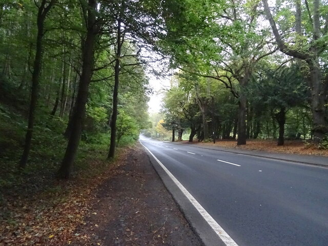
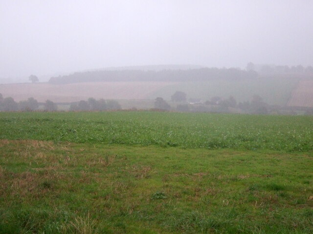
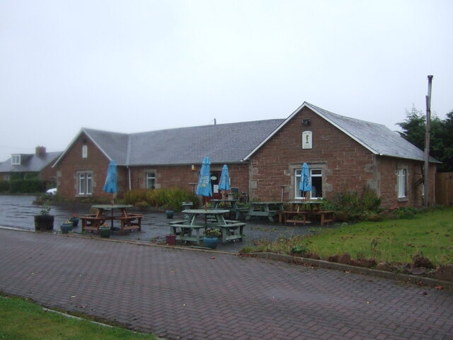
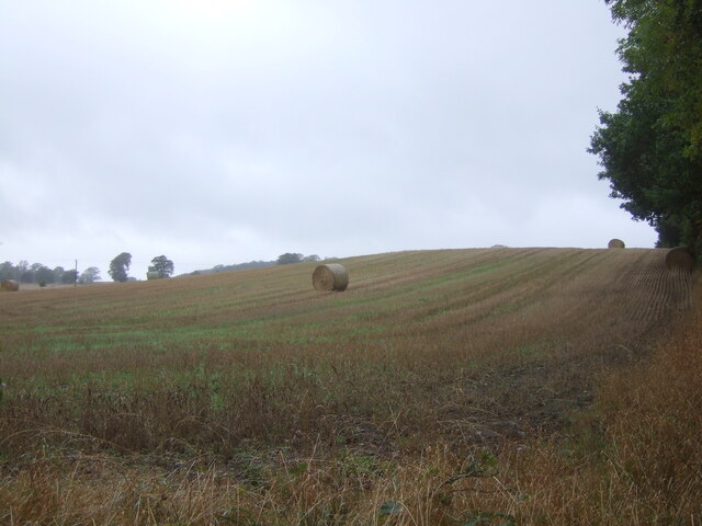
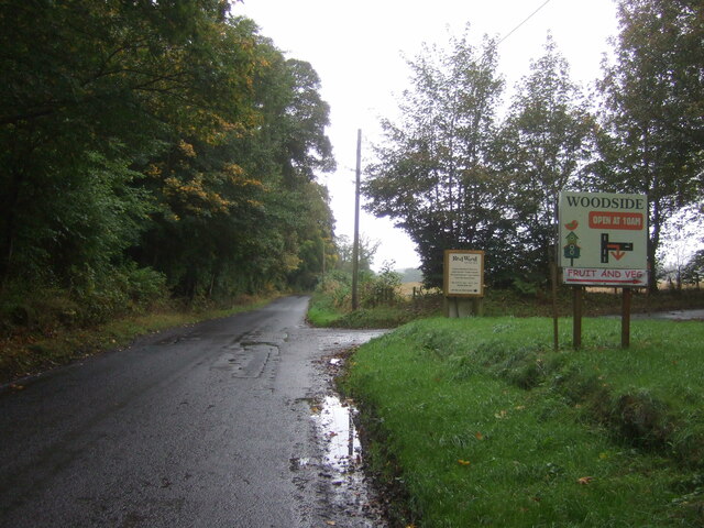
Bonjedward is a small village located in the Scottish Borders region of Roxburghshire, in the southeastern part of Scotland. Situated about 2 miles southeast of Jedburgh, the village is nestled in a picturesque rural setting surrounded by rolling hills and farmland.

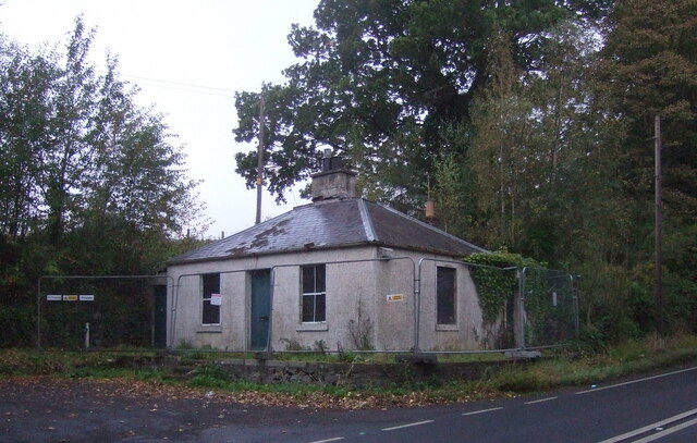
Historically, Bonjedward was a hamlet associated with the nearby Bonjedward House, a grand mansion built in the 18th century. The house, sadly demolished in the 1960s, was known for its beautiful gardens and served as a residence for the Oliver family. Today, only remnants of the original structure remain.

The village itself is quite small, with a population of around 100 residents. It primarily consists of a scattering of traditional stone houses, some dating back several centuries. The peaceful and tranquil atmosphere is one of the village's defining characteristics.

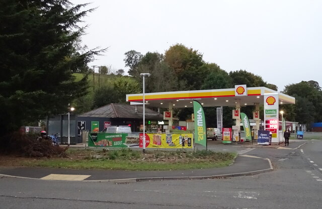
Although Bonjedward is a quiet village, it benefits from its close proximity to the larger town of Jedburgh, which provides access to essential amenities such as shops, schools, and healthcare facilities. Additionally, the village is surrounded by scenic countryside, making it an attractive destination for nature lovers and outdoor enthusiasts.

Overall, Bonjedward offers a serene and idyllic setting for those seeking a peaceful rural lifestyle while remaining in close proximity to the conveniences of a larger town.

If you have any feedback on the listing, please let us know in the comments section below.
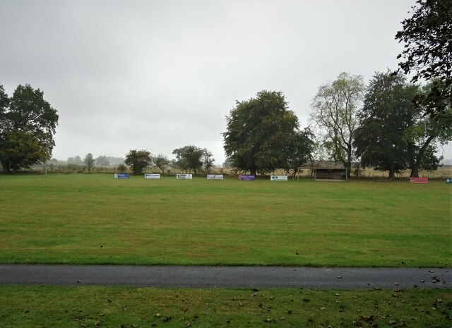
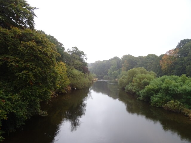
Bonjedward Images

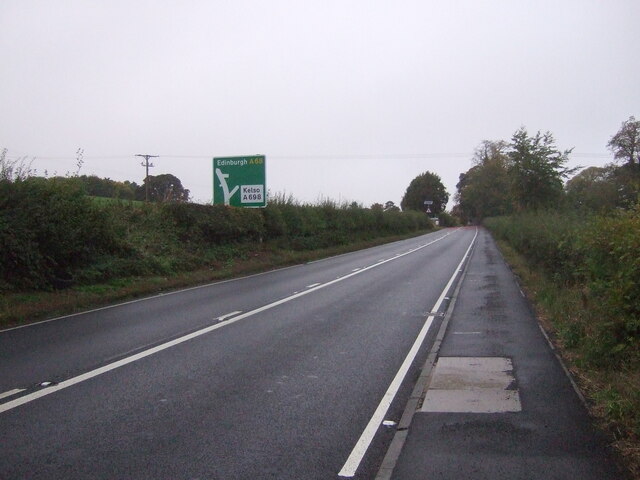
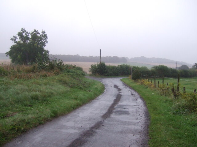
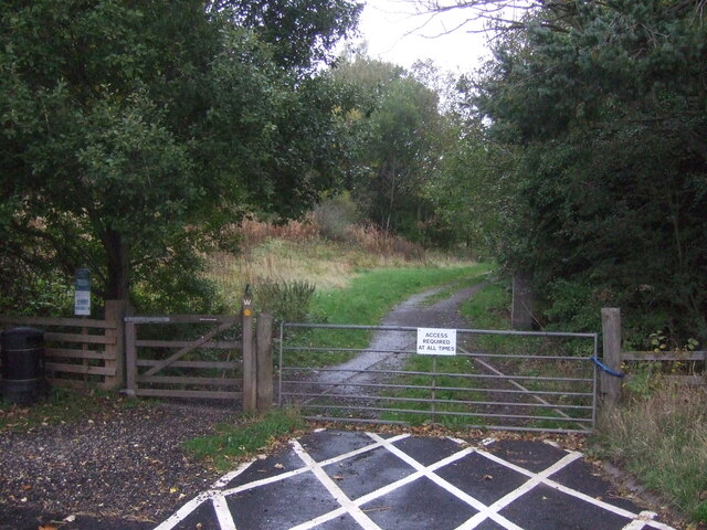
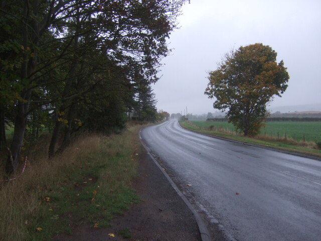
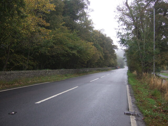
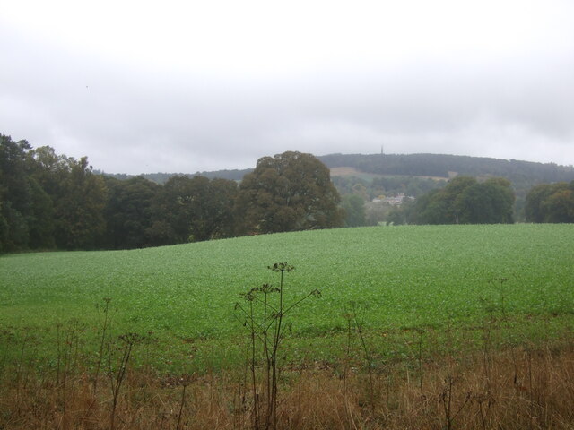
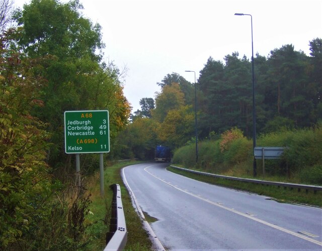
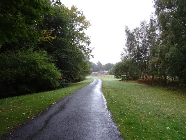
Images are sourced within 2km of 55.503504/-2.5468129 or Grid Reference NT6523. Thanks to Geograph Open Source API. All images are credited.

Service station on Edinburgh Road (A68), Jedburgh
A68 heading north from Jedburgh
Lodge on the A68 At the entrance to Bonjedward House.
Lodge on the A68
At the entrance to Bonjedward House.
Crop field, Bonjedward Off the A68 on a dreich day (hence lack of light and colour).
Crop field, Bonjedward
Off the A68 on a dreich day (hence lack of light and colour).
A68, Bonjedward Towards Edinburgh.
A68, Bonjedward
Towards Edinburgh.
Minor road, Jedfoot Bridge A back way into Jedburgh.
Minor road, Jedfoot Bridge
A back way into Jedburgh.
Track off the A698, Jedfoot Bridge Part of the Borders Abbeys Way path.
Track off the A698, Jedfoot Bridge
Part of the Borders Abbeys Way path.
A698, Jedfoot Bridge Towards Kelso.
A698, Jedfoot Bridge
Towards Kelso.
Café on the A698, Mounthooly
Stubble field and bales, Teviotdale Off the B6400.
Stubble field and bales, Teviotdale
Off the B6400.
B6400, Woodside Towards the A68.
B6400, Woodside
Towards the A68.
Sports fields, Ancrum
A68, Ancrum Towards Ancrum Bridge.
A68, Ancrum
Towards Ancrum Bridge.
Crop field and woodland, Jerdonfield Off the A68.
Crop field and woodland, Jerdonfield
Off the A68.
Jedburgh 3 Miles On the A68.
Jedburgh 3 Miles
On the A68.
Road to Monteviot House
Sports field, Ancrum
The River Teviot, Ancrum From the bridge on the A68.
The River Teviot, Ancrum
From the bridge on the A68.
Show me another place!

Bonjedward is located at Grid Ref: NT6523 (Lat: 55.503504, Lng: -2.5468129)

Unitary Authority: The Scottish Borders

Police Authority: The Lothians and Scottish Borders

What 3 Words

///tried.remarking.onwards. Near Jedburgh, Scottish Borders

Nearby Locations

Bonjedward

Related Wikis

Bonjedward

Bonjedward (Scottish Gaelic: Bun Jedward) is a hamlet in the Scottish Borders area of Scotland, two miles north of Jedburgh where the Jed Water joins the...

Jedfoot railway station

Jedfoot railway station served the town of Jedburgh, Scottish Borders, Scotland from 1856 to 1948 on the Jedburgh Railway. == History == The station opened...

Jed Water

The Jed Water is a river and a tributary of the River Teviot in the Borders region of Scotland. In total the Jed Water is over 21.75 miles (35.00 km) long...

Monteviot House

Monteviot House is the early 18th century home of the Marquess of Lothian, the politician better known as Michael Ancram. It is located on the River Teviot...

Nearby Amenities

Located within 500m of 55.503504,-2.5468129
Bonjedward
Place: hamlet
Lat/Long: 55.5038175/-2.545944
Post Box
Brand: Royal Mail
Brand Wikidata: Q638098
Note: Attached to phone box!
Operator: Royal Mail
Operator Wikidata: Q638098
Post Box Mounting: phone_box
Post Box Type: lamp
Ref: TD8 84
Royal Cypher: scottish_crown
Source: drive-by survey
Lat/Long: 55.5036928/-2.545446
Bus Stop
Bonjedward A68
Bench: no
Bus: yes
Departures Board: no
Lit: no
Local Ref: opp
Naptan AtcoCode: 6900167
Naptan Bearing: NW
Naptan CommonName: Bonjedward A68
Naptan Indicator: opp
Naptan NaptanCode: 72723473
Naptan Street: A68
Operator: Scottish Borders Council
Public Transport: platform
Ref: 6900167
Shelter: no
Source: local knowledge;survey;NaPTAN
Lat/Long: 55.5043271/-2.5465378
Bus Stop
Bonjedward A68
Bench: no
Bus: yes
Departures Board: no
Lit: no
Local Ref: nr
Naptan AtcoCode: 69001680
Naptan Bearing: S
Naptan CommonName: Bonjedward A68
Naptan Indicator: nr
Naptan NaptanCode: 72798936
Naptan Street: A68
Operator: Scottish Borders Council
Public Transport: platform
Ref: 69001680
Shelter: no
Source: local knowledge;survey;NaPTAN
Lat/Long: 55.503632/-2.5454084
Telephone
Booth: K6
Colour: blue
Covered: booth
Listed Status: Category B
Operator: BT
Operator Wikidata: Q593786
Source: survey
Wikidata: Q17836136
Lat/Long: 55.503693/-2.545435
Car Wash
The Auld Station
Automated: no
Self Service: no
Source: survey
Survey Date: 2022-05-14
Lat/Long: 55.5040006/-2.5456415
Material: wood
Power: pole
Lat/Long: 55.4993662/-2.5473164
Material: wood
Power: pole
Lat/Long: 55.4997687/-2.546446
Material: wood
Power: pole
Lat/Long: 55.5001654/-2.5455705
Material: wood
Power: pole
Lat/Long: 55.5006009/-2.54469
Power: pole
Lat/Long: 55.5010143/-2.5438037
Power: pole
Lat/Long: 55.5014331/-2.5428276
Power: pole
Lat/Long: 55.5018599/-2.5418658
Power: pole
Lat/Long: 55.5022949/-2.5409471
Power: pole
Lat/Long: 55.5027278/-2.5399854
Power: pole
Lat/Long: 55.5033294/-2.5394435
Power: pole
Lat/Long: 55.5039514/-2.5389267
Give Way
Direction: forward
Lat/Long: 55.5052751/-2.5441481
Old School
Place: isolated_dwelling
Lat/Long: 55.5055836/-2.5445439
Jedneuk
Place: hamlet
Lat/Long: 55.5031512/-2.5442483
The Whinny
Place: isolated_dwelling
Lat/Long: 55.5002951/-2.5517624
Revolution
Self Service: yes
Shop: laundry
Lat/Long: 55.5041432/-2.5456078
Give Way
Direction: forward
Lat/Long: 55.5032467/-2.5452163
Give Way
Direction: forward
Lat/Long: 55.5037961/-2.5457462
Give Way
Direction: forward
Lat/Long: 55.5045346/-2.5466634
Power: pole
Lat/Long: 55.5001306/-2.5518911
Power: pole
Lat/Long: 55.4997135/-2.5480338
Power: pole
Lat/Long: 55.5004486/-2.5476926
Material: wood
Power: pole
Lat/Long: 55.5013032/-2.5472098
Material: wood
Power: pole
Lat/Long: 55.5021697/-2.5467209
Material: wood
Power: pole
Lat/Long: 55.5028958/-2.5463111
Power: pole
Lat/Long: 55.5036352/-2.5458966
Power: pole
Lat/Long: 55.5004807/-2.5478123
Power: pole
Lat/Long: 55.5010903/-2.5485282
Power: pole
Lat/Long: 55.50139/-2.5488848
Material: wood
Power: pole
Lat/Long: 55.501837/-2.5459867
Material: wood
Power: pole
Lat/Long: 55.5015264/-2.5453043
Power: pole
Lat/Long: 55.5010466/-2.5441893
Power: pole
Lat/Long: 55.5006192/-2.5432572
Power: pole
Lat/Long: 55.5001219/-2.5421397
Power: pole
Lat/Long: 55.5023723/-2.5391424
Power: pole
Lat/Long: 55.501646/-2.539642
Power: pole
Lat/Long: 55.5046021/-2.5463626
Power: pole
Lat/Long: 55.5052933/-2.5459687
Power: pole
Lat/Long: 55.5060866/-2.5454974
Power: pole
Lat/Long: 55.5069018/-2.5450391
Power: pole
Lat/Long: 55.5076134/-2.5444468
Cafe
The Auld Station
Lat/Long: 55.5039925/-2.5453447
The data included in this document is from www.openstreetmap.org. The data is made available under ODbL.

Have you been to Bonjedward?

Leave your review of Bonjedward below (or comments, questions and feedback).