Bonhard Terrace
Settlement in West Lothian
Scotland
Bonhard Terrace
Bonhard Terrace is a residential street located in West Lothian, Scotland. It is situated in the small town of Linlithgow and is a popular residential area known for its peaceful atmosphere and picturesque surroundings.
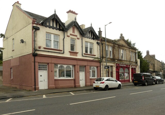
The street is lined with charming Victorian and Georgian-style houses, giving it a distinct character and appeal. The properties on Bonhard Terrace are well-maintained and offer a mix of detached and semi-detached houses, providing a range of housing options for residents.
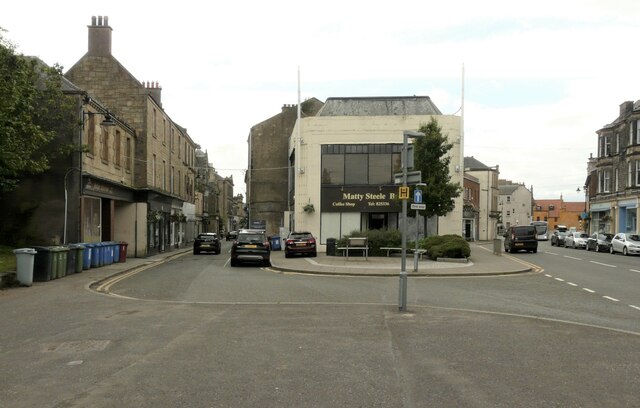
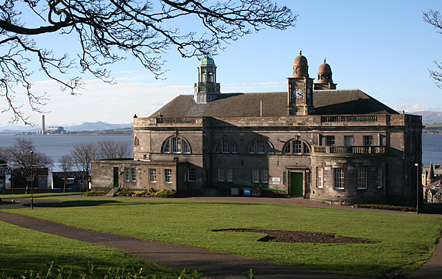
The area benefits from its proximity to Linlithgow town center, which is just a short walk away. This allows residents easy access to a variety of amenities, including shops, restaurants, cafes, and recreational facilities. The town is also home to Linlithgow Palace, a historic castle that attracts tourists from far and wide.
Bonhard Terrace boasts excellent transport links, making it an ideal location for commuters. Linlithgow railway station is within walking distance, providing regular services to Edinburgh, Glasgow, and other nearby towns. The town is also well-connected by road, with easy access to the M9 motorway, allowing for convenient travel throughout the Central Belt of Scotland.
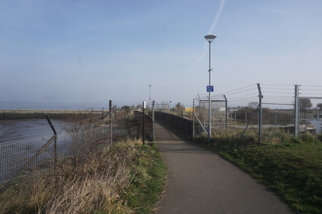
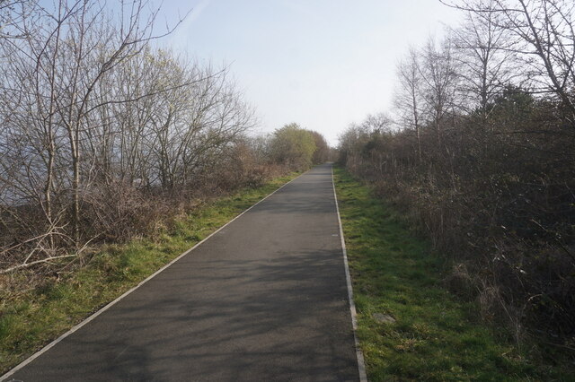
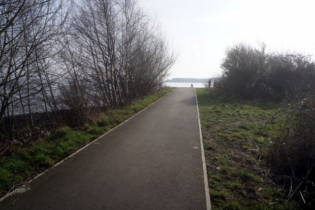
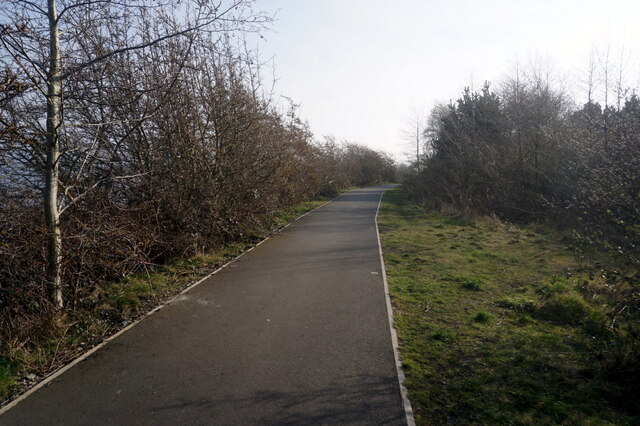
The area surrounding Bonhard Terrace is known for its natural beauty, with stunning countryside and scenic walks nearby. Residents can enjoy the tranquility of the surrounding landscape while still being within easy reach of urban amenities.
Overall, Bonhard Terrace offers a desirable residential location in West Lothian, combining a peaceful setting with convenient access to amenities and excellent transport links.
If you have any feedback on the listing, please let us know in the comments section below.
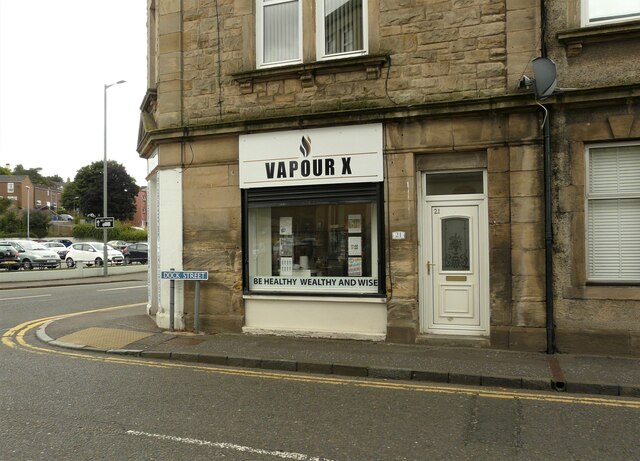
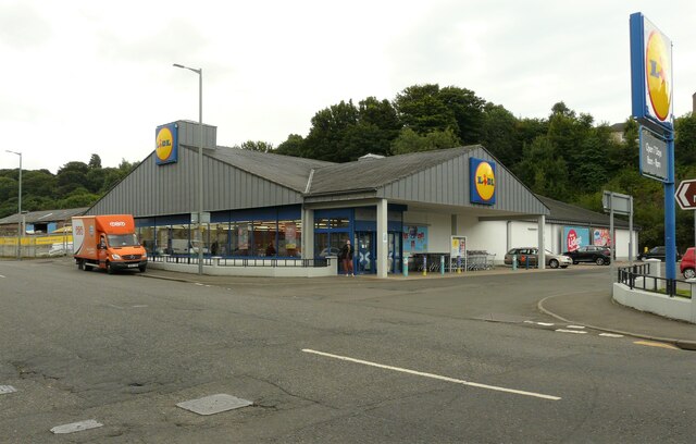
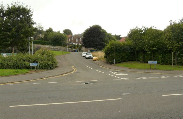
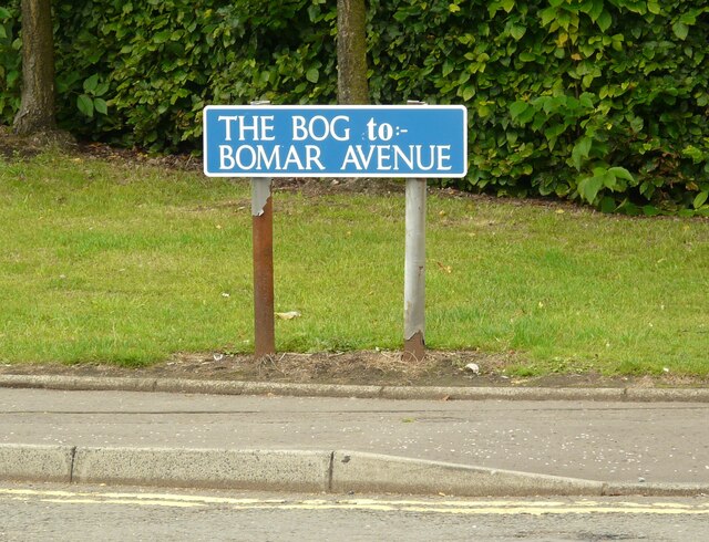
Bonhard Terrace Images
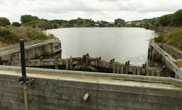
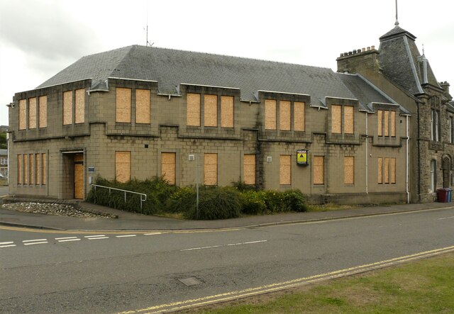
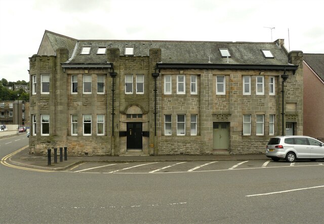
Images are sourced within 2km of 56.005607/-3.5974711 or Grid Reference NT0080. Thanks to Geograph Open Source API. All images are credited.
Bonhard Terrace is located at Grid Ref: NT0080 (Lat: 56.005607, Lng: -3.5974711)
Unitary Authority: Falkirk
Police Authority: Forth Valley
What 3 Words
///disengage.guarding.whom. Near Bo’ness, Falkirk
Nearby Locations
Related Wikis

Bo'ness Academy
Bo'ness Academy (BA) is a secondary school in Bo'ness, Falkirk, Scotland. The headteacher Ms Reid has been headteacher of Bo'ness Academy since 2019. The...

Newtown Park, Bo'ness
Newtown Park is a football ground in Bo'ness, Scotland. It is the home ground of Lowland League side Bo'ness United, and was previously the home ground...

Grange House
Grange House (also known as Grangepans, Grange, Old Grange, and Grange Hamilton) was an estate house near Bo'ness, West Lothian (now Falkirk council area...

Bonhard Castle
Bonhard Castle was an L-plan tower house, dating from the 16th century, around 1.5 miles (2.4 km) south east of Bo'ness, in West Lothian, Scotland. It...

Bo'ness Hospital
Bo'ness Hospital is a community hospital in Dean Road, Bo'ness, Scotland. It is managed by NHS Forth Valley. == History == The facility was established...
Bo'ness Town Hall
Bo'ness Town Hall is a municipal building in Stewart Avenue, Bo'ness, Scotland. The structure, which was the meeting place of Bo'ness Burgh Council, is...

Muirhouses, Falkirk
Muirhouses is a small village which lies in the Falkirk council area of Scotland. The village is located 1.1 miles (1.8 km) south-east of Bo'ness, 2.1...

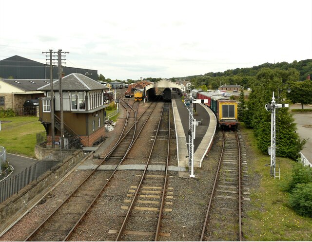
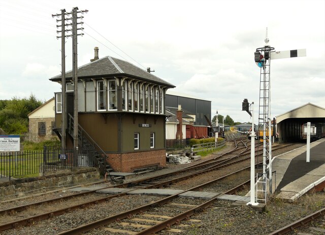
Bo'ness railway station
Bo'ness railway station is a heritage railway station in Bo'ness, Falkirk, Scotland. It is not the original Bo'ness railway station, which was located...
Nearby Amenities
Located within 500m of 56.005607,-3.5974711Have you been to Bonhard Terrace?
Leave your review of Bonhard Terrace below (or comments, questions and feedback).