Bole Hill

Settlement in Derbyshire North East Derbyshire

England

Bole Hill

Track at Nether Moor The track off Nethermoor Road is also a bridleway.
Track at Nether Moor Credit: Bill Boaden

Bole Hill is a picturesque hill located in the county of Derbyshire, England. Situated near the town of Wirksworth, it offers breathtaking views of the surrounding countryside and is a popular destination for nature lovers and hikers.

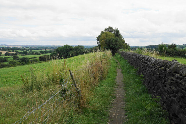
The hill itself is a prominent feature in the area, reaching an elevation of approximately 1,000 feet (305 meters). It is covered in lush green vegetation, including grasses, shrubs, and trees, creating a beautiful and serene environment for visitors to explore. The terrain is relatively gentle, making it accessible to people of all ages and fitness levels.

At the top of Bole Hill, there is a stone tower known as Bolehill Quarry. This tower was built in the 19th century and used as a quarry for limestone extraction. Today, it stands as a historic landmark, providing a glimpse into the region's industrial past.

The hill is also home to a variety of wildlife, including birds, rabbits, and foxes. Birdwatchers often visit Bole Hill to catch a glimpse of rare species that inhabit the area.

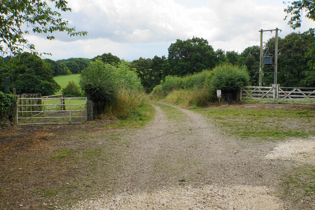
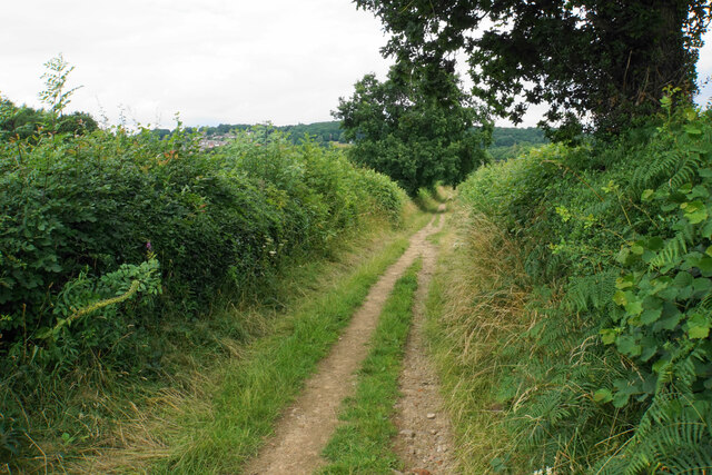
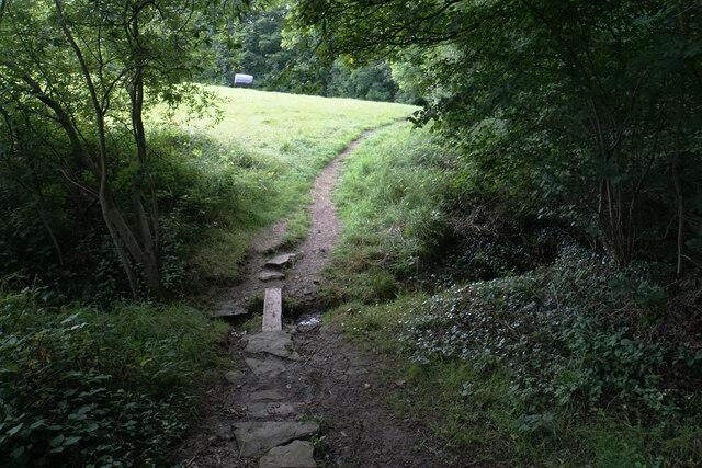
In addition to its natural beauty, Bole Hill offers several walking trails and footpaths that allow visitors to explore the surrounding countryside. The trails vary in difficulty, ranging from leisurely strolls to more challenging hikes, catering to all levels of fitness and outdoor enthusiasts. Bole Hill truly offers a tranquil and picturesque escape for those seeking to connect with nature in the heart of Derbyshire.

If you have any feedback on the listing, please let us know in the comments section below.
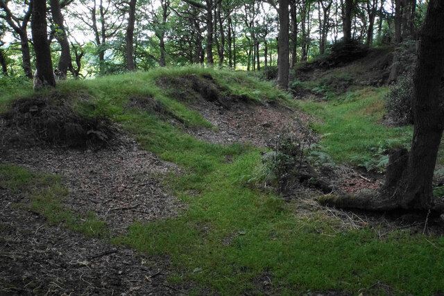
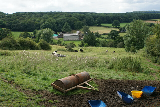
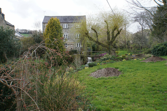
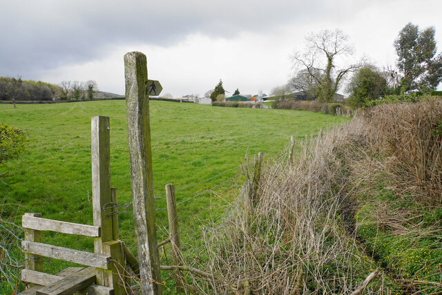
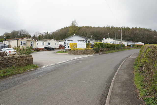
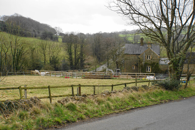
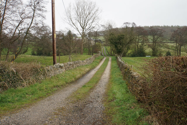
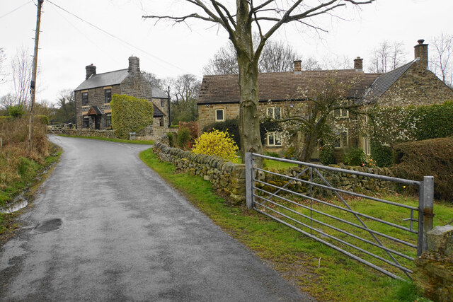
Bole Hill Images

Images are sourced within 2km of 53.185706/-1.456665 or Grid Reference SK3665. Thanks to Geograph Open Source API. All images are credited.

Track at Nether Moor The track off Nethermoor Road is also a bridleway.
Track at Nether Moor
The track off Nethermoor Road is also a bridleway.
Ford near Nether Moor The track crosses Tricket Brook. There is a footbridge on the right to avoid getting your feet wet.
Ford near Nether Moor
The track crosses Tricket Brook. There is a footbridge on the right to avoid getting your feet wet.
Wet field entrance Grazing land with Hardwick Wood in the background.
Wet field entrance
Grazing land with Hardwick Wood in the background.
Track above Nether Moor A steady climb up with not much to be seen because of the hedgerows.
Track above Nether Moor
A steady climb up with not much to be seen because of the hedgerows.
Track down to Nether Moor You can get a tiny glimpse of some houses in Wingerworth.
Track down to Nether Moor
You can get a tiny glimpse of some houses in Wingerworth.
Crossing of paths above Old Tupton In addition to the paths, of which this one and the route left are bridleways, there is field access.
Crossing of paths above Old Tupton
In addition to the paths, of which this one and the route left are bridleways, there is field access.
Path to Bole Hill The path skirts round the top of Hardwick Wood.
Path to Bole Hill
The path skirts round the top of Hardwick Wood.
Footpath to Bole Hill Crossing a small tributary of Tricket Brook at the top of Hardwick Wood.
Footpath to Bole Hill
Crossing a small tributary of Tricket Brook at the top of Hardwick Wood.
Footpath on the Bole Hill ridge Slowly descending towards Clay Cross.
Footpath on the Bole Hill ridge
Slowly descending towards Clay Cross.
Remains of former quarrying on Bole Hill Small scale activity as opposed to the bigger quarry further down the hill.
Remains of former quarrying on Bole Hill
Small scale activity as opposed to the bigger quarry further down the hill.
Farm paraphernalia above Carr House Farm Looking down from Bole Hill.
Farm paraphernalia above Carr House Farm
Looking down from Bole Hill.
Wingerworth Lido A longstanding artificial pool, which became a swimming pool in 1934. It is now used for fishing.
Wingerworth Lido
A longstanding artificial pool, which became a swimming pool in 1934. It is now used for fishing.
The Old Steam Mill Part of a collection of buildings around Woodthorpe. Most are now residential including holiday apartments. Press Brook flows past the mill building.
The Old Steam Mill
Part of a collection of buildings around Woodthorpe. Most are now residential including holiday apartments. Press Brook flows past the mill building.
Footpath to Woodthorpe Grange The farm is seen ahead.
Footpath to Woodthorpe Grange
The farm is seen ahead.
Brookfield Park A residential park of private park homes.
Brookfield Park
A residential park of private park homes.
Broomy Farm At the foot of the hills leading up to Alton.
Broomy Farm
At the foot of the hills leading up to Alton.
Track to Press Lane Farm Off Press Lane, with Press Brook flowing in the dip ahead.
Track to Press Lane Farm
Off Press Lane, with Press Brook flowing in the dip ahead.
Cottages on Press Lane On the climb up to Northedge.
Cottages on Press Lane
On the climb up to Northedge.
Show me another place!

Bole Hill is located at Grid Ref: SK3665 (Lat: 53.185706, Lng: -1.456665)

Administrative County: Derbyshire

District: North East Derbyshire

Police Authority: Derbyshire

What 3 Words

///first.head.presenter. Near Wingerworth, Derbyshire

Nearby Locations

Bole Hill Press

Related Wikis

Nearby Amenities

Located within 500m of 53.185706,-1.456665
Press
Is In: Derbyshire, England, UK
Place: village
Lat/Long: 53.1825142/-1.4514214
Barrier: stile
Steps: 1
Stile: stepover
Lat/Long: 53.1879936/-1.4616517
Barrier: stile
Steps: 1
Stile: stepover
Lat/Long: 53.1833507/-1.4512075
Barrier: stile
Steps: 1
Stile: stepover
Lat/Long: 53.1825534/-1.452289
Information: route_marker
Tourism: information
Lat/Long: 53.1883754/-1.4509833
Barrier: stile
Stile: squeezer
Lat/Long: 53.1871151/-1.4550544
Barrier: stile
Steps: 1
Stile: stepover
Lat/Long: 53.1889534/-1.4558727
Barrier: stile
Material: wood
Steps: 1
Stile: stepover
Lat/Long: 53.1891855/-1.4562742
Barrier: stile
Material: stone
Stile: squeezer
Lat/Long: 53.1887208/-1.4590177
Barrier: stile
Steps: 0
Stile: stepover
Lat/Long: 53.1887099/-1.4590353
Barrier: stile
Steps: 2
Stile: stepover
Lat/Long: 53.1876266/-1.460468
Barrier: stile
Stile: squeezer
Lat/Long: 53.1846317/-1.4533265
Barrier: stile
Stile: squeezer
Lat/Long: 53.18513/-1.4535269
Barrier: stile
Steps: 1
Stile: stepover
Lat/Long: 53.1859223/-1.4538682
Barrier: stile
Stile: squeezer
Lat/Long: 53.1870743/-1.4548801
Barrier: stile
Steps: 1
Stile: stepover
Lat/Long: 53.1886166/-1.4613405
Barrier: stile
Stile: squeezer
Lat/Long: 53.189149/-1.4594712
Ele: 223
Lat/Long: 53.1884752/-1.4508384
Barrier: stile
Steps: 1
Stile: stepover
Lat/Long: 53.187503/-1.4606493
Barrier: stile
Note: This really is freestanding in a field
Steps: 1
Stile: stepover
Lat/Long: 53.1890486/-1.4594504
Information: route_marker
Tourism: information
Lat/Long: 53.1862121/-1.4568446
Barrier: stile
Source: survey;gps
Stile: squeezer
Lat/Long: 53.188362/-1.4509935
Barrier: stile
Material: stone
Source: survey;gps
Stile: squeezer
Lat/Long: 53.1889603/-1.4558834
Information: route_marker
Tourism: information
Lat/Long: 53.1883516/-1.4510012
Information: route_marker
Tourism: information
Lat/Long: 53.1861815/-1.4571401
Information: route_marker
Tourism: information
Lat/Long: 53.1875404/-1.4607395
Information: route_marker
Tourism: information
Lat/Long: 53.1876461/-1.4605181
Information: route_marker
Tourism: information
Lat/Long: 53.1861322/-1.4567439
Information: route_marker
Tourism: information
Lat/Long: 53.1862052/-1.4572474
Information: route_marker
Tourism: information
Lat/Long: 53.1891232/-1.4594843
Information: route_marker
Tourism: information
Lat/Long: 53.1879877/-1.4616548
Information: route_marker
Tourism: information
Lat/Long: 53.1879451/-1.4615393
The data included in this document is from www.openstreetmap.org. The data is made available under ODbL.

Have you been to Bole Hill?

Leave your review of Bole Hill below (or comments, questions and feedback).