Blymhill Common

Settlement in Staffordshire South Staffordshire

England

Blymhill Common

View east of the B5314 at Plough Bank The large building in the middle distance is a centre for the distribution of agricultural produce.
View east of the B5314 at Plough Bank Credit: Christopher Hilton

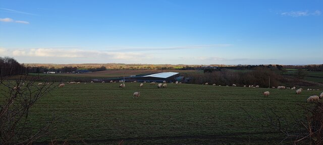
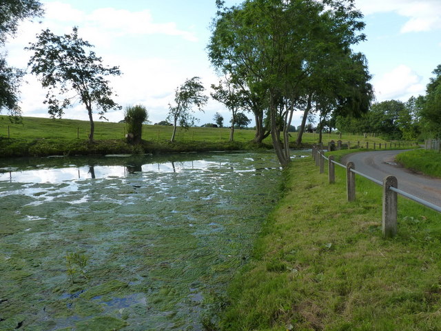
Blymhill Common is a picturesque rural area located in the county of Staffordshire, England. Situated near the village of Blymhill, this common is known for its natural beauty and tranquil surroundings. Covering an area of approximately 300 acres, it offers visitors a chance to escape the hustle and bustle of everyday life and immerse themselves in nature.

The common is characterized by its diverse landscape, featuring rolling hills, expansive meadows, and dense woodlands. It is home to a wide variety of plant and animal species, making it a haven for nature enthusiasts and wildlife lovers. Visitors can spot an array of bird species, including buzzards, kestrels, and skylarks, as well as small mammals such as rabbits and foxes.

For those interested in history, Blymhill Common also holds cultural significance. The remains of a medieval moated site, believed to be the site of Blymhill Old Hall, can be found in the southeastern corner of the common. These historic remnants provide a glimpse into the area's past and offer a sense of nostalgia.

Blymhill Common is a popular destination for outdoor activities such as walking, picnicking, and photography. It offers several footpaths and bridleways, allowing visitors to explore the area at their own pace. The breathtaking views and peaceful atmosphere make it an ideal spot for a leisurely stroll or a family outing.

Overall, Blymhill Common is a hidden gem in Staffordshire, offering a tranquil escape into nature and a glimpse into the area's rich history. It is a must-visit destination for anyone seeking a serene and picturesque countryside experience.

If you have any feedback on the listing, please let us know in the comments section below.

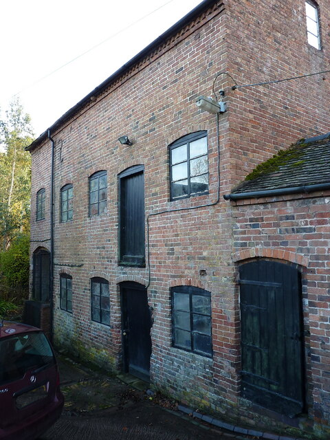
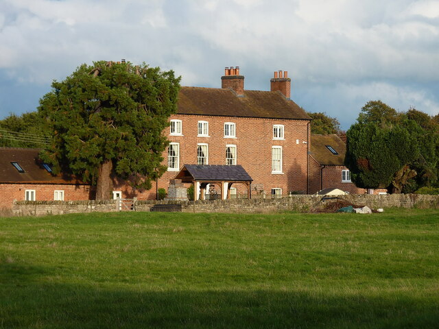
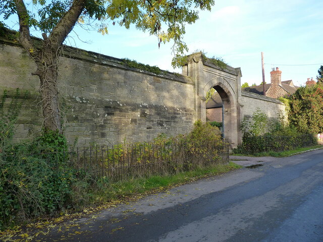
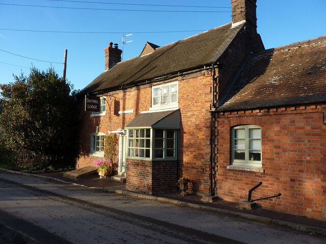
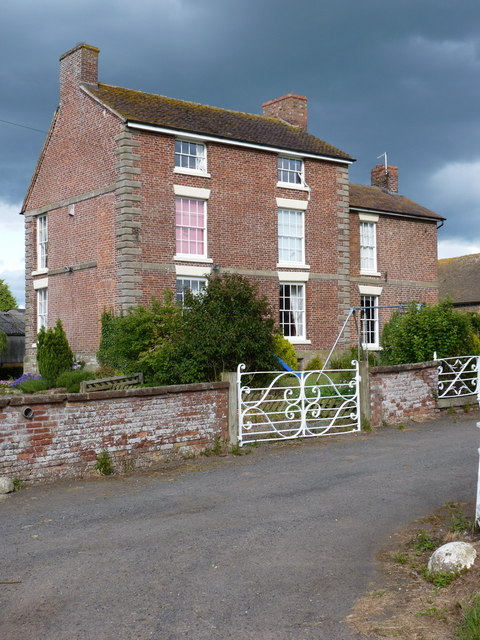
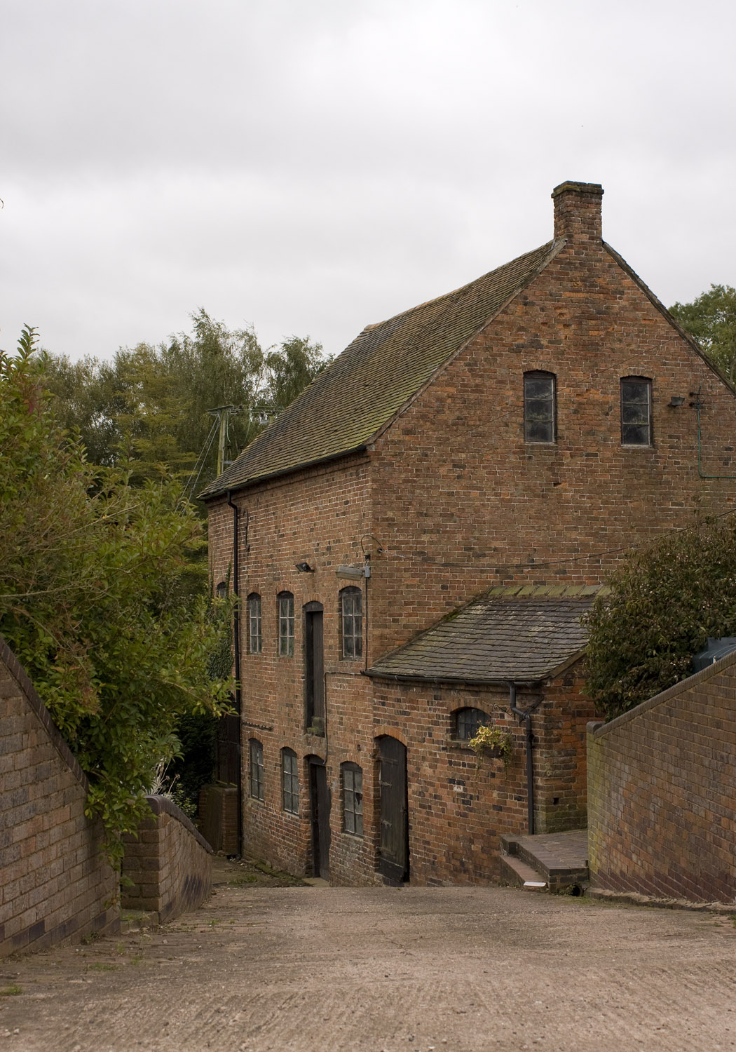
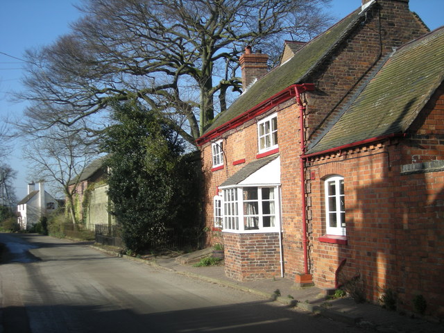
Blymhill Common Images

Images are sourced within 2km of 52.713497/-2.316822 or Grid Reference SJ7812. Thanks to Geograph Open Source API. All images are credited.

View east of the B5314 at Plough Bank The large building in the middle distance is a centre for the distribution of agricultural produce.
View east of the B5314 at Plough Bank
The large building in the middle distance is a centre for the distribution of agricultural produce.
Old Milestone by B5314, New House Farm The Milestone is located at crossroads.  Parish of Sheriffhales (Bridgnorth District). Cast iron post, Salop iron T-post design, erected by the County Council in the 19/20th Century. An earlier photograph can be found here: <a title="https://www.geograph.org.uk/photo/6098953" href="https://www.geograph.org.uk/photo/6098953">Link</a> 

Inscription reads:-  
TO / NEWPORT / 5 MILES : : TO / IVETSEY / BANK / 3 MILES 

Milestone Society National ID: SA_NPIV05
Old Milestone by B5314, New House Farm
The Milestone is located at crossroads.  Parish of Sheriffhales (Bridgnorth District). Cast iron post, Salop iron T-post design, erected by the County Council in the 19/20th Century. An earlier photograph can be found here: Link  Inscription reads:- TO / NEWPORT / 5 MILES : : TO / IVETSEY / BANK / 3 MILES Milestone Society National ID: SA_NPIV05
Byre and hayloft at Court Farm, Chatwell A building of two distinct vintages. The far end, timber-framed, is 17th century whilst the nearer part is much more like 19th century in origin, and has been more changed over the years. The whole structure was Grade II listed <span class="nowrap"><a title="https://historicengland.org.uk/listing/the-list/list-entry/1053644" rel="nofollow ugc noopener" href="https://historicengland.org.uk/listing/the-list/list-entry/1053644">Link</a><img style="margin-left:2px;" alt="External link" title="External link - shift click to open in new window" src="https://s1.geograph.org.uk/img/external.png" width="10" height="10"/></span> & <span class="nowrap"><a title="https://britishlistedbuildings.co.uk/101053644-byre-and-hayloft-approximately-20-metres-to-south-east-of-court-farmhouse-sheriffhales" rel="nofollow ugc noopener" href="https://britishlistedbuildings.co.uk/101053644-byre-and-hayloft-approximately-20-metres-to-south-east-of-court-farmhouse-sheriffhales">Link</a><img style="margin-left:2px;" alt="External link" title="External link - shift click to open in new window" src="https://s1.geograph.org.uk/img/external.png" width="10" height="10"/></span> in 1984.
Byre and hayloft at Court Farm, Chatwell
A building of two distinct vintages. The far end, timber-framed, is 17th century whilst the nearer part is much more like 19th century in origin, and has been more changed over the years. The whole structure was Grade II listed LinkExternal link & LinkExternal link in 1984.
Grange Farmhouse near Chatwell Beneath the 19th century brick refacing lies a much older (17th century?) timber framed farmhouse, which was extended in the 1730s. It was Grade II listed <span class="nowrap"><a title="https://historicengland.org.uk/listing/the-list/list-entry/1053643" rel="nofollow ugc noopener" href="https://historicengland.org.uk/listing/the-list/list-entry/1053643">Link</a><img style="margin-left:2px;" alt="External link" title="External link - shift click to open in new window" src="https://s1.geograph.org.uk/img/external.png" width="10" height="10"/></span> & <span class="nowrap"><a title="https://britishlistedbuildings.co.uk/101053643-grange-farmhouse-sheriffhales" rel="nofollow ugc noopener" href="https://britishlistedbuildings.co.uk/101053643-grange-farmhouse-sheriffhales">Link</a><img style="margin-left:2px;" alt="External link" title="External link - shift click to open in new window" src="https://s1.geograph.org.uk/img/external.png" width="10" height="10"/></span> in 1984.
Grange Farmhouse near Chatwell
Beneath the 19th century brick refacing lies a much older (17th century?) timber framed farmhouse, which was extended in the 1730s. It was Grade II listed LinkExternal link & LinkExternal link in 1984.
Chadwell Mill building A 19th century water-driven grain mill, currently containing a remarkably-complete set of interior machinery and waterwheel. It was Grade II listed <span class="nowrap"><a title="https://britishlistedbuildings.co.uk/101367627-chadwell-mill-sheriffhales" rel="nofollow ugc noopener" href="https://britishlistedbuildings.co.uk/101367627-chadwell-mill-sheriffhales">Link</a><img style="margin-left:2px;" alt="External link" title="External link - shift click to open in new window" src="https://s1.geograph.org.uk/img/external.png" width="10" height="10"/></span> & <span class="nowrap"><a title="https://historicengland.org.uk/listing/the-list/list-entry/1367627" rel="nofollow ugc noopener" href="https://historicengland.org.uk/listing/the-list/list-entry/1367627">Link</a><img style="margin-left:2px;" alt="External link" title="External link - shift click to open in new window" src="https://s1.geograph.org.uk/img/external.png" width="10" height="10"/></span> in 1984, and at the time of my visit in late 2022 the owner said it had been recently bought for conversion to a home. Hopefully much/all of the surviving machinery, which is mentioned in the listing, will be turned into interior features.
Chadwell Mill building
A 19th century water-driven grain mill, currently containing a remarkably-complete set of interior machinery and waterwheel. It was Grade II listed LinkExternal link & LinkExternal link in 1984, and at the time of my visit in late 2022 the owner said it had been recently bought for conversion to a home. Hopefully much/all of the surviving machinery, which is mentioned in the listing, will be turned into interior features.
Great Chatwell House farmhouse The core of this substantial rural farmhouse is 18th century, with a later additional bay on the right. It was Grade II listed <span class="nowrap"><a title="https://historicengland.org.uk/listing/the-list/list-entry/1178111" rel="nofollow ugc noopener" href="https://historicengland.org.uk/listing/the-list/list-entry/1178111">Link</a><img style="margin-left:2px;" alt="External link" title="External link - shift click to open in new window" src="https://s1.geograph.org.uk/img/external.png" width="10" height="10"/></span> & <span class="nowrap"><a title="https://britishlistedbuildings.co.uk/101178111-great-chatwell-house-farmhouse-and-attached-implement-shed-blymhill-and-weston-under-lizard" rel="nofollow ugc noopener" href="https://britishlistedbuildings.co.uk/101178111-great-chatwell-house-farmhouse-and-attached-implement-shed-blymhill-and-weston-under-lizard">Link</a><img style="margin-left:2px;" alt="External link" title="External link - shift click to open in new window" src="https://s1.geograph.org.uk/img/external.png" width="10" height="10"/></span> in 1985, along with the single-storey implement shed seen here to its left (which looks to have been converted to residential use)
Great Chatwell House farmhouse
The core of this substantial rural farmhouse is 18th century, with a later additional bay on the right. It was Grade II listed LinkExternal link & LinkExternal link in 1985, along with the single-storey implement shed seen here to its left (which looks to have been converted to residential use)
Chatwell Court screen and entrance wall This mid 19th century construction is thought to incorporate a section of an earlier house, but was mainly built to smarten up the approach to Chatwell Court house a distance to the rear. It was Grade II listed <span class="nowrap"><a title="https://britishlistedbuildings.co.uk/101374056-screen-and-entrance-wall-to-chatwell-court-driveway-blymhill-and-weston-under-lizard" rel="nofollow ugc noopener" href="https://britishlistedbuildings.co.uk/101374056-screen-and-entrance-wall-to-chatwell-court-driveway-blymhill-and-weston-under-lizard">Link</a><img style="margin-left:2px;" alt="External link" title="External link - shift click to open in new window" src="https://s1.geograph.org.uk/img/external.png" width="10" height="10"/></span> & <span class="nowrap"><a title="https://historicengland.org.uk/listing/the-list/list-entry/1374056" rel="nofollow ugc noopener" href="https://historicengland.org.uk/listing/the-list/list-entry/1374056">Link</a><img style="margin-left:2px;" alt="External link" title="External link - shift click to open in new window" src="https://s1.geograph.org.uk/img/external.png" width="10" height="10"/></span> in 1985, and has recently been opened up by the removal of the large tree that overhung it a few years ago <a href="https://www.geograph.org.uk/photo/2462206">SJ7914 : A grand entrance</a>
Chatwell Court screen and entrance wall
This mid 19th century construction is thought to incorporate a section of an earlier house, but was mainly built to smarten up the approach to Chatwell Court house a distance to the rear. It was Grade II listed LinkExternal link & LinkExternal link in 1985, and has recently been opened up by the removal of the large tree that overhung it a few years ago SJ7914 : A grand entrance
Chadwell/Chatwell Lodge The maps and other sources are in slight disagreement about the exact spelling, but either way this was once The Cock Inn, lying pretty much right opposite <a href="https://www.geograph.org.uk/photo/5235506">SJ7914 : The Red Lion, Great Chatwell</a>. It dates from the early 18th century, with later alterations, and was Grade II listed <span class="nowrap"><a title="https://britishlistedbuildings.co.uk/101374055-chatwell-lodge-blymhill-and-weston-under-lizard" rel="nofollow ugc noopener" href="https://britishlistedbuildings.co.uk/101374055-chatwell-lodge-blymhill-and-weston-under-lizard">Link</a><img style="margin-left:2px;" alt="External link" title="External link - shift click to open in new window" src="https://s1.geograph.org.uk/img/external.png" width="10" height="10"/></span> & <span class="nowrap"><a title="https://historicengland.org.uk/listing/the-list/list-entry/1374055" rel="nofollow ugc noopener" href="https://historicengland.org.uk/listing/the-list/list-entry/1374055">Link</a><img style="margin-left:2px;" alt="External link" title="External link - shift click to open in new window" src="https://s1.geograph.org.uk/img/external.png" width="10" height="10"/></span> in 1985.
Chadwell/Chatwell Lodge
The maps and other sources are in slight disagreement about the exact spelling, but either way this was once The Cock Inn, lying pretty much right opposite SJ7914 : The Red Lion, Great Chatwell. It dates from the early 18th century, with later alterations, and was Grade II listed LinkExternal link & LinkExternal link in 1985.
The upper millpool at Chadwell The lower, larger pool is blessed hard to get to - surrounded by dense vegetation, and fenced off from the road to boot.
The upper millpool at Chadwell
The lower, larger pool is blessed hard to get to - surrounded by dense vegetation, and fenced off from the road to boot.
Chadwell Court A large and well-kept Georgian farmhouse at Chadwell; it dates from the mid 18th century and was Grade II listed <span class="nowrap"><a title="https://britishlistedbuildings.co.uk/101367626-court-farmhouse-sheriffhales" rel="nofollow ugc noopener" href="https://britishlistedbuildings.co.uk/101367626-court-farmhouse-sheriffhales">Link</a><img style="margin-left:2px;" alt="External link" title="External link - shift click to open in new window" src="https://s1.geograph.org.uk/img/external.png" width="10" height="10"/></span> & <span class="nowrap"><a title="https://historicengland.org.uk/listing/the-list/list-entry/1367626" rel="nofollow ugc noopener" href="https://historicengland.org.uk/listing/the-list/list-entry/1367626">Link</a><img style="margin-left:2px;" alt="External link" title="External link - shift click to open in new window" src="https://s1.geograph.org.uk/img/external.png" width="10" height="10"/></span> in 1984.
Chadwell Court
A large and well-kept Georgian farmhouse at Chadwell; it dates from the mid 18th century and was Grade II listed LinkExternal link & LinkExternal link in 1984.
Chadwell Grange house
The Red Lion pub Stripped of its coat of ivy since <a href="https://www.geograph.org.uk/photo/349226">SJ7914 : The Red Lion, Great Chatwell</a> was taken in 2007; this pub seems to be doing better than many rural watering holes.
The Red Lion pub
Stripped of its coat of ivy since SJ7914 : The Red Lion, Great Chatwell was taken in 2007; this pub seems to be doing better than many rural watering holes.
A grand entrance The imposing wall, and fine entrance archway to Chatwell Court.
A grand entrance
The imposing wall, and fine entrance archway to Chatwell Court.
Disused mill at Great Chatwell
Chatwell Park Farm Set well back from the road, Chatwell Park Farm grows a wide variety of crops which are harvested by a business called PDM, whose trucks are regularly seen on the lanes in this area.
Chatwell Park Farm
Set well back from the road, Chatwell Park Farm grows a wide variety of crops which are harvested by a business called PDM, whose trucks are regularly seen on the lanes in this area.
House on Chatwell Lane
Red Brick Barn Most farm buildings in this area are made from red brick.
Red Brick Barn
Most farm buildings in this area are made from red brick.
Red Brick Storage Barn on T Junction
Show me another place!

Blymhill Common is located at Grid Ref: SJ7812 (Lat: 52.713497, Lng: -2.316822)

Administrative County: Staffordshire

District: South Staffordshire

Police Authority: Staffordshire

What 3 Words

///pints.panoramic.channel. Near Woodcote, Shropshire

Nearby Locations

Blymhill Common

Related Wikis

White Sitch

White Sitch is a 19th Century designed landscape by John Webb containing a picturesque reservoir in the middle, one mile west of Blymhill in Staffordshire...

Chadwell, Shropshire

Chadwell is a hamlet in the county of Shropshire, England. It lies 1/2 mile west of the village of Great Chatwell over the Staffordshire border and comprises...

Great Chatwell

Great Chatwell is a small village within the civil parish of Blymhill and Weston-under-Lizard, in the South Staffordshire district of Staffordshire, England...

Brineton

Brineton is a hamlet in Staffordshire, England. It is 3/4 mile north of the village of Blymhill, and is within the civil parish of Blymhill and Weston...

Bromsgrove Sandstone

The Bromsgrove Sandstone is a geologic formation of the Sherwood Sandstone Group in England. It preserves fossils and ichnofossils of Chirotherium barthii...

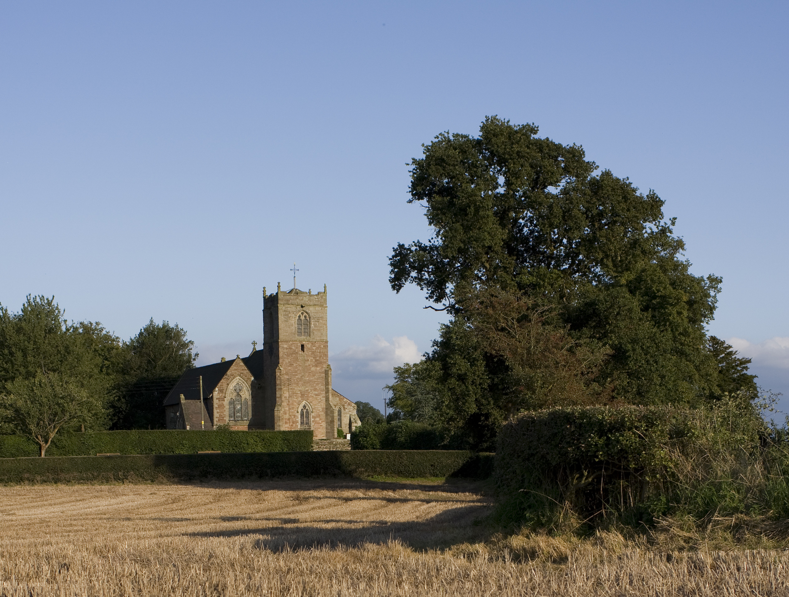
St Mary's Church, Blymhill

St. Mary's Church, Blymhill is an Anglican church in the village of Blymhill, Staffordshire, England (grid reference SJ808122). The building, which is...
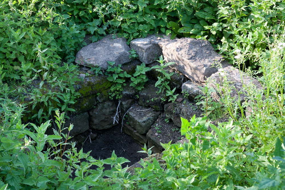
Elder Well

The Elder Well is a holy well located at Blymhill Marsh, close to the village of Blymhill, Staffordshire. It can be found among Elder trees on the north...

Blymhill and Weston-under-Lizard

Blymhill and Weston-under-Lizard is a civil parish in the South Staffordshire district of Staffordshire, near the border with Shropshire in England. According...

Nearby Amenities

Located within 500m of 52.713497,-2.316822
The data included in this document is from www.openstreetmap.org. The data is made available under ODbL.

Have you been to Blymhill Common?

Leave your review of Blymhill Common below (or comments, questions and feedback).