Blue Hill
Settlement in Nottinghamshire Rushcliffe
England
Blue Hill

Blue Hill is a small village located in the county of Nottinghamshire, in the East Midlands region of England. Situated approximately 10 miles southeast of the city of Nottingham, Blue Hill is nestled amongst picturesque countryside and rolling hills, offering a tranquil and idyllic setting for its residents.
The village itself is characterized by its charming and quaint atmosphere, with traditional stone-built houses and well-maintained gardens lining the streets. The community in Blue Hill is tight-knit, with a population of around 500 residents who enjoy a close bond and actively participate in local events and initiatives.
Despite its small size, Blue Hill boasts a range of amenities for its residents. There is a local primary school, which provides education for children in the area, and a village hall that serves as a focal point for social gatherings and community events. The village also has a pub, which offers a warm and welcoming environment for locals and visitors alike.
Surrounded by natural beauty, Blue Hill offers ample opportunities for outdoor activities and exploration. The nearby countryside provides scenic walking paths and cycling routes, allowing residents to immerse themselves in the stunning landscapes. Additionally, the village is within close proximity to several nature reserves and country parks, offering further opportunities for leisure and relaxation.
Overall, Blue Hill is a charming village that offers a peaceful and close-knit community, stunning natural surroundings, and a range of amenities for its residents to enjoy.
If you have any feedback on the listing, please let us know in the comments section below.
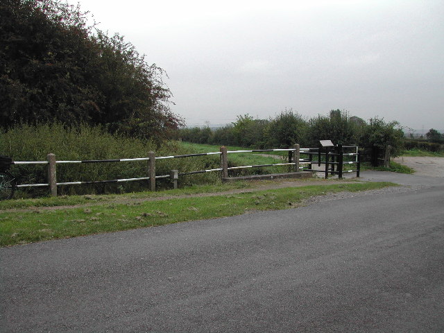
Blue Hill Images
Images are sourced within 2km of 52.902287/-0.99050034 or Grid Reference SK6734. Thanks to Geograph Open Source API. All images are credited.


Blue Hill is located at Grid Ref: SK6734 (Lat: 52.902287, Lng: -0.99050034)
Administrative County: Nottinghamshire
District: Rushcliffe
Police Authority: Nottinghamshire
What 3 Words
///sunroof.detonated.gobbling. Near Cropwell Bishop, Nottinghamshire
Nearby Locations
Related Wikis

Scunthorpe Mudstone
The Scunthorpe Mudstone is a geologic formation in England. It preserves plesiosaur fossils dating back to the Late Triassic (Rhaetian) to Early Jurassic...

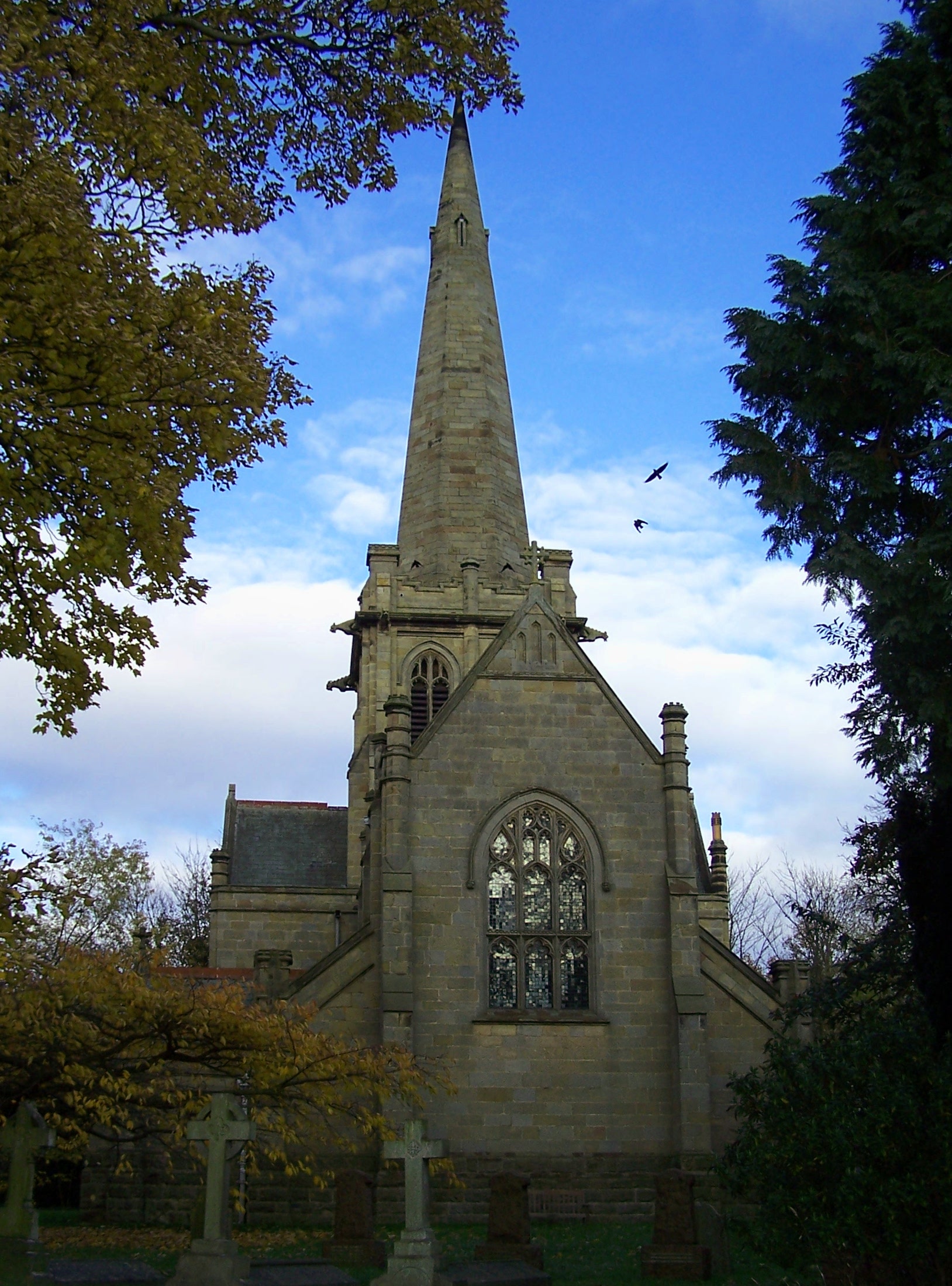
St Margaret's Church, Owthorpe
St Margaret's Church, Owthorpe is a Grade II* listed parish church in the Church of England in Owthorpe, Nottinghamshire, England. Owthorpe has an unusual...

St Giles's Church, Cropwell Bishop
St Giles' Church, Cropwell Bishop, is a Church of England parish church in the village of Cropwell Bishop, Nottinghamshire, England. The building is Grade...
Cropwell Bishop
Cropwell Bishop is a village and civil parish in the borough of Rushcliffe in Nottinghamshire. The population taken at the 2011 Census was 1,853. The village...
Owthorpe
Owthorpe is a small English village and civil parish in the Wolds of the East Midland county of Nottinghamshire. The population of about 90 was included...
Colston Bassett
Colston Bassett is an English village in the Vale of Belvoir, in the Rushcliffe district of south-east Nottinghamshire, close to its border with Leicestershire...
St John's Church, Colston Bassett
St John's Church, Colston Bassett is an English parish church of the Church of England in Colston Bassett, Nottinghamshire. It is Grade II listed by the...

Tithby
Tithby (sometimes spelt "Tythby", locally pronounced "Tidby") is an English village in the Rushcliffe borough of Nottinghamshire, about 2.6 miles (4.2...
Nearby Amenities
Located within 500m of 52.902287,-0.99050034Have you been to Blue Hill?
Leave your review of Blue Hill below (or comments, questions and feedback).