Bloxholm
Settlement in Lincolnshire North Kesteven
England
Bloxholm

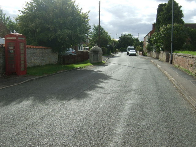
Bloxholm is a small village located in the county of Lincolnshire, England. Situated approximately 6 miles south-west of the town of Sleaford, Bloxholm is part of the North Kesteven district. The village is nestled within a rural landscape, surrounded by picturesque countryside and farmland.
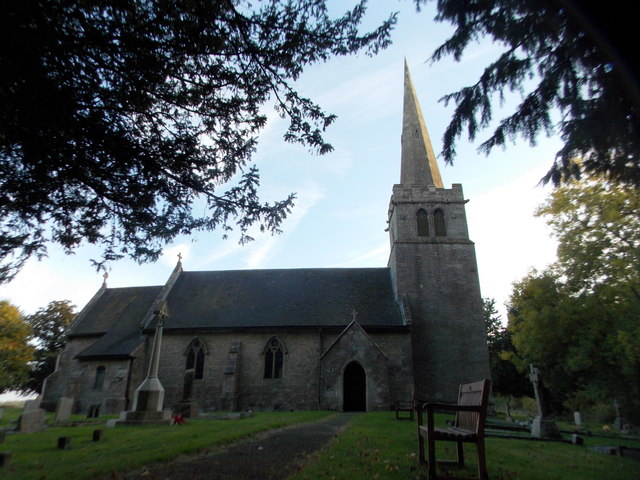
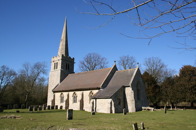
With a population of around 200 residents, Bloxholm offers a tranquil and close-knit community atmosphere. The village is characterized by its traditional English charm, with a scattering of quaint cottages and well-preserved historic buildings. One notable landmark is the St. Mary's Church, a Grade I listed building dating back to the 13th century.
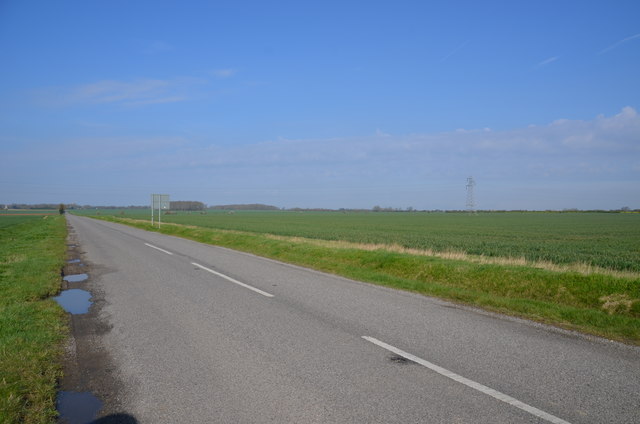
The village is well-connected to nearby towns and cities, with good transportation links. The A15 road runs nearby, providing convenient access to Lincoln and Peterborough. The nearest railway station is located in Sleaford, offering regular services to major cities such as Nottingham and London.
Although Bloxholm is primarily a residential area, it benefits from its proximity to the beautiful Lincolnshire countryside. The surrounding area provides ample opportunities for outdoor activities such as walking, cycling, and horse riding. Additionally, the nearby market town of Sleaford offers a range of amenities, including shops, schools, and leisure facilities.
In conclusion, Bloxholm is a charming and idyllic village in Lincolnshire, offering a peaceful and close-knit community atmosphere. Its picturesque surroundings and convenient location make it an appealing place to live for those seeking a rural lifestyle with easy access to amenities and transport links.
If you have any feedback on the listing, please let us know in the comments section below.
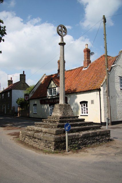
Bloxholm Images
Images are sourced within 2km of 53.070909/-0.40979428 or Grid Reference TF0653. Thanks to Geograph Open Source API. All images are credited.


Bloxholm is located at Grid Ref: TF0653 (Lat: 53.070909, Lng: -0.40979428)
Division: Parts of Kesteven
Administrative County: Lincolnshire
District: North Kesteven
Police Authority: Lincolnshire
What 3 Words
///stops.marathons.lobbed. Near Ruskington, Lincolnshire
Nearby Locations
Related Wikis

Bloxholm
Bloxholm is a hamlet, and part of the civil parish of Ashby de la Launde and Bloxholm, in the North Kesteven district of Lincolnshire, England. It is situated...

Ashby de la Launde and Bloxholm
Ashby de la Launde and Bloxholm is a civil parish in the North Kesteven district of Lincolnshire, England. According to the 2001 Census it had a population...
Digby, Lincolnshire
Digby is a small village and civil parish in the district of North Kesteven, Lincolnshire, England. The village is in the vale of the Digby Beck watercourse...
Ashby de la Launde
Ashby de la Launde is a small village, part of the civil parish of Ashby de la Launde and Bloxholm, in the North Kesteven district of Lincolnshire, England...

Dorrington, Lincolnshire
Dorrington is a village and civil parish in the North Kesteven district of Lincolnshire, England. It is situated 1.2 miles (2 km) both south from Digby...

Digby railway station
Digby railway station was a railway station in Digby, Lincolnshire, which was open between 1882 and 1961. == History == The railway line between Sleaford...

RAF Digby
Royal Air Force Digby otherwise known as RAF Digby is a Royal Air Force station located near Scopwick and 11.6 mi (18.7 km) south east of Lincoln, in Lincolnshire...

Rowston
Rowston is a village and civil parish in the North Kesteven district of Lincolnshire, England, situated approximately 6 miles (10 km) north from the town...
Nearby Amenities
Located within 500m of 53.070909,-0.40979428Have you been to Bloxholm?
Leave your review of Bloxholm below (or comments, questions and feedback).