Birks

Settlement in Lancashire

England

Birks

Old Milestone by Thurston Clough Road, Saddleworth By the UC road, in parish of Saddleworth (Oldham District), Ex.YW Thurston Clough Road, East of crossroads, on top of wall, next to wooden stile and FP sign by Dole Nook Farm. Original location unknown.

Inscription reads:- : To / Oldham / (4½) Miles :: To / Huddersf. / (13) Miles.

Surveyed

Milestone Society National ID: YW_HUOD13a
Old Milestone by Thurston Clough Road, Saddleworth Credit: Bob Bevan

Birks is a small village located in the county of Lancashire, England. Situated in the North West region of the country, Birks is a rural settlement surrounded by picturesque countryside. The village is part of the larger civil parish of Bamber Bridge and falls within the South Ribble borough.

With a population of around 500 residents, Birks maintains a close-knit community atmosphere. The village is primarily residential, characterized by traditional stone-built houses and cottages. Its charming appearance is further enhanced by well-maintained gardens and flower beds that line the streets.

Birks benefits from its proximity to larger towns and cities in Lancashire. The bustling market town of Preston is just a short drive away, offering a wide range of amenities including shopping centers, restaurants, and leisure facilities. Additionally, the vibrant city of Manchester is easily accessible via the nearby motorway network, providing residents with further employment and recreational opportunities.

The village itself has limited amenities, but there is a small convenience store that caters to the daily needs of residents. Birks also has a primary school, offering education for local children within the village. The surrounding countryside provides ample opportunities for outdoor activities such as walking, hiking, and cycling.

Overall, Birks is a tranquil and idyllic village, offering a peaceful and rural lifestyle while still benefiting from its proximity to larger towns and cities. Its charming character and sense of community make it an attractive place to live for those seeking a quieter pace of life.

If you have any feedback on the listing, please let us know in the comments section below.
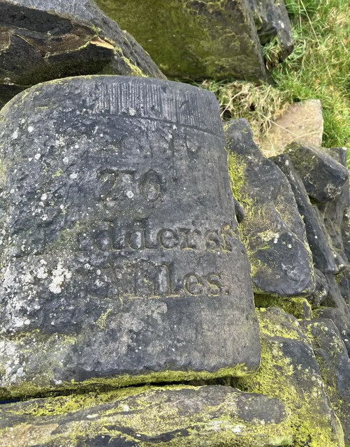
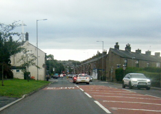
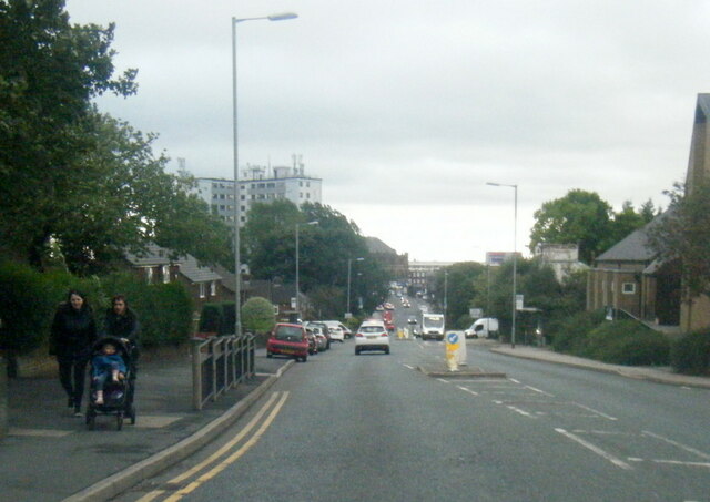
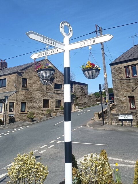
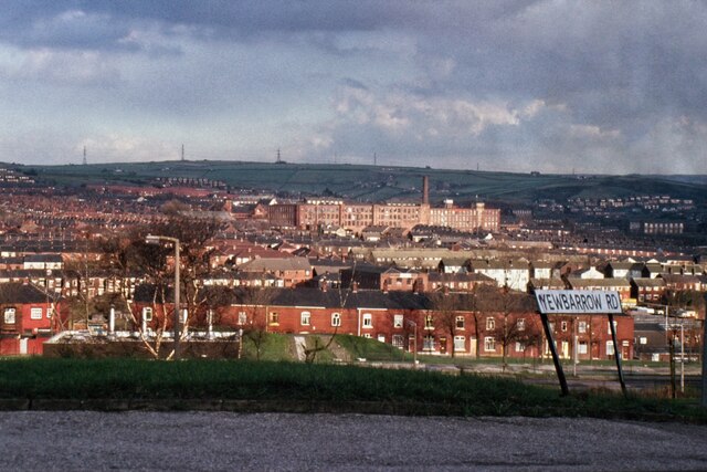
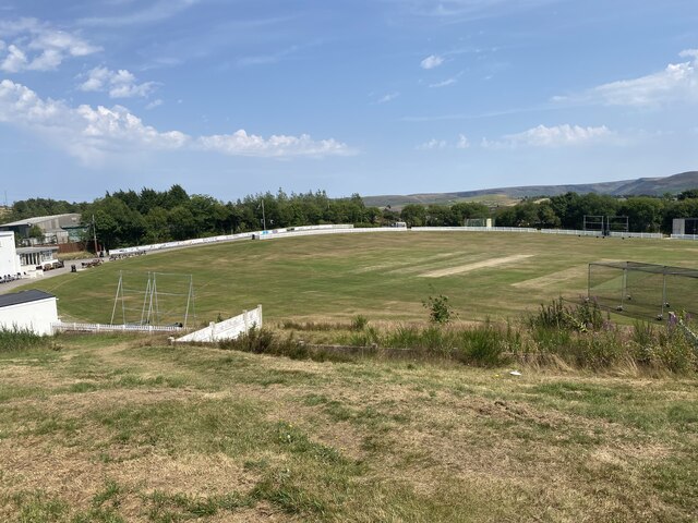
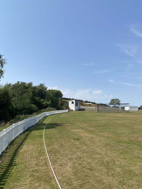
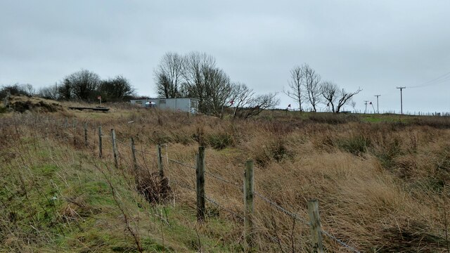
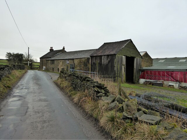
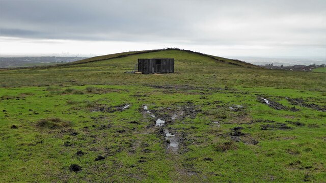
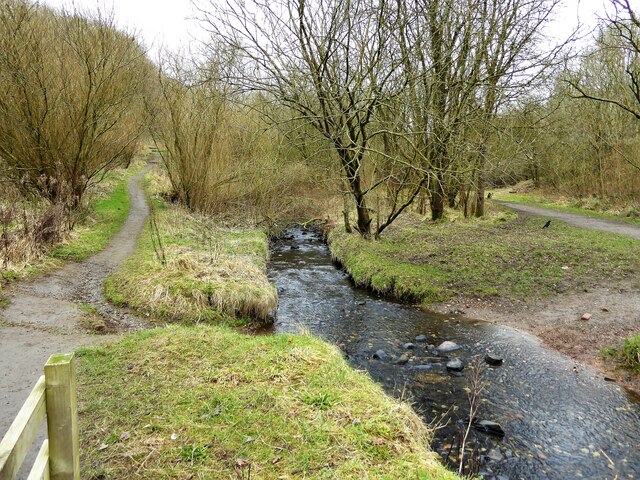
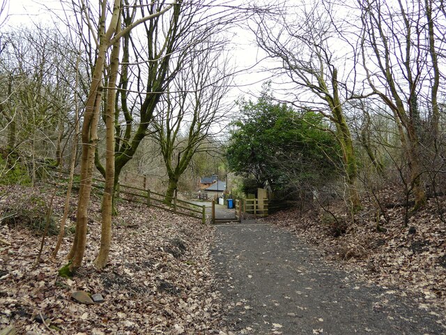
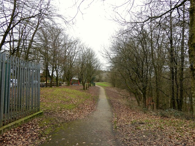
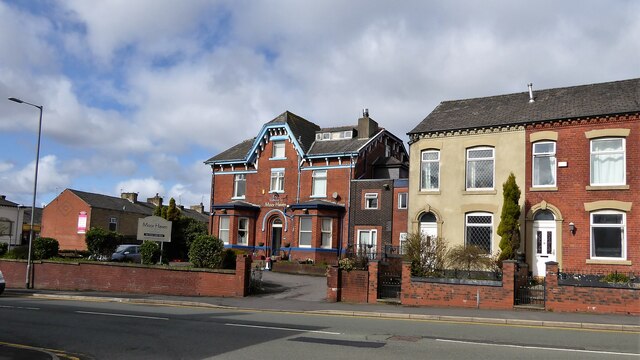
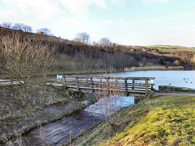
Birks Images

Images are sourced within 2km of 53.54931/-2.0674258 or Grid Reference SD9505. Thanks to Geograph Open Source API. All images are credited.

Old Milestone by Thurston Clough Road, Saddleworth By the UC road, in parish of Saddleworth (Oldham District), Ex.YW Thurston Clough Road, East of crossroads, on top of wall, next to wooden stile and FP sign by Dole Nook Farm. Original location unknown.

Inscription reads:- : To / Oldham / (4½) Miles :: To / Huddersf. / (13) Miles.

Surveyed

Milestone Society National ID: YW_HUOD13a
Old Milestone by Thurston Clough Road, Saddleworth
By the UC road, in parish of Saddleworth (Oldham District), Ex.YW Thurston Clough Road, East of crossroads, on top of wall, next to wooden stile and FP sign by Dole Nook Farm. Original location unknown. Inscription reads:- : To / Oldham / (4½) Miles :: To / Huddersf. / (13) Miles. Surveyed Milestone Society National ID: YW_HUOD13a
A672 Ripponden Road at Sholver Lane
A672 Ripponden Road at Collett Street
Direction Sign – Signpost at Scouthead in Saddleworth parish Located in Scouthead, on the southeast side of the crossroads of Back Lane, Thurston Clough Road, Thorpe Lane and Doctor Lane in Saddleworth parish. 3 arms and annulus finial. A metal replacement for <a title="https://www.geograph.org.uk/photo/5918932" href="https://www.geograph.org.uk/photo/5918932">Link</a> and <a title="https://www.geograph.org.uk/photo/2007544" href="https://www.geograph.org.uk/photo/2007544">Link</a>.

Milestone Society National ID: YW_SD9706R
Direction Sign – Signpost at Scouthead in Saddleworth parish
Located in Scouthead, on the southeast side of the crossroads of Back Lane, Thurston Clough Road, Thorpe Lane and Doctor Lane in Saddleworth parish. 3 arms and annulus finial. A metal replacement for Link and Link. Milestone Society National ID: YW_SD9706R
Derker Mills, Oldham
Cricket Pitch
Cricket Pitch
Slack Hall Trig Point Flush Bracket S2785
Cricket Pitch
Cricket Pitch
Entrance to Highmoor Landfill Site A purpose built road for waste lorries has been built to the main A62 road at Scouthead to avoid the country lane routes to this former quarry
Entrance to Highmoor Landfill Site
A purpose built road for waste lorries has been built to the main A62 road at Scouthead to avoid the country lane routes to this former quarry
Warning flags flying Around Highmoor Clay pigeon Club viewed from Whitegates Lane
Warning flags flying
Around Highmoor Clay pigeon Club viewed from Whitegates Lane
Two Acre A farm on Two Acre Lane
Two Acre
A farm on Two Acre Lane
Harbour Hill With very wet farmland
Harbour Hill
With very wet farmland
Cycle route following line of former railway This view across Cranbrook Street just off the path shows the route is on the top of infill, since only the bridge parapet is visible of the former railway bridge. The path is on the  former Oldham to Greenfield line.
Cycle route following line of former railway
This view across Cranbrook Street just off the path shows the route is on the top of infill, since only the bridge parapet is visible of the former railway bridge. The path is on the former Oldham to Greenfield line.
Cycle path following route of former railway The path is approaching the former railway bridge at St. John Street which is one of the few not infilled on the route. The path runs from Oldham to Grotton along the former line to Greenfield.
Cycle path following route of former railway
The path is approaching the former railway bridge at St. John Street which is one of the few not infilled on the route. The path runs from Oldham to Grotton along the former line to Greenfield.
River Medlock at Lees View on the Medlock Valley Way from a footbridge
River Medlock at Lees
View on the Medlock Valley Way from a footbridge
The end of the cycle path View towards Old Mill Lane at Grotton. The cycle path has followed the route of the former Oldham to Greenfield railway but deviates here to join Old Mill Lane.
The end of the cycle path
View towards Old Mill Lane at Grotton. The cycle path has followed the route of the former Oldham to Greenfield railway but deviates here to join Old Mill Lane.
Route of former railway at Grotton View from the former Grotton Station towards Lees on the Greenfield to Oldham railway route. A cycle path exists on the Grotton to Oldham portion of the route.
Route of former railway at Grotton
View from the former Grotton Station towards Lees on the Greenfield to Oldham railway route. A cycle path exists on the Grotton to Oldham portion of the route.
Moor Haven Care Home One of several former large villas on Ripponden Road, Watersheddings, converted to residential care homes
Moor Haven Care Home
One of several former large villas on Ripponden Road, Watersheddings, converted to residential care homes
Show me another place!

Birks is located at Grid Ref: SD9505 (Lat: 53.54931, Lng: -2.0674258)

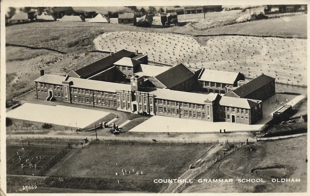
Unitary Authority: Oldham

Police Authority: Greater Manchester

What 3 Words

///serves.scary.jelly. Near Shaw, Manchester

Related Wikis

Nearby Amenities

Located within 500m of 53.54931,-2.0674258
Pub
Shepherds Boy
Lat/Long: 53.5494399/-2.0727085
Pub
The Temple
Lat/Long: 53.5489706/-2.0705301
Cafe
Village Cafe
Lat/Long: 53.5493825/-2.0723437
Waterhead
Place: locality
Lat/Long: 53.5503294/-2.0720779
Bus Stop
Waterhead, Greenacres Road / opposite Bulls Head
Bus: yes
Naptan AtcoCode: 1800ED11111
Naptan Bearing: W
Naptan CommonName: Greenacres Road/Bulls Head
Naptan Indicator: Mill
Naptan Landmark: MILL
Naptan NaptanCode: manampda
Naptan PlusbusZoneRef: MNCRPIC
Naptan ShortCommonName: Bulls Head
Naptan Street: GREENACRES ROAD
Naptan Verified: no
Network: TfGM
Operator: TfGM
Public Transport: platform
Source: naptan_import
Lat/Long: 53.5482415/-2.0735377
Bus Stop
Waterhead, Greenacres Road / outside Bulls Head
Bus: yes
Naptan AtcoCode: 1800ED11121
Naptan Bearing: E
Naptan CommonName: Greenacres Road/Bulls Head
Naptan Indicator: Bulls Head Pub
Naptan Landmark: BULL'S HEAD P/H
Naptan NaptanCode: manampdg
Naptan Notes: INDICATOR AMENDED
Naptan PlusbusZoneRef: MNCRPIC
Naptan ShortCommonName: Bulls Head
Naptan Street: GREENACRES ROAD
Naptan Verified: no
Network: TfGM
Operator: TfGM
Public Transport: platform
Source: naptan_import
Lat/Long: 53.5484126/-2.0732602
Bus Stop
Waterhead, Huddersfield Road / near Church Street East
Bus: yes
Naptan AtcoCode: 1800ED12011
Naptan Bearing: E
Naptan CommonName: Huddersfield Road/Waterhead
Naptan Indicator: Public Toilet
Naptan Landmark: HOUSE 491
Naptan NaptanCode: manamptm
Naptan PlusbusZoneRef: MNCRPIC
Naptan ShortCommonName: Waterhead
Naptan Street: Huddersfield Road
Naptan Verified: no
Network: TfGM
Operator: TfGM
Public Transport: platform
Source: naptan_import
Lat/Long: 53.5497335/-2.073836
Bus Stop
Cross Bank, Huddersfield Road / opposite Stamford Road
Bus: yes
Naptan AtcoCode: 1800ED12021
Naptan Bearing: SE
Naptan CommonName: Huddersfield Road/Stamford Road
Naptan Indicator: O/s House 591
Naptan Landmark: HOUSE 619
Naptan NaptanCode: manamptp
Naptan PlusbusZoneRef: MNCRPIC
Naptan ShortCommonName: Stamford Road
Naptan Street: Huddersfield Road
Naptan Verified: no
Network: TfGM
Operator: TfGM
Public Transport: platform
Source: naptan_import
Lat/Long: 53.548146/-2.0680829
Bus Stop
Cross Bank, Huddersfield Road / near Stamford Road
Bus: yes
Naptan AtcoCode: 1800ED12031
Naptan Bearing: NW
Naptan CommonName: Huddersfield Road/Stamford Road
Naptan Indicator: Public Gardens
Naptan Landmark: PUBLIC GARDENS
Naptan NaptanCode: manamptw
Naptan PlusbusZoneRef: MNCRPIC
Naptan ShortCommonName: Stamford Road
Naptan Street: Huddersfield Road
Naptan Verified: no
Network: TfGM
Operator: TfGM
Public Transport: platform
Source: naptan_import
Lat/Long: 53.5484691/-2.0689136
Bus Stop
Austerlands, Huddersfield Road / opposite Austerlands Chimney
Bus: yes
Naptan AtcoCode: 1800ED12051
Naptan Bearing: W
Naptan CommonName: Huddersfield Road/Austerlands Chimney
Naptan Indicator: Red Lion
Naptan Landmark: RED LION
Naptan NaptanCode: manampwd
Naptan PlusbusZoneRef: MNCRPIC
Naptan ShortCommonName: Chimney
Naptan Street: Huddersfield Road
Naptan Verified: no
Network: TfGM
Operator: TfGM
Public Transport: platform
Source: naptan_import
Lat/Long: 53.546234/-2.0634014
Bus Stop
Waterhead, Huddersfield Road / at Waterhead Terminus
Bus: yes
Naptan AtcoCode: 1800ED30601
Naptan Bearing: S
Naptan CommonName: Culvert Street/Waterhead Terminus
Naptan Indicator: Os Pub
Naptan Landmark: SCHOOL
Naptan NaptanCode: manatmpt
Naptan PlusbusZoneRef: MNCRPIC
Naptan ShortCommonName: Waterhead Terminu
Naptan Street: Huddersfield Road
Naptan Verified: no
Network: TfGM
Operator: TfGM
Public Transport: platform
Shelter: yes
Source: naptan_import
Lat/Long: 53.5495741/-2.0717059
Bus Stop
Waterhead, Huddersfield Road / opposite Church Street East
Bus: yes
Naptan AtcoCode: 1800ED30611
Naptan Bearing: W
Naptan CommonName: Huddersfield Road/Waterhead
Naptan Indicator: Os House 566
Naptan Landmark: FLATS
Naptan NaptanCode: manatmpw
Naptan Notes: LOCATION AMENDED
Naptan PlusbusZoneRef: MNCRPIC
Naptan ShortCommonName: Waterhead
Naptan Street: Huddersfield Road
Naptan Verified: no
Network: TfGM
Operator: TfGM
Public Transport: platform
Source: naptan_import
Lat/Long: 53.549581/-2.0733679
Bus Stop
Cross Bank, Stamford Road / near Dunham Street
Bus: yes
Naptan AtcoCode: 1800ED30631
Naptan Bearing: N
Naptan CommonName: Stamford Road/Dunham Street
Naptan Indicator: O/s House 209
Naptan Landmark: HOUSE 209
Naptan NaptanCode: manatmta
Naptan PlusbusZoneRef: MNCRPIC
Naptan ShortCommonName: Dunham Street
Naptan Street: STAMFORD ROAD
Naptan Verified: no
Network: TfGM
Operator: TfGM
Public Transport: platform
Source: naptan_import
Lat/Long: 53.5481633/-2.0691395
Bus Stop
Cross Bank, Stamford Road / opposite Dunham Street
Bus: yes
Naptan AtcoCode: 1800ED30641
Naptan Bearing: S
Naptan CommonName: Stamford Road/Dunham Street
Naptan Indicator: O/s House 170
Naptan Landmark: HOUSE 170
Naptan NaptanCode: manatmtd
Naptan PlusbusZoneRef: MNCRPIC
Naptan ShortCommonName: Dunham Street
Naptan Street: STAMFORD ROAD
Naptan Verified: no
Network: TfGM
Operator: TfGM
Public Transport: platform
Source: naptan_import
Lat/Long: 53.5480376/-2.068928
Bus Stop
Cross Bank, Stamford Road / near Redwood Lane
Bus: yes
Naptan AtcoCode: 1800ED30651
Naptan Bearing: N
Naptan CommonName: Stamford Road/Redwood Lane
Naptan Indicator: O/s House 101
Naptan Landmark: HOUSE 101
Naptan NaptanCode: manatmtg
Naptan PlusbusZoneRef: MNCRPIC
Naptan ShortCommonName: Redwood Lane
Naptan Street: STAMFORD ROAD
Naptan Verified: no
Network: TfGM
Operator: TfGM
Public Transport: platform
Source: naptan_import
Lat/Long: 53.5460555/-2.0684086
Bus Stop
Cross Bank, Stamford Road / opposite Redwood Lane
Bus: yes
Naptan AtcoCode: 1800ED30661
Naptan Bearing: S
Naptan CommonName: Stamford Road/Redwood Lane
Naptan Indicator: O/s House 86
Naptan Landmark: HOUSE 86
Naptan NaptanCode: manatmtj
Naptan PlusbusZoneRef: MNCRPIC
Naptan ShortCommonName: Redwood Lane
Naptan Street: STAMFORD ROAD
Naptan Verified: no
Network: TfGM
Operator: TfGM
Public Transport: platform
Source: naptan_import
Lat/Long: 53.5458834/-2.0681833
Turning Circle
Lat/Long: 53.5470318/-2.0697613
Turning Circle
Lat/Long: 53.547341/-2.0629002
Parking
Access: yes
Fee: no
Parking: surface
Source: bing;OS_OpenData_StreetView
Lat/Long: 53.5530671/-2.0686886
Generator Method: photovoltaic
Generator Output Electricity: yes
Generator Source: solar
Generator Type: solar_photovoltaic_panel
Location: roof
Power: generator
Lat/Long: 53.546543/-2.0702452
Generator Method: photovoltaic
Generator Output Electricity: yes
Generator Source: solar
Generator Type: solar_photovoltaic_panel
Location: roof
Power: generator
Lat/Long: 53.5465415/-2.0703418
Generator Method: photovoltaic
Generator Output Electricity: yes
Generator Source: solar
Generator Type: solar_photovoltaic_panel
Location: roof
Power: generator
Lat/Long: 53.5456075/-2.0667691
Generator Method: photovoltaic
Generator Output Electricity: yes
Generator Source: solar
Generator Type: solar_photovoltaic_panel
Location: roof
Power: generator
Lat/Long: 53.545598/-2.0668362
Generator Method: photovoltaic
Generator Output Electricity: yes
Generator Source: solar
Generator Type: solar_photovoltaic_panel
Location: roof
Power: generator
Lat/Long: 53.5483203/-2.0658931
Generator Method: photovoltaic
Generator Output Electricity: yes
Generator Source: solar
Generator Type: solar_photovoltaic_panel
Power: generator
Lat/Long: 53.5511793/-2.0741534
Generator Method: photovoltaic
Generator Output Electricity: yes
Generator Source: solar
Generator Type: solar_photovoltaic_panel
Power: generator
Lat/Long: 53.5511889/-2.0740538
Communication Mobile Phone: yes
Man Made: mast
Tower Construction: lattice
Tower Type: communication
Lat/Long: 53.5488059/-2.0629442
Bus Stop
Austerlands, Huddersfield Road / outside Austerlands Chimney
Bus: yes
Naptan AtcoCode: 1800ED12041
Naptan Bearing: E
Naptan Landmark: PAN AMUSEMENTS
Naptan NaptanCode: MANAMPWA
Naptan Street: Huddersfield Road
Naptan Verified: no
Network: TfGM
Operator: TfGM
Public Transport: platform
Source: naptan_import
Lat/Long: 53.5463188/-2.0642897
Noexit: yes
Lat/Long: 53.5492204/-2.0605818
Leisure: pitch
Sport: table_tennis
Lat/Long: 53.5503547/-2.0716146
Leisure: pitch
Sport: table_tennis
Lat/Long: 53.5503822/-2.0715967
Leisure: pitch
Sport: table_tennis
Lat/Long: 53.5504149/-2.0715729
Leisure: pitch
Sport: table_tennis
Lat/Long: 53.5504495/-2.0715505
Crossing
Crossing: uncontrolled
Crossing Island: no
Lat/Long: 53.5497148/-2.0725465
Entrance: main
Wheelchair: yes
Lat/Long: 53.550172/-2.0719753
Waterhead
Place: suburb
Lat/Long: 53.5495084/-2.0745675
The data included in this document is from www.openstreetmap.org. The data is made available under ODbL.

Have you been to Birks?

Leave your review of Birks below (or comments, questions and feedback).