Bicester Village

Settlement in Oxfordshire Cherwell

England

Bicester Village

Fane House, Bicester This is sheltered housing
Fane House, Bicester Credit: David Howard

Bicester Village is a popular luxury shopping outlet located in Bicester, Oxfordshire, England. It is approximately 60 miles northwest of London and is renowned for its designer fashion and homeware brands. The village attracts millions of visitors each year, both local and international, seeking high-end products at discounted prices.

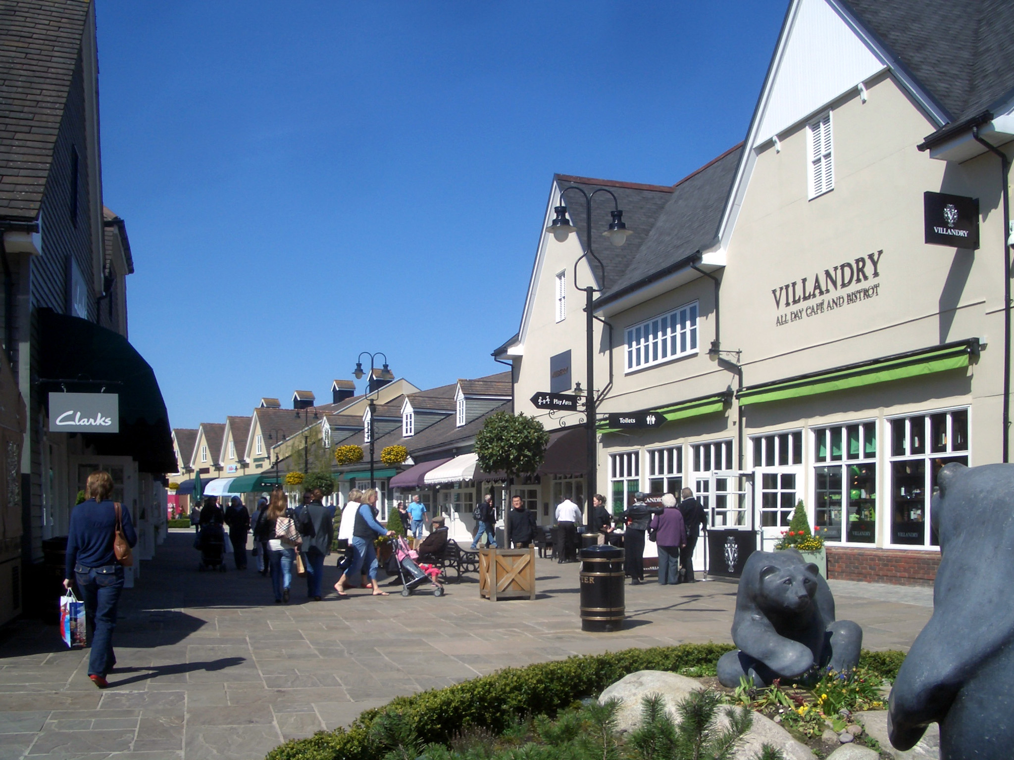
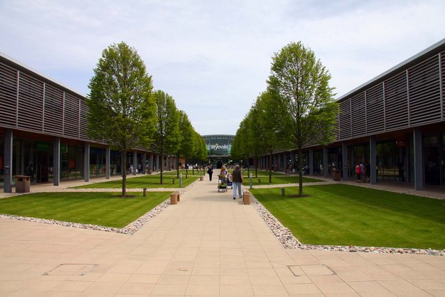
Bicester Village is set in a picturesque open-air environment, resembling a quaint English village with its charming architecture, cobbled streets, and beautifully landscaped gardens. The village boasts over 160 boutiques, showcasing a vast array of renowned fashion labels including Gucci, Prada, Burberry, and Versace, among many others. Visitors can browse through a wide selection of clothing, accessories, footwear, and homeware, all with significant savings compared to regular retail prices.

The shopping experience at Bicester Village is complemented by its excellent amenities. The village features numerous cafes, restaurants, and refreshment spots, offering a variety of cuisines to suit every taste. Additionally, there are children's play areas, ample parking, and a dedicated VIP lounge to enhance the shopping experience.

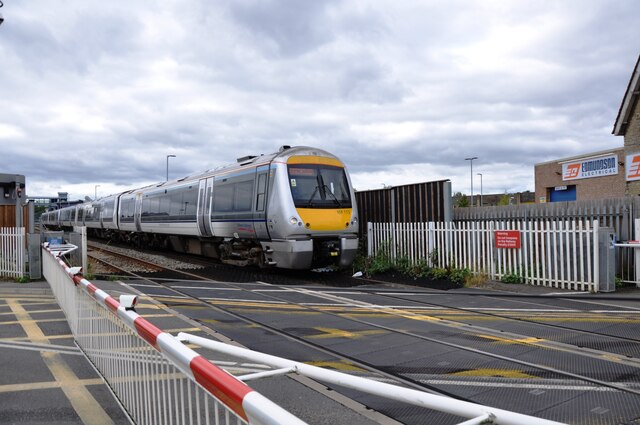
Bicester Village is easily accessible, with excellent transportation links. It is conveniently located near the M40 motorway, making it easily reachable by car. Alternatively, visitors can opt for the regular train services from London Marylebone or Oxford, with a dedicated station located just minutes away from the village.

Overall, Bicester Village offers a unique and enjoyable shopping experience, providing fashion enthusiasts and bargain hunters with a fantastic selection of luxury brands at discounted prices, all in a charming and picturesque setting.

If you have any feedback on the listing, please let us know in the comments section below.

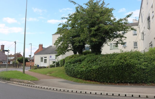
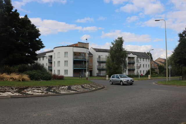
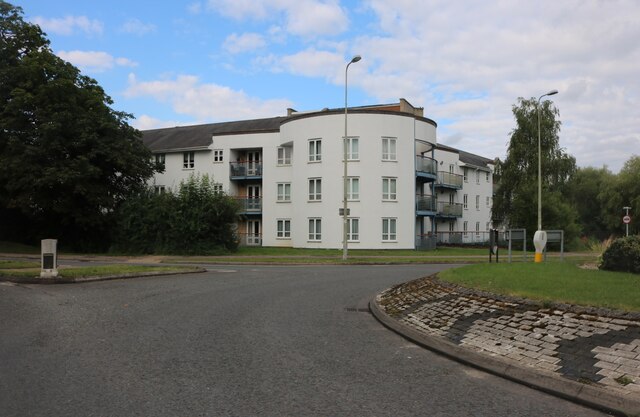
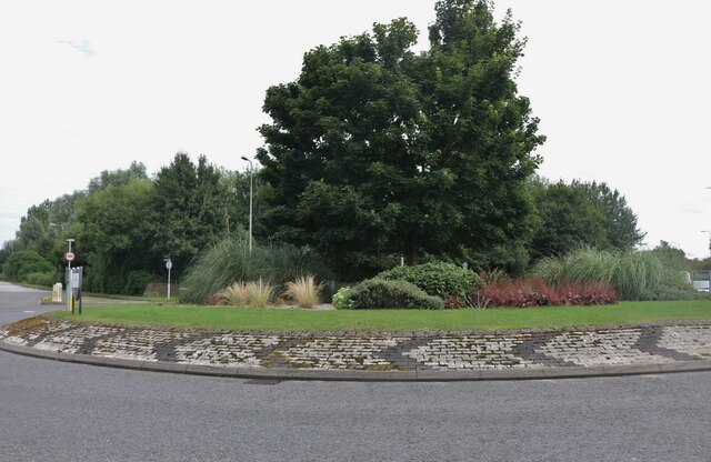
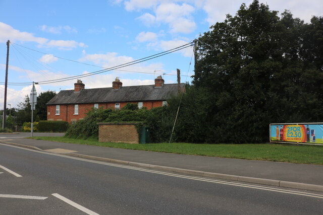
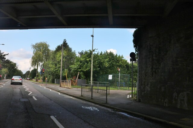
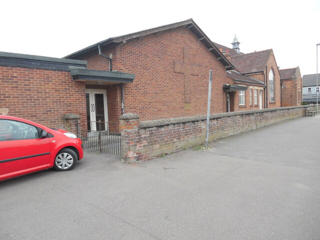
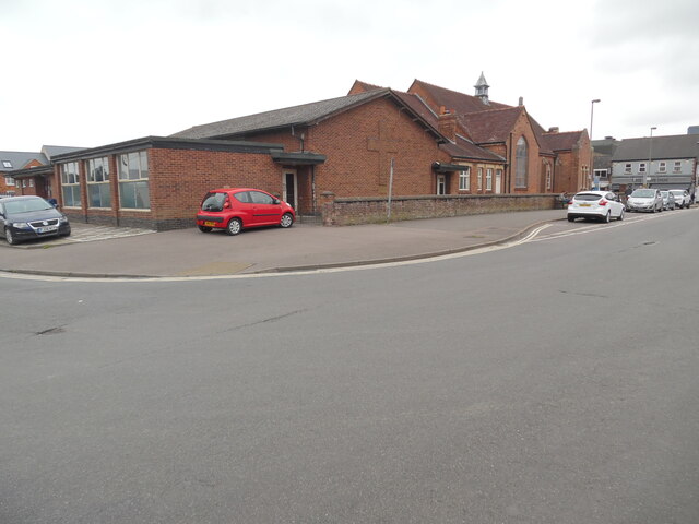
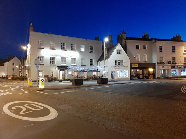
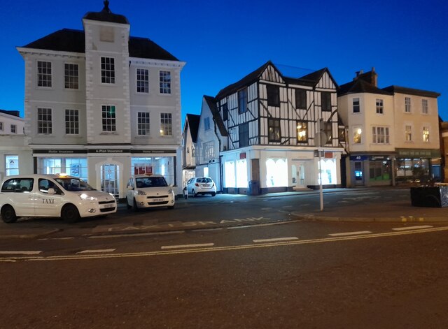
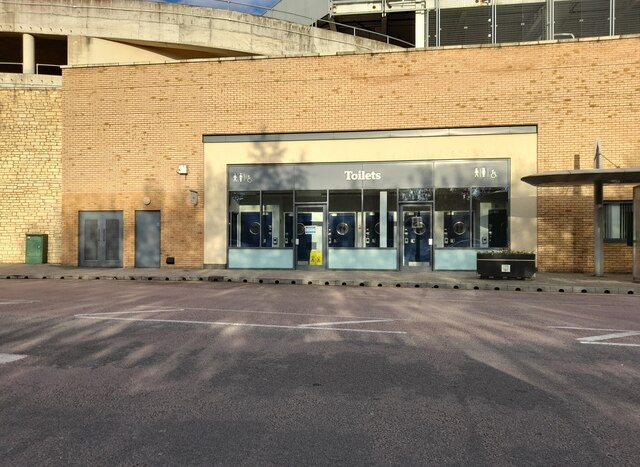
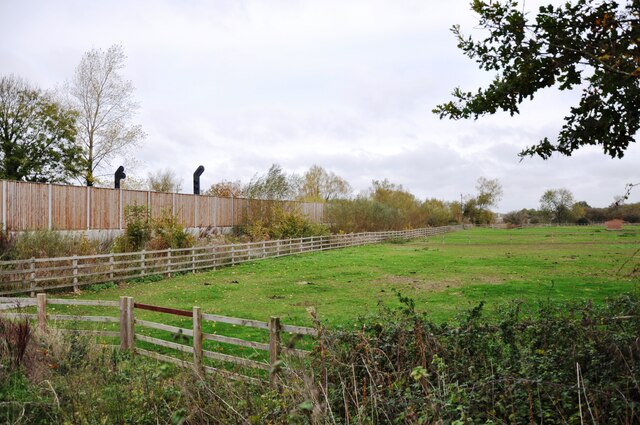
Bicester Village Images

Images are sourced within 2km of 51.893282/-1.1574929 or Grid Reference SP5821. Thanks to Geograph Open Source API. All images are credited.

Fane House, Bicester This is sheltered housing
Fane House, Bicester
This is sheltered housing
Flats on London Road, Bicester
Landscaped roundabout on London Road, Bicester
London Road, Bicester By the level crossing
London Road, Bicester
By the level crossing
Under the railway on Banbury Road, Bicester
View south west from the A41 bridge A view of the Bicester to Oxford railway line on the right and the loops and sidings on the left giving access to the Bicester Military Railway in the middle distance.  The MOD depot although these days reduced in size still retains rail access, with regular freight trains arriving and departing.
View south west from the A41 bridge
A view of the Bicester to Oxford railway line on the right and the loops and sidings on the left giving access to the Bicester Military Railway in the middle distance. The MOD depot although these days reduced in size still retains rail access, with regular freight trains arriving and departing.
View north east from A41 bridge Chiltern railways DMU No. 168322 has just departed from Bicester Village Station heading for Oxford.  The station was named Bicester Town until the line was rebuilt for Chiltern services to Oxford, and now serves the nearby Bicester Village retail outlet shopping centre.
View north east from A41 bridge
Chiltern railways DMU No. 168322 has just departed from Bicester Village Station heading for Oxford. The station was named Bicester Town until the line was rebuilt for Chiltern services to Oxford, and now serves the nearby Bicester Village retail outlet shopping centre.
Bicester Level Crossing Chiltern Railways dmu No. 168328 heads towards London after stopping at Bicester Village Station.  These services run regularly between Oxford and London Marylebone via the New Bicester Chord line, opened in 2015. This is the only level crossing on the route, as all others have been replaced with bridges.
Bicester Level Crossing
Chiltern Railways dmu No. 168328 heads towards London after stopping at Bicester Village Station. These services run regularly between Oxford and London Marylebone via the New Bicester Chord line, opened in 2015. This is the only level crossing on the route, as all others have been replaced with bridges.
KX100 Telephone Kiosk at Bicester North Railway Station This photo shows the telephone kiosk at the entrance to the railway station which is in Chiltern Approach off Buckingham Road OX26 6EF. The stairs to the right of the kiosk lead to the southbound platform for trains going to Marylebone Station in London.
KX100 Telephone Kiosk at Bicester North Railway Station
This photo shows the telephone kiosk at the entrance to the railway station which is in Chiltern Approach off Buckingham Road OX26 6EF. The stairs to the right of the kiosk lead to the southbound platform for trains going to Marylebone Station in London.
Santander Bank branch in Bicester This bank branch is located at 15 Sheep Street OX26 6JL. To the right of the branch can be seen No 15a leading to a private clinic.
Santander Bank branch in Bicester
This bank branch is located at 15 Sheep Street OX26 6JL. To the right of the branch can be seen No 15a leading to a private clinic.
Bicester Methodist Church Situated in Bell Lane OX26 6JQ, this church is known as the "Grainger 
Hargreaves Memorial Church" and dates from 1927. It is one of eight churches in the Buckingham, Bicester and Brackley Methodist Circuit, known as the 3Bs Methodist Circuit. Services are held here each Sunday at 10.45am with activities taking place during the week.
Bicester Methodist Church
Situated in Bell Lane OX26 6JQ, this church is known as the "Grainger Hargreaves Memorial Church" and dates from 1927. It is one of eight churches in the Buckingham, Bicester and Brackley Methodist Circuit, known as the 3Bs Methodist Circuit. Services are held here each Sunday at 10.45am with activities taking place during the week.
Side view of Bicester Methodist Church (1) This side view in Bell Lane shows a cross built into the red brickwork of this church. It is named after the Revd Grainger Hargreaves who was an early
Christian missionary in China, and the Methodist Minister from 1921 to 1923. The white double doors seen in the photo lead into the church hall behind the church.
Side view of Bicester Methodist Church (1)
This side view in Bell Lane shows a cross built into the red brickwork of this church. It is named after the Revd Grainger Hargreaves who was an early Christian missionary in China, and the Methodist Minister from 1921 to 1923. The white double doors seen in the photo lead into the church hall behind the church.
Side view of Bicester Methodist Church (2) Taken in Bell Lane, this photo shows the redbrick church hall behind the church. Victoria Road can just be seen to the left of the photo.
Side view of Bicester Methodist Church (2)
Taken in Bell Lane, this photo shows the redbrick church hall behind the church. Victoria Road can just be seen to the left of the photo.
London Road, Bicester
Public toilets at Pioneer Square, Bicester
Langford Lane Langford Lane level crossing has been closed and the road diverted over a bridge about 1km south.  The rebuilt railway line now runs behind the fence on the left and is used for high speed services from Oxford to London Marylebone.
Langford Lane
Langford Lane level crossing has been closed and the road diverted over a bridge about 1km south. The rebuilt railway line now runs behind the fence on the left and is used for high speed services from Oxford to London Marylebone.
Show me another place!

Bicester Village is located at Grid Ref: SP5821 (Lat: 51.893282, Lng: -1.1574929)

Administrative County: Oxfordshire

District: Cherwell

Police Authority: Thames Valley

What 3 Words

///forced.broad.agreed. Near Bicester, Oxfordshire

Nearby Locations

Bicester Village

Related Wikis

Bicester Village

Bicester Village is a designer outlet shopping centre on the outskirts of Bicester, a town in Oxfordshire, England. It is owned by Value Retail plc. The...

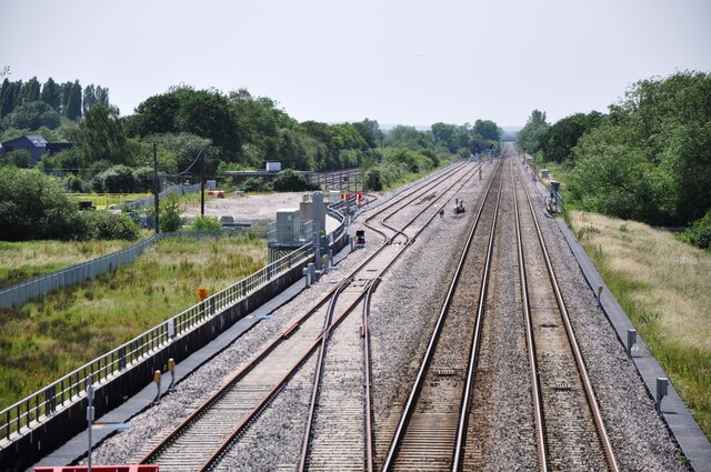
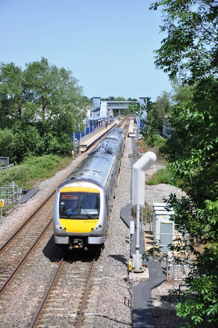
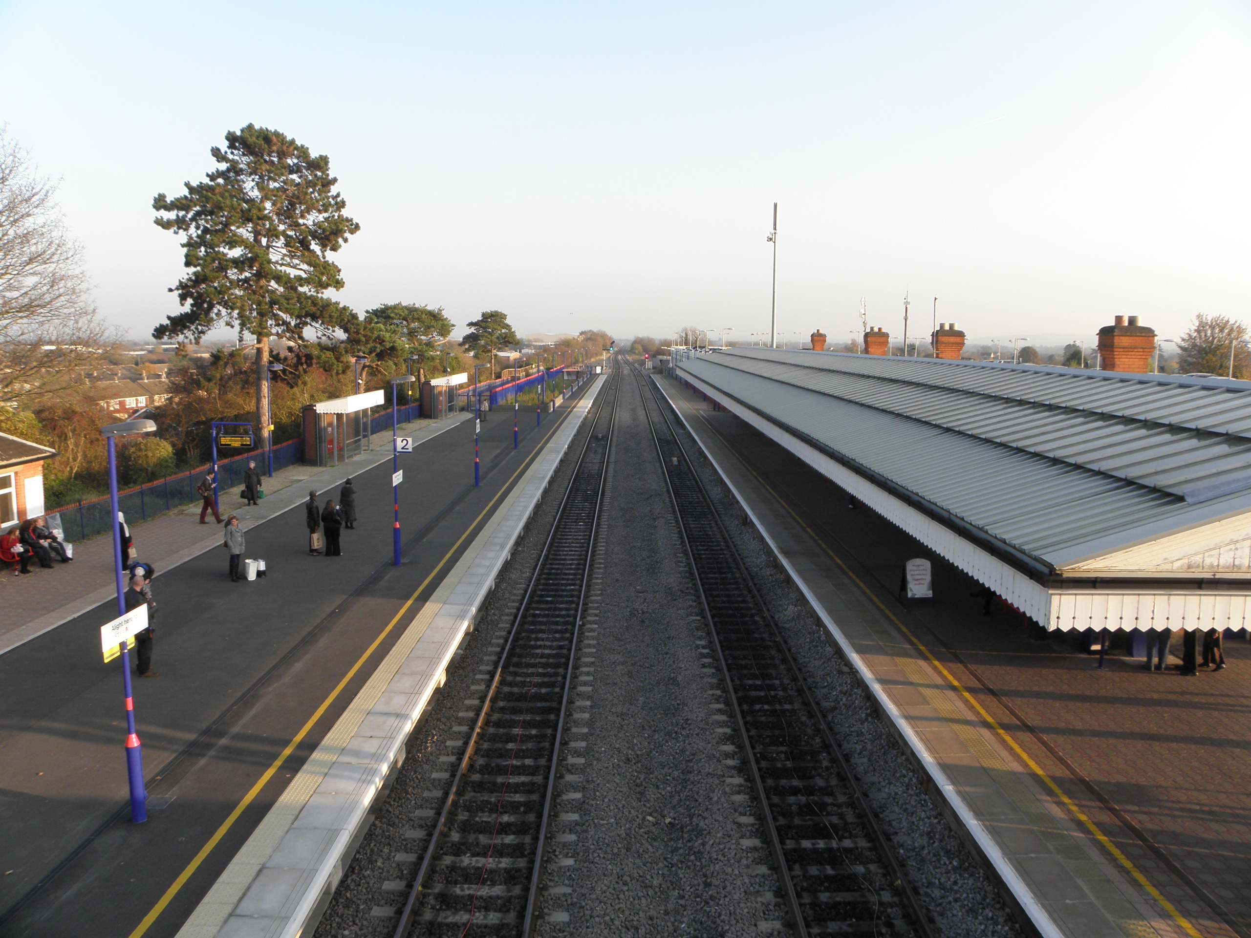
Bicester Village railway station

Bicester Village (2015–present, previously Bicester Town 1987–2014, Bicester London Road 1954–1968, Bicester 1850–1954) is one of two railway stations...

Bicester Avenue

Bicester Avenue Home and Garden Centre is a shopping centre in Bicester, Oxfordshire, England, that opened in May 2007. Some of the stores at Bicester...

The Bicester School

The Bicester School (previously Bicester Community College) is a mixed, multi-heritage, secondary school, with 963 students (including a sixth form). It...

Bicester

Bicester ( BISS-tər) is a historical market town, garden town, and civil parish in the Cherwell district of northeastern Oxfordshire in south-central...

Bicester North railway station

Bicester North is a station on the Chiltern Main Line, one of two stations serving Bicester in Oxfordshire. Services operated by Chiltern Railways run...

Wendlebury Halt railway station

Wendlebury Halt was a railway station on the Varsity Line, located 0.5 miles (800 m) east of the village of Wendlebury in Alchester. The London and North...

Bure Park

Bure Park is a 8.4-hectare (21-acre) Local Nature Reserve in Bicester in Oxfordshire. It is owned by Bicester Town Council and managed by Cherwell District...

Related Videos

[4K] Walking Tour of Bicester Village near Oxford and London

Bicester Village is an hour from London and 30 minutes from Oxford. A place where you can meet more than 160 luxury designer ...

Bicester Village diaries 📔📔📔🇬🇧🇬🇧🇬🇧

Marylebone tube #tube #underground #marylebone #bicestervillage #luxuryshopping #london #londonlife #londondiaries ...

Nearby Amenities

Located within 500m of 51.893282,-1.1574929
Mini Roundabout
Direction: clockwise
Lat/Long: 51.8957085/-1.1597614
Turning Circle
Lat/Long: 51.8975252/-1.1597245
Turning Circle
Lat/Long: 51.8968169/-1.1601315
Barrier: bollard
Lat/Long: 51.8968269/-1.1583895
Crossing
Crossing: uncontrolled
Crossing Island: separate
Crossing Markings: zebra;dots
Crossing Ref: zebra
Surface: paving_stones
Tactile Paving: yes
Traffic Calming: table
Lat/Long: 51.8932689/-1.1577375
Barrier: bollard
Lat/Long: 51.8963696/-1.1572283
Fixme: Connected?
Lat/Long: 51.8950325/-1.156554
Note: path ends here
Lat/Long: 51.8916205/-1.1567553
Entrance: yes
Lat/Long: 51.8927866/-1.1578179
Telephone
Booth: K6
Colour: blue
Covered: booth
Phone: +44 1869 323838
Lat/Long: 51.8918808/-1.1560079
Toilets
Lat/Long: 51.8924623/-1.1584721
Toilets
Fee: no
Wheelchair: yes
Lat/Long: 51.8911319/-1.1540622
Crossing
Bicycle: designated
Button Operated: yes
Crossing: traffic_signals
Crossing Ref: toucan
Foot: designated
Traffic Signals Sound: yes
Lat/Long: 51.8960938/-1.161879
Barrier: cycle_barrier
Cycle Barrier: double
Cycle Barrier Installation: fixed
Lat/Long: 51.8960246/-1.1619023
Post Box
Collection Times: Mo-Fr 09:00; Sa 07:00
Post Box Mounting: wall
Post Box Type: wall
Ref: OX26 323D
Royal Cypher: EIIR
Royal Cypher Wikidata: Q33102113
Lat/Long: 51.8964206/-1.1546215
Pub
The Six Bells
Wikidata: Q26298648
Lat/Long: 51.8966174/-1.1552696
Pub
The Swan Inn
Food: yes
Postal Code: OX26 6AY
Wikidata: Q26651039
Lat/Long: 51.8967615/-1.155552
Place Of Worship
Archdiocese of Birmingham Catholic Church of Immaculate Conception
Denomination: catholic
Religion: christian
Lat/Long: 51.8966549/-1.1530426
Post Box
Check Date: 2021-01-27
Ref: OX26 696
Lat/Long: 51.8970579/-1.1597727
Fixme: Connected?
Lat/Long: 51.8952873/-1.156376
Barrier: kissing_gate
Lat/Long: 51.8948707/-1.1566581
Barrier: kissing_gate
Lat/Long: 51.8939578/-1.1544275
Entrance: yes
Lat/Long: 51.8921895/-1.1556331
Bus Stop
Bicester Village Outlet
Bus: yes
Naptan AtcoCode: 3400001552CN
Naptan Bearing: SW
Naptan CommonName: Pingle Drive Bicester Village
Naptan Crossing: Pingle Drive
Naptan Indicator: SW bound
Naptan Landmark: Rec Ground
Naptan NaptanCode: oxfgpdgt
Naptan ShortCommonName: Bicester Village
Naptan Street: B4030 Oxford Road
Naptan Verified: no
Public Transport: platform
Shelter: yes
Source: naptan_import
Lat/Long: 51.894957/-1.1601586
Bus Stop
Pingle Drive Bicester Village
Bus: yes
Naptan AtcoCode: 3400001552OP
Naptan Bearing: NE
Naptan CommonName: Pingle Drive Bicester Village
Naptan Crossing: Pingle Drive
Naptan Indicator: NE bound
Naptan Landmark: Opp Rec Ground
Naptan NaptanCode: oxfgpdgw
Naptan ShortCommonName: Bicester Village
Naptan Street: B4030 Oxford Road
Naptan Verified: no
Public Transport: platform
Shelter: yes
Source: naptan_import
Lat/Long: 51.8944179/-1.160764
Bus Stop
Piggy Lane
Bus: yes
Naptan AtcoCode: 340001554ENT
Naptan Bearing: S
Naptan CommonName: Piggy Lane
Naptan Crossing: Piggy Lane
Naptan Landmark: Hospital
Naptan NaptanCode: oxfgdjgp
Naptan ShortCommonName: Piggy Lane
Naptan Street: Kings End
Naptan Verified: no
Public Transport: platform
Source: naptan_import
Lat/Long: 51.8970848/-1.1584621
Bus Stop
Middleton Stoney Road
Bus: yes
Naptan AtcoCode: 340001554MSR
Naptan Bearing: SE
Naptan CommonName: Middleton Stoney Road
Naptan Indicator: Cnr
Naptan Landmark: Finchley Lane
Naptan NaptanCode: oxfgpdat
Naptan Street: B4030 Middleton Stoney Road
Naptan Verified: no
Public Transport: platform
Shelter: yes
Source: naptan_import
Tactile Paving: no
Lat/Long: 51.8960086/-1.1604594
Bus Stop
Community Hospital
Bus: yes
Naptan AtcoCode: 340001554OPP
Naptan Bearing: N
Naptan CommonName: Community Hospital
Naptan Indicator: Opposite
Naptan Landmark: Hospital
Naptan NaptanCode: oxfgdmap
Naptan Street: Kings End
Naptan Verified: no
Public Transport: platform
Shelter: yes
Source: naptan_import
Tactile Paving: no
Lat/Long: 51.896212/-1.1593844
Bus Stop
Health Centre
Bus: yes
Naptan AtcoCode: 340001555HEA
Naptan CommonName: Health Centre
Naptan Indicator: opp
Naptan NaptanCode: oxfgpgjw
Naptan Street: Kings End
Naptan Verified: no
Public Transport: platform
Source: naptan_import
Lat/Long: 51.8974956/-1.1568121
Middleton Stoney Road
Naptan AtcoCode: 340001555MSR
Naptan Bearing: NW
Naptan BusStopType: CUS
Naptan CommonName: Middleton Stoney Road
Naptan Indicator: Opp
Naptan Landmark: Finchley Lane
Naptan NaptanCode: oxfgpdaw
Naptan Street: B4030 Middleton Stoney Road
Naptan Verified: no
Source: naptan_import
Lat/Long: 51.8958228/-1.1605204
Fast Food
Burger King
Brand: Burger King
Brand Wikidata: Q177054
Brand Wikipedia: en:Burger King
Contact Website: https://locations.burgerking.co.uk/bicester/oxford-road
Cuisine: burger
Postal Code: OX26 1BT
Takeaway: yes
Lat/Long: 51.893775/-1.1617346
Cafe
Starbucks
Addr Postcode: OX26 1BT
Brand: Starbucks
Brand Wikidata: Q37158
Brand Wikipedia: en:Starbucks
Cuisine: coffee_shop
Official Name: Starbucks Coffee
Takeaway: yes
Website: https://www.starbucks.com/store-locator/store/1025063/bicester-oxford-road-dt-oxford-road-bicester-eng-ox-26-1-bt-gb
Lat/Long: 51.8935592/-1.1619392
Crossing
Crossing: traffic_signals
Crossing Ref: toucan
Tactile Paving: yes
Lat/Long: 51.892637/-1.1615965
Traffic Signals
Lat/Long: 51.8931053/-1.161738
Traffic Signals
Lat/Long: 51.8926202/-1.1622256
Traffic Signals
Lat/Long: 51.8926563/-1.1625056
Traffic Signals
Crossing: no
Traffic Signals: traffic_lights
Traffic Signals Direction: forward
Lat/Long: 51.8942175/-1.1603754
Crossing
Crossing: traffic_signals
Crossing Island: no
Crossing Markings: dots
Crossing Ref: toucan
Tactile Paving: yes
Lat/Long: 51.8948069/-1.1603961
Direction: both
Surface: paving_stones
Traffic Calming: table
Lat/Long: 51.8922665/-1.15558
Crossing
Crossing: unmarked
Lat/Long: 51.8923909/-1.1554944
Crossing
Crossing: unmarked
Lat/Long: 51.8925271/-1.1553726
Crossing
Crossing: uncontrolled
Crossing Island: separate
Crossing Markings: zebra;dots
Crossing Ref: zebra
Surface: paving_stones
Tactile Paving: yes
Traffic Calming: table
Lat/Long: 51.8926092/-1.1552863
Crossing
Crossing: unmarked
Lat/Long: 51.8928563/-1.1577636
Crossing
Crossing: uncontrolled
Lat/Long: 51.8929339/-1.1565938
Crossing
Crossing: unmarked
Lat/Long: 51.8929894/-1.1576728
Crossing
Crossing: unmarked
Lat/Long: 51.8931298/-1.1575694
Recycling
Source: Bing
Lat/Long: 51.8967396/-1.1567964
Crossing
Crossing: traffic_signals
Crossing Ref: toucan
Tactile Paving: yes
Lat/Long: 51.8927461/-1.1612863
Noexit: yes
Lat/Long: 51.8951902/-1.1518282
Addr Housenumber: 11
Addr Street: Newton Close
Survey Date: 2015-07-03
Lat/Long: 51.8953217/-1.1611107
Addr Housenumber: 13
Addr Street: Newton Close
Survey Date: 2015-07-03
Lat/Long: 51.8952265/-1.1609621
Addr Housenumber: 14
Addr Street: Newton Close
Survey Date: 2015-07-03
Lat/Long: 51.895182/-1.1608869
Addr Housenumber: 18
Addr Street: Newton Close
Survey Date: 2015-07-03
Lat/Long: 51.895594/-1.1614379
Addr Housenumber: 19
Addr Street: Newton Close
Survey Date: 2015-07-03
Lat/Long: 51.8956683/-1.1613482
Addr Housenumber: 2
Addr Street: Newton Close
Survey Date: 2015-07-03
Lat/Long: 51.8956996/-1.160881
Addr Housenumber: 20
Addr Street: Newton Close
Survey Date: 2015-07-03
Lat/Long: 51.8957421/-1.1612537
Addr Housenumber: 21
Addr Street: Newton Close
Survey Date: 2015-07-03
Lat/Long: 51.8957286/-1.1611358
Addr Housenumber: 3
Addr Street: Newton Close
Survey Date: 2015-07-03
Lat/Long: 51.8957132/-1.1610008
Addr Housenumber: 5
Addr Street: Newton Close
Survey Date: 2015-07-03
Lat/Long: 51.8954544/-1.1605027
Addr Housenumber: 6
Addr Street: Newton Close
Survey Date: 2015-07-03
Lat/Long: 51.8954421/-1.1603426
Bench
Check Date: 2023-01-12
Lat/Long: 51.8953359/-1.1616142
Waste Basket
Lat/Long: 51.8956952/-1.1622205
Bench
Lat/Long: 51.8957217/-1.1621613
Addr Housenumber: 10
Addr Street: Newton Close
Lat/Long: 51.8951583/-1.1605163
Addr Housenumber: 9
Addr Street: Newton Close
Lat/Long: 51.8950814/-1.1605668
Restaurant
brava
Lat/Long: 51.8966857/-1.1553997
Restaurant
picollo amore
Lat/Long: 51.8966548/-1.1553449
Addr Housenumber: 10
Addr Street: Church Street
Survey Date: 2015-11-13
Lat/Long: 51.8964381/-1.1542428
Addr Housenumber: 12
Addr Street: Church Street
Survey Date: 2015-11-13
Lat/Long: 51.8964528/-1.1543291
Addr Housenumber: 14
Addr Street: Church Street
Survey Date: 2015-11-13
Lat/Long: 51.8964715/-1.1544392
Addr Housenumber: 16
Addr Street: Church Street
Survey Date: 2015-11-13
Lat/Long: 51.8965031/-1.154625
Addr Housenumber: 18
Addr Street: Church Street
Survey Date: 2015-11-13
Lat/Long: 51.8965234/-1.15474
Addr Housenumber: 25
Addr Street: Church Street
Survey Date: 2015-11-13
Lat/Long: 51.8962704/-1.1530203
Addr Housenumber: 5
Addr Street: Cemetery Road
Survey Date: 2015-11-13
Lat/Long: 51.8963613/-1.1556621
Addr Housenumber: 6
Addr Street: Church Street
Survey Date: 2015-11-13
Lat/Long: 51.8963831/-1.1539189
Addr Housenumber: 7
Addr Street: Cemetery Road
Survey Date: 2015-11-13
Lat/Long: 51.8962836/-1.1556907
Addr Housenumber: 8
Addr Street: Church Street
Survey Date: 2015-11-13
Lat/Long: 51.8964176/-1.1541222
Restaurant
Zaara
Cuisine: bangladeshi
Lat/Long: 51.8965237/-1.1525749
anneveck
Shop: hairdresser
Lat/Long: 51.8962419/-1.1532832
Dentist
causeway dental practice
Healthcare: dentist
Lat/Long: 51.8963158/-1.1529211
lisseters
Shop: antiques
Lat/Long: 51.8968671/-1.1558153
Littlebury Hotel
Tourism: hotel
Website: https://www.littleburyhotel.com
Lat/Long: 51.8970847/-1.1560198
Waste Basket
Lat/Long: 51.8964432/-1.1546644
Restaurant
suwanna
Lat/Long: 51.8964063/-1.1525231
the barbers shop
Shop: hairdresser
Lat/Long: 51.8962728/-1.1531156
Crossing
Bicycle: yes
Crossing: traffic_signals
Crossing Island: separate
Crossing Markings: dots
Crossing Ref: toucan
Tactile Paving: yes
Lat/Long: 51.8912887/-1.1630485
Recycling
Location: overground
Recycling Cans: yes
Recycling Clothes: yes
Recycling Glass Bottles: yes
Recycling Scrap Metal: yes
Recycling Shoes: yes
Recycling Type: container
Lat/Long: 51.892158/-1.160388
Bicycle Parking
Bicycle Parking: stands
Capacity: 71
Covered: yes
Lat/Long: 51.8909523/-1.1596119
Post Box
Collection Times: Mo-Fr 17:30; Sa 11:00
Post Box Design: indoor_pillar
Post Box Type: pillar
Ref: OX26 232
Lat/Long: 51.8912061/-1.1593364
Addr Housenumber: 20
Addr Street: Church Street
Survey Date: 2016-05-15
Lat/Long: 51.896553/-1.1548424
Addr Housenumber: 3
Addr Street: Church Street
Survey Date: 2016-05-15
Lat/Long: 51.8965422/-1.1550861
Addr Housenumber: 9
Addr Street: King's End
Survey Date: 2016-05-15
Lat/Long: 51.897332/-1.1568406
Addr Housenumber: 2
Addr Street: Piggy Lane
Survey Date: 2016-05-15
Lat/Long: 51.8969063/-1.1583971
Addr Housenumber: 1
Addr Street: Piggy Lane
Survey Date: 2016-05-15
Lat/Long: 51.8969458/-1.1585511
Addr Housenumber: 36a
Addr Street: King's End
Survey Date: 2016-05-15
Lat/Long: 51.8966446/-1.1589853
Addr Housenumber: 38
Addr Street: King's End
Survey Date: 2016-05-15
Lat/Long: 51.8966027/-1.1590222
Addr Housenumber: 40
Addr Street: King's End
Survey Date: 2016-05-15
Lat/Long: 51.8965508/-1.1590678
Addr Housenumber: 42
Addr Street: King's End
Survey Date: 2016-05-15
Lat/Long: 51.8965097/-1.1591039
Addr Housenumber: 44
Addr Street: King's End
Survey Date: 2016-05-15
Lat/Long: 51.8964719/-1.1591372
Addr Housenumber: 46
Addr Street: King's End
Survey Date: 2016-05-15
Lat/Long: 51.8964241/-1.1591792
Addr Housenumber: 48
Addr Street: King's End
Survey Date: 2016-05-15
Lat/Long: 51.8963939/-1.1592059
Addr Housenumber: 50
Addr Street: King's End
Survey Date: 2016-05-15
Lat/Long: 51.8963093/-1.1593802
Addr Housenumber: 52
Addr Street: King's End
Survey Date: 2016-05-15
Lat/Long: 51.8962654/-1.1594177
Addr Housenumber: 54
Addr Street: King's End
Survey Date: 2016-05-15
Lat/Long: 51.8961919/-1.1594843
Addr Housenumber: 56
Addr Street: King's End
Survey Date: 2016-05-15
Lat/Long: 51.8961032/-1.1595489
Addr Housenumber: 58
Addr Street: King's End
Survey Date: 2016-05-15
Lat/Long: 51.8960479/-1.1595883
Crossing
Bicycle: yes
Crossing: traffic_signals
Crossing Island: separate
Crossing Markings: dots
Crossing Ref: toucan
Tactile Paving: yes
Lat/Long: 51.8914852/-1.163156
Traffic Signals
Crossing: no
Traffic Signals: traffic_lights
Traffic Signals Direction: forward
Lat/Long: 51.8913873/-1.1635977
Traffic Signals
Crossing: no
Traffic Signals: traffic_lights
Traffic Signals Direction: forward
Lat/Long: 51.8915021/-1.1629999
Traffic Signals
Crossing: no
Traffic Signals: traffic_lights
Traffic Signals Direction: forward
Lat/Long: 51.8915256/-1.1631202
Crossing
Bicycle: yes
Crossing: traffic_signals
Crossing Island: separate
Crossing Markings: dots
Crossing Ref: toucan
Tactile Paving: yes
Lat/Long: 51.8916042/-1.163366
Barrier: kerb
Kerb: lowered
Tactile Paving: yes
Lat/Long: 51.8914632/-1.163097
Traffic Signals
Crossing: no
Traffic Signals: traffic_lights
Traffic Signals Direction: forward
Lat/Long: 51.8912689/-1.1629772
Bench
Backrest: yes
Check Date: 2023-08-21
Material: wood
Lat/Long: 51.8931449/-1.1546548
Waste Basket
Check Date: 2023-08-21
Lat/Long: 51.8931962/-1.1544248
Bench
Backrest: yes
Check Date: 2023-08-21
Material: wood
Lat/Long: 51.8933161/-1.154297
Traffic Signals
Direction: forward
Lat/Long: 51.8941257/-1.1605465
Traffic Signals
Crossing: no
Traffic Signals: traffic_lights
Traffic Signals Direction: forward
Lat/Long: 51.8940074/-1.1602699
Traffic Signals
Crossing: no
Traffic Signals: traffic_lights
Traffic Signals Direction: forward
Lat/Long: 51.8940057/-1.1608144
Traffic Signals
Crossing: no
Traffic Signals: traffic_lights
Traffic Signals Direction: forward
Lat/Long: 51.8940717/-1.160942
Crossing
Crossing: uncontrolled
Crossing Island: separate
Crossing Markings: zebra;dots
Crossing Ref: zebra
Surface: paving_stones
Tactile Paving: yes
Traffic Calming: table
Lat/Long: 51.8926598/-1.1552301
Crossing
Crossing: uncontrolled
Crossing Island: separate
Crossing Markings: zebra;dots
Crossing Ref: zebra
Surface: paving_stones
Tactile Paving: yes
Traffic Calming: table
Lat/Long: 51.8933728/-1.157714
Charging Station
Fixme: check exact location
Lat/Long: 51.8926164/-1.1505357
Give Way
Direction: forward
Lat/Long: 51.893505/-1.158389
Traffic Calming: bump
Lat/Long: 51.8925789/-1.1599036
Traffic Calming: bump
Lat/Long: 51.8922844/-1.1589538
Traffic Signals
Crossing: no
Traffic Signals: traffic_lights
Traffic Signals Direction: forward
Lat/Long: 51.8942647/-1.1602663
Crossing
Crossing: uncontrolled
Lat/Long: 51.8939036/-1.159025
Bench: yes
Lat/Long: 51.8966115/-1.1580424
Bicycle Parking: yes
Covered: no
Lat/Long: 51.896588/-1.1586166
Crossing
Crossing: traffic_signals
Crossing Ref: toucan
Lat/Long: 51.8967663/-1.1587988
Restaurant
Singapore garden restaurant
Lat/Long: 51.8964259/-1.1523652
Taste of Poland
Shop: supermarket
Lat/Long: 51.8963463/-1.1528251
Relax spa and beauty
Shop: beauty
Lat/Long: 51.8963334/-1.1528784
Studio
Oyap trust @ StudiO2
Lat/Long: 51.8958289/-1.155939
Bench
Lat/Long: 51.8966119/-1.1580525
Bench
Lat/Long: 51.8963754/-1.1582045
Bus Stop
Bench: yes
Bus: yes
Naptan AtcoCode: 340003094LDN
Naptan NaptanCode: oxfgwjtw
Noname: yes
Public Transport: platform
Shelter: yes
Lat/Long: 51.8920995/-1.1631326
Crossing
Crossing: uncontrolled
Crossing Island: no
Crossing Ref: zebra
Tactile Paving: yes
Lat/Long: 51.8925951/-1.1517118
Studio
Radio Bicester Media C.I.C.
Description: Bicester's community online radio station.
Studio: radio
Lat/Long: 51.8954708/-1.156019
Studio
yWe Media LTD
Studio: radio
Lat/Long: 51.8953567/-1.1560763
Parking Space
Capacity: 2
Description: Space for two trucks
Lat/Long: 51.8920088/-1.1588337
Crossing
Crossing: marked
Tactile Paving: yes
Lat/Long: 51.8928491/-1.1515535
Traffic Calming: bump
Lat/Long: 51.8920594/-1.1581115
Mini Roundabout
Direction: clockwise
Lat/Long: 51.8905418/-1.1522067
Crossing
Crossing: unmarked
Tactile Paving: yes
Lat/Long: 51.8937189/-1.1597532
Crossing
Crossing: unmarked
Tactile Paving: yes
Lat/Long: 51.8935808/-1.1598472
Crossing
Crossing: unmarked
Tactile Paving: yes
Lat/Long: 51.8934432/-1.1599386
Entrance: yes
Lat/Long: 51.8931018/-1.1602499
Crossing
Crossing: uncontrolled
Crossing Island: no
Crossing Markings: zebra
Not Crossing Ref: zebra
Lat/Long: 51.8927791/-1.1605093
Bicycle Parking
Covered: yes
Lat/Long: 51.8932355/-1.163785
Charging Station
Lat/Long: 51.8930989/-1.1505012
Charging Station
Lat/Long: 51.8931269/-1.1505744
Charging Station
Lat/Long: 51.8931755/-1.1506752
Charging Station
Capacity: 2
Fee: yes
Operator: enelx
Payment: contactless
Socket: type2
Lat/Long: 51.8931231/-1.1612879
Charging Station
Capacity: 2
Fee: yes
Operator: enelx
Payment: contactless
Socket: type2
Lat/Long: 51.8931682/-1.1612315
Charging Station
Capacity: 2
Fee: yes
Operator: enelx
Payment: contactless
Socket: type2
Lat/Long: 51.893212/-1.1611943
Charging Station
Capacity: 2
Fee: yes
Operator: enelx
Payment: contactless
Socket: type2
Lat/Long: 51.8932518/-1.1611685
Charging Station
Capacity: 2
Fee: yes
Operator: enelx
Payment: contactless
Socket: type2
Lat/Long: 51.8932859/-1.1611483
Bicycle Parking
Bicycle Parking: stands
Capacity: 16
Covered: yes
Lat/Long: 51.8924019/-1.1628749
Addr Housenumber: 20
Addr Street: Newmarket Street
Survey Date: 2020-07-06
Lat/Long: 51.893505/-1.1645309
Addr Housenumber: 18
Addr Street: Newmarket Street
Survey Date: 2020-07-06
Lat/Long: 51.8933727/-1.1647249
Addr Housenumber: 27
Survey Date: 2020-07-06
Lat/Long: 51.8929733/-1.1646886
Noexit: yes
Lat/Long: 51.8913555/-1.1526089
Generator Method: photovoltaic
Generator Output Electricity: yes
Generator Source: solar
Generator Type: solar_photovoltaic_panel
Location: roof
Power: generator
Lat/Long: 51.8959087/-1.1582208
Generator Method: photovoltaic
Generator Output Electricity: yes
Generator Source: solar
Generator Type: solar_photovoltaic_panel
Location: roof
Power: generator
Lat/Long: 51.8960179/-1.1581564
Generator Method: photovoltaic
Generator Output Electricity: yes
Generator Source: solar
Generator Type: solar_photovoltaic_panel
Location: roof
Power: generator
Lat/Long: 51.8962215/-1.1580062
Generator Method: photovoltaic
Generator Output Electricity: yes
Generator Source: solar
Generator Type: solar_photovoltaic_panel
Location: roof
Power: generator
Lat/Long: 51.8963051/-1.1579391
Generator Method: photovoltaic
Generator Output Electricity: yes
Generator Source: solar
Generator Type: solar_photovoltaic_panel
Location: roof
Power: generator
Lat/Long: 51.8970159/-1.1609378
Generator Method: photovoltaic
Generator Output Electricity: yes
Generator Source: solar
Generator Type: solar_photovoltaic_panel
Location: roof
Power: generator
Lat/Long: 51.896478/-1.1621368
Crossing
Crossing: uncontrolled
Crossing Ref: zebra
Tactile Paving: yes
Lat/Long: 51.8915615/-1.1613867
Crossing
Crossing: traffic_signals
Crossing Island: no
Tactile Paving: yes
Lat/Long: 51.8923631/-1.1604875
Turning Circle
Lat/Long: 51.8970708/-1.1612863
Access: no
Barrier: block
Bicycle: yes
Foot: yes
Material: stone
Lat/Long: 51.893368/-1.16337
Crossing
Crossing: uncontrolled
Lat/Long: 51.893533/-1.1588808
Crossing
Crossing: uncontrolled
Crossing Island: no
Crossing Markings: zebra
Not Crossing Ref: zebra
Traffic Calming: table
Lat/Long: 51.8915512/-1.1528537
Traffic Signals
Crossing: no
Traffic Signals: traffic_lights
Traffic Signals Direction: forward
Lat/Long: 51.8913389/-1.1634689
Traffic Signals
Lat/Long: 51.8925875/-1.1623768
Traffic Signals
Traffic Signals: traffic_lights
Traffic Signals Direction: forward
Lat/Long: 51.8928426/-1.1618602
Direction: 280
Traffic Sign: No_Entry
Lat/Long: 51.8926169/-1.1567728
Direction: 140
Traffic Sign: Exit_Turn_Right
Lat/Long: 51.8932678/-1.1591493
Direction: 280
Traffic Sign: No_Entry
Lat/Long: 51.8928927/-1.157807
Direction: 300
Traffic Sign: No_Entry
Lat/Long: 51.892836/-1.157872
Direction: 300
Traffic Sign: No_Entry
Lat/Long: 51.8925393/-1.1567938
Parking Entrance
Lat/Long: 51.8919997/-1.1522726
Telephone
Booth: K6
Colour: blue
Covered: booth
Operator: BT
Operator Wikidata: Q593786
Phone: +44 1869 354124
Lat/Long: 51.8913577/-1.1529912
Telephone
Booth: K6
Colour: blue
Covered: booth
Lat/Long: 51.8918895/-1.156039
Crossing
Crossing: uncontrolled
Lat/Long: 51.8957812/-1.1596115
Waste Basket
Vending: excrement_bags
Waste: dog_excrement
Lat/Long: 51.8960316/-1.1619479
Barrier: bollard
Lat/Long: 51.8959343/-1.1559986
Crossing
Crossing: traffic_signals
Crossing Island: separate
Crossing Markings: dots
Crossing Ref: toucan
Tactile Paving: yes
Lat/Long: 51.8942204/-1.1602228
Crossing
Crossing: traffic_signals
Crossing Island: separate
Crossing Markings: dots
Crossing Ref: toucan
Tactile Paving: yes
Lat/Long: 51.8941373/-1.1602887
Crossing
Crossing: traffic_signals
Crossing Island: separate
Crossing Markings: dots
Crossing Ref: toucan
Tactile Paving: yes
Lat/Long: 51.8940123/-1.160352
Barrier: kerb
Kerb: lowered
Tactile Paving: yes
Lat/Long: 51.8942115/-1.1602509
Barrier: kerb
Kerb: lowered
Tactile Paving: yes
Lat/Long: 51.8940979/-1.1603005
Barrier: kerb
Kerb: lowered
Tactile Paving: yes
Lat/Long: 51.8940403/-1.1603471
Crossing
Bicycle: yes
Crossing: traffic_signals
Crossing Island: separate
Crossing Markings: dots
Crossing Ref: toucan
Tactile Paving: yes
Lat/Long: 51.8914538/-1.162996
Traffic Signals
Lat/Long: 51.8926396/-1.1615413
Barrier: kerb
Kerb: flush
Tactile Paving: yes
Lat/Long: 51.8926874/-1.1551994
Traffic Signals
Lat/Long: 51.8927645/-1.1613482
Traffic Signals
Crossing: no
Traffic Signals: traffic_lights
Traffic Signals Direction: forward
Lat/Long: 51.8939444/-1.1602833
Crossing
Crossing: traffic_signals
Crossing Island: separate
Crossing Markings: dots
Crossing Ref: toucan
Tactile Paving: yes
Lat/Long: 51.8939534/-1.1603623
Traffic Signals
Lat/Long: 51.8927343/-1.1617465
Barrier: kerb
Kerb: lowered
Tactile Paving: yes
Lat/Long: 51.8915792/-1.1632948
Barrier: kerb
Kerb: lowered
Tactile Paving: yes
Lat/Long: 51.891504/-1.1632053
Crossing
Bicycle: yes
Crossing: traffic_signals
Crossing Island: separate
Crossing Markings: dots
Crossing Ref: toucan
Tactile Paving: yes
Lat/Long: 51.8913987/-1.1630808
Crossing
Crossing: unmarked
Tactile Paving: yes
Lat/Long: 51.8908046/-1.1616419
Crossing
Crossing: unmarked
Tactile Paving: yes
Lat/Long: 51.8909776/-1.1619289
Crossing
Crossing: unmarked
Tactile Paving: yes
Lat/Long: 51.8910654/-1.1618659
Crossing
Crossing: unmarked
Tactile Paving: yes
Lat/Long: 51.8911564/-1.1615735
Crossing
Crossing: unmarked
Tactile Paving: yes
Lat/Long: 51.8911548/-1.1614703
Crossing
Crossing: uncontrolled
Lat/Long: 51.890174/-1.1583965
Crossing
Crossing: uncontrolled
Lat/Long: 51.8900589/-1.1587814
Crossing
Crossing: uncontrolled
Lat/Long: 51.8898512/-1.1586821
Tactile Paving: yes
Lat/Long: 51.8912201/-1.1630229
Crossing
Crossing: unmarked
Tactile Paving: yes
Lat/Long: 51.8908742/-1.1612765
Barrier: kerb
Kerb: lowered
Tactile Paving: yes
Lat/Long: 51.8914166/-1.1630664
Barrier: kerb
Kerb: lowered
Tactile Paving: yes
Lat/Long: 51.8914453/-1.1630313
Crossing
Crossing: uncontrolled
Lat/Long: 51.8919338/-1.1505461
Crossing
Crossing: uncontrolled
Lat/Long: 51.8959073/-1.1604825
Tactile Paving: yes
Lat/Long: 51.8916662/-1.1634308
Barrier: bollard
Bicycle: yes
Foot: yes
Motor Vehicle: no
Lat/Long: 51.8945017/-1.1607775
Charging Station
Pod
Name En: PodPoint Charging station
Operator: PodPoint
Website: https://pod-point.com/
Lat/Long: 51.8909955/-1.1598364
Cafe
Costa
Addr City: Bicester
Addr Postcode: OX26 1ES
Addr Street: Kelso Road
Addr Unit: C
Brand: Costa
Brand Wikidata: Q608845
Cuisine: coffee_shop
Takeaway: yes
Lat/Long: 51.8924188/-1.1630676
Crossing
Crossing: unmarked
Crossing Island: no
Tactile Paving: yes
Lat/Long: 51.8955998/-1.1535937
Barrier: kerb
Kerb: lowered
Tactile Paving: yes
Lat/Long: 51.8939085/-1.1603701
Barrier: kerb
Kerb: lowered
Tactile Paving: yes
Lat/Long: 51.8941767/-1.1602768
Barrier: kerb
Kerb: lowered
Tactile Paving: yes
Lat/Long: 51.8942293/-1.1601947
Traffic Signals
Crossing: no
Traffic Signals: pedestrian_crossing
Traffic Signals Direction: forward
Lat/Long: 51.8948472/-1.1603637
Traffic Signals
Crossing: no
Traffic Signals: pedestrian_crossing
Traffic Signals Direction: backward
Lat/Long: 51.8947601/-1.1604348
Barrier: kerb
Kerb: lowered
Tactile Paving: yes
Lat/Long: 51.8947881/-1.1603228
Barrier: kerb
Kerb: lowered
Tactile Paving: yes
Lat/Long: 51.894823/-1.1604513
Bus: yes
Direction: forward
Public Transport: stop_position
Lat/Long: 51.8920975/-1.1629079
Barrier: kerb
Kerb: lowered
Tactile Paving: yes
Lat/Long: 51.8916291/-1.1634373
Barrier: kerb
Kerb: lowered
Tactile Paving: yes
Lat/Long: 51.8912496/-1.1630783
Barrier: kerb
Kerb: lowered
Tactile Paving: yes
Lat/Long: 51.8913279/-1.1630187
Barrier: kerb
Kerb: lowered
Tactile Paving: yes
Lat/Long: 51.8913809/-1.1630953
Barrier: kerb
Kerb: lowered
Tactile Paving: yes
Lat/Long: 51.8914623/-1.1629607
Bicycle: designated
Direction: forward
Foot: designated
Traffic Sign: GB:956
Lat/Long: 51.8912414/-1.163097
Barrier: kerb
Kerb: flush
Tactile Paving: yes
Lat/Long: 51.8926322/-1.1552607
Barrier: kerb
Kerb: flush
Tactile Paving: yes
Lat/Long: 51.8926237/-1.1552702
Barrier: kerb
Kerb: flush
Tactile Paving: yes
Lat/Long: 51.8925947/-1.1553024
Give Way
Direction: forward
Lat/Long: 51.893579/-1.1588598
Give Way
Direction: forward
Lat/Long: 51.8938985/-1.1590258
Barrier: kerb
Kerb: flush
Lat/Long: 51.893239/-1.1577559
Barrier: kerb
Kerb: flush
Lat/Long: 51.8932994/-1.1577188
Barrier: kerb
Kerb: flush
Lat/Long: 51.8933465/-1.1577419
Barrier: kerb
Kerb: flush
Lat/Long: 51.8934003/-1.1576848
Traffic Calming: bump
Lat/Long: 51.8923886/-1.1592994
Traffic Calming: bump
Lat/Long: 51.8921423/-1.1584085
Description: Goods vehicles exceeding the maximum gross weight indicated prohibited, except for access
Direction: backward
Maxweightrating Hgv: 7.5
Maxweightrating Hgv Conditional: none @ destination
Traffic Sign: GB:622.1A
Lat/Long: 51.8958052/-1.1595891
Parking Entrance
Lat/Long: 51.8929942/-1.1511639
Asda Express
Addr City: Bicester
Addr Country: GB
Addr Housename: Bicester Service Station
Addr Postcode: OX26 1BT
Addr Street: Oxford Road
Branch: Bicester
Brand: Asda Express
Brand Wikidata: Q114826023
Fhrs Id: 990371
Shop: convenience
Website: https://storelocator.asda.com/south-east/bicester/oxford-road
Lat/Long: 51.8936083/-1.1626497
Defibrillator
Access: yes
Defibrillator Location: Outside wall
Emergency: defibrillator
Lat/Long: 51.8937155/-1.1542067
The data included in this document is from www.openstreetmap.org. The data is made available under ODbL.

Have you been to Bicester Village?

Leave your review of Bicester Village below (or comments, questions and feedback).