Beverley
Settlement in Lancashire Pendle
England
Beverley

Beverley is a small town located in the county of Lancashire, England. Situated in the northwest region of the country, it lies approximately 20 miles northeast of the city of Preston. With a population of around 12,000 residents, it maintains a close-knit and friendly community atmosphere.
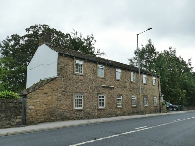
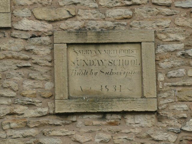
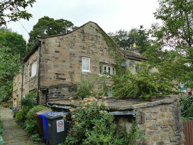
The town of Beverley boasts a rich history dating back to medieval times. It is known for its well-preserved architecture, particularly its charming timber-framed buildings and narrow cobbled streets. One of the most notable landmarks is the Beverley Minster, a stunning Gothic-style cathedral that has been a prominent feature of the town for centuries. Visitors can explore its intricate architecture and learn about its historical significance.
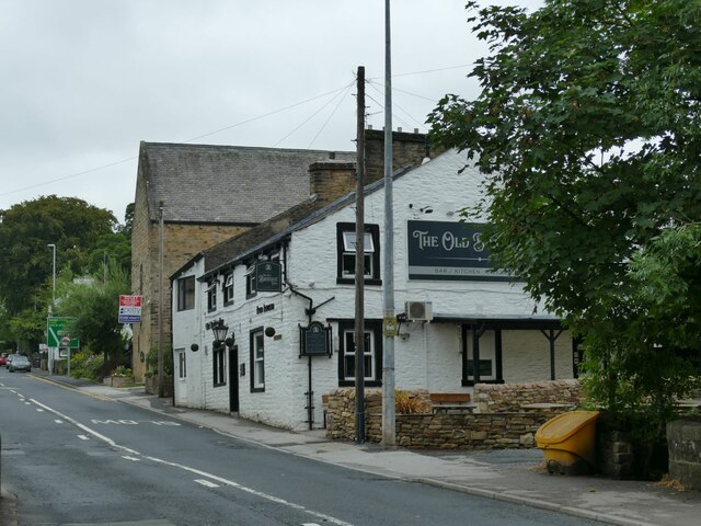
Beverley offers a range of amenities and services for both residents and visitors. The town center hosts a variety of shops, boutiques, and local businesses, as well as a weekly market where fresh produce and crafts are sold. There are also several traditional pubs, restaurants, and cafes that cater to different tastes.
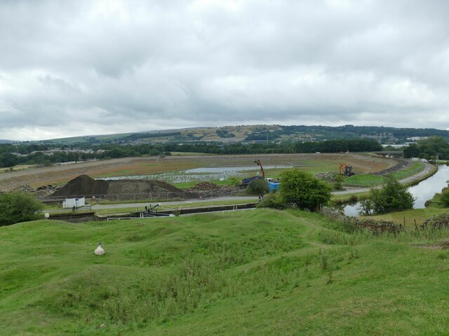
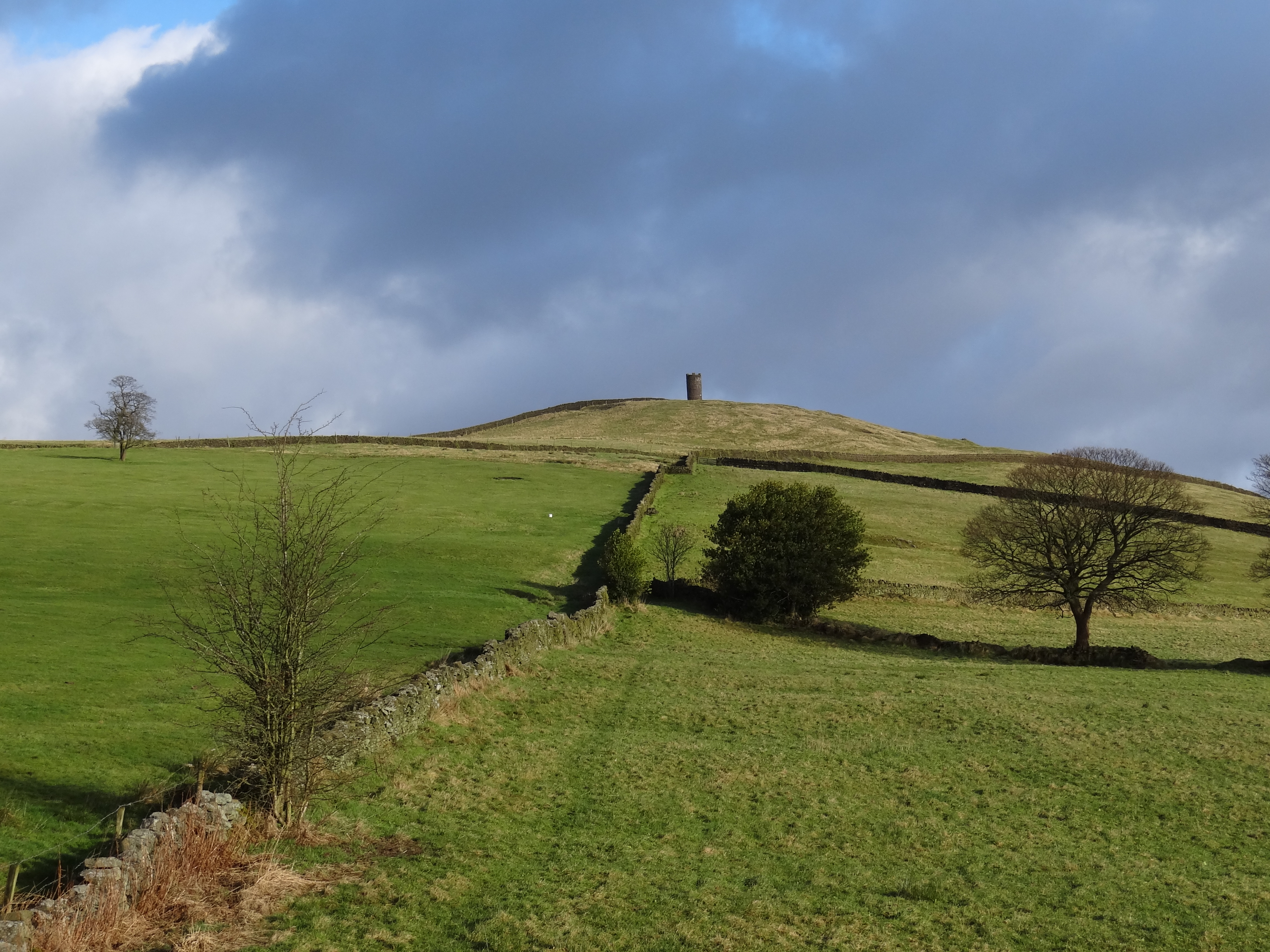
Surrounded by picturesque countryside, Beverley provides ample opportunities for outdoor pursuits. The town is located near the scenic Yorkshire Wolds, offering walking and cycling routes for nature enthusiasts. Additionally, the nearby River Hull provides opportunities for boating and fishing.
Overall, Beverley is a charming town that combines its rich history with a vibrant present. Its friendly community, stunning architecture, and proximity to natural beauty make it an attractive destination for both locals and tourists alike.
If you have any feedback on the listing, please let us know in the comments section below.
Beverley Images
Images are sourced within 2km of 53.869731/-2.2101954 or Grid Reference SD8641. Thanks to Geograph Open Source API. All images are credited.
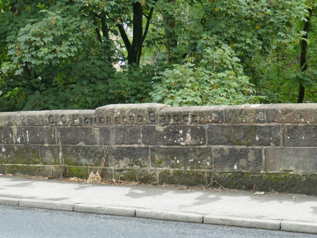
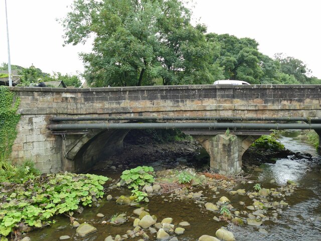
![Th' Owd Brig at Higherford This is described by Margaret Slack (Ref.1) as &#039;One of the most attractive packhorse bridges in [the Pennines] ...standing on the direct line of the Roman Road from Castercliffe to Ribchester. It was crossed by teams of packhorses bringing coal from near Gisburn and ... lime from Lothersdale.&#039; She adds that the date of the bridge is not known with certainty, but probably late 16th century.
The bridge crosses Pendle Water, draining the steep eastern scarp of that great hill, and subject to flash flooding; Slack relates a story that a bell used to hang from the bridge that rang a warning when water approached flood level.
Listed grade II *(List entry 1273194) and a Scheduled Monument. Originally it would have had no, or very low, parapets to allow ponies with low-hanging panniers to cross; the present parapets were added in 1815.
(1) &#039;The Bridges of Lancashire and Yorkshire&#039;, Margaret Slack, 1986.](https://s0.geograph.org.uk/geophotos/07/26/54/7265480_820bca99.jpg)
Beverley is located at Grid Ref: SD8641 (Lat: 53.869731, Lng: -2.2101954)
Administrative County: Lancashire
District: Pendle
Police Authority: Lancashire
What 3 Words
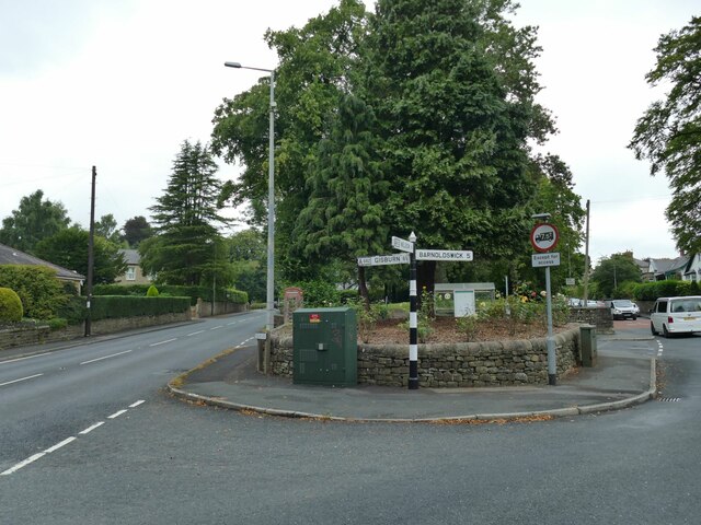
///atomic.flopping.belts. Near Barrowford, Lancashire
Nearby Locations
Related Wikis
Blacko
Blacko is a village and civil parish in the Pendle district of Lancashire, England. Before local government reorganisation in 1974 the village lay on...

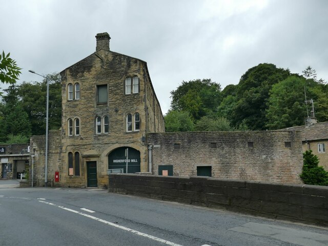
Higherford
Higherford is a village in the Pendle district of Lancashire, England. Although it is a village in its own right and shown on maps, it is sometimes confused...
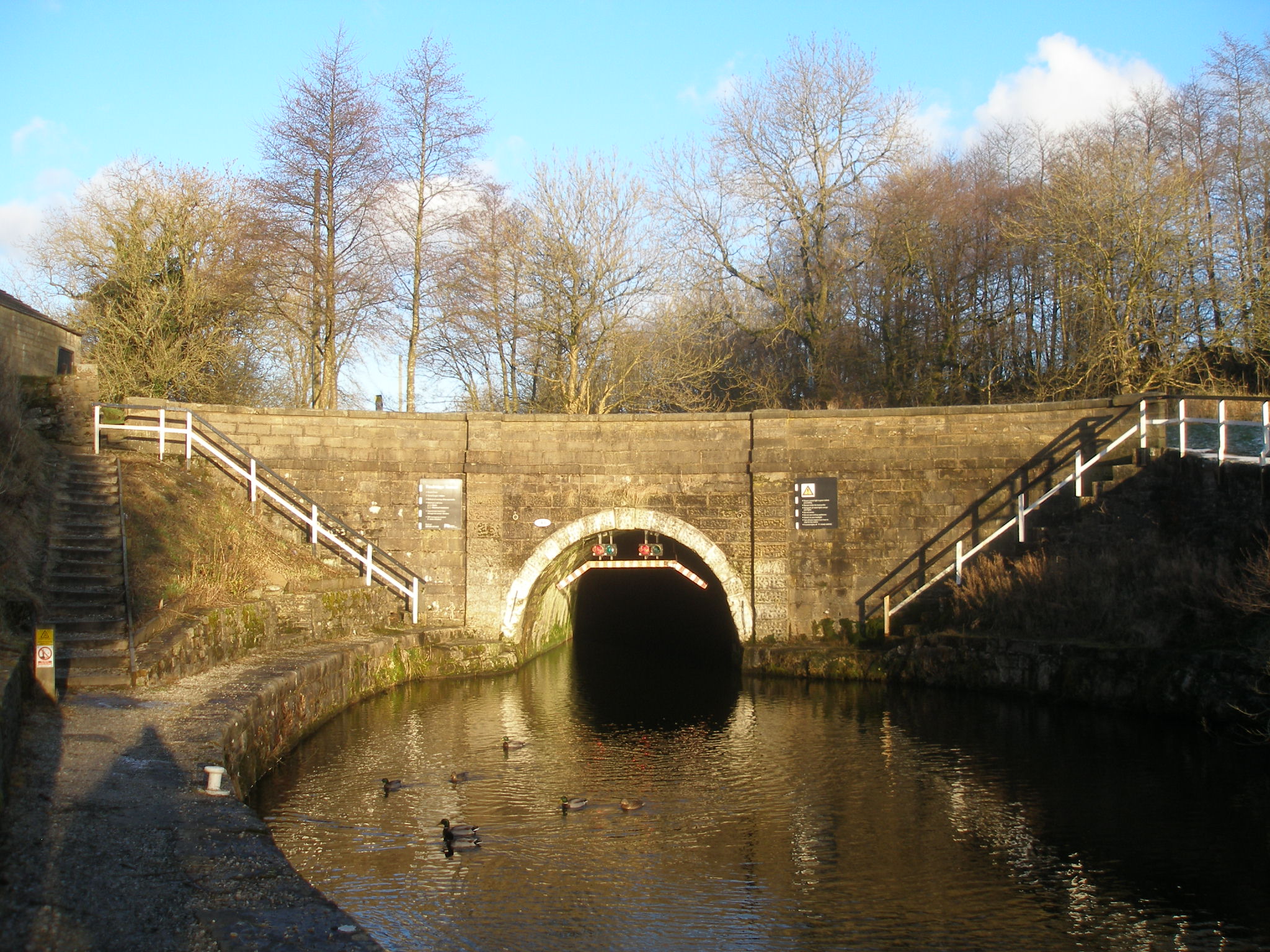
Foulridge Tunnel
The Foulridge Tunnel () is a canal tunnel on the Leeds and Liverpool Canal in Foulridge, Lancashire. Also known as the Mile Tunnel, Foulridge is 1,630...
Roughlee
Roughlee is a village in the civil parish of Roughlee Booth, in the Pendle district, in the county of Lancashire, England. It is close to Nelson, Barrowford...

Roughlee Booth
Roughlee Booth is a civil parish located in Pendle, Lancashire. It is approximately 449.43 hectares in size and situated in the Forest of Bowland AONB...
Barrowford
Barrowford () is a large village and civil parish in the Pendle district of Lancashire, England, north of Nelson, near the Forest of Bowland Area of Outstanding...

Colne F.C.
Colne Football Club is a football club based in Colne, Lancashire, England. Affiliated with the Lancashire County Football Association, they are currently...
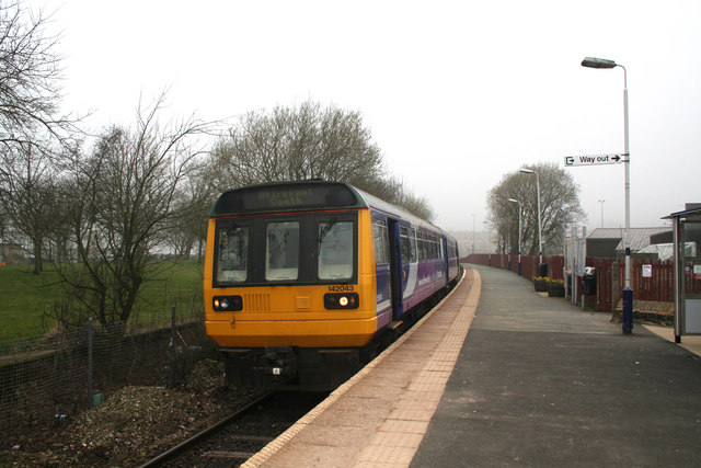
Colne railway station
Colne railway station serves the town of Colne, in Lancashire, England, which is situated close to Pendle Hill. The station, which is managed by Northern...
Related Videos
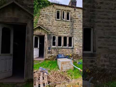
Beautiful Abandoned Places UK #shorts
Watch full videos of this abandoned house on my channel ⭐Please Subscribe To Help My Channel https://bit.ly/3fLVjed ...


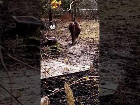
FRIENDLY HORSE WALKING
Horse walking after feeding in field near Victoria Park Nelson Lancashire England UK.
Nearby Amenities
Located within 500m of 53.869731,-2.2101954Have you been to Beverley?
Leave your review of Beverley below (or comments, questions and feedback).