Bell Hill

Settlement in Wiltshire

England

Bell Hill

Entrance to Morrisons loading bay Warminster
Entrance to Morrisons loading bay Warminster Credit: thejackrustles

The requested URL returned error: 429 Too Many Requests

If you have any feedback on the listing, please let us know in the comments section below.
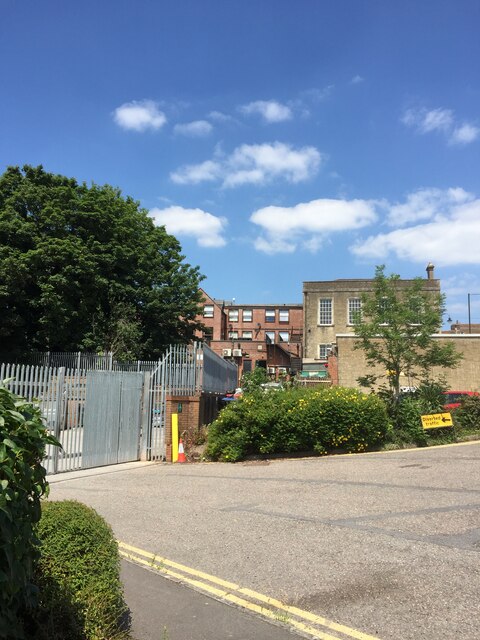
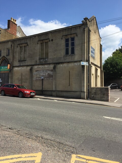
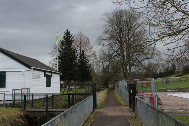
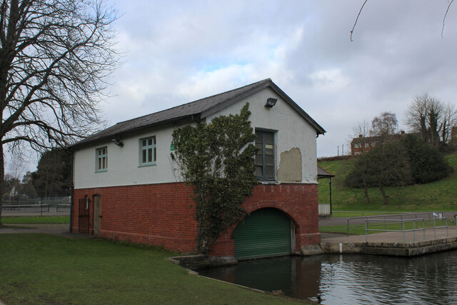
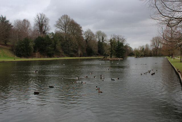
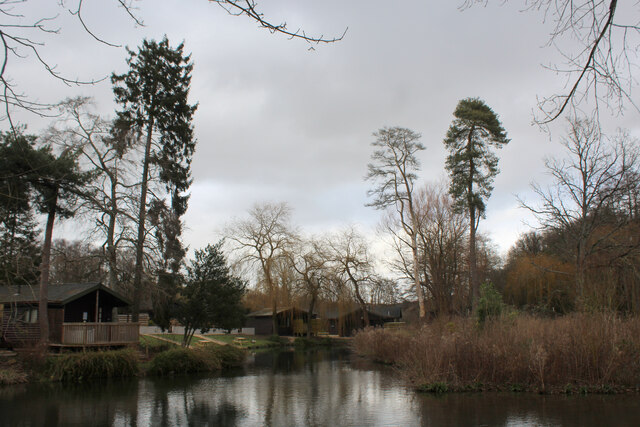
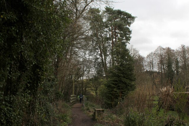
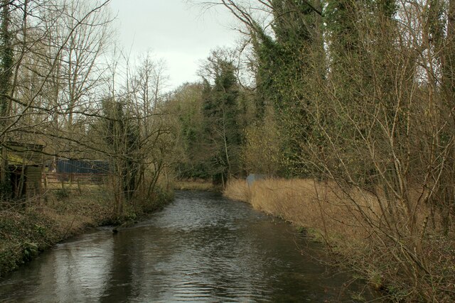
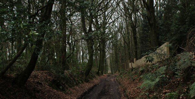
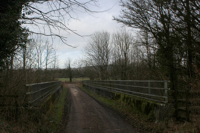
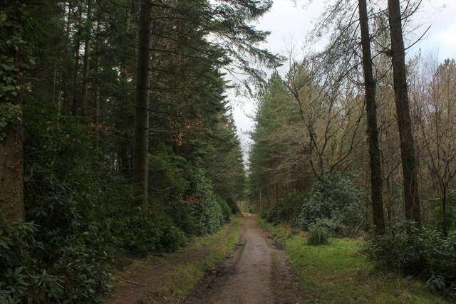
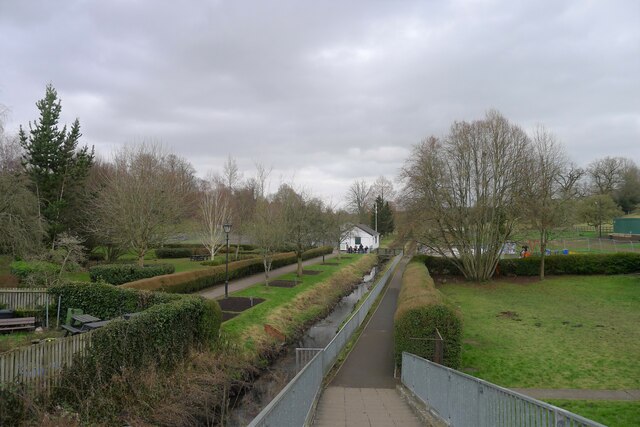
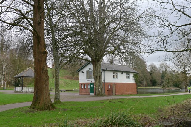
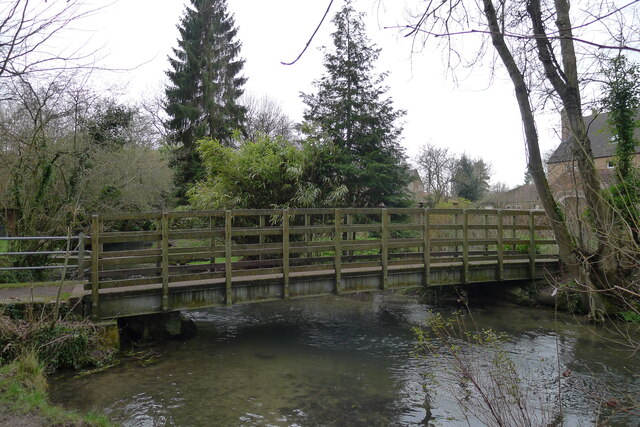
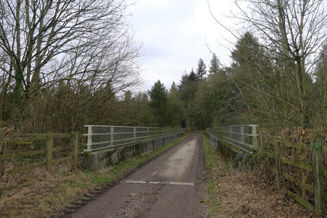
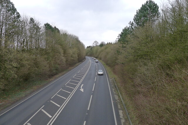
Bell Hill Images

Images are sourced within 2km of 51.197134/-2.1893342 or Grid Reference ST8644. Thanks to Geograph Open Source API. All images are credited.

Entrance to Morrisons loading bay Warminster
Number 13 Weymouth Road, Warminster
OS Cut Mark - Warminster,  Number 13 Weymouth Road <span class="nowrap"><a title="https://www.bench-marks.org.uk/bm35446" rel="nofollow ugc noopener" href="https://www.bench-marks.org.uk/bm35446">Link</a><img style="margin-left:2px;" alt="External link" title="External link - shift click to open in new window" src="https://s1.geograph.org.uk/img/external.png" width="10" height="10"/></span>
OS Cut Mark - Warminster, Number 13 Weymouth Road
Beside The Were Following a footpath beside The Were or Swan River, a tributary of the Wylye. The white wooden building is the Pavilion Cafe, part of the Warminster Pleasure Grounds.
Beside The Were
Following a footpath beside The Were or Swan River, a tributary of the Wylye. The white wooden building is the Pavilion Cafe, part of the Warminster Pleasure Grounds.
The Boathouse in Warminster Pleasure Grounds The building appears to have a double purpose as a boathouse, and public conveniences.
The Boathouse in Warminster Pleasure Grounds
The building appears to have a double purpose as a boathouse, and public conveniences.
The Boating Lake, Warminster Part of the Lake Pleasure Grounds in Warminster
The Boating Lake, Warminster
Part of the Lake Pleasure Grounds in Warminster
Hunters Moon Lodges A holiday park in Henfords Marsh beside the River Wylye, near Warminster
Hunters Moon Lodges
A holiday park in Henfords Marsh beside the River Wylye, near Warminster
Footpath in Henfords Marsh The path crosses the River Wylye near Warminster
Footpath in Henfords Marsh
The path crosses the River Wylye near Warminster
River Wylye near Warminster The river slowly makes its way through Henfords Marsh
River Wylye near Warminster
The river slowly makes its way through Henfords Marsh
Track in Woodcroft Wood Bridleway heading southwards to Southleigh Woods
Track in Woodcroft Wood
Bridleway heading southwards to Southleigh Woods
Bridge over the A36 Bridleway crossing the A36 from Southleigh Wood
Bridge over the A36
Bridleway crossing the A36 from Southleigh Wood
Southleigh Wood Track heading southwards to the village of Longbridge Deverill
Southleigh Wood
Track heading southwards to the village of Longbridge Deverill
The River Were (aka Swan River), Warminster Warminster = 'Church on the River Were' (were = old English for 'winding') <span class="nowrap"><a title="https://www.oxfordreference.com/view/10.1093/acref/9780199609086.001.0001/acref-9780199609086" rel="nofollow ugc noopener" href="https://www.oxfordreference.com/view/10.1093/acref/9780199609086.001.0001/acref-9780199609086">Link</a><img style="margin-left:2px;" alt="External link" title="External link - shift click to open in new window" src="https://s1.geograph.org.uk/img/external.png" width="10" height="10"/></span>
The River Were (aka Swan River), Warminster
Warminster = 'Church on the River Were' (were = old English for 'winding') LinkExternal link
Public convenience, Warminster Town Park Occupying a boathouse. The park was built in the 1920s on the site of the town's Old Refuse Tip and, as a labour-intensive scheme, helped alleviate the high unemployment after the First World War <span class="nowrap"><a title="https://wshc.org.uk/blog/item/warminster-lake-pleasure-grounds.html" rel="nofollow ugc noopener" href="https://wshc.org.uk/blog/item/warminster-lake-pleasure-grounds.html">Link</a><img style="margin-left:2px;" alt="External link" title="External link - shift click to open in new window" src="https://s1.geograph.org.uk/img/external.png" width="10" height="10"/></span>
Public convenience, Warminster Town Park
Occupying a boathouse. The park was built in the 1920s on the site of the town's Old Refuse Tip and, as a labour-intensive scheme, helped alleviate the high unemployment after the First World War LinkExternal link
Footbridge over the River Wylye, Henfords Marsh Leading from the southern edge of Warminster to Eastleigh and Southleigh woods
Footbridge over the River Wylye, Henfords Marsh
Leading from the southern edge of Warminster to Eastleigh and Southleigh woods
Bridleway track leading to Eastleigh Wood Crossing the A36 south of Warminster
Bridleway track leading to Eastleigh Wood
Crossing the A36 south of Warminster
The A36 south of Warminster Eastleigh Wood is on the right
The A36 south of Warminster
Eastleigh Wood is on the right
Bridleway into Southleigh Wood
Show me another place!

Bell Hill is located at Grid Ref: ST8644 (Lat: 51.197134, Lng: -2.1893342)

Unitary Authority: Wiltshire

Police Authority: Wiltshire

What 3 Words

///commutes.pats.below. Near Warminster, Wiltshire

Related Wikis

Christ Church, Warminster

Christ Church is an Anglican church building serving a parish on the southern side of Warminster, Wiltshire, England. == History == The church was built...

Warminster Town F.C.

Warminster Town Football Club are a football club based in Warminster, Wiltshire, England. They are currently members of the Western League Division One...

Warminster Town Hall

Warminster Town Hall is a former municipal building in the Market Place of Warminster, Wiltshire, England. The structure, which served as the headquarters...

Byne House

Byne House is a Grade II* listed house at 40 Church Street, Warminster, Wiltshire, England. It was built in 1755 for the clothier John Wansey, and is an...

Nearby Amenities

Located within 500m of 51.197134,-2.1893342
Crossing
Crossing: yes
Crossing Ref: zebra
Lat/Long: 51.2004676/-2.1862173
Post Box
Brand: Royal Mail
Brand Wikidata: Q638098
Collection Plate: CP1D
Collection Times: Mo-Fr 09:00; Sa 07:00
Last Checked: 2020-08-26
Old Ref: BA12 89
Operator: Royal Mail
Operator Wikidata: Q638098
Post Box Type: pillar
Ref: BA12 89D
Royal Cypher: EIIR
Royal Cypher Wikidata: Q33102113
Source: survey
Lat/Long: 51.1980037/-2.1890476
Post Box
Brand: Royal Mail
Brand Wikidata: Q638098
Collection Plate: CP7D
Collection Times: Mo-Fr 09:00; Sa 07:00
Last Checked: 2020-08-26
Old Ref: BA12 5
Operator: Royal Mail
Operator Wikidata: Q638098
Post Box Type: lamp
Ref: BA12 5D
Royal Cypher: EIIR
Royal Cypher Wikidata: Q33102113
Source: survey
Lat/Long: 51.1966739/-2.1951978
Turning Circle
Lat/Long: 51.2012026/-2.189674
Turning Circle
Lat/Long: 51.201087/-2.1886679
Pub
The Bell & Crown
Wikidata: Q26287808
Lat/Long: 51.1970619/-2.1896052
Crossing
Crossing: zebra
Lat/Long: 51.1983081/-2.1887542
Power: pole
Lat/Long: 51.1929797/-2.1907662
Power: pole
Lat/Long: 51.1929959/-2.1889724
Power: pole
Lat/Long: 51.1942322/-2.1855136
Power: pole
Lat/Long: 51.1959638/-2.1849497
Post Box
Brand: Royal Mail
Brand Wikidata: Q638098
Collection Plate: CP7D
Collection Times: Mo-Fr 09:00; Sa 07:00
Last Checked: 2020-08-26
Operator: Royal Mail
Operator Wikidata: Q638098
Post Box Type: lamp
Ref: BA12 52D
Royal Cypher: EIIR
Royal Cypher Wikidata: Q33102113
Source: survey
Lat/Long: 51.1966432/-2.1834174
Post Box
Brand: Royal Mail
Brand Wikidata: Q638098
Collection Plate: CP7D
Collection Times: Mo-Fr 09:00; Sa 07:00
Last Checked: 2020-08-26
Old Ref: BA12 15
Operator: Royal Mail
Operator Wikidata: Q638098
Post Box Type: lamp
Ref: BA12 15D
Royal Cypher: EIIR
Royal Cypher Wikidata: Q33102113
Source: survey
Lat/Long: 51.2004099/-2.1869503
Post Box
Brand: Royal Mail
Brand Wikidata: Q638098
Collection Plate: CP7D
Collection Times: Mo-Fr 09:00; Sa 07:00
Last Checked: 2020-08-26
Operator: Royal Mail
Operator Wikidata: Q638098
Post Box Type: lamp
Ref: BA12 92D
Royal Cypher: EIIR
Royal Cypher Wikidata: Q33102113
Source: survey
Lat/Long: 51.1962346/-2.1900399
Generator Method: photovoltaic
Generator Output Electricity: yes
Generator Source: solar
Generator Type: solar_photovoltaic_panel
Location: roof
Power: generator
Lat/Long: 51.199141/-2.1896079
Generator Method: photovoltaic
Generator Output Electricity: yes
Generator Source: solar
Generator Type: solar_photovoltaic_panel
Location: roof
Power: generator
Lat/Long: 51.1991107/-2.1894282
Generator Method: photovoltaic
Generator Output Electricity: yes
Generator Source: solar
Generator Type: solar_photovoltaic_panel
Location: roof
Power: generator
Lat/Long: 51.1990939/-2.1891332
Generator Method: photovoltaic
Generator Output Electricity: yes
Generator Source: solar
Generator Type: solar_photovoltaic_panel
Location: roof
Power: generator
Lat/Long: 51.1990603/-2.1856248
Generator Method: photovoltaic
Generator Output Electricity: yes
Generator Source: solar
Generator Type: solar_photovoltaic_panel
Location: roof
Power: generator
Lat/Long: 51.1980586/-2.1846941
Generator Method: photovoltaic
Generator Output Electricity: yes
Generator Source: solar
Generator Type: solar_photovoltaic_panel
Location: roof
Power: generator
Lat/Long: 51.1972586/-2.1898171
Generator Method: photovoltaic
Generator Output Electricity: yes
Generator Source: solar
Generator Type: solar_photovoltaic_panel
Location: roof
Power: generator
Lat/Long: 51.1957038/-2.1906003
Generator Method: photovoltaic
Generator Output Electricity: yes
Generator Source: solar
Generator Type: solar_photovoltaic_panel
Location: roof
Power: generator
Lat/Long: 51.1944482/-2.1904528
Generator Method: photovoltaic
Generator Output Electricity: yes
Generator Source: solar
Generator Type: solar_photovoltaic_panel
Location: roof
Power: generator
Lat/Long: 51.1940868/-2.1880201
Generator Method: photovoltaic
Generator Output Electricity: yes
Generator Source: solar
Generator Type: solar_photovoltaic_panel
Location: roof
Power: generator
Lat/Long: 51.1937994/-2.1872959
Generator Method: photovoltaic
Generator Output Electricity: yes
Generator Source: solar
Generator Type: solar_photovoltaic_panel
Location: roof
Power: generator
Lat/Long: 51.1936985/-2.1872154
Generator Method: photovoltaic
Generator Output Electricity: yes
Generator Source: solar
Generator Type: solar_photovoltaic_panel
Location: roof
Power: generator
Lat/Long: 51.1941826/-2.1872047
Generator Method: photovoltaic
Generator Output Electricity: yes
Generator Source: solar
Generator Type: solar_photovoltaic_panel
Location: roof
Power: generator
Lat/Long: 51.1953626/-2.1863142
Generator Method: photovoltaic
Generator Output Electricity: yes
Generator Source: solar
Generator Type: solar_photovoltaic_panel
Location: roof
Power: generator
Lat/Long: 51.1953391/-2.186231
Generator Method: photovoltaic
Generator Output Electricity: yes
Generator Source: solar
Generator Type: solar_photovoltaic_panel
Location: roof
Power: generator
Lat/Long: 51.1953559/-2.186864
Generator Method: photovoltaic
Generator Output Electricity: yes
Generator Source: solar
Generator Type: solar_photovoltaic_panel
Location: roof
Power: generator
Lat/Long: 51.1965257/-2.1891546
Generator Method: photovoltaic
Generator Output Electricity: yes
Generator Source: solar
Generator Type: solar_photovoltaic_panel
Location: roof
Power: generator
Lat/Long: 51.19644/-2.1880898
Generator Method: photovoltaic
Generator Output Electricity: yes
Generator Source: solar
Generator Type: solar_photovoltaic_panel
Location: roof
Power: generator
Lat/Long: 51.1963694/-2.1885619
Generator Method: photovoltaic
Generator Output Electricity: yes
Generator Source: solar
Generator Type: solar_photovoltaic_panel
Location: roof
Power: generator
Lat/Long: 51.1960047/-2.1890232
Generator Method: photovoltaic
Generator Output Electricity: yes
Generator Source: solar
Generator Type: solar_photovoltaic_panel
Location: roof
Power: generator
Lat/Long: 51.1957408/-2.1885887
Generator Method: photovoltaic
Generator Output Electricity: yes
Generator Source: solar
Generator Type: solar_photovoltaic_panel
Location: roof
Power: generator
Lat/Long: 51.1956147/-2.1882507
Generator Method: photovoltaic
Generator Output Electricity: yes
Generator Source: solar
Generator Type: solar_photovoltaic_panel
Location: roof
Power: generator
Lat/Long: 51.1960013/-2.1877438
Generator Method: photovoltaic
Generator Output Electricity: yes
Generator Source: solar
Generator Type: solar_photovoltaic_panel
Location: roof
Power: generator
Lat/Long: 51.1960635/-2.1879235
Generator Method: photovoltaic
Generator Output Electricity: yes
Generator Source: solar
Generator Type: solar_photovoltaic_panel
Location: roof
Power: generator
Lat/Long: 51.196119/-2.1846887
Generator Method: photovoltaic
Generator Output Electricity: yes
Generator Source: solar
Generator Type: solar_photovoltaic_panel
Location: roof
Power: generator
Lat/Long: 51.1963106/-2.1849892
Generator Method: photovoltaic
Generator Output Electricity: yes
Generator Source: solar
Generator Type: solar_photovoltaic_panel
Location: roof
Power: generator
Lat/Long: 51.1963106/-2.1843964
Generator Method: photovoltaic
Generator Output Electricity: yes
Generator Source: solar
Generator Type: solar_photovoltaic_panel
Location: roof
Power: generator
Lat/Long: 51.1967426/-2.1844929
Generator Method: photovoltaic
Generator Output Electricity: yes
Generator Source: solar
Generator Type: solar_photovoltaic_panel
Location: roof
Power: generator
Lat/Long: 51.1970333/-2.1842623
Generator Method: photovoltaic
Generator Output Electricity: yes
Generator Source: solar
Generator Type: solar_photovoltaic_panel
Location: roof
Power: generator
Lat/Long: 51.1972703/-2.1839592
Generator Method: photovoltaic
Generator Output Electricity: yes
Generator Source: solar
Generator Type: solar_photovoltaic_panel
Location: roof
Power: generator
Lat/Long: 51.1983494/-2.1825269
The data included in this document is from www.openstreetmap.org. The data is made available under ODbL.

Have you been to Bell Hill?

Leave your review of Bell Hill below (or comments, questions and feedback).