Beckfoot

Settlement in Cumberland Copeland

England

Beckfoot

Eskdale Heron Seen in the meadow, close to the River Esk, which lies immediately beyond the tree line.
Eskdale Heron Credit: Peter Trimming

Beckfoot is a small hamlet located in the county of Cumberland, England. Situated in the picturesque Lake District National Park, it is nestled amidst rolling hills and breathtaking landscapes. The hamlet is part of the larger parish of Caldbeck, which is known for its idyllic countryside and charming villages.

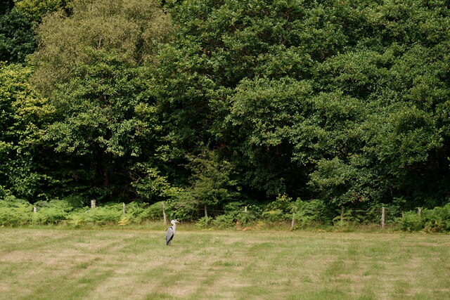
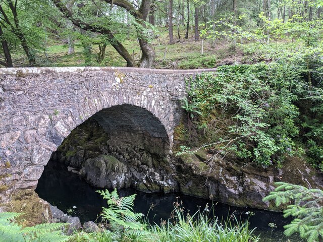
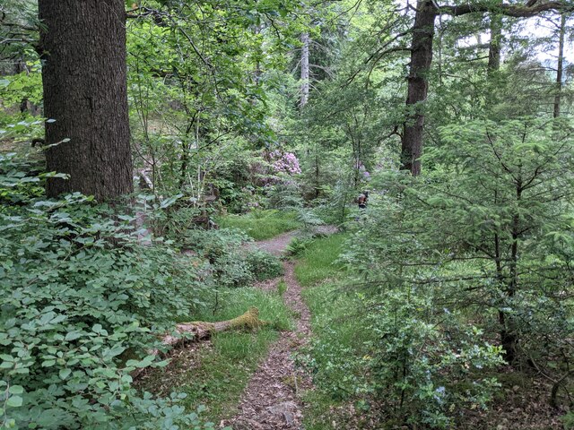
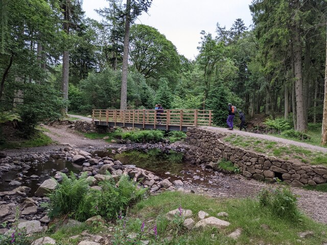
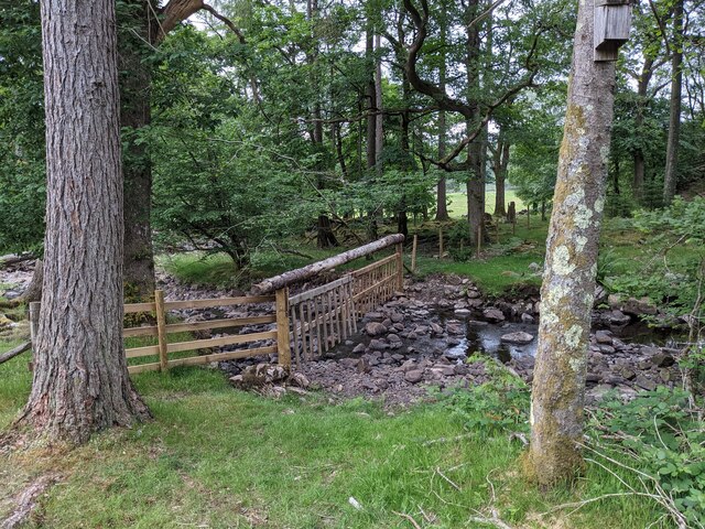
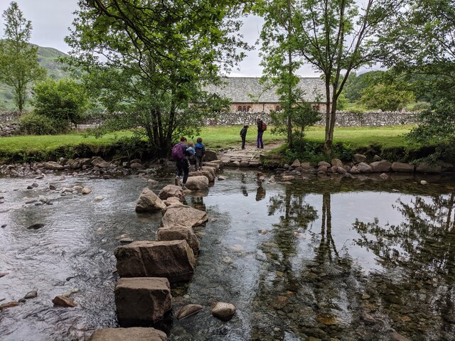
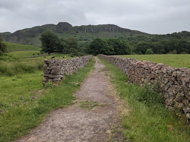
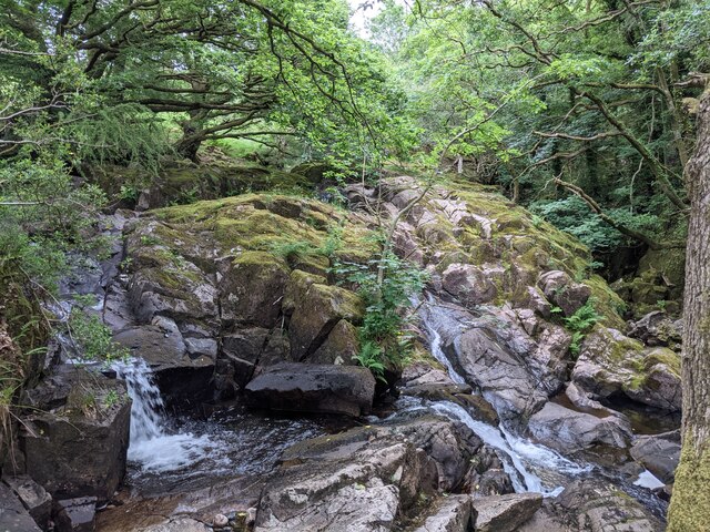
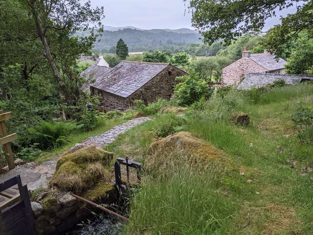
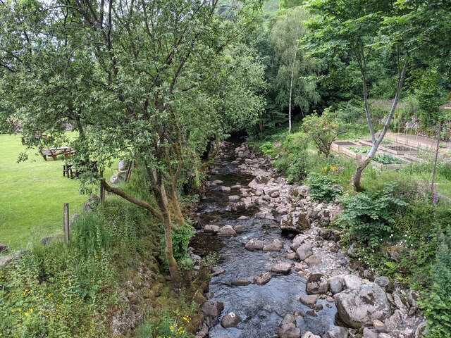
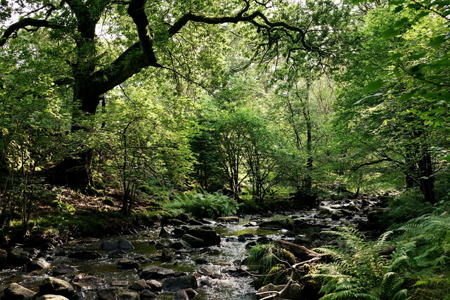
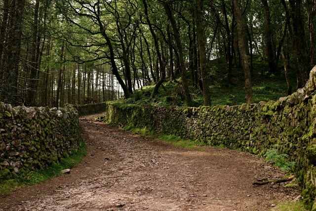
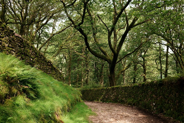
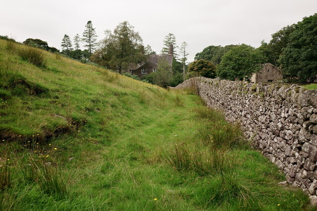
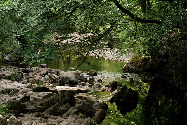
Beckfoot is characterized by its quaint and peaceful atmosphere, making it a popular destination for nature lovers and those seeking a tranquil retreat. The hamlet is surrounded by lush green fields, woodlands, and streams, providing ample opportunities for outdoor activities such as hiking, cycling, and fishing.

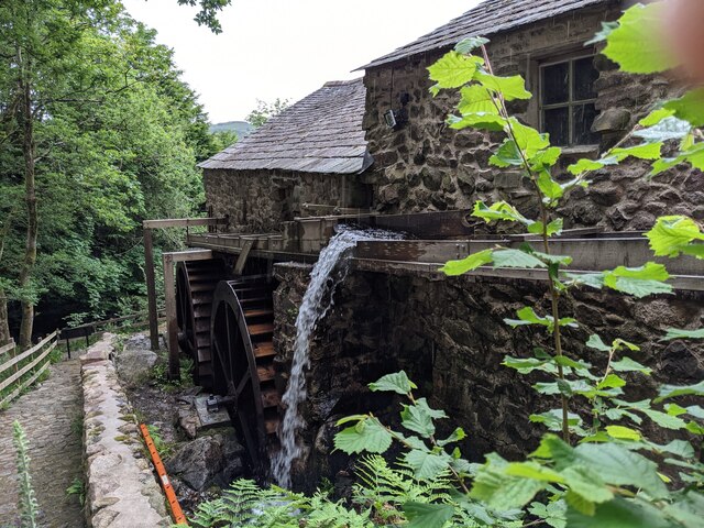
Despite its small size, Beckfoot boasts a rich history. It is believed to have been inhabited for centuries, and there are several historical landmarks in the area. One notable site is the Beckfoot Quaker Meeting House, which dates back to the 17th century and serves as a reminder of the Quaker community that once thrived in the region.

In terms of amenities, Beckfoot is relatively limited. However, nearby Caldbeck offers a range of facilities including shops, pubs, and restaurants, ensuring that residents and visitors have access to basic necessities and entertainment options.

Overall, Beckfoot is a charming and scenic hamlet in the heart of the Lake District. With its natural beauty and historical significance, it offers a peaceful retreat for those looking to escape the hustle and bustle of modern life.

If you have any feedback on the listing, please let us know in the comments section below.

Beckfoot Images

Images are sourced within 2km of 54.39262/-3.28212 or Grid Reference NY1600. Thanks to Geograph Open Source API. All images are credited.

Eskdale Heron Seen in the meadow, close to the River Esk, which lies immediately beyond the tree line.
Eskdale Heron
Seen in the meadow, close to the River Esk, which lies immediately beyond the tree line.
A fine bridge over the River Esk
A path through the woods near Dalegarth
A new bridge over Birker Beck I think the previous bridge (see: <a title="https://www.geograph.org.uk/photo/4455179)" href="https://www.geograph.org.uk/photo/4455179)">Link</a> was probably damaged by floods.
Curiously the beck, referred to in some other geographs as Stanley Ghyll Beck, is named on the OS 1:50k map, but not on the 1:25k map.
A new bridge over Birker Beck
I think the previous bridge (see: Link was probably damaged by floods. Curiously the beck, referred to in some other geographs as Stanley Ghyll Beck, is named on the OS 1:50k map, but not on the 1:25k map.
A hanging fence across Birker Beck To discourage sheep from using the stream bed as an escape to greener pastures.
A hanging fence across Birker Beck
To discourage sheep from using the stream bed as an escape to greener pastures.
The stepping stones - a fun way to cross the Esk
The bridleway to the footbridge across the Esk
Wildflowers and trees Near Esk View Farm.
Wildflowers and trees
Near Esk View Farm.
Diverted power source The water wheels at Eskdale Mill are not in use today, so the water is spilled back into the stream.
Diverted power source
The water wheels at Eskdale Mill are not in use today, so the water is spilled back into the stream.
Water-smoothed rocks in Whillan Beck
Top of the power supply The water is extracted here to drive the water wheels at Eskdale Mill, whose rooftops are visible.
Top of the power supply
The water is extracted here to drive the water wheels at Eskdale Mill, whose rooftops are visible.
Whillan Beck from the mill bridge
Stanley Ghyll Beck Seen from the start of the climb up to the waterfall.
Stanley Ghyll Beck
Seen from the start of the climb up to the waterfall.
Eskdale Track up to the new Stanley Force viewing platform. Most walkers take the path in the ravine to reach the viewing platform, returning via this track.
Eskdale
Track up to the new Stanley Force viewing platform. Most walkers take the path in the ravine to reach the viewing platform, returning via this track.
Eskdale Track down to the road, from the new Stanley Force viewing platform.
Eskdale
Track down to the road, from the new Stanley Force viewing platform.
Eskdale View towards Dalegarth Hall, from the track.
Eskdale
View towards Dalegarth Hall, from the track.
Eskdale Trough House bridge and the River Esk.
Eskdale
Trough House bridge and the River Esk.
Eskdale River Esk from Trough House Bridge.
Eskdale
River Esk from Trough House Bridge.
Show me another place!

Beckfoot is located at Grid Ref: NY1600 (Lat: 54.39262, Lng: -3.28212)

Administrative County: Cumbria

District: Copeland

Police Authority: Cumbria

What 3 Words

///youths.migrants.dripped. Near Seascale, Cumbria

Nearby Locations

Low Wood Beckfoot

Related Wikis

Beckfoot railway station

Beckfoot railway station is a railway station on the 15" gauge Ravenglass & Eskdale Railway in Cumbria. It is situated within a 1⁄2 mile (0.80 km) walk...

Dalegarth railway station

Dalegarth railway station is the easterly terminus of the 15-inch gauge Ravenglass and Eskdale Railway in Cumbria, England. It has a café and shop for...

Blea Tarn (Eskdale)

Blea Tarn is a lake in Cumbria, England, located about half a mile north of Beckfoot. Located at an elevation of 217 m (712 ft), the lake has an area...

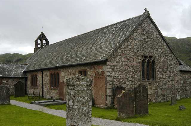
St Catherine's Church, Boot

St Catherine's Church is in the village of Boot, Cumbria, England. It is the Anglican parish church of Eskdale, Cumbria, and is in the deanery of Calder...

Boot, Cumbria

Boot is a small village in Eskdale, Cumbria, in the Lake District of England. It forms part of the Borough of Copeland. There are two roads from which...

Eskdale, Cumbria

Eskdale is a glacial valley and civil parish in the western Lake District National Park in Cumbria, England. It forms part of the Borough of Copeland...

Fisherground railway station

Fisherground railway station, also known as Fisherground Halt, is on the 15-inch (380 mm) gauge Ravenglass & Eskdale Railway in Cumbria, England. Its main...

Burnmoor stone circles

The Burnmoor Stone Circles are a group of five different approximately 4000-year-old stone circles in Cumbria. They are around 1 mile north of the village...

Nearby Amenities

Located within 500m of 54.39262,-3.28212
Beckfoot
Place: hamlet
Source: npe
Lat/Long: 54.3919655/-3.2821119
Dalegarth
Abandoned Railway: station
Railway: site
Lat/Long: 54.3958227/-3.2775659
Beckfoot
Naptan AtcoCode: 940GZZREBCK
Operator: Ravenglass & Eskdale Railway
Railway: station
Source: Bing
Usage: tourism
Website: https://ravenglass-railway.co.uk/
Wikidata: Q4878703
Wikipedia: en:Beckfoot railway station
Lat/Long: 54.392606/-3.2824194
Bus Stop
Beckfoot Bridge
Local Ref: AT
Naptan AtcoCode: 090050081307
Naptan Bearing: E
Naptan BusStopType: CUS
Naptan CommonName: Beckfoot Bridge
Naptan Indicator: at
Naptan Landmark: Beckfoot Bridge
Naptan NaptanCode: cumatwda
Naptan Street: No name
Naptan Verified: no
Source: naptan_import
Lat/Long: 54.3928358/-3.281781
Description: War memorial
Historic: memorial
Lat/Long: 54.3938089/-3.2777678
Crossing Barrier: no
Crossing Bell: no
Crossing Light: no
Railway: level_crossing
Lat/Long: 54.3929455/-3.2818994
Bench
Lat/Long: 54.3937857/-3.2777944
Bench
Lat/Long: 54.3938094/-3.2778061
Barrier: stile
Lat/Long: 54.3941667/-3.2776882
Hollinghead Bank
Place: locality
Lat/Long: 54.396302/-3.284808
Low Wood
Natural: wood
Lat/Long: 54.3892708/-3.2847356
Peat Huts
Historic: yes
Lat/Long: 54.3958138/-3.2871706
Peat Huts
Historic: yes
Lat/Long: 54.3952127/-3.2856796
Power: pole
Lat/Long: 54.3961106/-3.2779542
Power: pole
Lat/Long: 54.3954869/-3.2768086
Force Wood
Natural: wood
Lat/Long: 54.3887624/-3.2797854
Ash Hagg
Place: locality
Lat/Long: 54.3909344/-3.2764721
Dalegarth Hall
Tourism: guest_house
Website: https://www.sallyscottages.co.uk/cottages/dalegarth-hall
Lat/Long: 54.3897789/-3.2797971
Power: pole
Lat/Long: 54.393549/-3.2826321
Power: pole
Lat/Long: 54.3932539/-3.2821919
Power: pole
Lat/Long: 54.3917994/-3.286386
Power: pole
Lat/Long: 54.3924063/-3.2851569
Power: pole
Lat/Long: 54.3929677/-3.2839183
Power: pole
Lat/Long: 54.3941503/-3.2815231
Power: pole
Lat/Long: 54.3948892/-3.280174
Power: pole
Lat/Long: 54.3954317/-3.2791583
Power: pole
Lat/Long: 54.3961095/-3.2779426
Power: pole
Lat/Long: 54.3950911/-3.2789849
Power: pole
Lat/Long: 54.395039/-3.2767993
The data included in this document is from www.openstreetmap.org. The data is made available under ODbL.

Have you been to Beckfoot?

Leave your review of Beckfoot below (or comments, questions and feedback).