Baylham Stone
Settlement in Suffolk Mid Suffolk
England
Baylham Stone
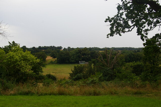
Baylham Stone is a small village located in the county of Suffolk, in the eastern part of England. It is situated approximately 7 miles north of Ipswich, the county town. The village is located in a rural area, surrounded by picturesque countryside and farmland.
Baylham Stone is known for its historic significance, with evidence of human habitation in the area dating back to the Roman period. The village takes its name from a large standing stone, known as the Baylham Stone, which is located on the outskirts of the village. This stone is believed to have been a boundary marker or a pagan religious site in ancient times.
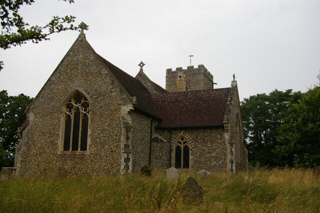
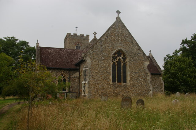
The village itself is small, with a population of around 300 people. It has a charming and traditional feel, with a few old cottages and buildings, including a medieval church. The community is close-knit, with a friendly and welcoming atmosphere.
Despite its small size, Baylham Stone has a few amenities to offer its residents and visitors. There is a village pub, which serves as a popular gathering place for locals. The surrounding countryside also provides opportunities for outdoor activities such as walking, cycling, and horse riding.
In summary, Baylham Stone is a quaint and historic village in Suffolk, England. With its rural setting, ancient standing stone, and friendly community, it offers a peaceful and idyllic retreat for those seeking to escape the hustle and bustle of city life.
If you have any feedback on the listing, please let us know in the comments section below.
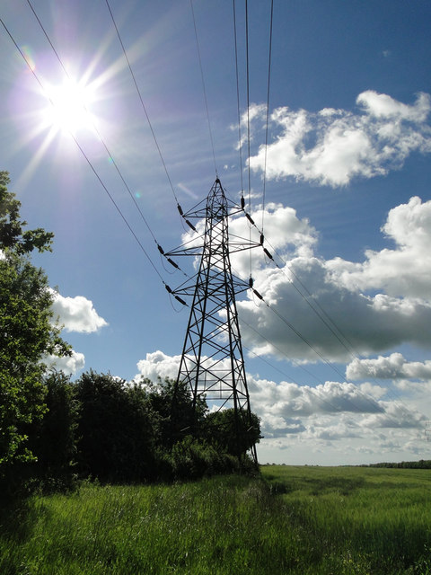
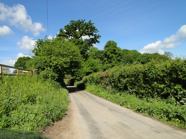
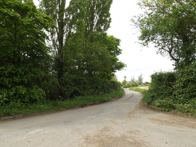
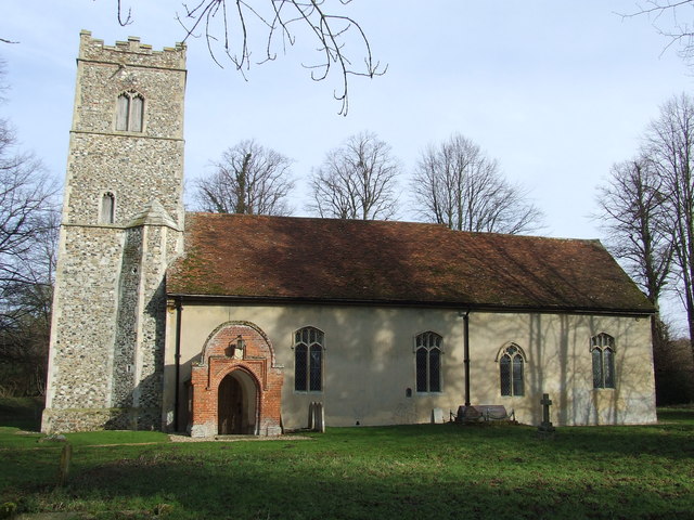
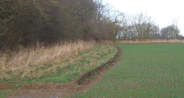
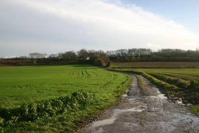
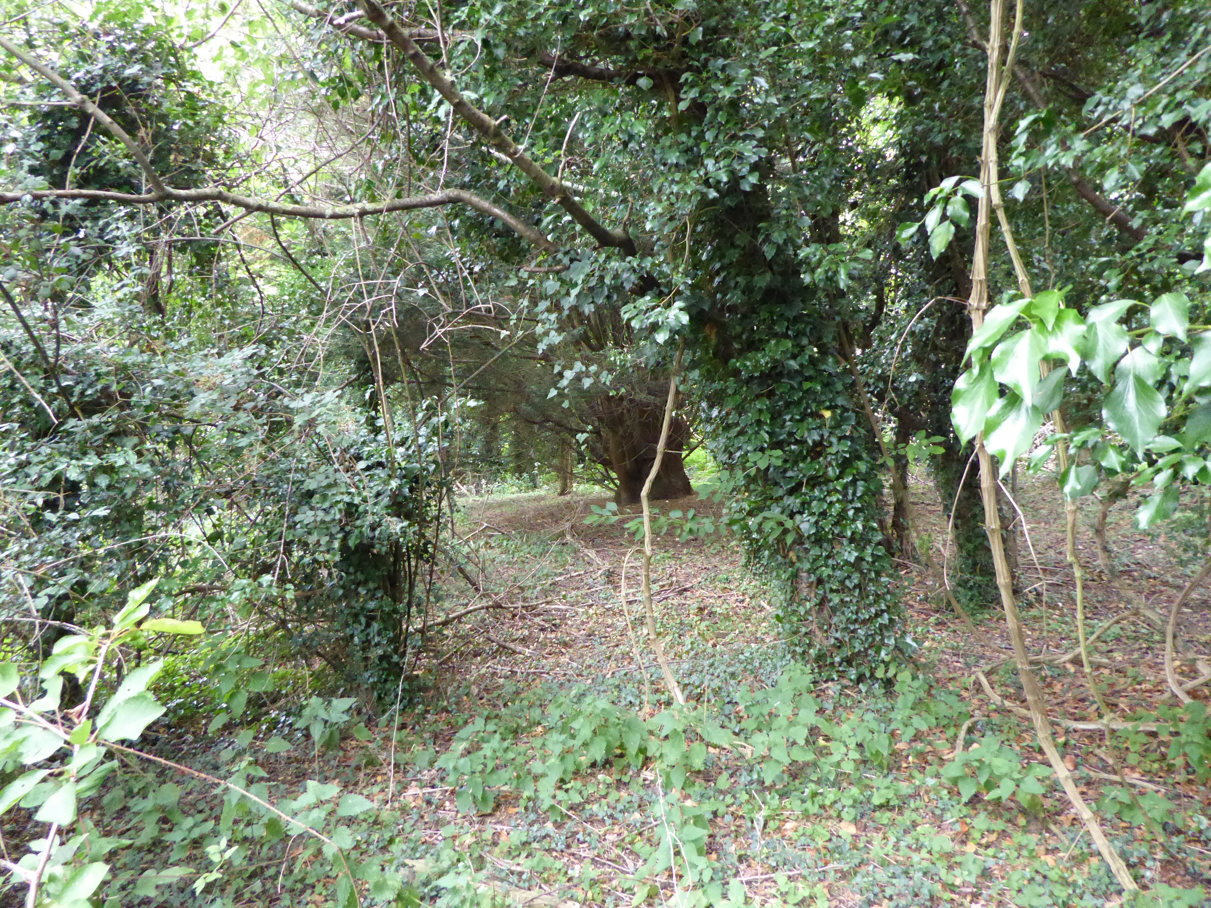
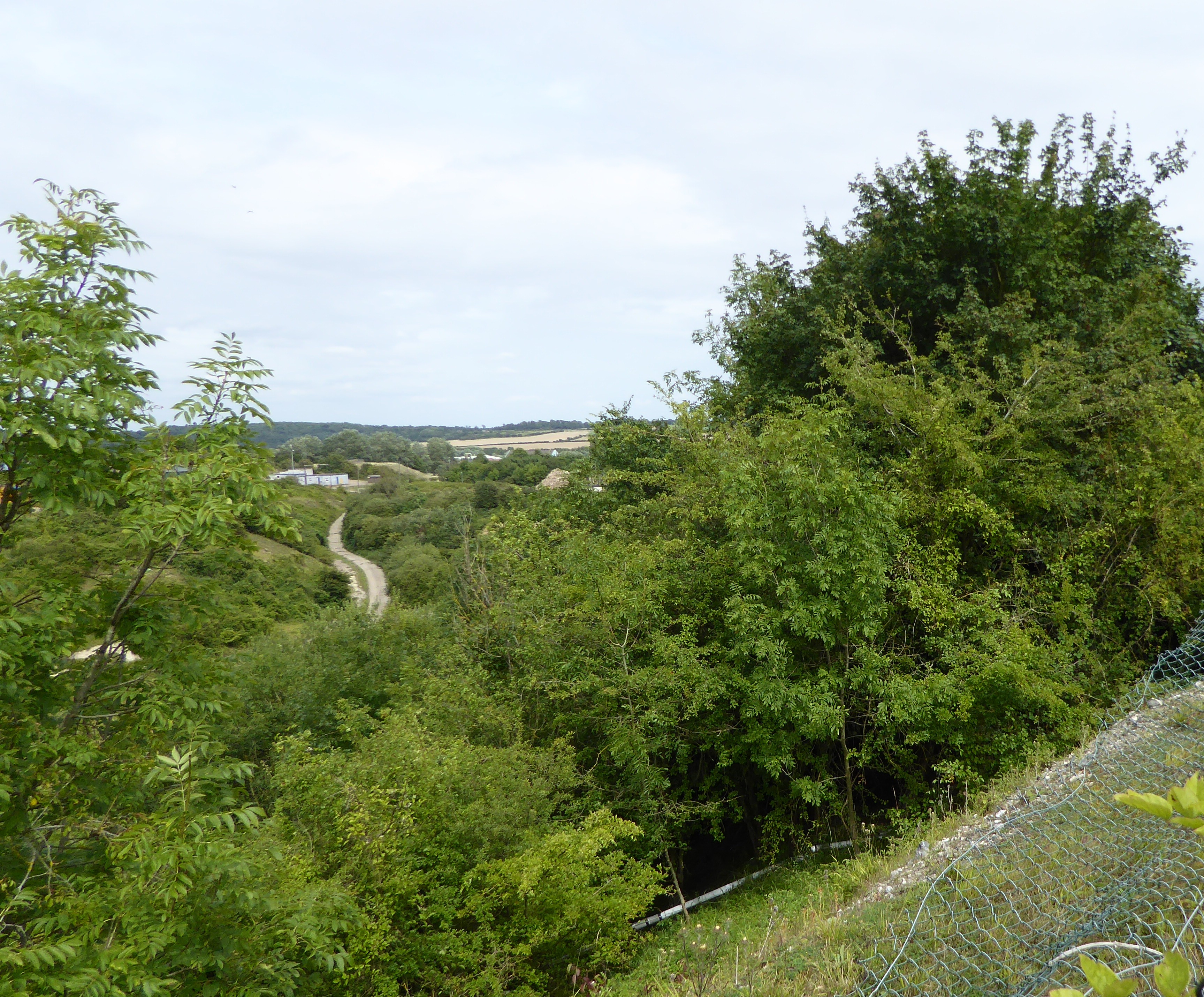
Baylham Stone Images
Images are sourced within 2km of 52.117101/1.0558697 or Grid Reference TM0950. Thanks to Geograph Open Source API. All images are credited.


Baylham Stone is located at Grid Ref: TM0950 (Lat: 52.117101, Lng: 1.0558697)
Administrative County: Suffolk
District: Mid Suffolk
Police Authority: Suffolk
What 3 Words
///undercuts.sonic.glad. Near Claydon, Suffolk
Nearby Locations
Related Wikis
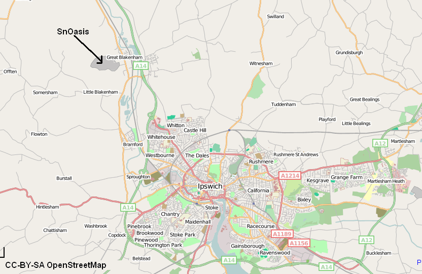
Valley Ridge (Winter sports resort)
Valley Ridge (formerly known as SnOasis) was a proposed ski and sports resort in Great Blakenham near Ipswich, Suffolk, England. In March 2021, the plan...
Nettlestead, Suffolk
Nettlestead is a dispersed village and civil parish in the Mid Suffolk district of Suffolk in eastern England.The surrounding villages of Nettlestead include...

Baylham
Baylham is a village and civil parish, 1,349 acres size, in the Mid Suffolk district of Suffolk, England, about 7 miles (11 km) northwest of Ipswich and...
Bonny Wood
Bonny Wood is a 20 hectare nature reserve east of Barking Tye in Suffolk. It is managed by the Suffolk Wildlife Trust. The site is part of the Barking...
Barking Woods
Barking Woods is a 98.7-hectare (244-acre) biological Site of Special Scientific Interest in six separate blocks north-east of Ipswich in Suffolk. Part...

Somersham, Suffolk
Somersham (also known as Lower Somersham) is a village and civil parish in the Mid Suffolk district of Suffolk in eastern England, approximately 5 miles...
Little Blakenham Pit
Little Blakenham Pit is a 3.4-hectare (8.4-acre) biological Site of Special Scientific Interest in Little Blakenham in Suffolk.A 127 metre long tunnel...
Great Blakenham Pit
Great Blakenham Pit is a 2.2-hectare (5.4-acre) geological Site of Special Scientific Interest south of Great Blakenham in Suffolk. It is a Geological...
Nearby Amenities
Located within 500m of 52.117101,1.0558697Have you been to Baylham Stone?
Leave your review of Baylham Stone below (or comments, questions and feedback).