Basildon
Settlement in Essex Basildon
England
Basildon
Basildon is a town located in the county of Essex, England. With a population of around 107,000 people, it is considered one of the largest towns in the county. Basildon is situated about 32 miles east of Central London, making it a popular commuter town for those working in the capital.
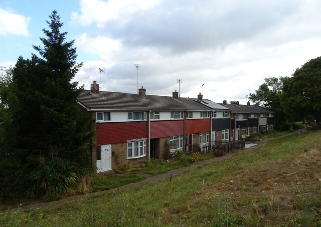
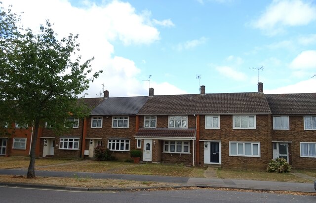
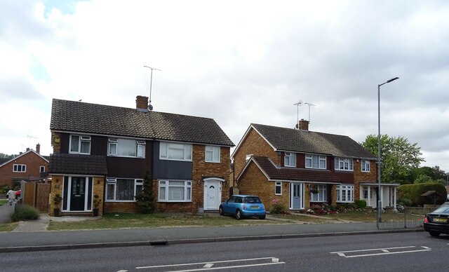
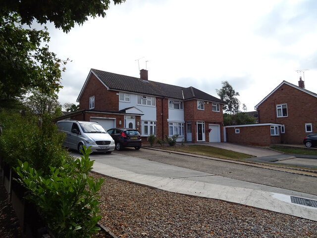
Originally designated as a New Town in 1949, Basildon was developed as part of the post-war reconstruction efforts. The town was planned to relieve overcrowding in London and provide affordable housing for its residents. As a result, Basildon has a distinct layout with numerous housing estates, including the famous "Basildon Plotlands," characterized by their bungalow-style homes.
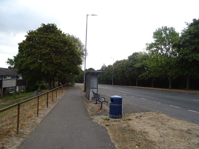
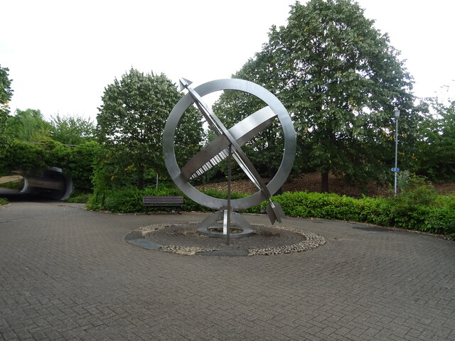
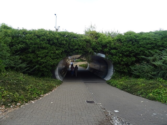
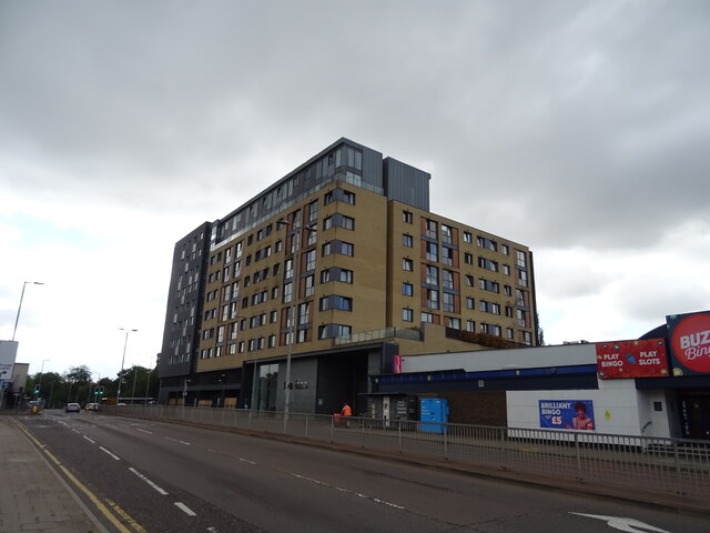
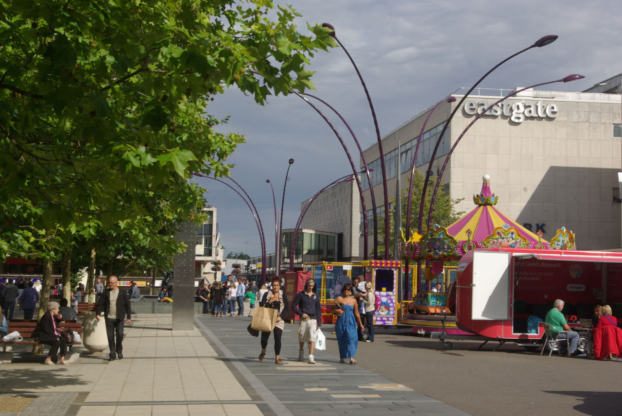
In addition to its residential areas, Basildon has a bustling town center known as Basildon Town Square. Here, visitors can find a variety of shops, restaurants, and entertainment venues, including the Eastgate Shopping Centre, which is the largest shopping mall in the area. The town also boasts several parks and green spaces, such as Gloucester Park and Wat Tyler Country Park, providing recreational opportunities for residents and visitors alike.
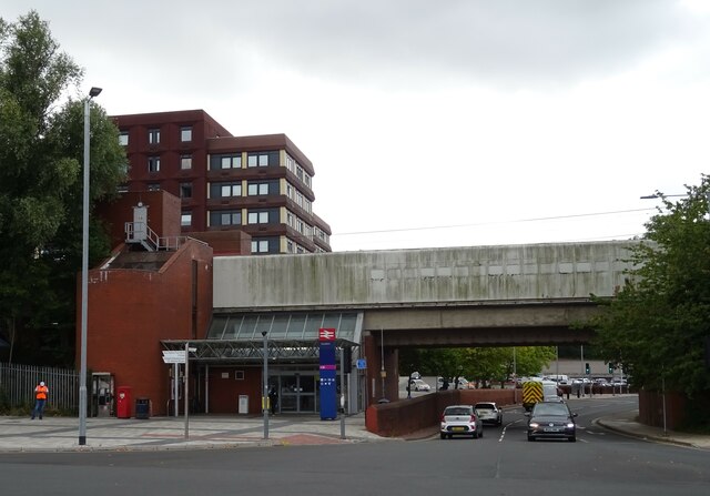
Transportation in Basildon is well-served by both road and rail networks. The town is conveniently located near the A127 and A13 roads, which connect to major motorways, allowing easy access to London and other parts of the country. Basildon railway station offers regular train services to London, Southend-on-Sea, and other nearby towns.
Overall, Basildon is a vibrant town that combines its rich history as a post-war New Town with modern amenities, making it an attractive place to live, work, and visit.
If you have any feedback on the listing, please let us know in the comments section below.
Basildon Images
Images are sourced within 2km of 51.57067/0.45239571 or Grid Reference TQ7088. Thanks to Geograph Open Source API. All images are credited.
Basildon is located at Grid Ref: TQ7088 (Lat: 51.57067, Lng: 0.45239571)
Administrative County: Essex
District: Basildon
Police Authority: Essex
What 3 Words
///bleat.zebra.flesh. Near Basildon, Essex
Nearby Locations
Related Wikis
Borough of Basildon
The Borough of Basildon is a local government district with borough status in Essex, England. The borough is named after its largest town, Basildon, where...

Basildon Town Centre
Basildon Town Centre is a planned town centre developed during the creation of the town of Basildon, Essex, in the 1950s. The architect Sir Basil Spence...

Gloucester Park, Basildon
Gloucester Park in Basildon is an urban neighbourhood park, named after the Duke of Gloucester, who opened the park in 1957. In the 1970s a 6-acre (24...

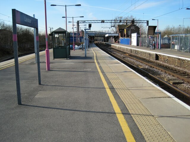
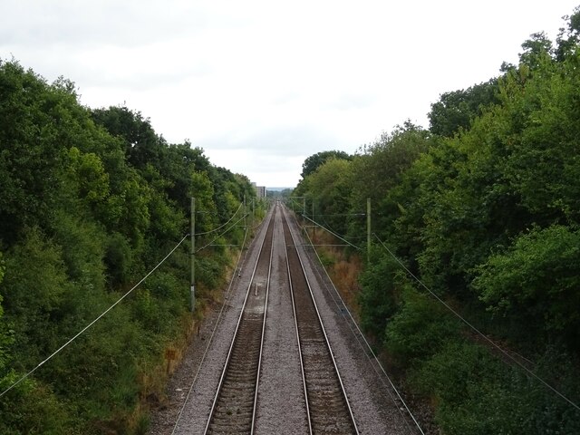
Basildon railway station
Basildon railway station is on the London, Tilbury and Southend line, serving the town of Basildon, Essex. It is 24 miles 26 chains (39.1 km) down the...

Woodlands School, Basildon
Woodlands School is a secondary school in Basildon, Essex. The school currently educates more than 1600 students from Basildon and South East Essex....
PROCAT
PROCAT is a further education college based in Basildon, Essex, England, with an additional campus in Canvey Island. PROCAT is an acronym of "Prospect...

Basildon Urban District
Basildon Urban District (from 1934 to 1955 Billericay Urban District) was a local government district in south Essex, England from 1934 to 1974. The district...
De La Salle School, Basildon
De La Salle School is a Roman Catholic voluntary aided school located in Basildon, Essex for boys and girls aged 11 to 16, in the Trusteeship of the La...
Nearby Amenities
Located within 500m of 51.57067,0.45239571Have you been to Basildon?
Leave your review of Basildon below (or comments, questions and feedback).