Barrow

Settlement in Somerset South Somerset

England

Barrow

Leland Trail in Blackslough Wood The trail in the woods of the Stourhead Estate, before emerging into open countryside
Leland Trail in Blackslough Wood Credit: Chris Heaton

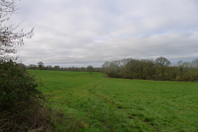
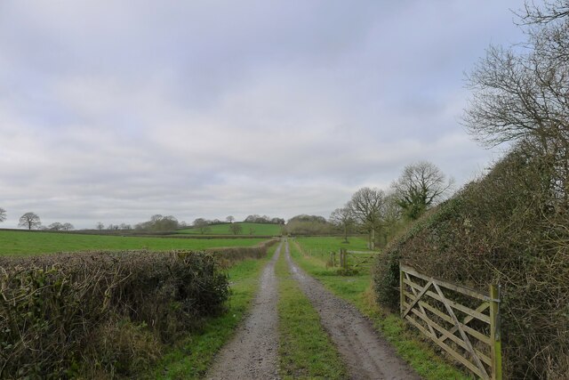
Barrow is a picturesque village nestled in the heart of Somerset, England. Located about 5 miles southwest of the bustling market town of Yeovil, Barrow is surrounded by rolling hills and lush countryside, offering residents and visitors a peaceful retreat from the urban bustle.

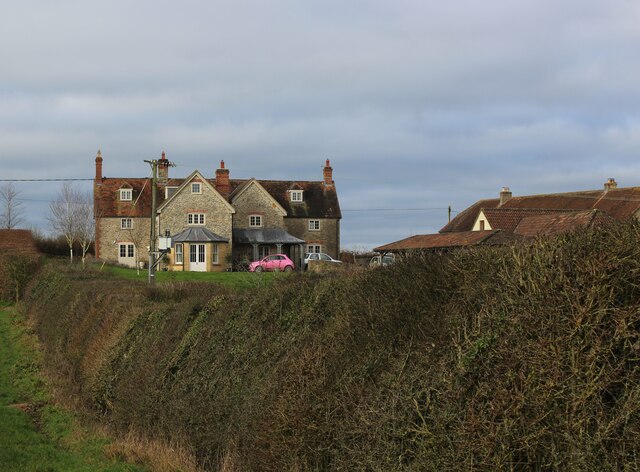
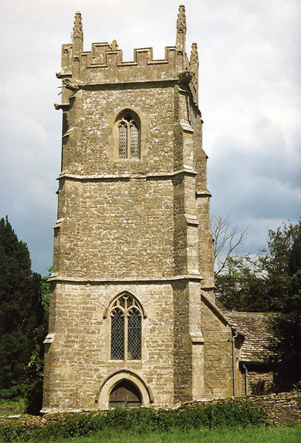
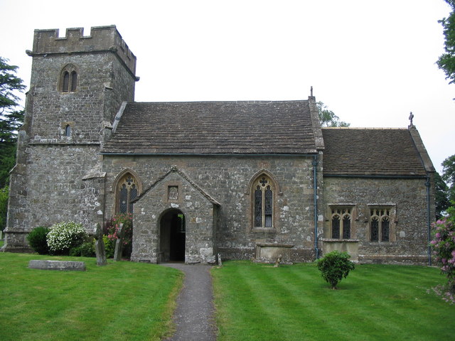
With a population of around 1,500, Barrow maintains a close-knit community atmosphere. The village is characterized by its quaint thatched cottages, traditional buildings, and charming narrow lanes. The local church, St. Bartholomew's, is a prominent feature, dating back to the 13th century and displaying stunning medieval architecture.

Barrow offers a range of amenities to its residents, including a primary school, village hall, and a few local shops and pubs. The village also boasts a cricket ground, where matches are played during the summer months, attracting both players and spectators.

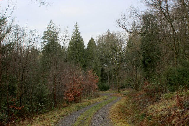
Nature enthusiasts will appreciate the nearby Barrow Hill Local Nature Reserve, a haven for wildlife and a popular spot for walking and birdwatching. The reserve encompasses a diverse range of habitats, including woodland, meadows, and ponds, providing ample opportunities to explore and connect with nature.

Transport links are well-established, with regular bus services connecting Barrow to neighboring towns and villages. The village also benefits from proximity to major road networks, making it easily accessible for commuters and travelers alike.

In summary, Barrow, Somerset, is a charming rural village that offers a tranquil and idyllic lifestyle amidst stunning natural beauty. Its rich history, strong community spirit, and convenient amenities make it an attractive place to live or visit in Somerset.

If you have any feedback on the listing, please let us know in the comments section below.
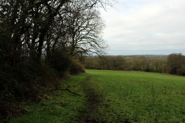
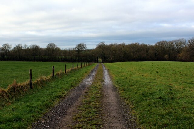
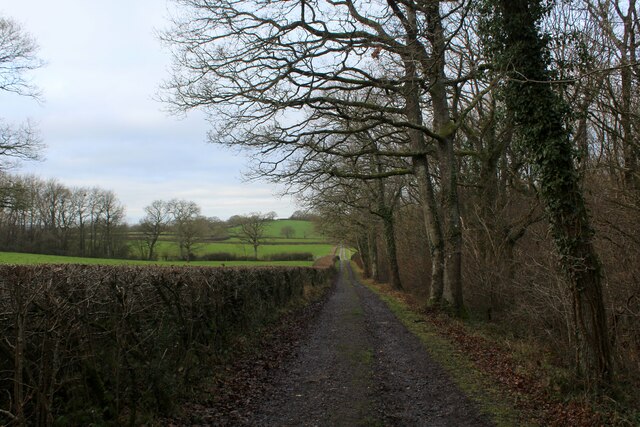
Barrow Images

Images are sourced within 2km of 51.09074/-2.3891001 or Grid Reference ST7232. Thanks to Geograph Open Source API. All images are credited.

Leland Trail in Blackslough Wood The trail in the woods of the Stourhead Estate, before emerging into open countryside
Leland Trail in Blackslough Wood
The trail in the woods of the Stourhead Estate, before emerging into open countryside
Leland Trail emerging from the Woods on the Stourhead Estate This path has been adopted by two long distance footpaths - the relatively short Leland Trail, and the lengthy MacMillan Way.
Here they emerge from extensive woodland into open countryside.
Leland Trail emerging from the Woods on the Stourhead Estate
This path has been adopted by two long distance footpaths - the relatively short Leland Trail, and the lengthy MacMillan Way. Here they emerge from extensive woodland into open countryside.
Leland Trail adopts an Old Coach Road The Leland Trail now adopts a path that describes a perfect straight line on the map for roughly three miles - this is an old coach road heading for Redlynch. Sometimes a track, sometimes a mud quagmire and sometimes pasture with all evidence of a historic route rendered invisible.
Leland Trail adopts an Old Coach Road
The Leland Trail now adopts a path that describes a perfect straight line on the map for roughly three miles - this is an old coach road heading for Redlynch. Sometimes a track, sometimes a mud quagmire and sometimes pasture with all evidence of a historic route rendered invisible.
Leland Trail beside Stavordale Wood The Leland Trail and Macmillan Way long distance footpaths adopt the old coach road that once ran between Stourhead and Redlynch.
Leland Trail beside Stavordale Wood
The Leland Trail and Macmillan Way long distance footpaths adopt the old coach road that once ran between Stourhead and Redlynch.
Approaching Coachroad Farmhouse The Leland Trail and MacMillan Way long distance footpath following the old coach road between Stourhead and Redlynch - the farm taking its name from this feature.
Approaching Coachroad Farmhouse
The Leland Trail and MacMillan Way long distance footpath following the old coach road between Stourhead and Redlynch - the farm taking its name from this feature.
Coachroad Farmhouse Passed by on the Leland Trail and MacMillan Way long distance footpaths, adopting the old coach road that once ran between Stourhead and Redlynch - hence the name of the farm.
Coachroad Farmhouse
Passed by on the Leland Trail and MacMillan Way long distance footpaths, adopting the old coach road that once ran between Stourhead and Redlynch - hence the name of the farm.
Old Coach Road approaching Walk Copse Part of the old coach road that describes an arrow straight course between the woods on the Stourhead Estate and Redlynch - some three miles in length.
Old Coach Road approaching Walk Copse
Part of the old coach road that describes an arrow straight course between the woods on the Stourhead Estate and Redlynch - some three miles in length.
Leland Trail outside Brewhamfields Farm The Leland Trail and Macmillan Way long distance footpaths on a section of the old coach road between Stourhead and Redlynch.
It is a sloppy mess at this point, resembling the consistency of thick custard.
Leland Trail outside Brewhamfields Farm
The Leland Trail and Macmillan Way long distance footpaths on a section of the old coach road between Stourhead and Redlynch. It is a sloppy mess at this point, resembling the consistency of thick custard.
The Leland Trail / MacMillan Way leaving the Stourhead woods Leaving the higher ground of Cretaceous chalks and sandstones for softer Jurassic terrain
The Leland Trail / MacMillan Way leaving the Stourhead woods
Leaving the higher ground of Cretaceous chalks and sandstones for softer Jurassic terrain
The Redlynch-Stourhead coach road Passing Stavordale Wood.
The Redlynch-Stourhead coach road
Passing Stavordale Wood.
Coach road approaching Coachroad Farm A 2¼ mile, perfectly straight track runs almost due east from Redlynch to the foot of the Stourhead Estate escarpment. Apparently this was  " ... a private coach road between Redlynch House belonging to Lord Ilchester in C18, and Stourhead, Wiltshire, belonging to the Hoares: the road was used by George III when he often stayed at Redlynch on his way to Weymouth ... " <span class="nowrap"><a title="https://historicengland.org.uk/listing/the-list/list-entry/1056457?section=official-list-entry" rel="nofollow ugc noopener" href="https://historicengland.org.uk/listing/the-list/list-entry/1056457?section=official-list-entry">Link</a><img style="margin-left:2px;" alt="External link" title="External link - shift click to open in new window" src="https://s1.geograph.org.uk/img/external.png" width="10" height="10"/></span>
Coach road approaching Coachroad Farm
A 2¼ mile, perfectly straight track runs almost due east from Redlynch to the foot of the Stourhead Estate escarpment. Apparently this was " ... a private coach road between Redlynch House belonging to Lord Ilchester in C18, and Stourhead, Wiltshire, belonging to the Hoares: the road was used by George III when he often stayed at Redlynch on his way to Weymouth ... " LinkExternal link
Water trough near Brewhamfields Farm
The Leland Trail following the old coach road to the east Heading towards the Stourhead Estate woods on the escarpment in the distance. King Alfred's Tower is visible on the left horizon
The Leland Trail following the old coach road to the east
Heading towards the Stourhead Estate woods on the escarpment in the distance. King Alfred's Tower is visible on the left horizon
Charlton Musgrove : Sheep The right of way supposedly goes right through this corner of the field where all the sheep are.
Charlton Musgrove : Sheep
The right of way supposedly goes right through this corner of the field where all the sheep are.
Charlton Musgrove : Sheep Sheep together in a small corner of the field.
Charlton Musgrove : Sheep
Sheep together in a small corner of the field.
Charlton Musgrove : Brickhouse Farm Looking towards the farmhouse.
Charlton Musgrove : Brickhouse Farm
Looking towards the farmhouse.
Charlton Musgrove : Brickhouse Farm Looking along the track to Brickhouse Farm.
Charlton Musgrove : Brickhouse Farm
Looking along the track to Brickhouse Farm.
Charlton Musgrove : Track A track with a sign saying 'private property'.
Charlton Musgrove : Track
A track with a sign saying 'private property'.
Show me another place!

Barrow is located at Grid Ref: ST7232 (Lat: 51.09074, Lng: -2.3891001)

Administrative County: Somerset

District: South Somerset

Police Authority: Avon and Somerset

What 3 Words

///hillside.unfocused.calm. Near Redlynch, Somerset

Nearby Locations

Barrow

Related Wikis

Stavordale Priory

Stavordale Priory near Charlton Musgrove, Somerset, England was built as a priory of Augustinian canons in the 13th century and was converted into a private...

Charlton Musgrove

Charlton Musgrove is a village and civil parish in Somerset, England, situated 1 mile (1.6 km) north east of Wincanton in the South Somerset district....

Cockroad Wood Castle

Cockroad Wood Castle was a castle near Wincanton but now in the parish of Charlton Musgrove, Somerset, England. == History == Cockroad Wood Castle was...

Kenwalch's Castle

Kenwalch's Castle is probably an Iron Age hill fort that may have been converted into a Roman fortress, near Penselwood, Somerset, England, 6.6 kilometres...

Redlynch, Somerset

Redlynch is a village and former manor in the civil parish of Bruton, in the South Somerset district of Somerset, England. The 18th-century church and...

Nozarego

Nozarego is a village in the commune of Santa Margherita Ligure in Liguria, Italy. It is a natural terrace over the Bay of Tigullio. Here there is the...

Church of St Stephen, Charlton Musgrove

The Anglican Church of St Stephen in Charlton Musgrove in the English county of Somerset was built in the 13th century. It is a Grade II* listed building...

Penselwood

Penselwood is a village and civil parish in the English county of Somerset. It is located 4 miles (6.4 km) north east of Wincanton, 4 miles (6.4 km) south...

Nearby Amenities

Located within 500m of 51.09074,-2.3891001
Barrier: yes
Lat/Long: 51.0914539/-2.3860966
Post Box
Operator: Royal Mail
Post Box Type: lamp
Ref: BA9 128
Royal Cypher: EIIR
Royal Cypher Wikidata: Q33102113
Lat/Long: 51.0906301/-2.389002
The data included in this document is from www.openstreetmap.org. The data is made available under ODbL.

Have you been to Barrow?

Leave your review of Barrow below (or comments, questions and feedback).