Barnfield

Settlement in Lancashire Hyndburn

England

Barnfield

Footpath from Newhouse Road Entrance for the footpath leading from Newhouse Road on Huncoat Industrial estate.
Footpath from Newhouse Road Credit: Steve Houldsworth

Barnfield is a small village located in the county of Lancashire, in the North West of England. Situated in the district of Pendle, it is part of the civil parish of Barrowford. The village is nestled in the beautiful countryside, with rolling hills and picturesque landscapes surrounding it.

With a population of around 500 residents, Barnfield maintains a close-knit community atmosphere. The village is primarily residential, with a mix of traditional stone cottages and more modern housing. Many of the buildings in Barnfield reflect its rich history, with some dating back several centuries.

Despite its small size, Barnfield benefits from its proximity to nearby towns and cities. The village is located just a short drive from the market town of Colne, which offers a range of amenities including shops, supermarkets, and leisure facilities. The city of Manchester is also within commuting distance, providing residents with access to a wider range of employment and entertainment opportunities.

Barnfield is surrounded by stunning natural beauty, making it an ideal location for outdoor enthusiasts. The village is located near the Pendle Hill, which is popular among hikers and walkers, offering breathtaking views of the surrounding countryside. Additionally, the nearby Leeds and Liverpool Canal provides opportunities for boating and fishing.

Overall, Barnfield offers its residents a peaceful and rural lifestyle, with easy access to larger towns and cities. Its charming character, beautiful surroundings, and strong community spirit make it a desirable place to live.

If you have any feedback on the listing, please let us know in the comments section below.
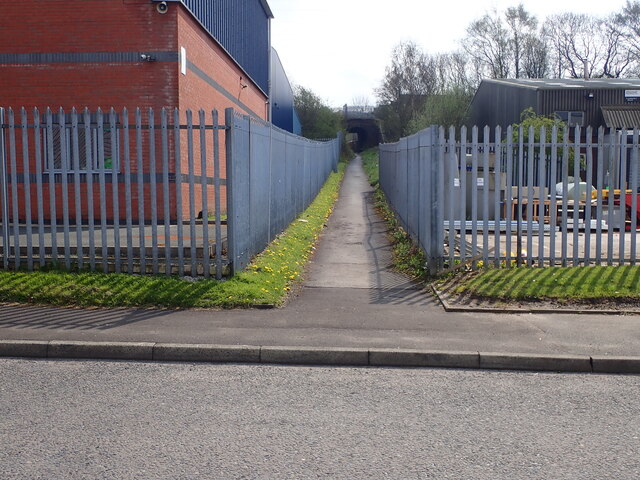
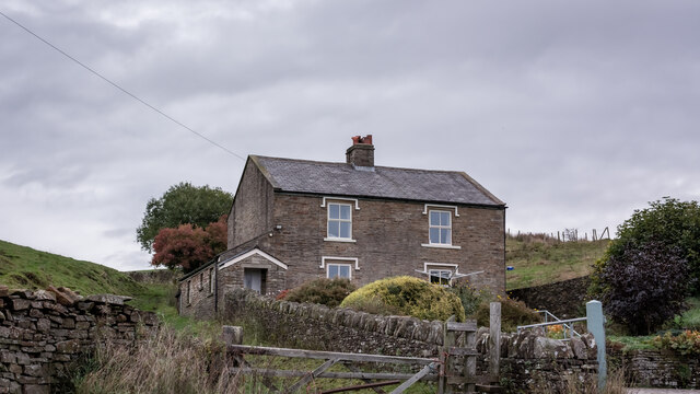
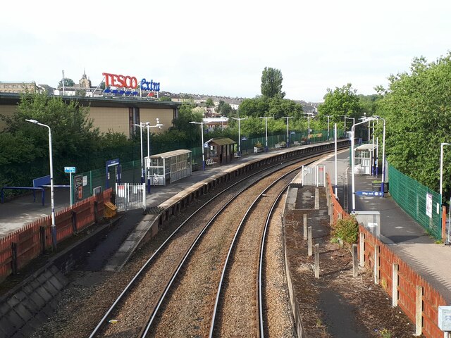
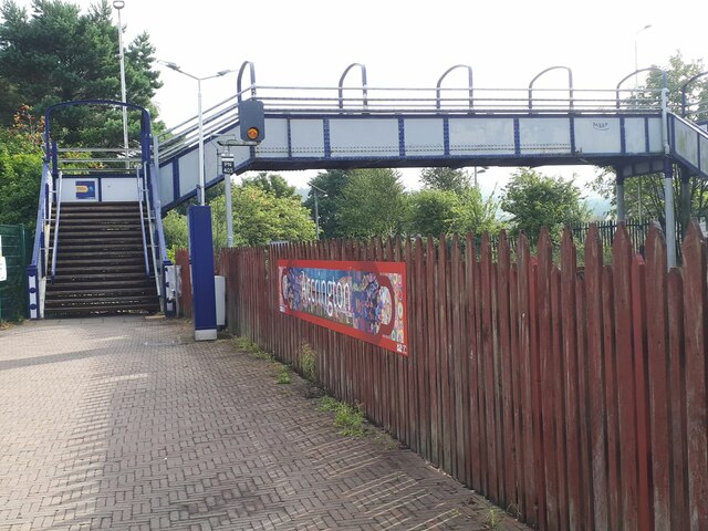
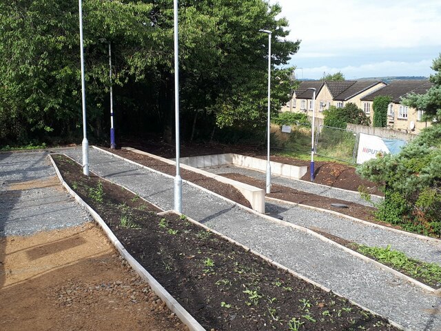
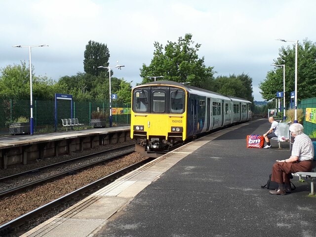
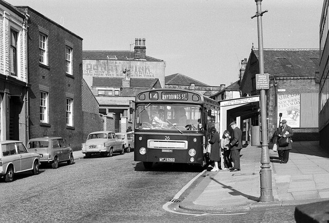
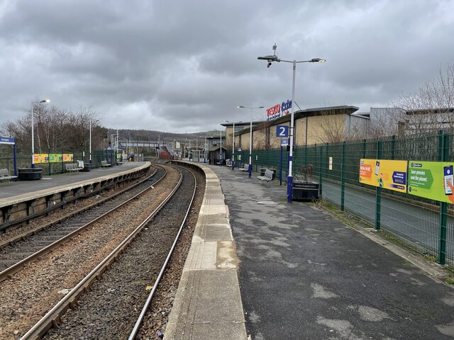
Barnfield Images

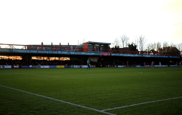
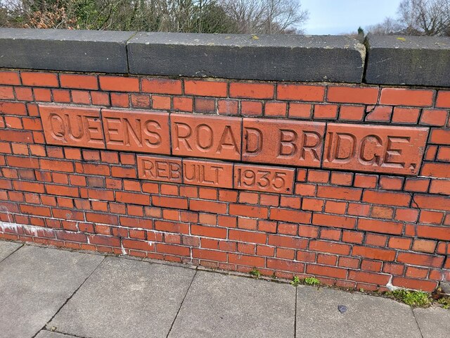
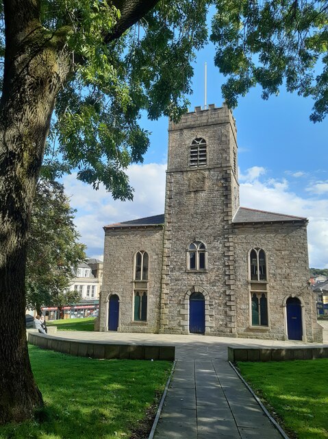
Images are sourced within 2km of 53.750988/-2.3560488 or Grid Reference SD7628. Thanks to Geograph Open Source API. All images are credited.

Footpath from Newhouse Road Entrance for the footpath leading from Newhouse Road on Huncoat Industrial estate.
Footpath from Newhouse Road
Entrance for the footpath leading from Newhouse Road on Huncoat Industrial estate.
Blue Slate's Cottage and the track onwards to Hambledon
Accrington station from the footbridge In the days of the Lancashire and Yorkshire Railway, this was a triangular junction station, of which only one pair of curved platforms remains, heading west towards Blackburn and north-east towards Burnley. The southern route no longer exists between here and Stubbins. Tesco Extra is built on the site of the former goods shed and sidings.
Accrington station from the footbridge
In the days of the Lancashire and Yorkshire Railway, this was a triangular junction station, of which only one pair of curved platforms remains, heading west towards Blackburn and north-east towards Burnley. The southern route no longer exists between here and Stubbins. Tesco Extra is built on the site of the former goods shed and sidings.
Accrington station footbridge There are no ticket barriers on this station, so the bridge acts as a general public route for customers of the Tesco Extra that occupies the southern part of the original station site, as well as for rail passengers.
Accrington station footbridge
There are no ticket barriers on this station, so the bridge acts as a general public route for customers of the Tesco Extra that occupies the southern part of the original station site, as well as for rail passengers.
Accrington station access ramp Still in construction, to provide easier access from Paxton Street to the eastbound platform.
Accrington station access ramp
Still in construction, to provide easier access from Paxton Street to the eastbound platform.
Sprinter arriving at Accrington station Unit 150102 calls with the 09.34 all-stations service to Colne.
Sprinter arriving at Accrington station
Unit 150102 calls with the 09.34 all-stations service to Colne.
Infant Street, Accrington – 1971 Although taken with the bus as the main subject, the view is of interest for the inscription on the tall building in the background. This reads “God says: do not drink wine nor strong drink, thou nor thy sons with thee”. The building is shown on older OS maps as 'Hall' and was presumably a Temperance hall. The quotation, from Leviticus, is clearly aimed at total abstinence from alcohol, although the text actually continues “when ye go into the tabernacle of the congregation”, which clearly indicates a more limited abstinence than total. Also of interest is the inscription on the Accrington Provident Co-operative Society building, since demolished.

The bus is Accrington Corporation 26, a Bristol RE with East Lancs bodywork, new in 1968. Rhyddings Street is in neighbouring Oswaldtwistle.

This is one of a series of views featuring buses in the 60s, 70s, and 80s. <a title="https://www.geograph.org.uk/search.php?i=2114547&displayclass=slide" href="https://www.geograph.org.uk/search.php?i=2114547&displayclass=slide">Link</a>
Infant Street, Accrington – 1971
Although taken with the bus as the main subject, the view is of interest for the inscription on the tall building in the background. This reads “God says: do not drink wine nor strong drink, thou nor thy sons with thee”. The building is shown on older OS maps as 'Hall' and was presumably a Temperance hall. The quotation, from Leviticus, is clearly aimed at total abstinence from alcohol, although the text actually continues “when ye go into the tabernacle of the congregation”, which clearly indicates a more limited abstinence than total. Also of interest is the inscription on the Accrington Provident Co-operative Society building, since demolished. The bus is Accrington Corporation 26, a Bristol RE with East Lancs bodywork, new in 1968. Rhyddings Street is in neighbouring Oswaldtwistle. This is one of a series of views featuring buses in the 60s, 70s, and 80s. Link
Accrington railway station, Lancashire Opened in 1848 by the East Lancashire Railway, soon to become part of the Lancashire & Yorkshire Railway, this station was a major junction where the company's Burnley-Blackburn-Liverpool/Preston and Burnley-Bury-Manchester lines diverged. The latter line and platforms closed in 1966.
View north east towards Huncoat and Burnley. In former times there was a bay platform to the immediate right and a large goods shed. Platforms to Bury were in the distance, beyond the footbridge, which used to have a roof. By the 1980s, it had become a very basic station - see <a href="https://www.geograph.org.uk/photo/3204618">SD7528 : Accrington railway station, Lancashire, 1983</a> but has since received a new booking office (2012) and step free ramps from street level (2022).
For more information, see <span class="nowrap"><a title="http://www.disused-stations.org.uk/a/accrington/index.shtml" rel="nofollow ugc noopener" href="http://www.disused-stations.org.uk/a/accrington/index.shtml">Link</a><img style="margin-left:2px;" alt="External link" title="External link - shift click to open in new window" src="https://s1.geograph.org.uk/img/external.png" width="10" height="10"/></span>.
Accrington railway station, Lancashire
Opened in 1848 by the East Lancashire Railway, soon to become part of the Lancashire & Yorkshire Railway, this station was a major junction where the company's Burnley-Blackburn-Liverpool/Preston and Burnley-Bury-Manchester lines diverged. The latter line and platforms closed in 1966. View north east towards Huncoat and Burnley. In former times there was a bay platform to the immediate right and a large goods shed. Platforms to Bury were in the distance, beyond the footbridge, which used to have a roof. By the 1980s, it had become a very basic station - see SD7528 : Accrington railway station, Lancashire, 1983 but has since received a new booking office (2012) and step free ramps from street level (2022). For more information, see LinkExternal link.
The Fan Zone at the Wham Stadium The Wham Stadium is home to Accrington Stanley.
The Fan Zone at the Wham Stadium
The Wham Stadium is home to Accrington Stanley.
The dressing rooms at the Wham Stadium The Wham Stadium is home to Accrington Stanley.
The dressing rooms at the Wham Stadium
The Wham Stadium is home to Accrington Stanley.
The Farleys Solicitors Stand at the Wham Stadium The Wham Stadium is home to Accrington Stanley.
The Farleys Solicitors Stand at the Wham Stadium
The Wham Stadium is home to Accrington Stanley.
The Eric Whalley Stand at the Wham Stadium The Wham Stadium is home to Accrington Stanley.
The Eric Whalley Stand at the Wham Stadium
The Wham Stadium is home to Accrington Stanley.
The Jack Barrett Stand at the Wham Stadium The Wham Stadium is home to Accrington Stanley.
The Jack Barrett Stand at the Wham Stadium
The Wham Stadium is home to Accrington Stanley.
The Coppice End at the Wham Stadium The Wham Stadium is home to Accrington Stanley.
The Coppice End at the Wham Stadium
The Wham Stadium is home to Accrington Stanley.
The Jack Barrett Stand at the Wham Stadium The Wham Stadium is home to Accrington Stanley.
The Jack Barrett Stand at the Wham Stadium
The Wham Stadium is home to Accrington Stanley.
The Eric Whalley Stand at the Wham Stadium The Wham Stadium is home to Accrington Stanley.
The Eric Whalley Stand at the Wham Stadium
The Wham Stadium is home to Accrington Stanley.
Bridge Marker on the B6237 in Accrington Bridge Marker on two brick plaques set in the parapet of Queens Road railway viaduct, on the northeast side of the B6237 Queens Road, Accrington. See also <a title="https://www.geograph.org.uk/photo/1782411" href="https://www.geograph.org.uk/photo/1782411">Link</a>.

Milestone Society National ID: LA_ACCR01br
Bridge Marker on the B6237 in Accrington
Bridge Marker on two brick plaques set in the parapet of Queens Road railway viaduct, on the northeast side of the B6237 Queens Road, Accrington. See also Link. Milestone Society National ID: LA_ACCR01br
St James' Church Founded on the site in 1546
St James' Church
Founded on the site in 1546
Show me another place!

Barnfield is located at Grid Ref: SD7628 (Lat: 53.750988, Lng: -2.3560488)

Administrative County: Lancashire

District: Hyndburn

Police Authority: Lancashire

What 3 Words

///salon.visits.luxury. Near Accrington, Lancashire

Nearby Locations

Lower Fold Barnfield

Related Wikis

Accrington and Rossendale College

Accrington and Rossendale College is a further education college based in Accrington, Lancashire, England. == The College == Accrington & Rossendale College...

Heathland School

Heathland School is an independent school situated in Accrington, Lancashire in England. The school accepts children from the age of three months in the...

Accrington

Accrington is a town in the Hyndburn borough of Lancashire, England. It lies about 4 miles (6 km) east of Blackburn, 6 miles (10 km) west of Burnley,...

Accrington Town Hall

Accrington Town Hall is a municipal building in Blackburn Road, Accrington, Lancashire, England. The town hall, which was the headquarters of Accrington...

Nearby Amenities

Located within 500m of 53.750988,-2.3560488
Crossing
Crossing: traffic_signals
Crossing Ref: pelican
Kerb: lowered
Tactile Paving: yes
Lat/Long: 53.7527759/-2.3609058
Traffic Signals
Lat/Long: 53.7518845/-2.3605793
Crossing
Crossing: traffic_signals
Crossing Ref: pelican
Kerb: lowered
Tactile Paving: yes
Lat/Long: 53.7516682/-2.3605193
Traffic Signals
Lat/Long: 53.7525841/-2.361705
Pub
The Arden Inn
Addr City: Accrington
Addr Housenumber: 85
Addr Postcode: BB5 1EH
Addr Street: Abbey Street
Fhrs Id: 851843
Source Addr: FHRS Open Data
Lat/Long: 53.7517112/-2.3610992
Restaurant
Jade Garden
Lat/Long: 53.7510357/-2.3612311
Traffic Signals
Lat/Long: 53.7536305/-2.3614426
Traffic Signals
Lat/Long: 53.7536764/-2.3613033
Turning Circle
Lat/Long: 53.7515146/-2.3488537
Traffic Signals
Lat/Long: 53.7516524/-2.3608484
Crossing
Crossing: traffic_signals
Crossing Ref: pelican
Kerb: lowered
Tactile Paving: yes
Lat/Long: 53.7518041/-2.3605318
Traffic Signals
Lat/Long: 53.7515141/-2.36094
Fuel
Esso
Brand: Esso
Brand Wikidata: Q867662
Brand Wikipedia: en:Esso
Contact Website: https://www.esso.co.uk/en-gb/find-station/esso-accrington-essotescoaccringtonexpress-100200911
Lat/Long: 53.7509936/-2.3607081
Pub
The Park
Addr City: Accrington
Addr Housenumber: 68-70
Addr Postcode: BB5 2BN
Addr Street: Manchester Road
Fhrs Id: 111465
Source Addr: FHRS Open Data
Lat/Long: 53.7482214/-2.3585067
Wheelchair: yes
Lat/Long: 53.7538607/-2.3605537
Crossing
Crossing: traffic_signals
Crossing Ref: pelican
Kerb: lowered
Tactile Paving: yes
Lat/Long: 53.7514001/-2.361017
Crossing
Crossing: traffic_signals
Crossing Ref: pelican
Kerb: lowered
Tactile Paving: yes
Lat/Long: 53.751305/-2.3609464
Crossing
Crossing: traffic_signals
Crossing Ref: pelican
Kerb: lowered
Tactile Paving: yes
Lat/Long: 53.7515599/-2.3611981
Crossing
Crossing: traffic_signals
Crossing Ref: pelican
Kerb: lowered
Tactile Paving: yes
Lat/Long: 53.7516084/-2.3610643
Crossing
Crossing: traffic_signals
Crossing Ref: pelican
Kerb: lowered
Tactile Paving: yes
Lat/Long: 53.7517411/-2.3605383
Crossing
Crossing: traffic_signals
Crossing Ref: pelican
Kerb: lowered
Tactile Paving: yes
Lat/Long: 53.7517778/-2.3606336
Crossing
Crossing: traffic_signals
Crossing Ref: pelican
Kerb: lowered
Tactile Paving: yes
Lat/Long: 53.7518781/-2.3607295
Crossing
Crossing: traffic_signals
Crossing Ref: pelican
Kerb: lowered
Tactile Paving: yes
Lat/Long: 53.7535245/-2.3613383
Crossing
Crossing: traffic_signals
Crossing Ref: pelican
Kerb: lowered
Tactile Paving: yes
Lat/Long: 53.7534812/-2.361151
Crossing
Crossing: traffic_signals
Crossing Ref: pelican
Kerb: lowered
Tactile Paving: yes
Lat/Long: 53.7539794/-2.361602
Turning Circle
Lat/Long: 53.7519521/-2.3534524
Turning Circle
Lat/Long: 53.7520022/-2.3532501
Entrance: main
Lat/Long: 53.7530975/-2.3597167
Entrance: main
Lat/Long: 53.7532388/-2.359851
Entrance: main
Lat/Long: 53.7537168/-2.360417
Entrance: main
Lat/Long: 53.7535558/-2.360264
Pharmacy
Wyvern Pharmacy
Addr City: Accrington
Addr Housenumber: 81
Addr Postcode: BB5 1EH
Addr Street: Abbey Street
Brand: Pharmacie Principale
Brand Wikidata: Q1547749
Brand Wikipedia: fr:Groupe PP Holding
Dispensing: yes
Drive Through: no
Healthcare: pharmacy
Opening Hours: Mo-Fr 09:00-17:30
Operator: Pharmacie Principale
Lat/Long: 53.7518594/-2.361281
Pub
Grants
Lat/Long: 53.7501329/-2.360261
The data included in this document is from www.openstreetmap.org. The data is made available under ODbL.

Have you been to Barnfield?

Leave your review of Barnfield below (or comments, questions and feedback).