Barlanark Place
Settlement in Lanarkshire
Scotland
Barlanark Place
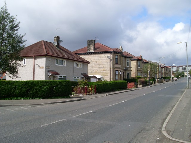
Barlanark Place is a residential street located in the town of Barlanark, which is situated in the county of Lanarkshire, Scotland. The street is nestled within a quiet residential area and offers a peaceful and friendly environment for its residents.
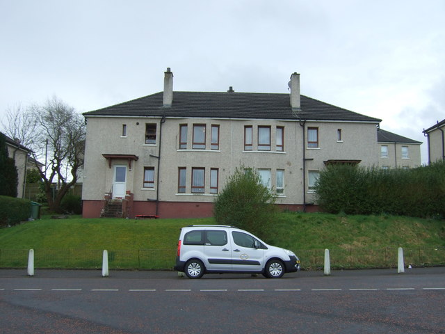
Barlanark Place is known for its well-maintained houses, characterized by their neat gardens and tidy exteriors. The properties on this street are predominantly traditional family homes, with a mix of detached and semi-detached houses. The houses typically feature two or three bedrooms, making them suitable for small to medium-sized families.
The street is lined with mature trees, adding to its aesthetic appeal and providing shade during the summer months. Barlanark Place also benefits from ample street parking, ensuring convenience for residents and their visitors.
Residents of Barlanark Place enjoy a range of amenities nearby. Within walking distance, there are local shops, including grocery stores and convenience stores, providing everyday necessities. The area is also well-served by public transportation, with bus stops conveniently located nearby.
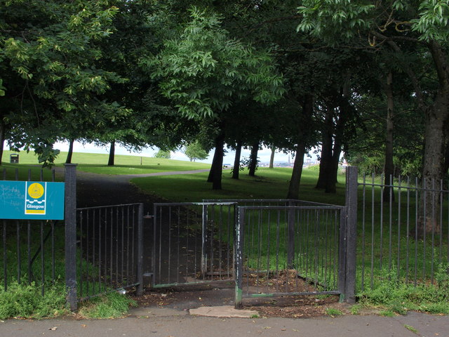
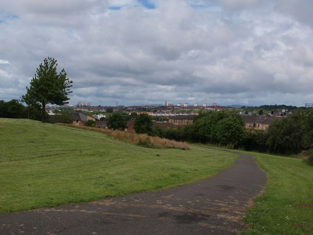
For recreational activities, residents can take advantage of the nearby parks and green spaces, which offer opportunities for leisurely walks and outdoor activities. The street is also within close proximity to schools, making it an ideal location for families with children.
Overall, Barlanark Place offers a pleasant and family-friendly neighborhood, with its well-maintained properties, convenient amenities, and easy access to recreational facilities.
If you have any feedback on the listing, please let us know in the comments section below.
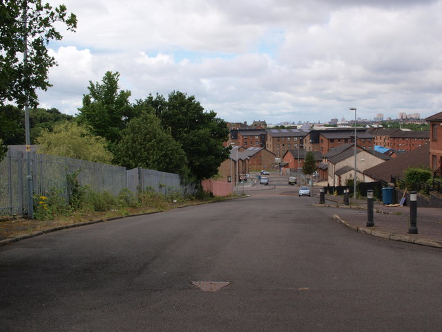
Barlanark Place Images
Images are sourced within 2km of 55.854882/-4.1585685 or Grid Reference NS6464. Thanks to Geograph Open Source API. All images are credited.


Barlanark Place is located at Grid Ref: NS6464 (Lat: 55.854882, Lng: -4.1585685)
Unitary Authority: City of Glasgow
Police Authority: Greater Glasgow
What 3 Words
///sculpture.salt.mouse. Near Stepps, North Lanarkshire
Nearby Locations
Related Wikis
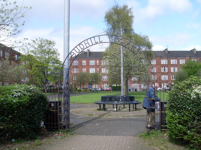
Budhill
Budhill is a neighbourhood in the east end of Glasgow. It is situated north of the River Clyde. It is situated between Springboig to the north-east, Greenfield...

Shettleston railway station
Shettleston railway station serves the Shettleston area of Glasgow, Scotland and is 3½ miles (5 km) east of Glasgow Queen Street railway station on the...
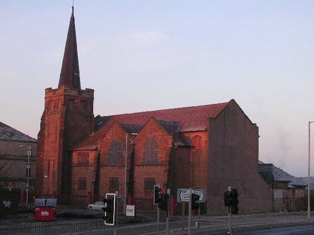
Shettleston New Church
Shettleston New Church is an early 20th-century church building of the Church of Scotland in the Shettleston district of Glasgow, Scotland. == History... ==
Springboig
Springboig is a neighbourhood in the east end of the Scottish city of Glasgow, situated north of the River Clyde. Administratively, it has been within...

St Serf's Church, Shettleston
St Serf's Church is an early 20th-century church building of the Scottish Episcopal Church, located in the Shettleston area of Glasgow. == History... ==

Eastbank Academy
Eastbank Academy is a Scottish secondary school in the suburb of Shettleston in Glasgow, Scotland. Today the institution is a non-denominational comprehensive...
Greenfield, Glasgow
Greenfield is a neighbourhood in the east end of the Scottish city of Glasgow, north of the River Clyde. The estate was built on the grounds of Greenfield...

Glasgow East (UK Parliament constituency)
Glasgow East is a constituency of the House of Commons of the UK Parliament, located in the city of Glasgow, Scotland. It elects one Member of Parliament...
Related Videos

Nearby Amenities
Located within 500m of 55.854882,-4.1585685Have you been to Barlanark Place?
Leave your review of Barlanark Place below (or comments, questions and feedback).