Bank Top

Settlement in Lancashire Rossendale

England

Bank Top

Reservoir Catchwater For Clough Bottom Reservoir
Reservoir Catchwater Credit: Kevin Waterhouse

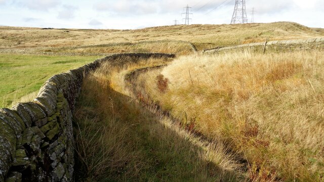
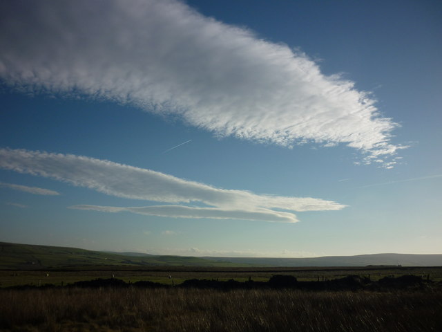
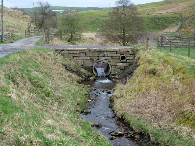
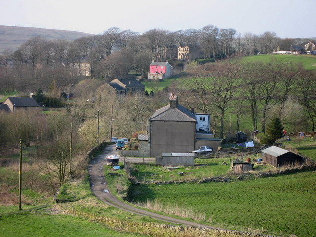
Bank Top is a small village located in the county of Lancashire, England. Situated in the borough of Blackburn with Darwen, it lies approximately 2 miles northeast of Blackburn town center. The village is nestled on a hilltop, hence the name "Bank Top", offering picturesque views of the surrounding countryside.

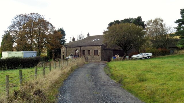
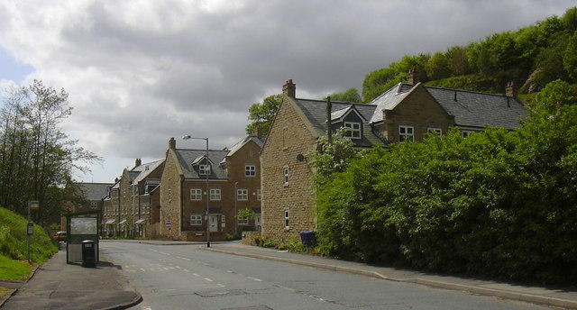
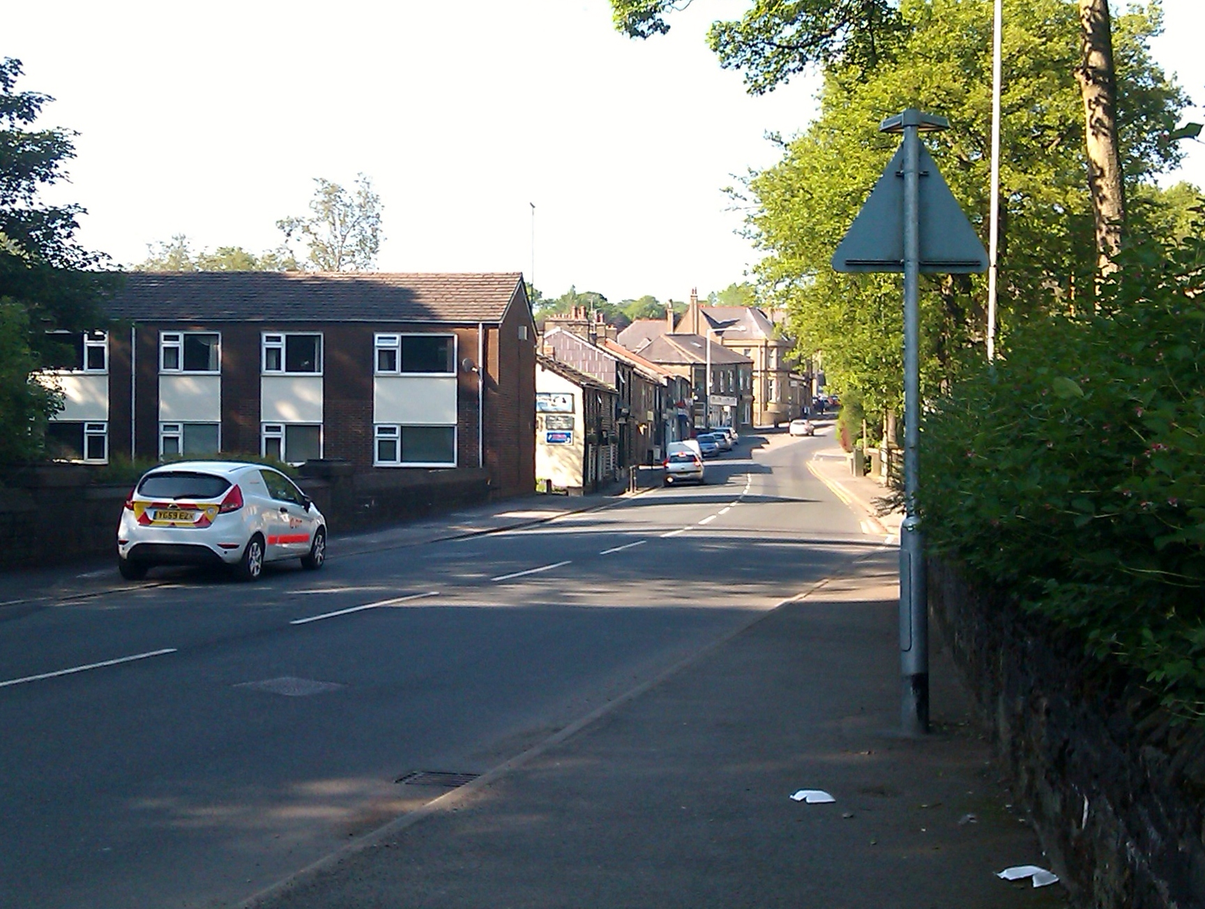
Bank Top is primarily a residential area, with a mix of housing styles ranging from traditional stone cottages to modern houses. The village is known for its tight-knit community and friendly atmosphere, making it an ideal place for families and individuals looking for a tranquil setting.

Although Bank Top itself does not have many amenities, its close proximity to Blackburn town center provides residents with easy access to a range of facilities, including shops, supermarkets, restaurants, and leisure activities. There are also several primary and secondary schools in the area, making it a popular choice for families with children.

In terms of transportation, Bank Top benefits from good connectivity. The village has its own railway station, providing regular services to Blackburn, Preston, and other destinations. Additionally, the M65 motorway is just a short drive away, offering convenient access to the wider region.

Overall, Bank Top offers a peaceful and scenic place to live while still being within easy reach of urban amenities. Its strong sense of community, combined with its convenient location, makes it an attractive choice for those seeking a balance between rural living and urban convenience.

If you have any feedback on the listing, please let us know in the comments section below.
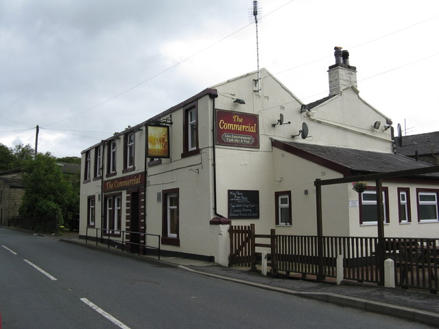
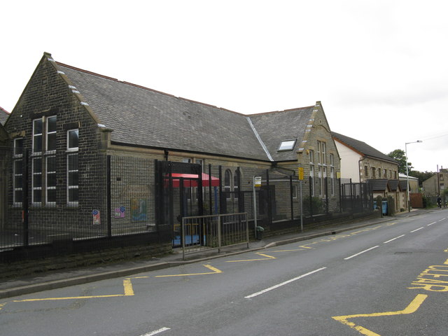
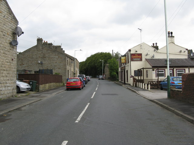
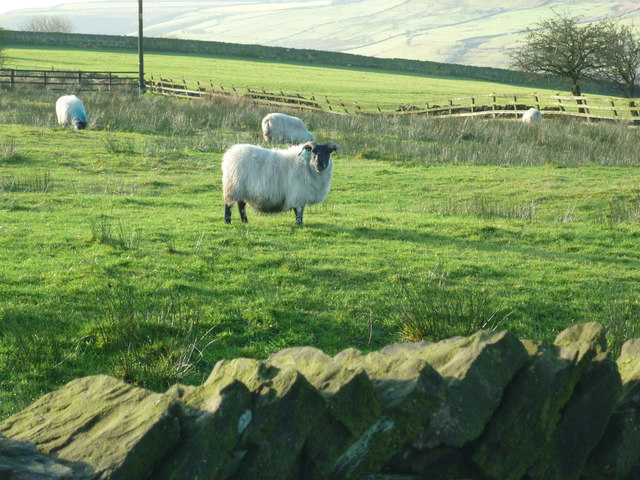
Bank Top Images

Images are sourced within 2km of 53.723085/-2.251305 or Grid Reference SD8325. Thanks to Geograph Open Source API. All images are credited.

Reservoir Catchwater For Clough Bottom Reservoir
Reservoir Catchwater
For Clough Bottom Reservoir
Approaching Swallow Shore
Tramway remains Ahead are the remains of a tramway tunnel at the head of a shallow cutting. The tramway went through a tunnel to Gambleside Colliery. A path follows this tramway route between Gambleside Colliery and another behind the camera, which appeared to be unnamed on early OS maps but at the head of Green Fold Reservoir.
Tramway remains
Ahead are the remains of a tramway tunnel at the head of a shallow cutting. The tramway went through a tunnel to Gambleside Colliery. A path follows this tramway route between Gambleside Colliery and another behind the camera, which appeared to be unnamed on early OS maps but at the head of Green Fold Reservoir.
New Houses, Burnley Road East, Waterfoot, Rossendale Was the abattoir - slaughter house
New Houses, Burnley Road East, Waterfoot, Rossendale
Was the abattoir - slaughter house
Burnley Road East, Waterfoot, Rossendale
Water, Lancashire:  Burnley Road East, looking south This is part of the B6238
Water, Lancashire: Burnley Road East, looking south
This is part of the B6238
Water, Lancashire:  The 'Commercial' Thankfully there are still a few real pubs remaining in Lancashire.
Water, Lancashire: The 'Commercial'
Thankfully there are still a few real pubs remaining in Lancashire.
Water, Lancashire:  Water Board School
Water, Lancashire: Water Board School
Water, Lancashire:  Burnley Road East, looking north Part of the B6238. The 'Commercial' is on the right.
Water, Lancashire: Burnley Road East, looking north
Part of the B6238. The 'Commercial' is on the right.
Height Side Lane towards Short Clough This was an impromptu exploration in early Spring (2012) of the Bonfire Hill side of Crawshawbooth towards Reeds Holme.  Height Side Lane commands some spectacular views of Harcles Hill and Holcombe Moor, landmarked by Peel Monument in the distance.
Height Side Lane towards Short Clough
This was an impromptu exploration in early Spring (2012) of the Bonfire Hill side of Crawshawbooth towards Reeds Holme. Height Side Lane commands some spectacular views of Harcles Hill and Holcombe Moor, landmarked by Peel Monument in the distance.
From Swinshaw Moor to Crown Farm Taken on the edge of Swinshaw Moor looking towards the hillside beyond Crawshawbooth in Rossendale.  This public footpath runs through Crown Farm which lies above Bottomley Bank Lane Farm.
From Swinshaw Moor to Crown Farm
Taken on the edge of Swinshaw Moor looking towards the hillside beyond Crawshawbooth in Rossendale. This public footpath runs through Crown Farm which lies above Bottomley Bank Lane Farm.
From Bottomley Bank Farm to Crawshawbooth This is one of the happiest walks I have taken, it being the first day of my Christmas holiday last year (2011); the sun also came out to celebrate.  I am standing at the top of Bottomley Bank Lane drinking in the view before proceeding upwards to Swinshaw Moor.
From Bottomley Bank Farm to Crawshawbooth
This is one of the happiest walks I have taken, it being the first day of my Christmas holiday last year (2011); the sun also came out to celebrate. I am standing at the top of Bottomley Bank Lane drinking in the view before proceeding upwards to Swinshaw Moor.
Crown Farm Taken on my way down from Swinshaw Moor through Crown Farm and back to Crawshawbooth in Rossendale, just before Christmas last year (2011).
Crown Farm
Taken on my way down from Swinshaw Moor through Crown Farm and back to Crawshawbooth in Rossendale, just before Christmas last year (2011).
Higher Bank Top Taken at the top of Crown Farm and looking out towards Lumb and Whitewell Bottom, Forest of Rossendale, Lancashire.
Higher Bank Top
Taken at the top of Crown Farm and looking out towards Lumb and Whitewell Bottom, Forest of Rossendale, Lancashire.
Holiday Accommodation East Lancashire This caravan was located just off the track to the disused mine buildings which are now used to shelter farm animals.
Holiday Accommodation East Lancashire
This caravan was located just off the track to the disused mine buildings which are now used to shelter farm animals.
Puddles galore... ...in this footpath from Crawshawbooth to Rawtenstall.
Puddles galore...
...in this footpath from Crawshawbooth to Rawtenstall.
Solid stone bridge in Shepherd Clough
Show me another place!

Bank Top is located at Grid Ref: SD8325 (Lat: 53.723085, Lng: -2.251305)

Administrative County: Lancashire

District: Rossendale

Police Authority: Lancashire

What 3 Words

///wants.reserving.swaps. Near Rawtenstall, Lancashire

Nearby Locations

Cunliffe Clough Bank Top

Related Wikis

Lumb, Rawtenstall

Lumb is a small village in the Rossendale district of Lancashire, England. It lies in the valley of the Whitewell Brook, 3 miles (5 km) north east of Rawtenstall...

Whitewell Brook

Whitewell Brook is a minor river in Lancashire, England. It is 4.34 miles (6.99 km) long and has a catchment area of 7.67 square miles (19.86 km2).The...

Water, Lancashire

Water is a hamlet in the borough of Rossendale, in Lancashire, England. Located north of the village of Lumb. It is mostly made of a few homes, farms,...

Rossendale (UK Parliament constituency)

Rossendale was a parliamentary constituency in the Lancashire, England. Created in 1885, it elected one Member of Parliament (MP) to the House of Commons...

Rossendale and Darwen (UK Parliament constituency)

Rossendale and Darwen is a constituency in Lancashire represented in the House of Commons of the UK Parliament since 2010 by Jake Berry, the former Chairman...

Crawshawbooth

Crawshawbooth is a small village located on the edge of the Pennines in England, just north of the market town of Rawtenstall, Lancashire, and south of...

Goodshaw

Goodshaw is a hamlet situated on the edge of the Pennine hills in England, located just north of the market town of Rawtenstall in Lancashire. To the south...

St John the Evangelist's Church, Crawshawbooth

St John the Evangelist's Church is in the village of Crawshawbooth, near Rawtenstall, Lancashire, England. It is a redundant Anglican parish church formerly...

Nearby Amenities

Located within 500m of 53.723085,-2.251305
Forest Holme
Place: hamlet
Source: npe
Lat/Long: 53.7238886/-2.2438552
Place Of Worship
Lumb Baptist Church
Denomination: baptist
Religion: christian
Lat/Long: 53.7231035/-2.2453358
Turning Circle
Lat/Long: 53.7238934/-2.2439101
Bicycle: designated
Designation: public_bridleway
Foot: designated
Horse: designated
Prow Ref: Rawtenstall BW 15
Lat/Long: 53.7195941/-2.2470495
Post Box
Operator: Royal Mail
Lat/Long: 53.7195165/-2.2477646
Barrier: swing_gate
Lat/Long: 53.7267818/-2.2479416
Bench
Lat/Long: 53.7194998/-2.247806
Bench
Lat/Long: 53.7194899/-2.2478504
Top Farm Airstrip
Aeroway: airstrip
Lat/Long: 53.7231604/-2.2534189
Entrance: yes
Lat/Long: 53.7212507/-2.2530811
The data included in this document is from www.openstreetmap.org. The data is made available under ODbL.

Have you been to Bank Top?

Leave your review of Bank Top below (or comments, questions and feedback).