Bandirran
Settlement in Perthshire
Scotland
Bandirran
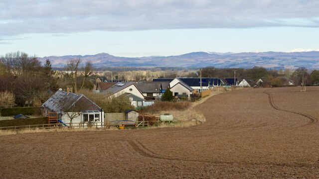
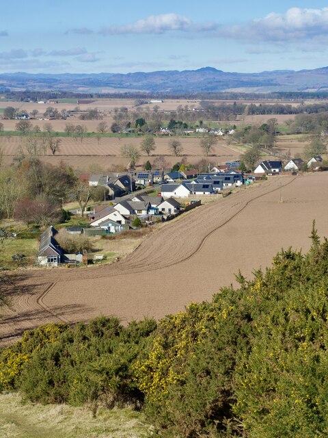
Bandirran is a small village located in the county of Perthshire, Scotland. Situated approximately 8 miles southwest of the city of Perth, it is nestled within the picturesque countryside, surrounded by rolling hills and beautiful landscapes.
With a population of around 200 people, Bandirran exudes a peaceful and tranquil atmosphere. The village is primarily residential, consisting of a cluster of charming cottages and a few small farms. The architecture reflects its traditional Scottish heritage, with many of the buildings constructed from local stone.
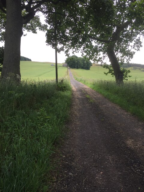
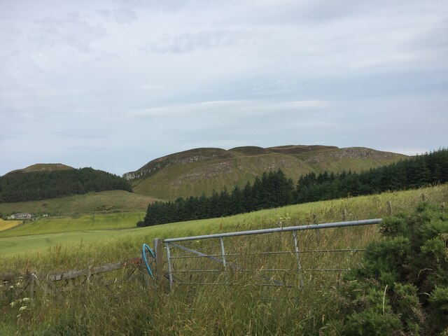
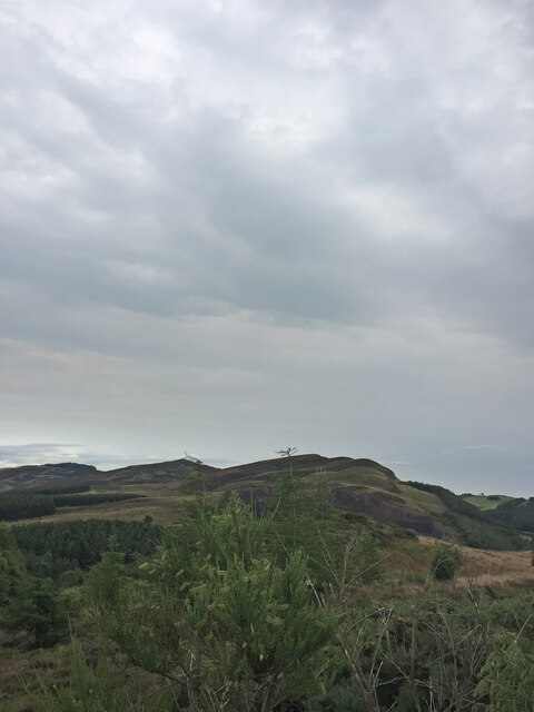
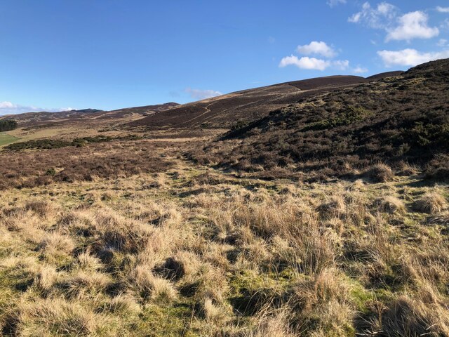
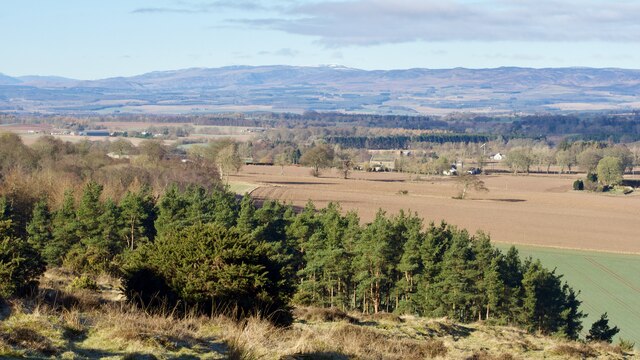
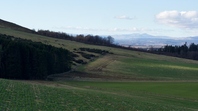
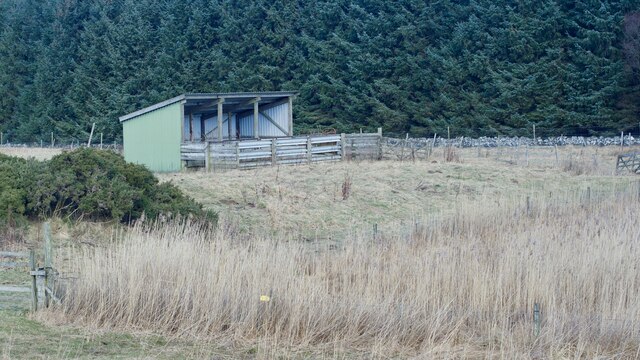
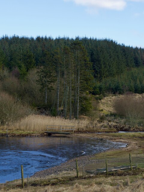
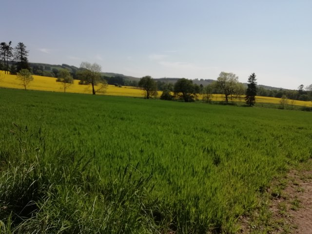
Bandirran benefits from its rural location, offering a peaceful retreat from the hustle and bustle of city life. The village is surrounded by lush green fields and woodland, providing ample opportunities for outdoor activities such as hiking, cycling, and birdwatching. The nearby River Almond also offers fishing opportunities for enthusiasts.
Despite its small size, Bandirran is conveniently located near larger towns and cities. Perth is easily accessible, providing a range of amenities including shops, restaurants, and cultural attractions. The village is also within commuting distance of Dundee and Stirling, both of which offer further opportunities for work and leisure activities.
Bandirran is a close-knit community, with a strong sense of community spirit. Residents often come together for various events and activities, including fairs, charity fundraisers, and social gatherings. The local primary school serves the village and the surrounding area, further fostering a sense of community.
Overall, Bandirran offers a tranquil and idyllic lifestyle, with its stunning natural surroundings and close-knit community, making it an appealing place to live for those seeking a peaceful retreat in the heart of Perthshire.
If you have any feedback on the listing, please let us know in the comments section below.
Bandirran Images
Images are sourced within 2km of 56.461975/-3.2940216 or Grid Reference NO2030. Thanks to Geograph Open Source API. All images are credited.
![The Long Man's Grave "Traditionally the grave of a suicide, or perhaps the victim of a murder; according to Hunter, that of Macbeth. The tumulus when examined, however, proved to be a 'druidical stone' that had toppled over. Nothing was found to support these traditions."
"This grave is marked by a stone slab, 0.5m wide and 1.8m long, lying flush with the ground on the grass-verge of the road and with the modern stone dyke over-riding one end. This stone is probably a 'grave slab' and not a "standing stone" which has toppled over. There is no evidence of a cairn or tumulus."
‘“The Long Man’s Grave” | Canmore’. 2023. Canmore.org.uk &lt;<span class="nowrap"><a title="https://canmore.org.uk/site/30663" rel="nofollow ugc noopener" href="https://canmore.org.uk/site/30663">Link</a><img style="margin-left:2px;" alt="External link" title="External link - shift click to open in new window" src="https://s1.geograph.org.uk/img/external.png" width="10" height="10"/></span> &gt; [accessed 11 March 2023]](https://s0.geograph.org.uk/geophotos/07/42/91/7429140_bc0d2c88.jpg)
![The Long Man's Grave &quot;Traditionally the grave of a suicide, or perhaps the victim of a murder; according to Hunter, that of Macbeth. The tumulus when examined, however, proved to be a &#039;druidical stone&#039; that had toppled over. Nothing was found to support these traditions.&quot;
&quot;This grave is marked by a stone slab, 0.5m wide and 1.8m long, lying flush with the ground on the grass-verge of the road and with the modern stone dyke over-riding one end. This stone is probably a &#039;grave slab&#039; and not a &quot;standing stone&quot; which has toppled over. There is no evidence of a cairn or tumulus.&quot;
‘“The Long Man’s Grave” | Canmore’. 2023. Canmore.org.uk &lt;<span class="nowrap"><a title="https://canmore.org.uk/site/30663" rel="nofollow ugc noopener" href="https://canmore.org.uk/site/30663">Link</a><img style="margin-left:2px;" alt="External link" title="External link - shift click to open in new window" src="https://s1.geograph.org.uk/img/external.png" width="10" height="10"/></span> &gt; [accessed 11 March 2023]](https://s1.geograph.org.uk/geophotos/07/42/91/7429145_ce0d0012.jpg)

![Collace Quarry Manufacturing &quot;a range of asphalt mixes&quot;.
So, they&#039;re basically like a chef in a kitchen, whipping up different asphalt mixes like it&#039;s nobody&#039;s business. And get this, they even follow the EN standards! They&#039;ve got it all - hot rolled asphalts, asphalt concretes, stone mastic asphalts, pre coated chips, and even cold mix for base/binders. It&#039;s like a fancy asphalt buffet, all up to code and ready to go. Who knew asphalt could be so gourmet?
Reference: Tayfusion. 2023. ‘Collace Quarry by Tayside Contracts’, Tayside-Contracts.co.uk &lt;<span class="nowrap"><a title="https://www.tayside-contracts.co.uk/construction/collace-quarry" rel="nofollow ugc noopener" href="https://www.tayside-contracts.co.uk/construction/collace-quarry">Link</a><img style="margin-left:2px;" alt="External link" title="External link - shift click to open in new window" src="https://s1.geograph.org.uk/img/external.png" width="10" height="10"/></span> &gt; [accessed 12 March 2023]
](https://s2.geograph.org.uk/geophotos/07/43/03/7430334_037ca527.jpg)
![Hoolmyre In 1970, a Socketed Axehead dating all the way back to the Bronze Age was discovered in the Whistle Naked Field below the farm. What kind of stories that ancient tool could tell?
Source: ‘Hoolmyre | Canmore’. 2023. Canmore.org.uk &lt;<span class="nowrap"><a title="https://canmore.org.uk/site/30678/hoolmyre" rel="nofollow ugc noopener" href="https://canmore.org.uk/site/30678/hoolmyre">Link</a><img style="margin-left:2px;" alt="External link" title="External link - shift click to open in new window" src="https://s1.geograph.org.uk/img/external.png" width="10" height="10"/></span> &gt; [accessed 12 March 2023]
](https://s0.geograph.org.uk/geophotos/07/43/03/7430352_1ec85ab3.jpg)
![Hoole Various flint aftifacts have been found in the farms fields.
For further information see ‘Hoole | Canmore’. 2023. Canmore.org.uk &lt;<span class="nowrap"><a title="https://canmore.org.uk/site/305570/hoole" rel="nofollow ugc noopener" href="https://canmore.org.uk/site/305570/hoole">Link</a><img style="margin-left:2px;" alt="External link" title="External link - shift click to open in new window" src="https://s1.geograph.org.uk/img/external.png" width="10" height="10"/></span> &gt; [accessed 12 March 2023]](https://s1.geograph.org.uk/geophotos/07/43/03/7430357_1266daba.jpg)
Bandirran is located at Grid Ref: NO2030 (Lat: 56.461975, Lng: -3.2940216)
Unitary Authority: Perth and Kinross
Police Authority: Tayside
What 3 Words
///winks.subplot.giggle. Near Inchture, Perth & Kinross
Nearby Locations
Related Wikis

Dunsinane Hill
Dunsinane Hill ( dun-SIN-ən) is a hill of the Sidlaws near the village of Collace in Perthshire, Scotland. It is mentioned in Shakespeare's play Macbeth...
Battle of Dunsinane
The Battle of Dunsinane, also known as the Battle of the Seven Sleepers, was fought between the forces of Macbeth, King of Scotland and forces led by Siward...

Collace
Collace () is a parish in Perthshire, Scotland, 8 miles (13 kilometres) northeast of Perth, in the Carse of Gowrie district. The parish boundary includes...

Black Hill (Sidlaw Hills)
Black Hill is one of the steepest hills of the Sidlaw range in South East Perthshire. Black Hill is located near Collace and is smaller than King's Seat...

Kinrossie
Kinrossie is a linear village in the Perth and Kinross area of Scotland. It is less than a mile south off the A94 road, 8 miles (13 kilometres) from Perth...

King's Seat
King's Seat (Scottish Gaelic: Ceann Sidhe) is one of the principal hills of the Sidlaw range in South East Perthshire. At 377 metres (1,237 ft), it is...

Balbeggie
Balbeggie () is a village in Perth and Kinross, Scotland about 7 miles (11 kilometres) northeast of Perth on the A94 road. == References ==

Fingask Castle
Fingask Castle is a country house in Perth and Kinross, Scotland. It is perched 200 feet (61 m) above Rait, three miles (5 km) north-east of Errol, in...
Nearby Amenities
Located within 500m of 56.461975,-3.2940216Have you been to Bandirran?
Leave your review of Bandirran below (or comments, questions and feedback).