Auchtertyre
Settlement in Perthshire
Scotland
Auchtertyre
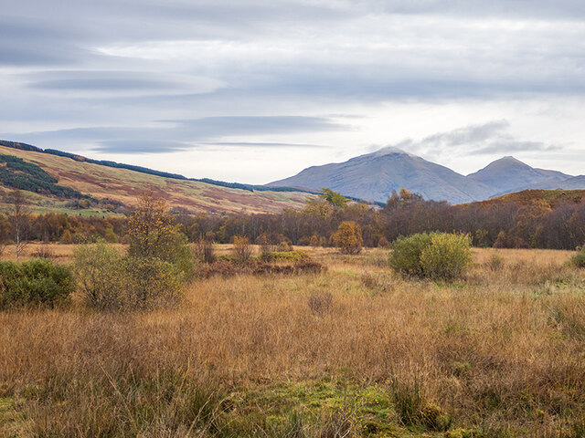
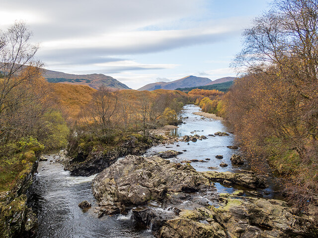
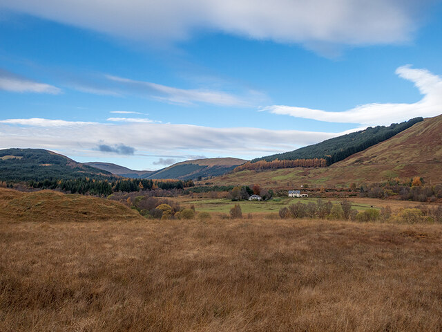
Auchtertyre is a small village located in the county of Perthshire, Scotland. Situated in the heart of the country, it is surrounded by beautiful rolling hills and picturesque landscapes. The village is nestled near the stunning Loch Tummel, offering residents and visitors alike breathtaking views of the water and the surrounding countryside.
With a population of around 200 people, Auchtertyre maintains a close-knit community atmosphere. The village is primarily residential, with a small number of local businesses and amenities, including a village shop and a charming pub serving traditional Scottish cuisine.
Auchtertyre is an ideal destination for outdoor enthusiasts, as it offers easy access to a variety of recreational activities. The nearby Loch Tummel provides opportunities for fishing, boating, and water sports, while the surrounding hills and forests offer ample possibilities for hiking and wildlife spotting.
For history enthusiasts, Auchtertyre is located in an area rich in historical significance. The village is within close proximity to several ancient sites, including the iconic Queen's View, a viewpoint that offers panoramic vistas of the surrounding hills and lochs. Auchtertyre is also within reach of Blair Castle, a magnificent and well-preserved medieval fortress that dates back to the 13th century.
Overall, Auchtertyre is a tranquil and scenic village that offers a peaceful retreat for those seeking to escape the hustle and bustle of city life. Its natural beauty, combined with its rich history and warm community spirit, make it a truly special place in Perthshire.
If you have any feedback on the listing, please let us know in the comments section below.
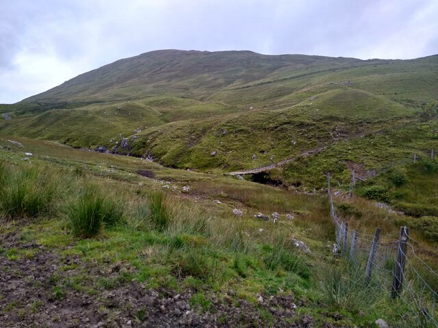
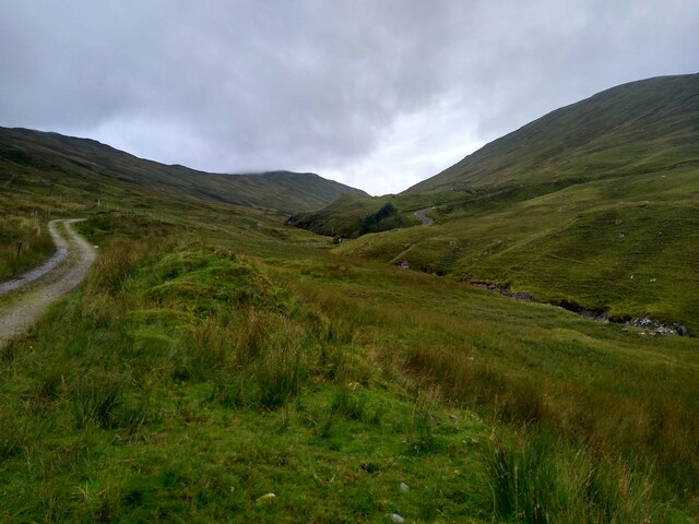
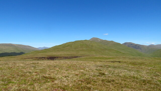
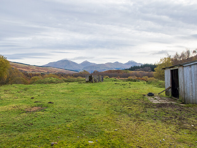
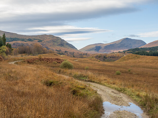
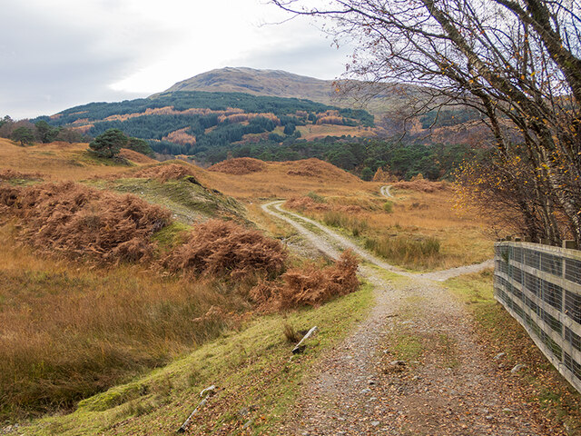
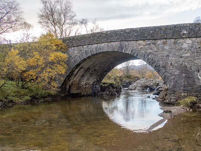
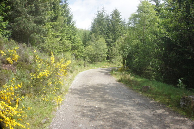
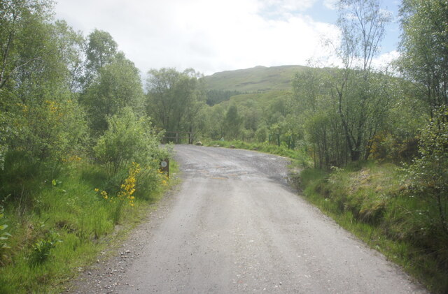
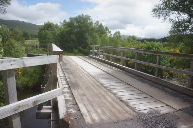
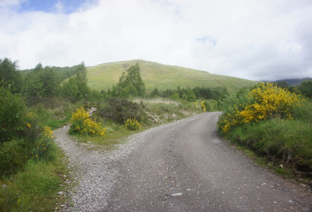
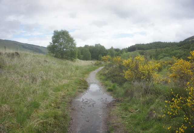
Auchtertyre Images
Images are sourced within 2km of 56.42464/-4.6701185 or Grid Reference NN3529. Thanks to Geograph Open Source API. All images are credited.
Auchtertyre is located at Grid Ref: NN3529 (Lat: 56.42464, Lng: -4.6701185)
Unitary Authority: Stirling
Police Authority: Forth Valley
What 3 Words
///developer.cascaded.maybe. Near Tyndrum, Stirling
Nearby Locations
Related Wikis

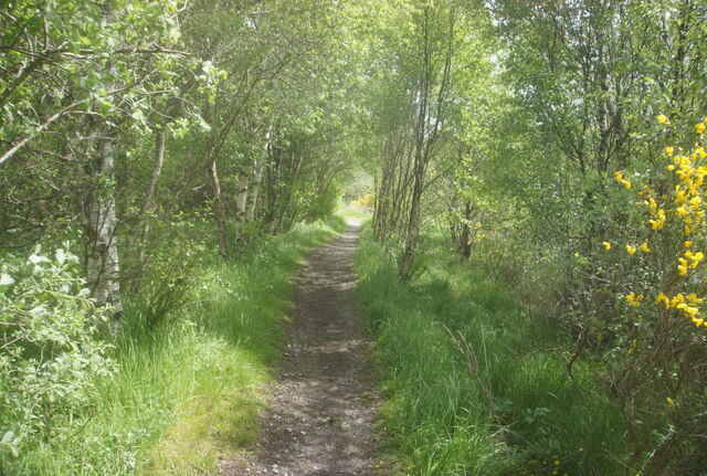
Strath Fillan
Strath Fillan (Scottish Gaelic: Na Sraithibh) is a strath in west Perthshire named after an 8th-century Irish hermit monk later canonised Saint Fillan...

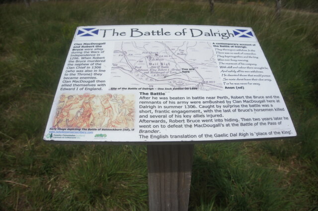
Battle of Dalrigh
The Battle of Dalrigh, also known as the Battle of Dail Righ, Battle of Dalry or Battle of Strathfillan, was fought in 1306 between the army of King Robert...
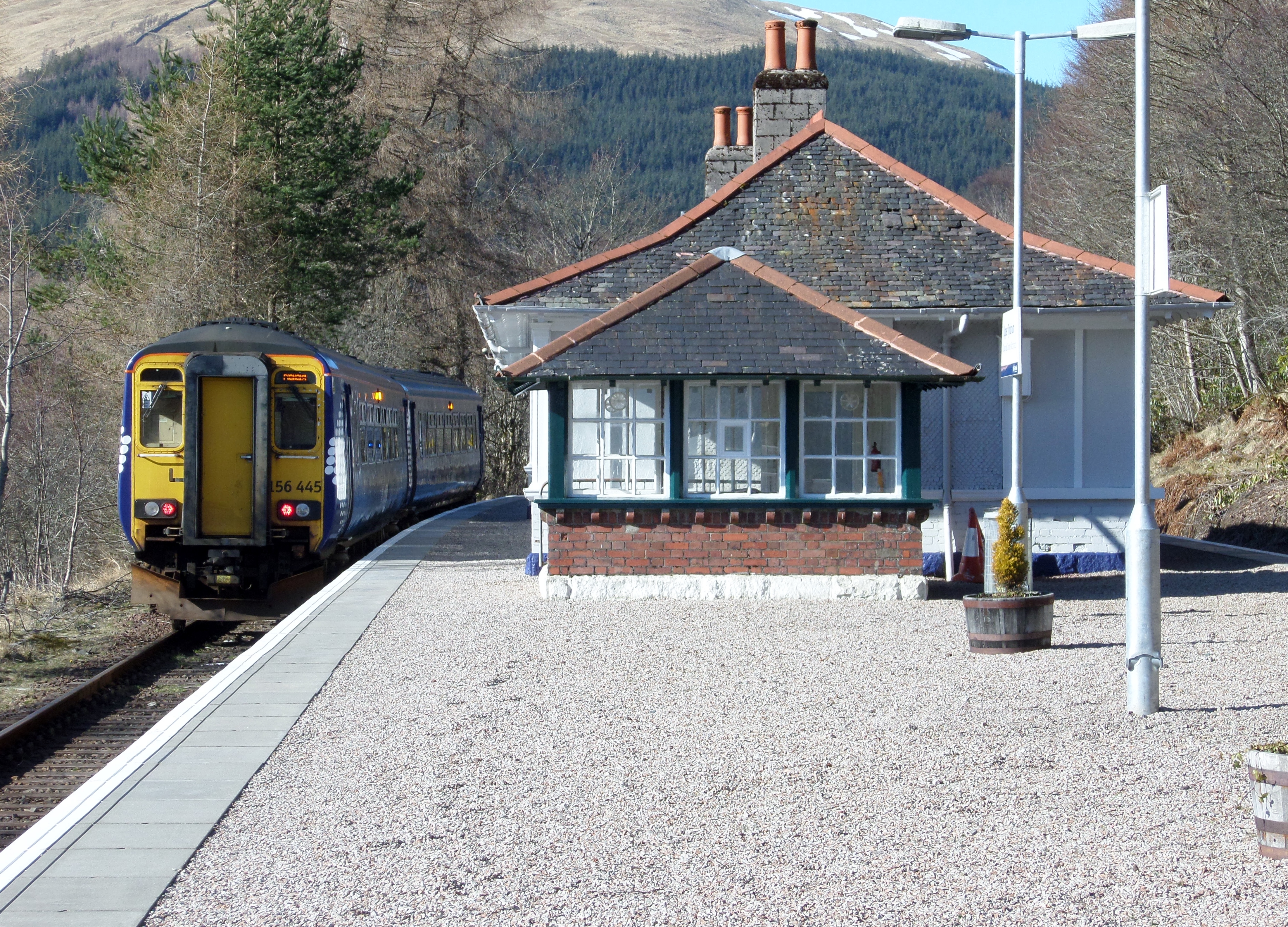
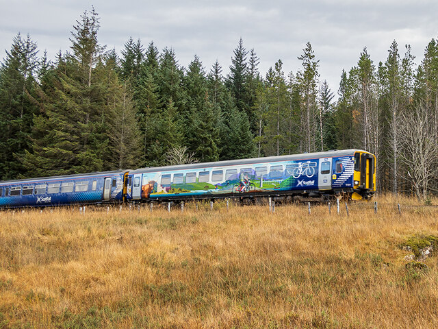
Upper Tyndrum railway station
Upper Tyndrum railway station is one of two railway stations serving the small village of Tyndrum in Scotland. It is on the Fort William route of the scenic...

Tyndrum Lower railway station
Tyndrum Lower railway station is one of two railway stations serving the small village of Tyndrum in Scotland, the other being Upper Tyndrum. This station...

Tyndrum
Tyndrum ( ; Scottish Gaelic: Taigh an Droma) is a small village in Scotland. Its Gaelic name translates as "the house on the ridge". It lies in Strathfillan...

Beinn Challuim
Beinn Challuim (English: Ben Challum) is a mountain in the Breadalbane region of the Scottish Highlands. It is east of the village of Tyndrum, in the Forest...

Crianlarich
Crianlarich ( ; Scottish Gaelic: A' Chrìon Làraich) is a village in Stirling council area and in the registration county of Perthshire, Scotland, around...
Crianlarich Lower railway station
Crianlarich Lower was a railway station located in Crianlarich, Stirling. == History == This station was opened on 1 August 1873 by the Callander and Oban...
Nearby Amenities
Located within 500m of 56.42464,-4.6701185Have you been to Auchtertyre?
Leave your review of Auchtertyre below (or comments, questions and feedback).