Aucharnie
Settlement in Aberdeenshire
Scotland
Aucharnie
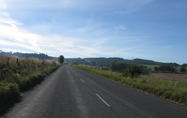
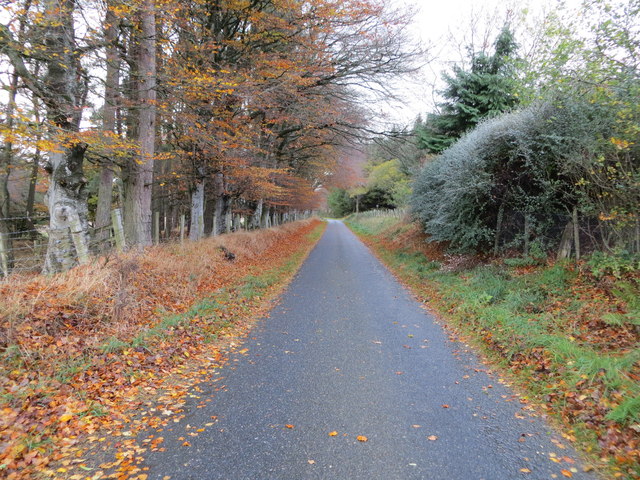
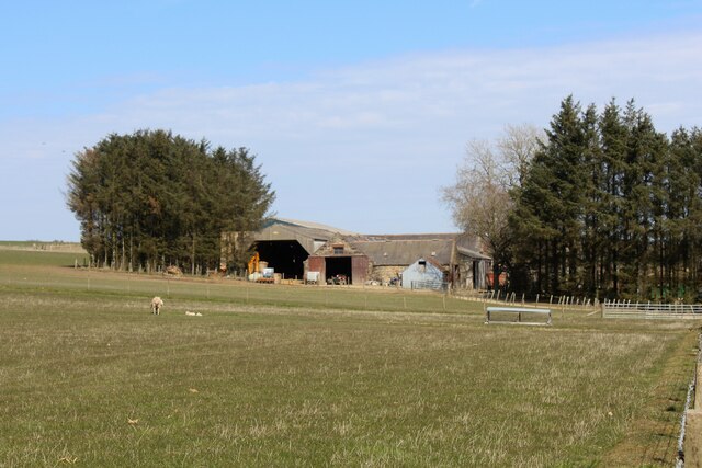
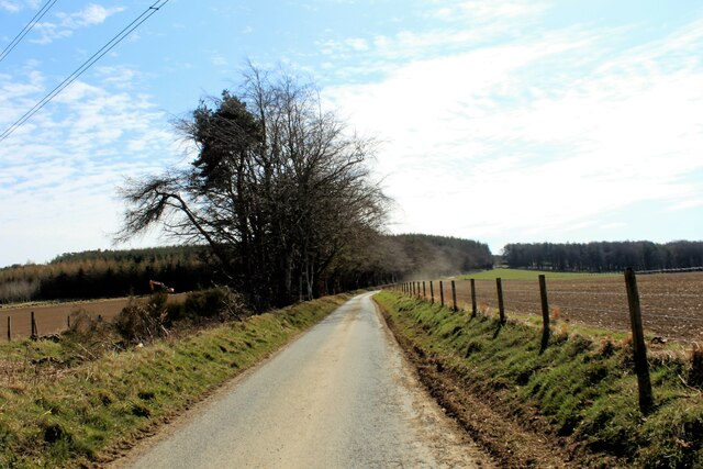
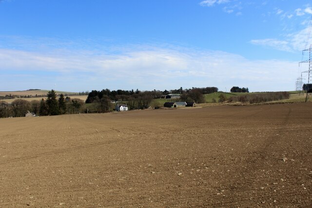
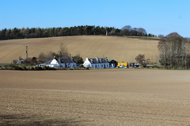
Aucharnie is a small village located in the Aberdeenshire region of Scotland. Situated in the northeast part of the country, it is nestled within the picturesque countryside, surrounded by rolling hills and beautiful landscapes.
The village is known for its tranquil and peaceful atmosphere, making it a popular destination for those seeking a retreat from the hustle and bustle of city life. The area is known for its natural beauty, with numerous walking and hiking trails that offer breathtaking views of the surrounding countryside.
Aucharnie has a small population, consisting mainly of locals who have lived in the area for generations. The village is home to a few amenities, including a local pub and a small convenience store, providing basic necessities for residents and visitors.
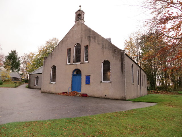
One of the highlights of Aucharnie is its proximity to various historical sites and landmarks. Nearby attractions include the stunning Aberdeenshire Castle, which dates back to the 16th century, and the picturesque Loch Aucharnie, which offers opportunities for fishing and boating.
The village also benefits from its location, as it is within easy reach of larger towns and cities. The city of Aberdeen is approximately 30 miles away, providing residents with access to a wider range of amenities, including shopping centers, restaurants, and cultural attractions.
Overall, Aucharnie offers a peaceful and scenic escape, with its natural beauty and proximity to historical sites making it an ideal destination for those looking to explore the Aberdeenshire region.
If you have any feedback on the listing, please let us know in the comments section below.
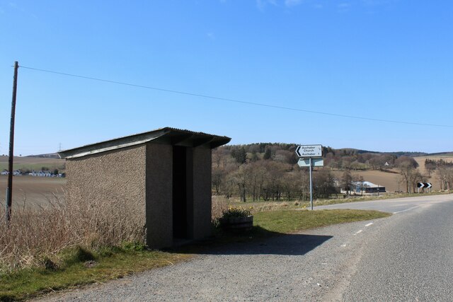
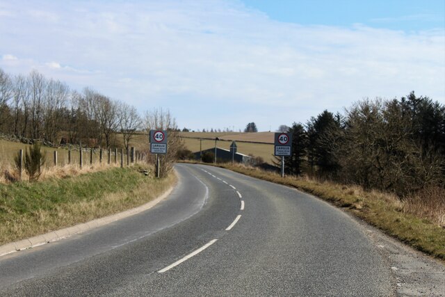
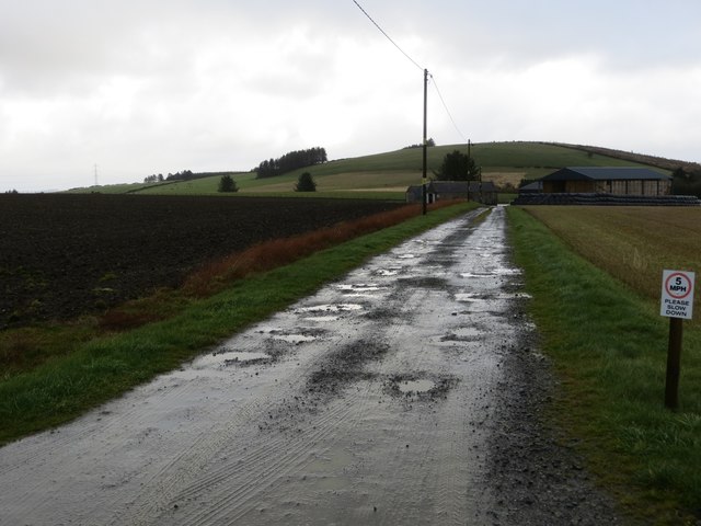
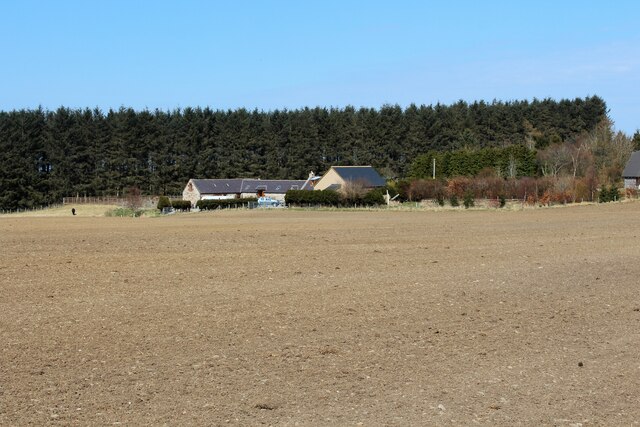
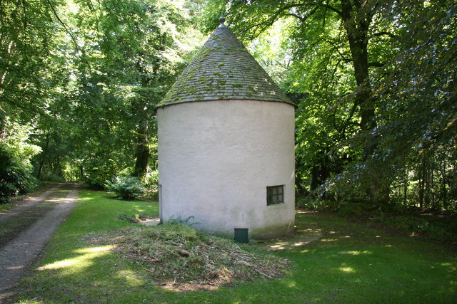
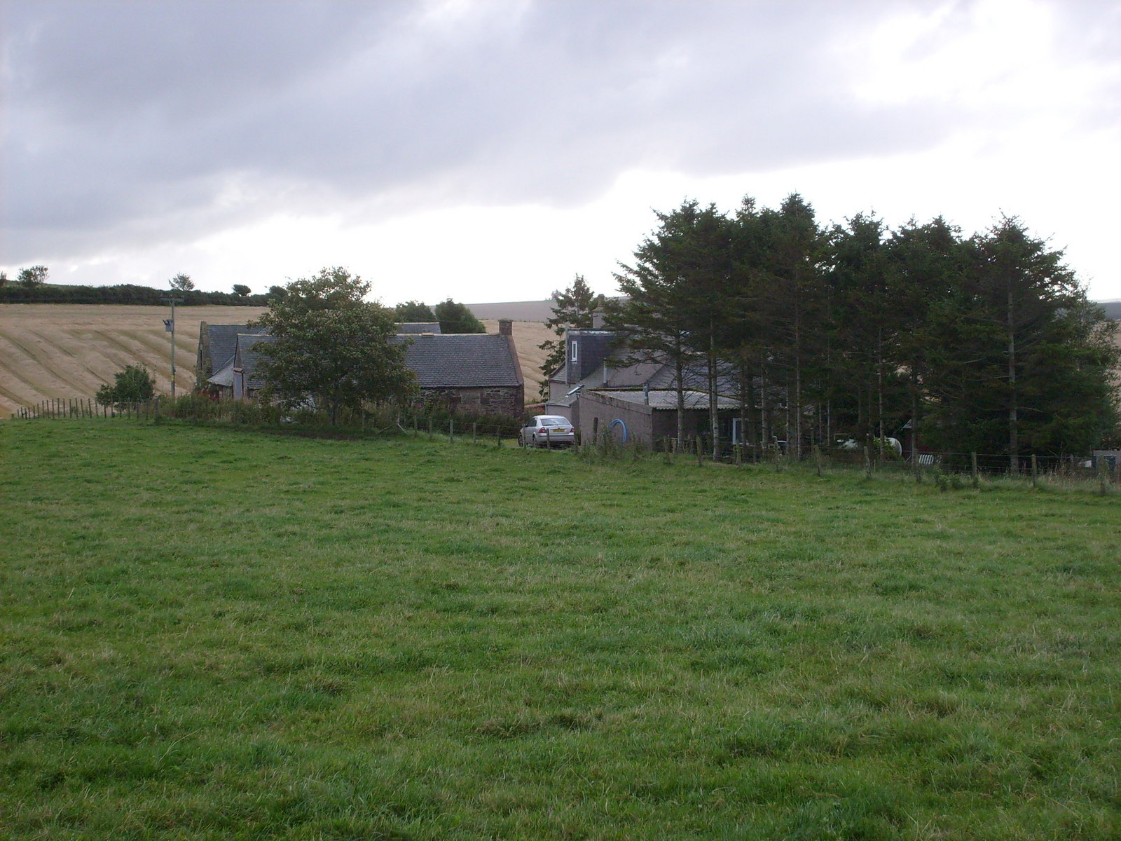
Aucharnie Images
Images are sourced within 2km of 57.460461/-2.6083493 or Grid Reference NJ6341. Thanks to Geograph Open Source API. All images are credited.


Aucharnie is located at Grid Ref: NJ6341 (Lat: 57.460461, Lng: -2.6083493)
Unitary Authority: Aberdeenshire
Police Authority: North East
What 3 Words
///serenade.mime.inquest. Near Rothienorman, Aberdeenshire
Nearby Locations
Related Wikis

Frendraught Castle
Frendraught Castle or House is a 17th-century house, about 6 miles (9.7 km) east of Huntly, Aberdeenshire, Scotland, and 1 mile (1.6 km) west of Largue...

Ythanwells
Ythanwells () is a village in the Marr area of Aberdeenshire, Scotland, lying 10.6 kilometres (6.6 mi) east of Huntly. The village is sometimes known...
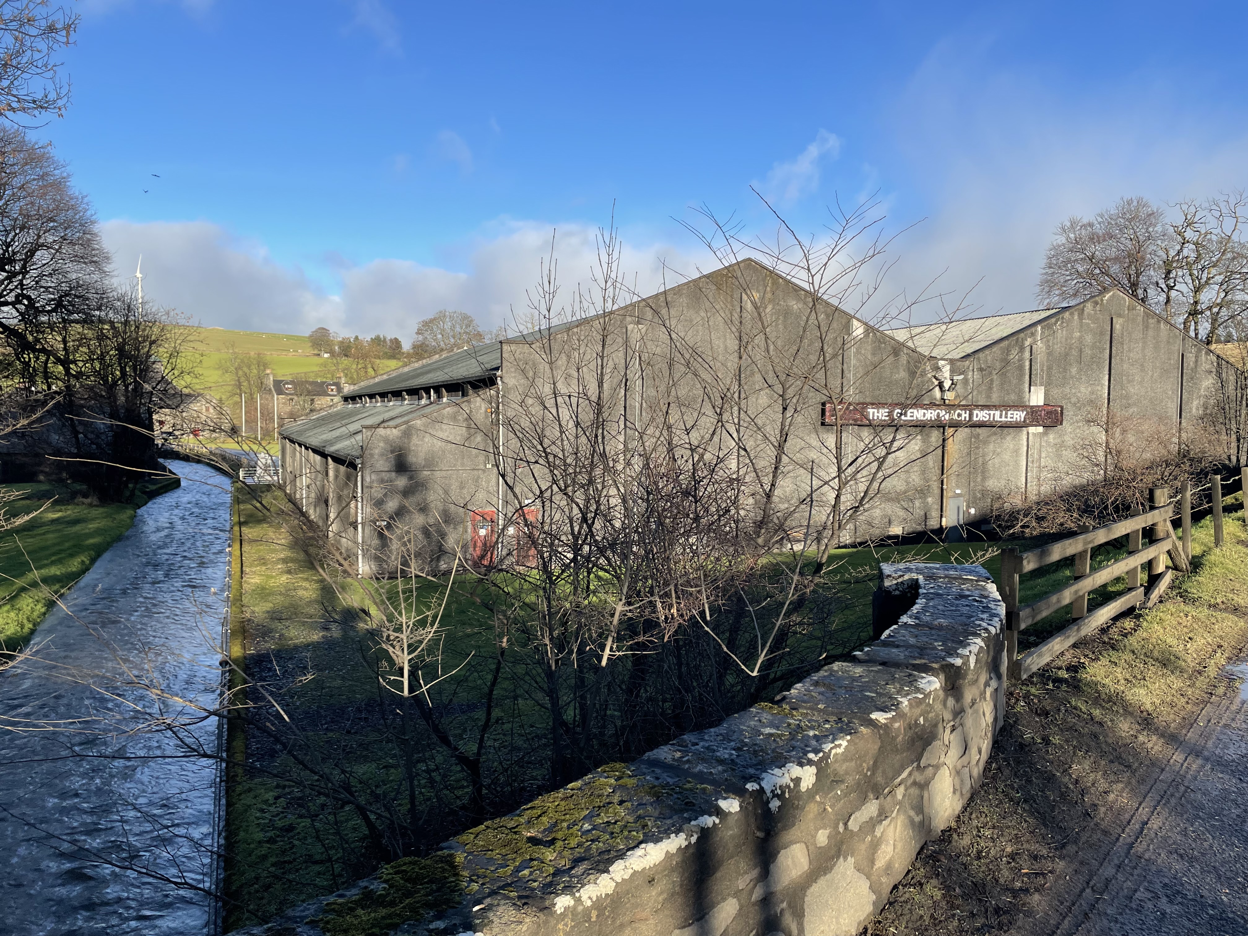
Glendronach distillery
Glendronach distillery is a Scottish whisky distillery located near Forgue, by Huntly, Aberdeenshire, in the Highland whisky district. It was owned by...
Forgue
Forgue is a hamlet in Aberdeenshire. It lies 35 miles (56 km) northwest of Aberdeen and 8 miles (13 km) northeast of Huntly. The Glendronach distillery...

Ythan Wells
Ythan Wells, also known as Glenmailen, is the site of a Roman military camp, near the farm of Glenmellan, 2.1 kilometres (1.3 mi) east of the village of...
Auldyoch
Auldyoch is a farm in Aberdeenshire, Scotland. == References ==

Drumblade
Drumblade is a hamlet in north-western Aberdeenshire, Scotland, which lies 4¾ miles east of the town of Huntly. == Schools == Drumblade Primary School...

Bogniebrae
Bogniebrae () is a small rural settlement in Aberdeenshire, Scotland. It is located at the junction of the A97 and B9001 roads, six miles (ten kilometres...
Nearby Amenities
Located within 500m of 57.460461,-2.6083493Have you been to Aucharnie?
Leave your review of Aucharnie below (or comments, questions and feedback).