Arkleside

Settlement in Yorkshire Richmondshire

England

Arkleside

Ford and Footbridge at Braidley This ford is found on the River Cover at Braidley.
Ford and Footbridge at Braidley Credit: John Walton

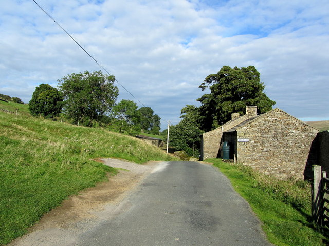
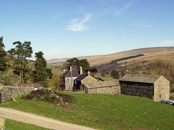
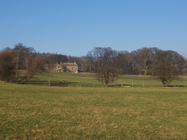
Arkleside is a small village located in the Yorkshire Dales, an area renowned for its stunning natural beauty in North Yorkshire, England. Situated in the Richmondshire district, Arkleside is nestled amidst rolling hills, lush green valleys, and picturesque landscapes.

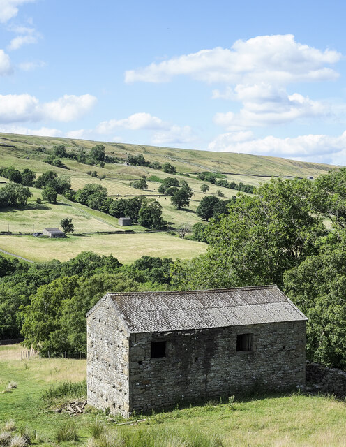
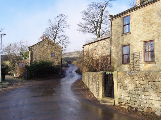
The village is characterized by its charming stone-built houses, which add to its traditional and rustic charm. Its population is estimated to be around 100 residents, creating a tight-knit community atmosphere. Arkleside benefits from a peaceful and tranquil environment, making it an ideal escape from the hustle and bustle of city life.

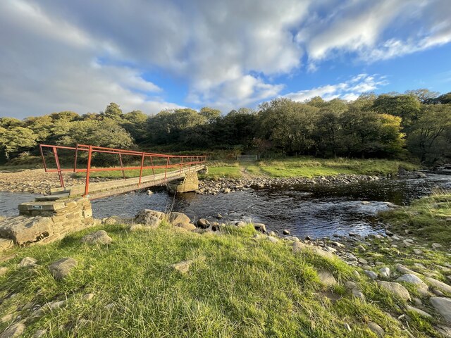
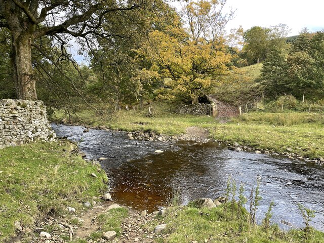
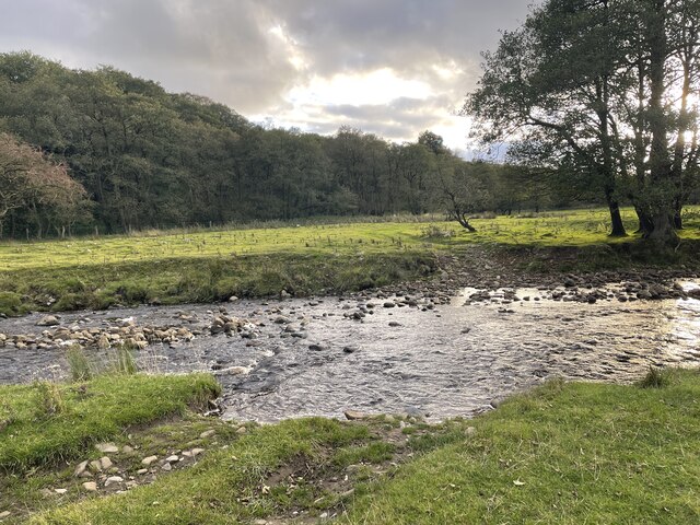
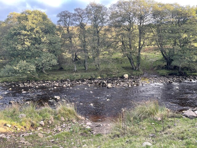
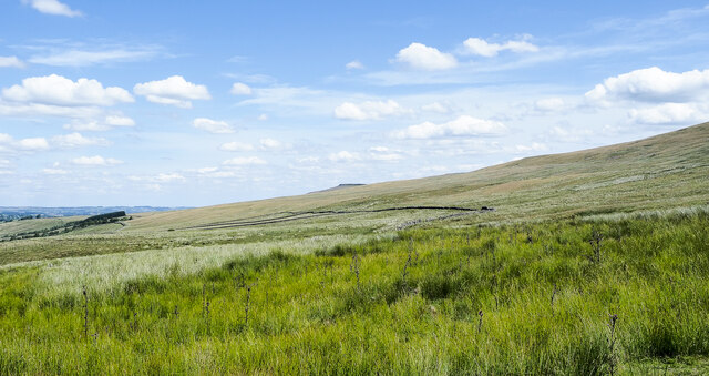
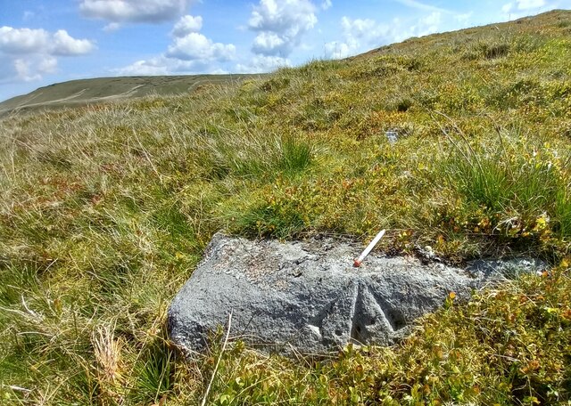
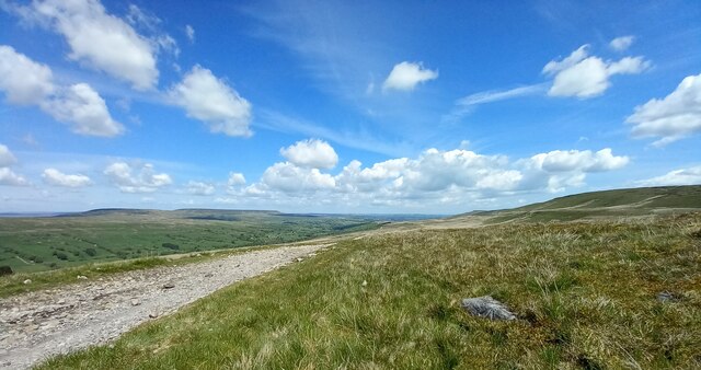
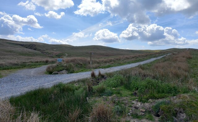
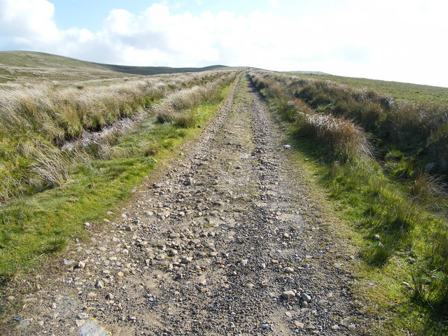
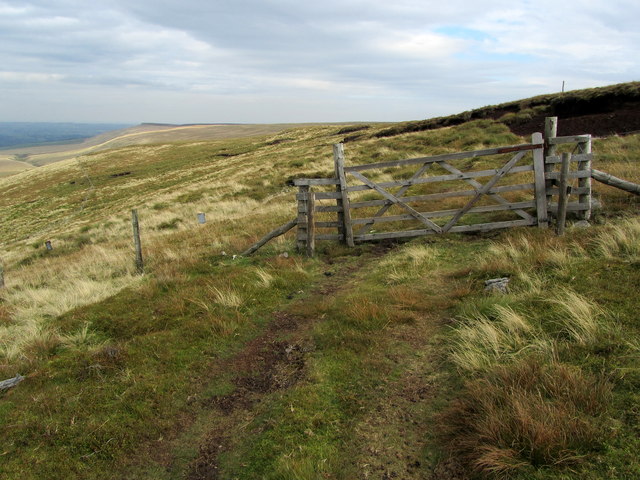
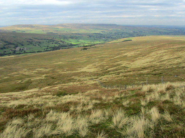
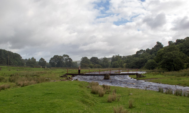
Nature enthusiasts will find plenty to explore in the surrounding area. The village is surrounded by vast expanses of unspoiled countryside, providing numerous walking trails and opportunities for outdoor activities. The nearby Arkle Beck, a small river that meanders through the village, adds to the scenic beauty.

Despite its small size, Arkleside boasts a strong sense of community spirit. The village has a local pub, The Arkle Arms, which serves as a social hub for locals and visitors alike. Additionally, the village hosts various events throughout the year, including fairs and festivals, bringing residents together and attracting tourists.

Located a short distance from the larger market town of Richmond, Arkleside offers a peaceful retreat while still benefiting from nearby amenities. Richmond offers a range of shops, restaurants, and historical attractions, ensuring residents have access to all necessary services.

In summary, Arkleside is a charming village in the heart of the Yorkshire Dales, offering natural beauty, a strong community spirit, and a peaceful lifestyle. It serves as a perfect destination for those seeking a tranquil retreat amidst stunning countryside.

If you have any feedback on the listing, please let us know in the comments section below.
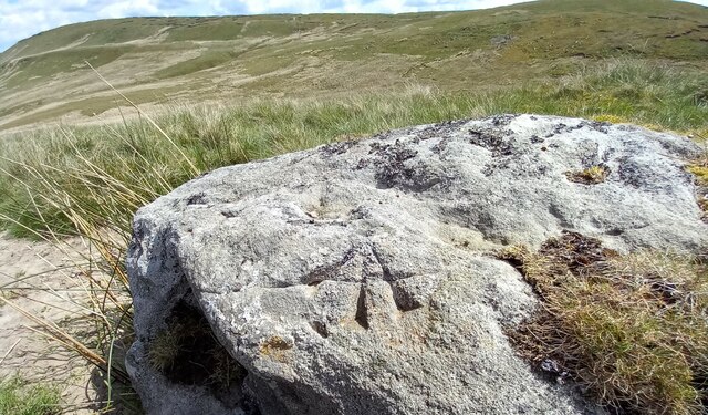
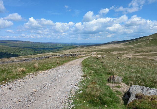
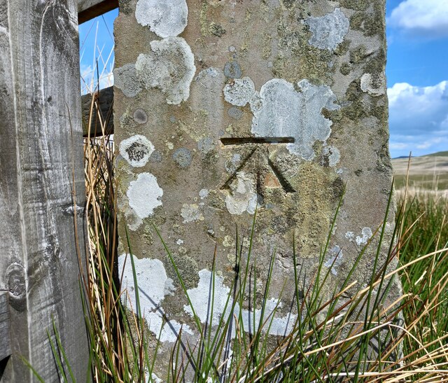
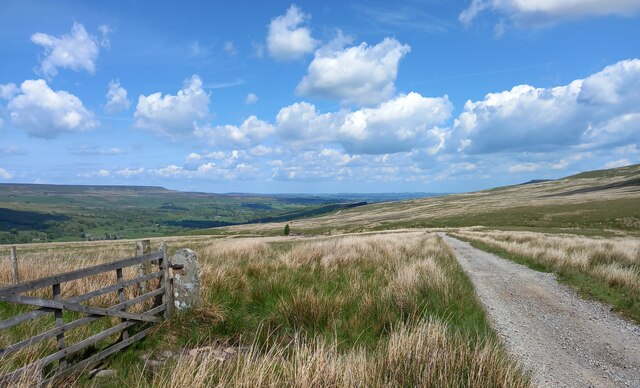
Arkleside Images

Images are sourced within 2km of 54.221241/-1.9342786 or Grid Reference SE0480. Thanks to Geograph Open Source API. All images are credited.

Ford and Footbridge at Braidley This ford is found on the River Cover at Braidley.
Ford and Footbridge at Braidley
This ford is found on the River Cover at Braidley.
Ford on the River Cover This is a second ford on the River Cover at Braidley.
Ford on the River Cover
This is a second ford on the River Cover at Braidley.
River Cover Ford A third ford on the River Cover at this location.
River Cover Ford
A third ford on the River Cover at this location.
River Cover Ford This is another of the series of fords on the River Cover at this location.
River Cover Ford
This is another of the series of fords on the River Cover at this location.
Moorland with Arkleside Pasture Arkleside Pasture is an area of enclosed, marginal farmland on the south side of Coverdale above the small settlement of Arkleside; it lies beyond the rough vegetation in the foreground and the groove of Arkleside Gill which can just be discerned in the image.
Moorland with Arkleside Pasture
Arkleside Pasture is an area of enclosed, marginal farmland on the south side of Coverdale above the small settlement of Arkleside; it lies beyond the rough vegetation in the foreground and the groove of Arkleside Gill which can just be discerned in the image.
Large barn beside Harkera Gill The barn appears to be in good repair. Harkera Gill flows unseen within the trees as it descends to join the River Cover.
Large barn beside Harkera Gill
The barn appears to be in good repair. Harkera Gill flows unseen within the trees as it descends to join the River Cover.
Pivot benchmark cut into boulder on moorland, Nidderdale The pivot benchmark is cut into a large boulder on the east side of the track which leads from Scar House reservoir to Horsehouse in Coverdale. Wider view <a href="https://www.geograph.org.uk/photo/7557646">SE0478 : Views to Coverdale</a>
Pivot benchmark cut into boulder on moorland, Nidderdale
The pivot benchmark is cut into a large boulder on the east side of the track which leads from Scar House reservoir to Horsehouse in Coverdale. Wider view SE0478 : Views to Coverdale
Views to Coverdale There is a pivot benchmark cut into the large boulder on the east side of the track which leads from Scar House reservoir to Horsehouse in Coverdale. Closer view <a href="https://www.geograph.org.uk/photo/7557645">SE0478 : Pivot benchmark cut into boulder on moorland, Nidderdale</a>
Views to Coverdale
There is a pivot benchmark cut into the large boulder on the east side of the track which leads from Scar House reservoir to Horsehouse in Coverdale. Closer view SE0478 : Pivot benchmark cut into boulder on moorland, Nidderdale
Benchmark cut into boulder, Nidderdale The pivot benchmark is cut into a large boulder on the east side of the track which leads from Scar House reservoir to Horsehouse in Coverdale. Wider view <a href="https://www.geograph.org.uk/photo/7557650">SE0479 : Views to Coverdale</a>
Benchmark cut into boulder, Nidderdale
The pivot benchmark is cut into a large boulder on the east side of the track which leads from Scar House reservoir to Horsehouse in Coverdale. Wider view SE0479 : Views to Coverdale
Views to Coverdale There is a pivot benchmark cut into the large boulder on the east side of the track which leads from Scar House reservoir to Horsehouse in Coverdale. Closer view <a href="https://www.geograph.org.uk/photo/7557648">SE0479 : Benchmark cut into boulder, Nidderdale</a>
Views to Coverdale
There is a pivot benchmark cut into the large boulder on the east side of the track which leads from Scar House reservoir to Horsehouse in Coverdale. Closer view SE0479 : Benchmark cut into boulder, Nidderdale
Benchmark cut into gatepost, Nidderdale The benchmark is cut into a stone gatepost on the west side of the track which leads from Scar House reservoir to Horsehouse in Coverdale. Wider view <a href="https://www.geograph.org.uk/photo/7557652">SE0479 : Views to Coverdale</a>
Benchmark cut into gatepost, Nidderdale
The benchmark is cut into a stone gatepost on the west side of the track which leads from Scar House reservoir to Horsehouse in Coverdale. Wider view SE0479 : Views to Coverdale
Views to Coverdale There is a benchmark cut into the stone gatepost on the west side of the track which leads from Scar House reservoir to Horsehouse in Coverdale. Closer view <a href="https://www.geograph.org.uk/photo/7557651">SE0479 : Benchmark cut into gatepost, Nidderdale</a>
Views to Coverdale
There is a benchmark cut into the stone gatepost on the west side of the track which leads from Scar House reservoir to Horsehouse in Coverdale. Closer view SE0479 : Benchmark cut into gatepost, Nidderdale
Track junction, Dead Man's Hill or Scar House Reservoir According to the 19010 map at this track intersection there was a benchmark. Nothing was found.
Track junction, Dead Man's Hill or Scar House Reservoir
According to the 19010 map at this track intersection there was a benchmark. Nothing was found.
Fellside Track On the excellent track from Scar House Reservoir which goes over the saddle between Dead Man's Hill and Little Whernside steadily dropping down to Arkleside in Coverdale. This is the Coverdale side of the track looking towards Dead Man's Hill. This is what you will see after the track takes a 90% turn half a mile South of Arkleside.
Fellside Track
On the excellent track from Scar House Reservoir which goes over the saddle between Dead Man's Hill and Little Whernside steadily dropping down to Arkleside in Coverdale. This is the Coverdale side of the track looking towards Dead Man's Hill. This is what you will see after the track takes a 90% turn half a mile South of Arkleside.
On the Lip of Arkleside Moor A track runs along the lip of a steep slope below Arkleside Moor - but is not shown on the definitive map.
On the Lip of Arkleside Moor
A track runs along the lip of a steep slope below Arkleside Moor - but is not shown on the definitive map.
A View over Coverdale Great vistas can be appreciated on the descent of Carle Fell and Arkleside Moor into Coverdale.
A View over Coverdale
Great vistas can be appreciated on the descent of Carle Fell and Arkleside Moor into Coverdale.
Approaching Braidley This quiet road that runs the length of Coverdale, seen here approaching the hamlet of Braidley
Approaching Braidley
This quiet road that runs the length of Coverdale, seen here approaching the hamlet of Braidley
River Cover footbridge at Braidley This footbridge is not shown on my OS map which denotes a ford crossing the River Cover. The public footpath between Woodale and Arkleside passes along the north bank of the river and gives access to the small village of Braidley.
River Cover footbridge at Braidley
This footbridge is not shown on my OS map which denotes a ford crossing the River Cover. The public footpath between Woodale and Arkleside passes along the north bank of the river and gives access to the small village of Braidley.
Show me another place!

Arkleside is located at Grid Ref: SE0480 (Lat: 54.221241, Lng: -1.9342786)

Division: North Riding

Administrative County: North Yorkshire

District: Richmondshire

Police Authority: North Yorkshire

What 3 Words

///reporters.magpie.embers. Near Leyburn, North Yorkshire

Related Wikis

Horsehouse

Horsehouse is a village in Coverdale in the Yorkshire Dales, North Yorkshire, England. It is listed as a hamlet in many texts, but the presence of the...

Braidley

Braidley is a hamlet in Coverdale in the Yorkshire Dales, England. It lies in the civil parish of Carlton Highdale in the Richmondshire district of North...

Carlton Highdale

Carlton Highdale is a civil parish in Coverdale, North Yorkshire, England. According to the 2001 census it had a population of 95. The parish covers the...

Woodale

Woodale is a hamlet in Coverdale in the Yorkshire Dales in England. It lies in the civil parish of Carlton Highdale in the Richmondshire district of North...

Gammersgill

Gammersgill is a hamlet in Coverdale in the Yorkshire Dales, North Yorkshire, England. It is about 7 miles (11 km) south-west of Leyburn. The toponym is...

Little Whernside

Little Whernside is a hill in the Yorkshire Dales, North Yorkshire, England, 2.82 miles (4.54 km) north east of Great Whernside. It is on the boundary...

Walden, North Yorkshire

Walden is a dale and hamlet in the Yorkshire Dales, North Yorkshire, England. The dale is a side dale of Wensleydale, sometimes known as Waldendale or...

Coverdale, North Yorkshire

Coverdale is a dale in the far east of the Yorkshire Dales, North Yorkshire, England. It takes its name from the River Cover, a tributary of the River...

Nearby Amenities

Located within 500m of 54.221241,-1.9342786
Arkleside
Place: hamlet
Lat/Long: 54.220464/-1.9335582
Sowersett
Place: farm
Lat/Long: 54.2225891/-1.9285169
The data included in this document is from www.openstreetmap.org. The data is made available under ODbL.

Have you been to Arkleside?

Leave your review of Arkleside below (or comments, questions and feedback).