Arcan
Settlement in Ross-shire
Scotland
Arcan
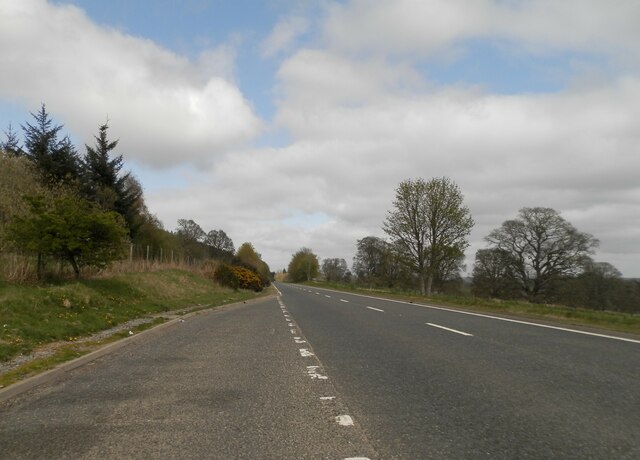
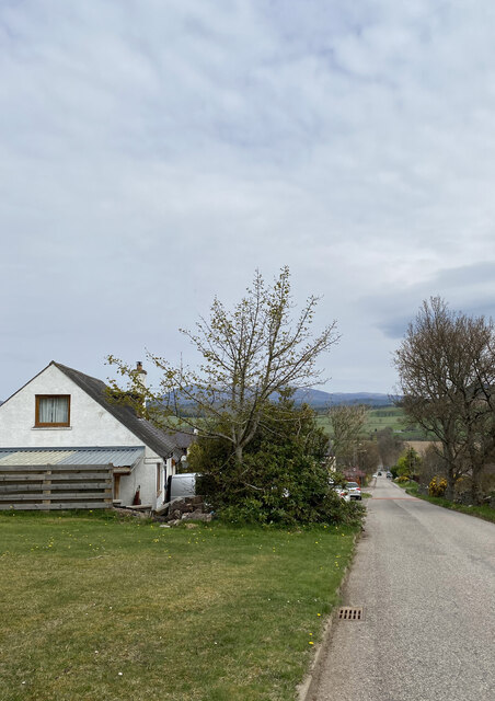
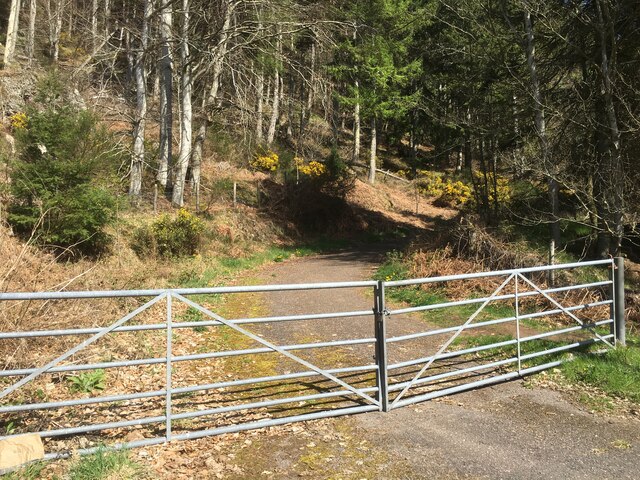
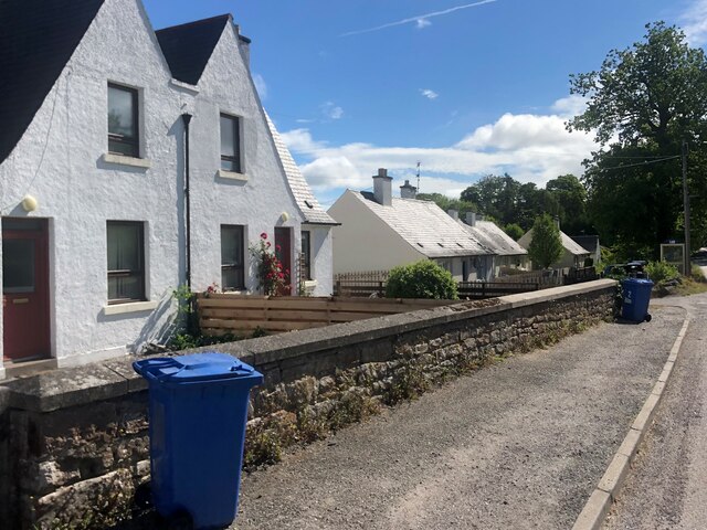
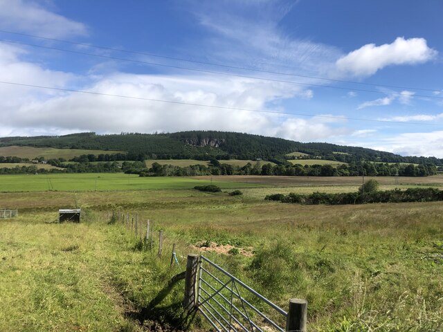
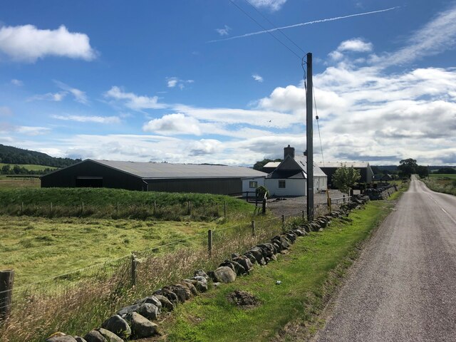
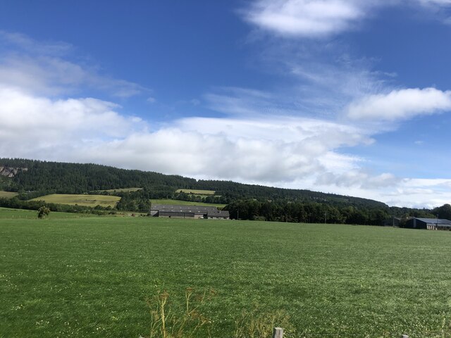
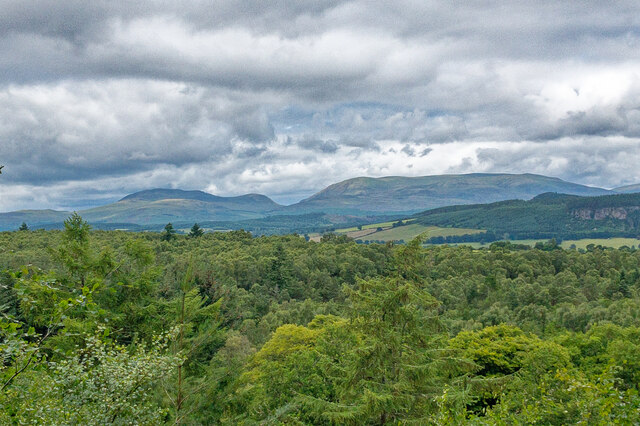
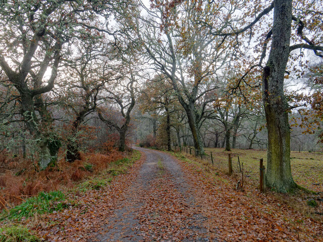
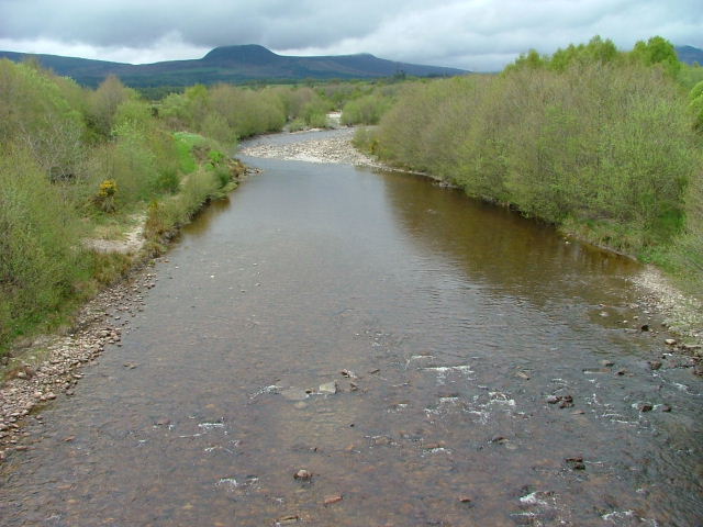
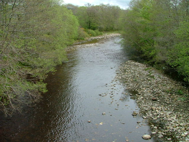
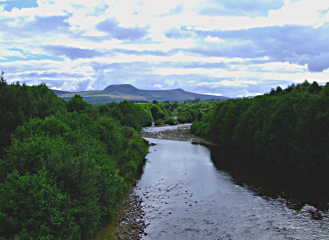
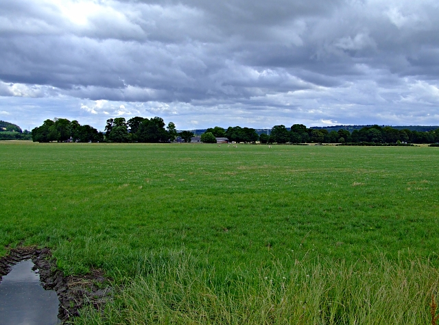
Arcan is a small village located in the county of Ross-shire, in the Highland region of Scotland. Situated on the eastern banks of the River Conon, Arcan is nestled amidst stunning natural beauty, with rolling hills and picturesque landscapes surrounding the area.
The village is home to a tight-knit community and has a population of just under 500 residents. It is known for its peaceful and tranquil atmosphere, making it an ideal destination for those seeking a serene getaway. The village has a strong sense of community spirit, with locals taking pride in maintaining the village's charm and character.
Arcan is rich in history, with evidence of human settlement dating back thousands of years. The nearby Fairy Hill is believed to be the site of an ancient burial ground, adding to the village's historical significance. The area also boasts several well-preserved stone circles and standing stones, providing a glimpse into the region's ancient past.
In terms of amenities, Arcan offers a range of facilities for its residents and visitors. The village has a primary school, a community hall, and a small convenience store. There are also a few local businesses, including a traditional pub and a bakery, where visitors can enjoy delicious homemade treats.
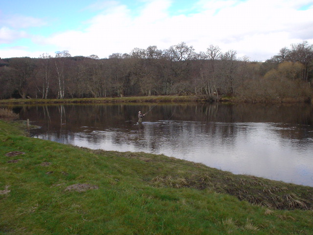
For outdoor enthusiasts, Arcan offers ample opportunities for exploration and adventure. The surrounding countryside provides numerous walking and hiking trails, allowing visitors to immerse themselves in the breathtaking scenery. Anglers can also enjoy fishing in the nearby river, which is known for its abundance of salmon and trout.
In summary, Arcan is a charming village in Ross-shire, Scotland, offering a peaceful and picturesque setting, a rich history, and a warm and welcoming community.
If you have any feedback on the listing, please let us know in the comments section below.
Arcan Images
Images are sourced within 2km of 57.543309/-4.5074059 or Grid Reference NH5053. Thanks to Geograph Open Source API. All images are credited.


Arcan is located at Grid Ref: NH5053 (Lat: 57.543309, Lng: -4.5074059)
Unitary Authority: Highland
Police Authority: Highlands and Islands
What 3 Words
///doors.replayed.renews. Near Muir of Ord, Highland
Nearby Locations
Related Wikis
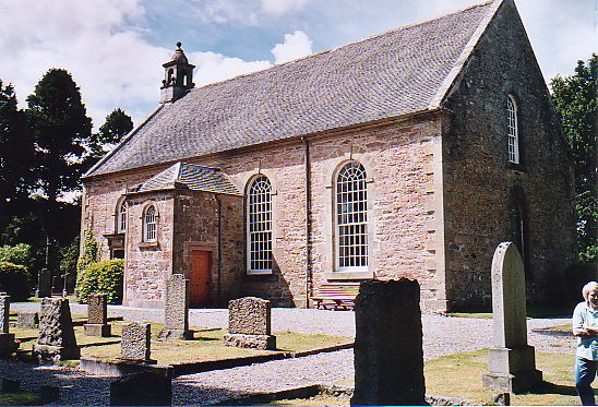
Urray
Urray (Scottish Gaelic: Urrath) is a scattered village and coastal parish, consisting of Easter, Old and Wester Urray and is located in the county of Ross...
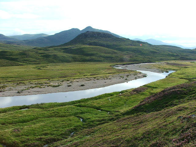
River Orrin
The River Orrin is a river in former Ross-shire, Highland, northern Scotland. The River Orrin is dammed in Glen Orrin making the Orrin Reservoir. It later...
Siege of Brahan
The siege of Brahan took place in Scotland in November 1715 and was part of the Jacobite rising of 1715. Highlanders loyal to the British-Hanoverian government...
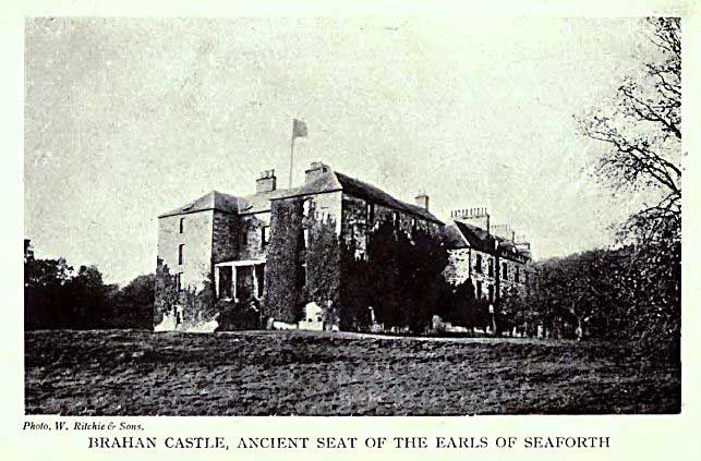
Brahan Castle
Brahan Castle was situated 3.5 miles (5.6 km) south-west of Dingwall, in Easter Ross, Highland Scotland. The castle belonged to the Earls of Seaforth,...
Related Videos

Solo wild camp in Scottish forest
Join me for a night in a beautiful scotland woodland for a wild camp, listen to the beautiful sounds of nature with me. #adventure ...

Summer 2023 3
Campervan park up site at Brahan - only has water and waste but really peacefull place £13 per night.
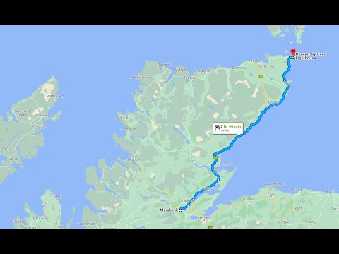
Scotland's North Coast Drive: Marybank to Duncansby Head Adventure
travel #travelvlog #PSEUDODRIVE UK-UK (Marybank to Duncansby Head Light House) Embark on an epic Scottish road trip with ...

#shorts Marybank 360 from sky
dji #travel #shorts.
Nearby Amenities
Located within 500m of 57.543309,-4.5074059Have you been to Arcan?
Leave your review of Arcan below (or comments, questions and feedback).