Almeley Wooton
Settlement in Herefordshire
England
Almeley Wooton
Almeley Wooton is a small village located in the county of Herefordshire, England. Situated in the West Midlands region, the village lies approximately 15 miles northwest of Hereford, the county town. Almeley Wooton is part of the civil parish of Almeley, which also includes the nearby village of Almeley.
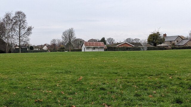
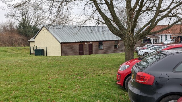
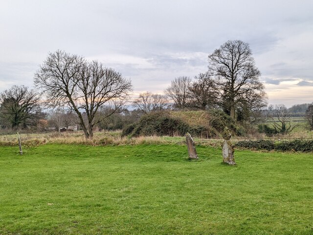
The village is nestled in a picturesque rural setting, surrounded by rolling countryside and farmland. It is known for its idyllic charm and peaceful atmosphere, making it a popular destination for those seeking a tranquil retreat. Almeley Wooton's rural location also provides ample opportunities for outdoor activities such as hiking, cycling, and horse riding.
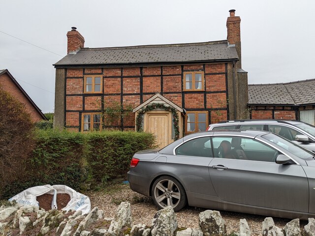
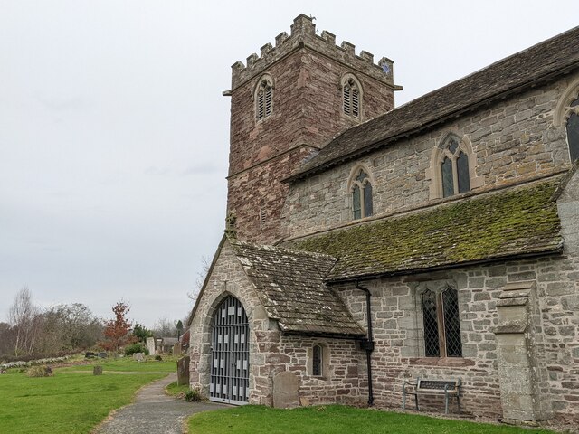
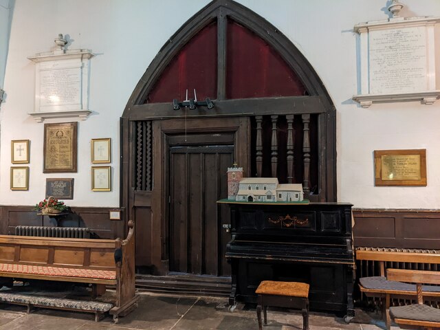
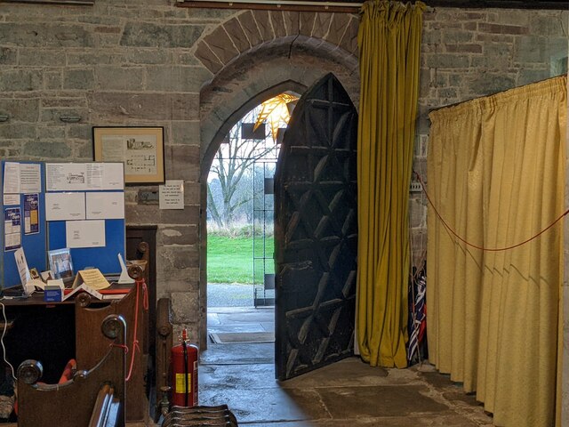
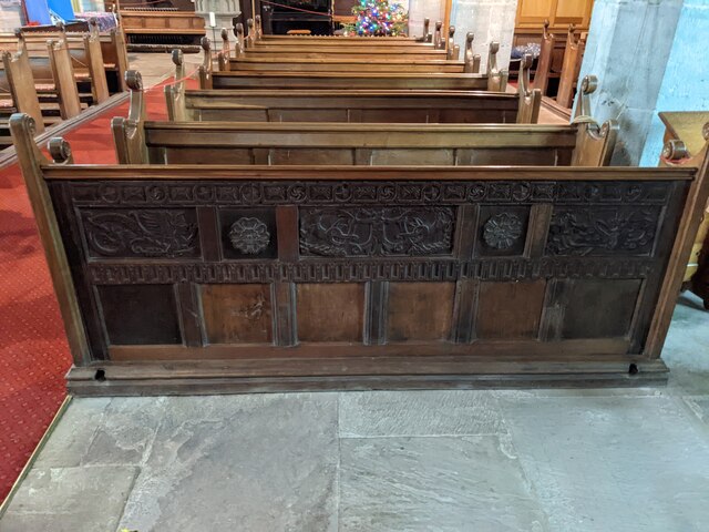
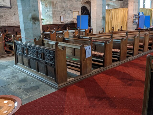
The village features a quaint collection of traditional stone cottages and houses, giving it a timeless and traditional feel. Additionally, Almeley Wooton boasts a historic church, St Mary's, which dates back to the 12th century. This church is a notable architectural landmark and attracts visitors interested in its history and architecture.
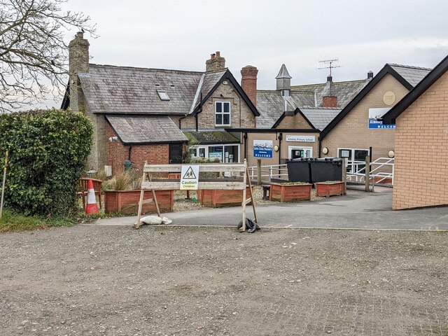
While Almeley Wooton is a small village, it benefits from its proximity to the larger town of Kington, which is approximately four miles to the northwest. Kington offers a range of amenities including shops, schools, and healthcare facilities, which are easily accessible for residents of Almeley Wooton.
Overall, Almeley Wooton is a charming village, known for its rural beauty, historic church, and peaceful ambiance. It provides a delightful escape from urban life while still offering convenient access to nearby towns and amenities.
If you have any feedback on the listing, please let us know in the comments section below.
Almeley Wooton Images
Images are sourced within 2km of 52.166841/-2.9768944 or Grid Reference SO3352. Thanks to Geograph Open Source API. All images are credited.


Almeley Wooton is located at Grid Ref: SO3352 (Lat: 52.166841, Lng: -2.9768944)
Unitary Authority: County of Herefordshire
Police Authority: West Merica
Also known as: Almeley Wootton
What 3 Words
///brings.transcribes.noted. Near Kinnersley, Herefordshire
Nearby Locations
Related Wikis
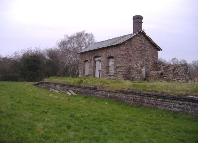
Almeley railway station
Almeley railway station was a railway station on the line from Kington to Eardisley in the English county of Herefordshire. == History == Opened on the...

Almeley
Almeley (pronounced ) is a village and civil parish in Herefordshire, England. The civil parish includes the hamlets of Almeley Wooton and Upcott. The...

Woonton
Woonton is a hamlet which forms part of the parish of Almeley in Herefordshire, England. It is on the A480 road and is near the town of Kington.
Holme Marsh
Holme Marsh (Originally Holmes) is a village in Herefordshire, England on the A480 road. It is near the Welsh border and the small town of Kington. A...
Nearby Amenities
Located within 500m of 52.166841,-2.9768944Have you been to Almeley Wooton?
Leave your review of Almeley Wooton below (or comments, questions and feedback).