Aldie

Settlement in Aberdeenshire

Scotland

Aldie

Entrance to Stoneyhill Landfill site old quarry now used as a major landfill and waste management site.Controversially waste is transported over 100 miles from Highland Region to be disposed of here
Entrance to Stoneyhill Landfill site Credit: Ken Fitlike

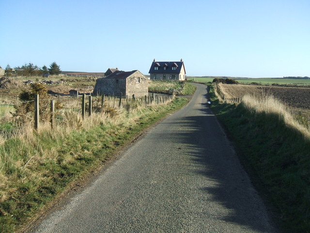
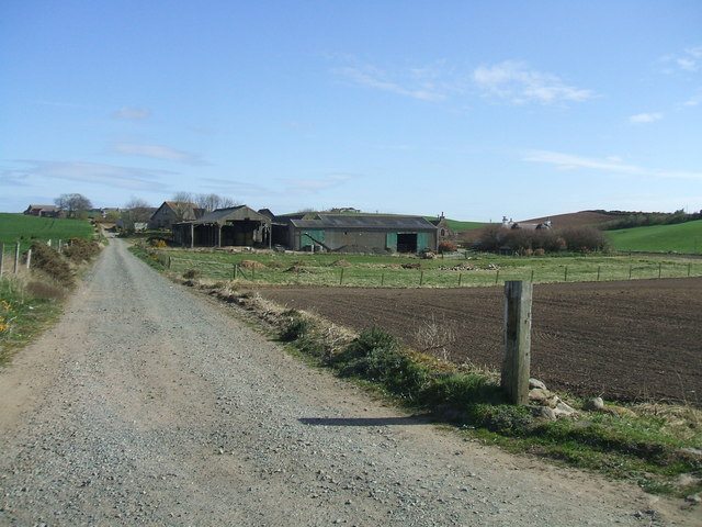
Aldie is a small hamlet located in the region of Aberdeenshire, Scotland. Situated approximately 4 miles northwest of the town of Turriff, Aldie is nestled amidst the picturesque countryside of northeastern Scotland. This rural settlement is characterized by its tranquility and natural beauty.

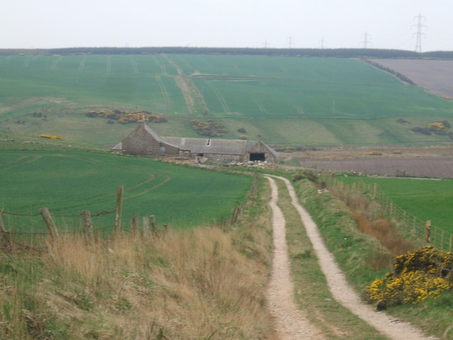
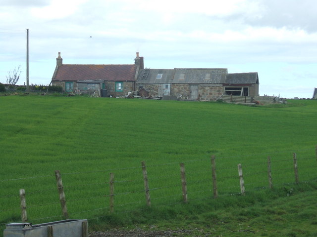
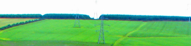
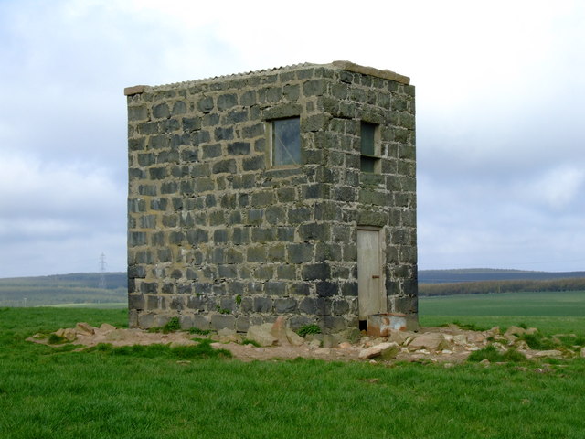
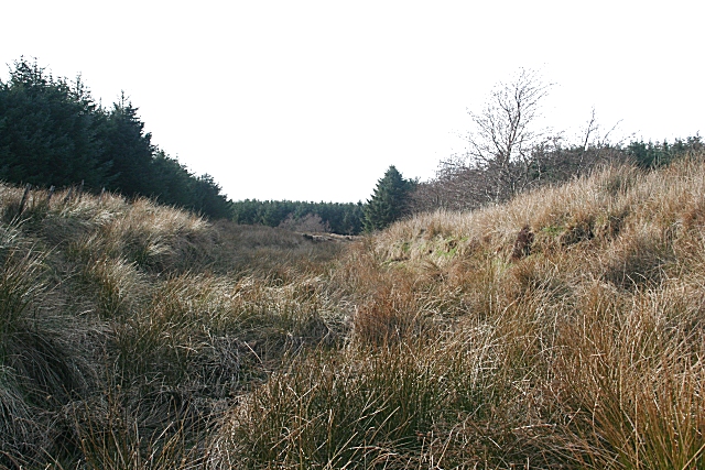
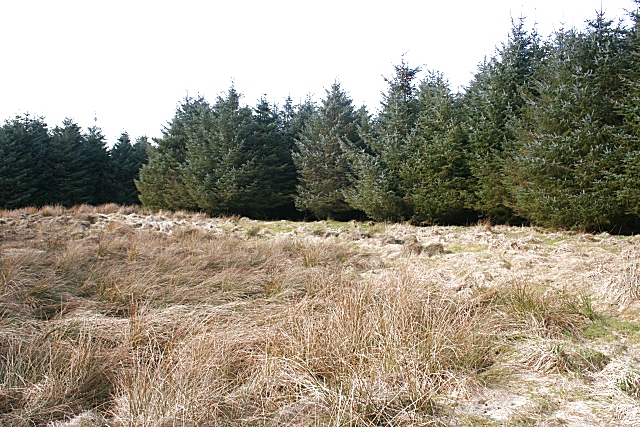
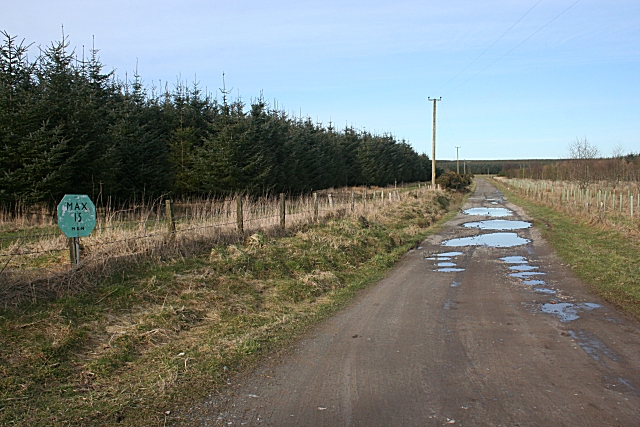
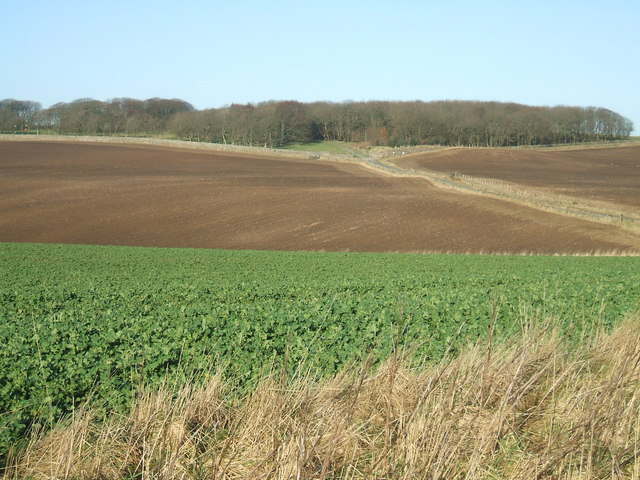
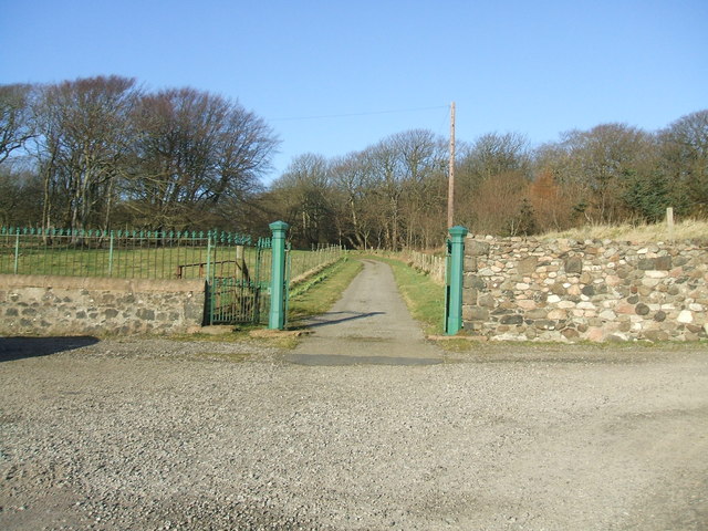
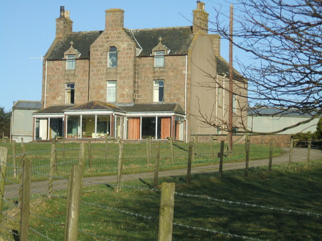
The hamlet of Aldie is home to a handful of residential properties, mainly traditional Scottish cottages and farmhouses. The surrounding landscape is dominated by rolling hills, verdant fields, and scattered woodlands, providing a peaceful and idyllic setting for residents and visitors alike.

Aldie is a close-knit community, with a population of around 100 people. The residents enjoy a close connection with nature and agricultural activities, with several farms and agricultural businesses operating in the area. These farms produce a variety of crops and livestock, contributing to the local economy.

Despite its small size, Aldie benefits from its proximity to nearby towns and cities. Turriff, with its range of amenities including shops, restaurants, and schools, is just a short drive away. The coastal city of Aberdeen, known for its rich history and vibrant city life, is approximately 35 miles southeast of Aldie, providing further opportunities for work and leisure.

For those seeking outdoor pursuits, Aldie offers ample opportunities for walking, cycling, and exploring the Scottish countryside. The surrounding area is also popular for fishing, with several rivers and lochs nearby providing opportunities for angling enthusiasts.

In summary, Aldie is a charming and peaceful hamlet in Aberdeenshire, Scotland. With its beautiful natural surroundings and close-knit community, it offers a tranquil retreat for residents and visitors seeking a rural lifestyle in northeastern Scotland.

If you have any feedback on the listing, please let us know in the comments section below.
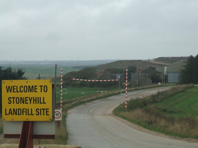
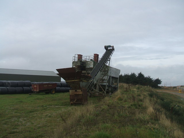
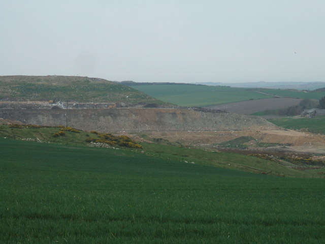
Aldie Images

Images are sourced within 2km of 57.448676/-1.8876661 or Grid Reference NK0639. Thanks to Geograph Open Source API. All images are credited.

Entrance to Stoneyhill Landfill site old quarry now used as a major landfill and waste management site.Controversially waste is transported over 100 miles from Highland Region to be disposed of here
Entrance to Stoneyhill Landfill site
old quarry now used as a major landfill and waste management site.Controversially waste is transported over 100 miles from Highland Region to be disposed of here
old quarry equipment at Stoneyhill quarry adjacent to Stoneyhill Farm now being utilised as a major land-fill site
old quarry equipment at Stoneyhill
quarry adjacent to Stoneyhill Farm now being utilised as a major land-fill site
Croft between Cairncatto and Stoneyhill
Stoneyhill Landfill from the north
Croft at East Stoneyhill Standing forlornly alone next to the desolate rough land of Hill of Longhaven
Croft at East Stoneyhill
Standing forlornly alone next to the desolate rough land of Hill of Longhaven
Power line climbing the Hill of Aldie Note the ridgetop forest notch cut into the monoculture coniferous stand atop the Hill of Aldie to accommodate the transmission line right-of-way.  Photo is a two stitch panorama.
Power line climbing the Hill of Aldie
Note the ridgetop forest notch cut into the monoculture coniferous stand atop the Hill of Aldie to accommodate the transmission line right-of-way. Photo is a two stitch panorama.
Water Tower at Aldie Old stone built water tower located on the farm of Aldie in Aberdeenshire.
Water Tower at Aldie
Old stone built water tower located on the farm of Aldie in Aberdeenshire.
Weather Monitoring Mast Fitted with several anemometers for measuring wind speed, and a solar powered radio telemetry transmitter, this "temporary" mast has been a feature on Aldie Farm in Aberdeenshire for a number of years.  Presumably intended to provide information with a view to infesting the area with a windfarm, this project was knocked back after much local objection.
Weather Monitoring Mast
Fitted with several anemometers for measuring wind speed, and a solar powered radio telemetry transmitter, this "temporary" mast has been a feature on Aldie Farm in Aberdeenshire for a number of years. Presumably intended to provide information with a view to infesting the area with a windfarm, this project was knocked back after much local objection.
Unnamed Burn There really is a burn in there somewhere among the rushes. It drains part of the forest on the Hill of Aldie into the Laeca Burn.
Unnamed Burn
There really is a burn in there somewhere among the rushes. It drains part of the forest on the Hill of Aldie into the Laeca Burn.
Lookout Tower It's quite hard to imagine what the lookout could be used for, as the surrounding trees are all taller. In any case, it has seen better days, because there is no floor to the platform, and the steps look a bit rickety.
Lookout Tower
It's quite hard to imagine what the lookout could be used for, as the surrounding trees are all taller. In any case, it has seen better days, because there is no floor to the platform, and the steps look a bit rickety.
Forest Clearing This square is mostly forest, though on the 1976 map it is shown as treeless moorland and bog. However the trees here have been planted well back from the burn, leaving a rushy clearing which is a bit easier to photograph.
Forest Clearing
This square is mostly forest, though on the 1976 map it is shown as treeless moorland and bog. However the trees here have been planted well back from the burn, leaving a rushy clearing which is a bit easier to photograph.
Power Line on Hill of Aldie Although this square is almost all forested, the power line runs across one corner.
Power Line on Hill of Aldie
Although this square is almost all forested, the power line runs across one corner.
Max 15 mph Seeing the road, you wouldn't think a warning sign would be necessary. Yet I am assured that people do tackle this series of potholes at speeds great enough to warrant having the sign there.
Max 15 mph
Seeing the road, you wouldn't think a warning sign would be necessary. Yet I am assured that people do tackle this series of potholes at speeds great enough to warrant having the sign there.
View towards Aldie
View towards Aldie
Aldie Farm entrance gate A touch of grandeur compared with most of the local farms!
Aldie Farm entrance gate
A touch of grandeur compared with most of the local farms!
Aldie farmhouse
Aldie farmhouse
South Stonehousehill Juxtaposition of old barn with brand new house
South Stonehousehill
Juxtaposition of old barn with brand new house
Farm road leading to Greenwards the farm itself straddles the NK05 / NK06 grid line
Farm road leading to Greenwards
the farm itself straddles the NK05 / NK06 grid line
Show me another place!

Aldie is located at Grid Ref: NK0639 (Lat: 57.448676, Lng: -1.8876661)

Unitary Authority: Aberdeenshire

Police Authority: North East

What 3 Words

///record.haggis.streamers. Near Cruden Bay, Aberdeenshire

Nearby Locations

Aldie

Related Wikis

Nearby Amenities

Located within 500m of 57.448676,-1.8876661
Aldie
Place: locality
Lat/Long: 57.4494785/-1.8866503
Power: pole
Lat/Long: 57.445264/-1.8927101
Power: pole
Lat/Long: 57.4461117/-1.892987
Power: pole
Lat/Long: 57.4469607/-1.8932706
Power: pole
Lat/Long: 57.4477637/-1.8935249
Power: pole
Lat/Long: 57.4485629/-1.8937747
Power: pole
Lat/Long: 57.4494094/-1.8940651
Power: pole
Lat/Long: 57.4502523/-1.8943577
Power: pole
Lat/Long: 57.4509026/-1.8945917
Power: pole
Lat/Long: 57.4480773/-1.8958679
Power: pole
Lat/Long: 57.4481839/-1.8950779
Power: pole
Lat/Long: 57.4483583/-1.8938242
Power: pole
Lat/Long: 57.448506/-1.8927777
Power: pole
Lat/Long: 57.4486465/-1.891704
Power: pole
Lat/Long: 57.4487955/-1.8906169
Power: pole
Lat/Long: 57.4489396/-1.8895591
Power: pole
Lat/Long: 57.4490885/-1.8885238
The data included in this document is from www.openstreetmap.org. The data is made available under ODbL.

Have you been to Aldie?

Leave your review of Aldie below (or comments, questions and feedback).