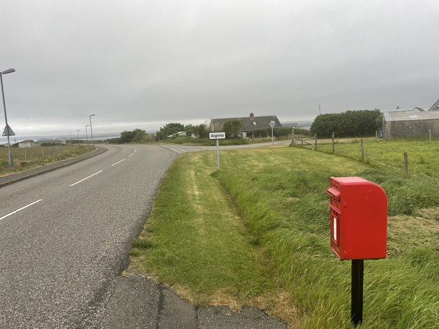
Aignish
Settlement in Ross-shire
Scotland
Aignish

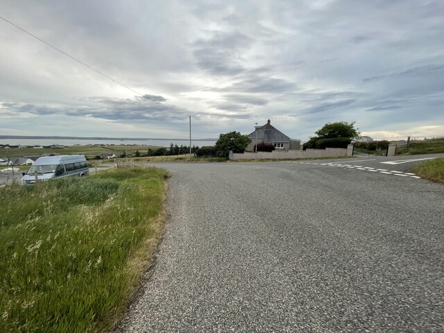
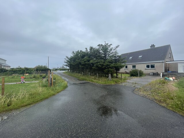
Aignish is a charming village located in the Ross-shire region of Scotland. Situated on the western coast of the Isle of Lewis, it enjoys breathtaking views of the Atlantic Ocean. With a population of around 200 residents, Aignish offers a peaceful and close-knit community atmosphere.
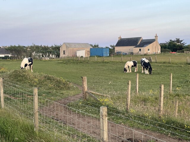
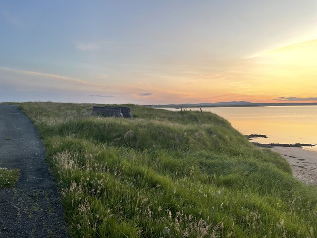
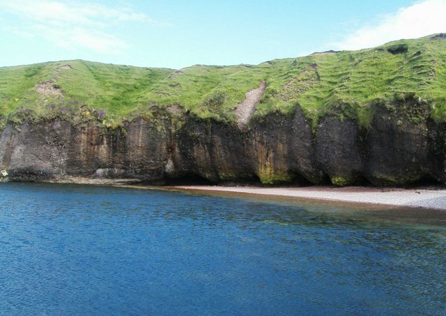
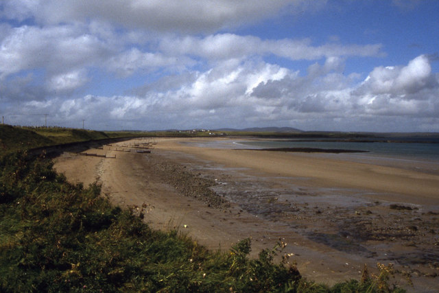
The village is known for its picturesque landscapes, featuring rolling hills, rugged cliffs, and pristine beaches. Aignish Beach, in particular, is a popular spot for locals and visitors alike, offering a tranquil setting for walks, picnics, and breathtaking sunsets.
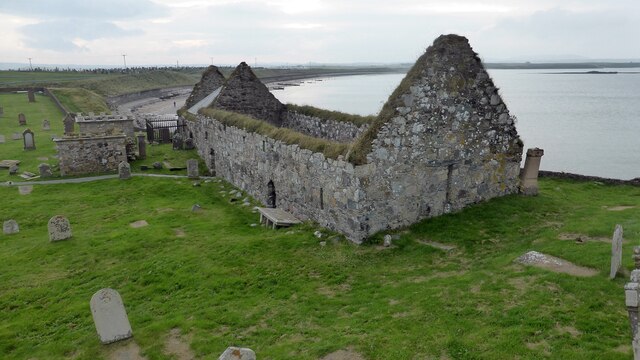
Despite its small size, Aignish has a rich history. The village is home to several ancient archaeological sites, including an Iron Age broch and a Neolithic chambered cairn. These historical landmarks attract history enthusiasts and archaeologists, providing a glimpse into the past.
Aignish is also known for its vibrant Gaelic culture. The village hosts various events throughout the year, including traditional music festivals and ceilidhs, where locals and visitors can experience authentic Scottish music, dance, and cuisine.
The village itself has limited amenities, with a small local shop catering to essential needs. However, nearby towns such as Stornoway offer a wider range of services, including supermarkets, schools, and healthcare facilities.
Overall, Aignish is a hidden gem on the Isle of Lewis, offering stunning natural beauty and a strong sense of community. Whether exploring its ancient history, enjoying the tranquility of its beaches, or immersing oneself in Gaelic traditions, Aignish provides a unique and unforgettable experience for all who visit.
If you have any feedback on the listing, please let us know in the comments section below.
Aignish Images
Images are sourced within 2km of 58.209244/-6.2796279 or Grid Reference NB4832. Thanks to Geograph Open Source API. All images are credited.

![Farm Raiders Monument I came across three monumental and memorial cairns in a visit to Lewis and Harris, all a tribute to the people who took action to recover their homes and livelihoods in the land struggles between landlords and crofters in the 19th and early 20th centuries.
That to the Grias & Coll Raiders [NB4639], the northernmost of the three, honours the men who suffered in the Great War [1914-18] and were promised land and homes when they returned, but the promises were not honoured. The cairn is built on the site of the confrontation between the crofters of the area and Lord Leverhulme, the owner of Lewis and Harris at the time – he planned to industrialise Lewis and opposed the Board of Agriculture’s proposals to divide farms into crofts for landless families. In March 1919 some of the biggest land raids were at Upper Coll and Cress, and land raids continued throughout Lewis until 1921, when the Coll Raiders, in spite of warnings, raided and took possession of Upper Coll, a township from which their ancestors had been evicted, and distributed the land amongst their landless families. The earthworks represent the forms of trenches and waves, symbols of promises given to ex-servicemen that they would be settled on the land after the war.
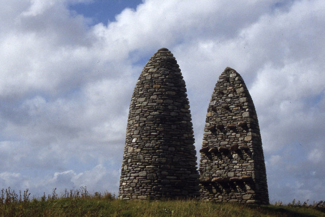
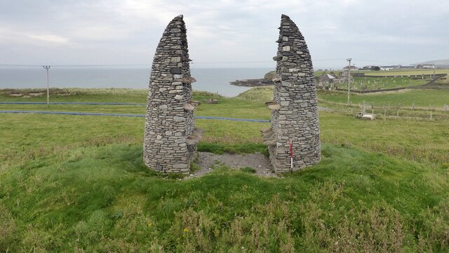
The cairn at Aignish [NB4832] commemorates and symbolises the confrontation between the Aignish Raiders and the military on 9 January 1888. The raiders, men and women of Point, were driven beyond endurance by destitution and oppression. Instead of helping, the authorities used the military to try to repel the raiders. The raiders failed to hold the farm and 13 were sentenced to prison, but the episode brought their plight to a wider audience, but it was not until 1905 that the farm was divided into crofts.
At Bailailean [NB2619] the three entrances to the cairn represent the three communities that took part in the Pairc Deer Raid - Pairc, North Lochs and Kinloch. On 22 November 1887 several hundred crofters from the Pairc townships protested at their treatment by their landlords - many townships in the area had been cleared to give more access to land for deer hunting. A large number of deer were killed and a police and marines were sent to quell what was thought to be a full scale rebellion, and the Riot Act was read by the Sheriff at Ruadh Chleit [NB2908]. Six land raiders were arrested, but acquitted at the High Court in Edinburgh in January 1888.
The three monuments were designed by Will McLean in 1994-6 and built by local stonemason Jim Crawford.
Two interesting accounts of the land struggle generally, not just on Lewis and Harris, are ‘Mightier than a Lord’ by Iain Fraser Grigor [1979], Acair Limited, ISBN 0 86152 030 0, and ‘Go Listen to the Crofters’ by A.D. Cameron [1986], Acair Limited, ISBN 0 86152 063 7, although neither specifically cover the events marked by the cairns, which were a little later.
Neil MacGregor [ex-Director of the British Museum] covered the Raiders in his Radio 4 series [episode 5] <span class="nowrap"><a title="https://www.bbc.co.uk/programmes/m0015474," rel="nofollow ugc noopener" href="https://www.bbc.co.uk/programmes/m0015474,">Link</a><img style="margin-left:2px;" alt="External link" title="External link - shift click to open in new window" src="https://s1.geograph.org.uk/img/external.png" width="10" height="10"/></span> broadcast on 11 March 2022, when he visited Lews Castle Museum in Stornoway Museum nan Eilean (Stornoway) <span class="nowrap"><a title="https://www.cne-siar.gov.uk/leisure-sport-and-culture/museum-nan-eilean/museum-nan-eilean-stornoway/" rel="nofollow ugc noopener" href="https://www.cne-siar.gov.uk/leisure-sport-and-culture/museum-nan-eilean/museum-nan-eilean-stornoway/">Link</a><img style="margin-left:2px;" alt="External link" title="External link - shift click to open in new window" src="https://s1.geograph.org.uk/img/external.png" width="10" height="10"/></span>. A modern extension, opened in 2017, contains a feature on the Raiders memorial, but as yet [March 2022] we have no Geograph coverage.](https://s2.geograph.org.uk/geophotos/07/52/59/7525962_4144bc01.jpg)


Aignish is located at Grid Ref: NB4832 (Lat: 58.209244, Lng: -6.2796279)
Unitary Authority: Na h-Eileanan an Iar
Police Authority: Highlands and Islands
Also known as: Aiginis
What 3 Words
///liver.detail.commander. Near Stornoway, Na h-Eileanan Siar
Nearby Locations
Related Wikis

Aignish
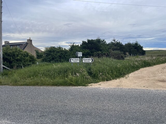
Aignish (Scottish Gaelic: Aiginis) is located northwest of Knock and east of Stornoway on the east coast of the Isle of Lewis, in the Outer Hebrides, Scotland...

Knock, Isle of Lewis
Knock, from the Gaelic, An Cnoc (a small hill), is a village in Point peninsula on the Isle of Lewis in the Outer Hebrides of Scotland. Point (an Rubha...

Branahuie
Branahuie (Scottish Gaelic: Bràigh na h-Aoidhe) is a village on the Isle of Lewis in the Outer Hebrides, Scotland. Branahuie is within the parish of Stornoway...
Melbost
Melbost (Scottish Gaelic: Mealabost) is a traditionally Gaelic-speaking village in Point on the east coast of the Isle of Lewis, in Scotland's north-west...
Nearby Amenities
Located within 500m of 58.209244,-6.2796279Have you been to Aignish?
Leave your review of Aignish below (or comments, questions and feedback).