Bedminster Down
Settlement in Somerset
England
Bedminster Down

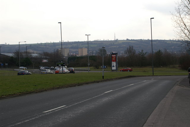
Bedminster Down is a small village situated in the county of Somerset, England. It is located approximately 5 miles south of the city of Bristol and is part of the civil parish of Bedminster. The village is well-known for its picturesque countryside and close proximity to the Mendip Hills, providing residents and visitors with ample opportunities for outdoor activities.
Bedminster Down is primarily a residential area, with a mix of housing types including detached houses, semi-detached houses, and bungalows. The village offers a peaceful and quiet environment, making it an attractive place for families and individuals seeking a suburban lifestyle.
The village has a range of amenities to cater to the needs of its residents, including several local shops, a post office, and a community center. There are also a number of schools in the area, making it an ideal place for families with young children.
Transportation in Bedminster Down is convenient, with regular bus services connecting the village to Bristol and other nearby towns. The nearby A38 road provides easy access to the city center and other major routes, making commuting hassle-free.
Overall, Bedminster Down offers a charming and tranquil setting, surrounded by beautiful countryside and benefiting from its close proximity to Bristol. With its range of amenities and convenient transport links, it is a desirable place to live for those seeking a peaceful suburban lifestyle.
If you have any feedback on the listing, please let us know in the comments section below.
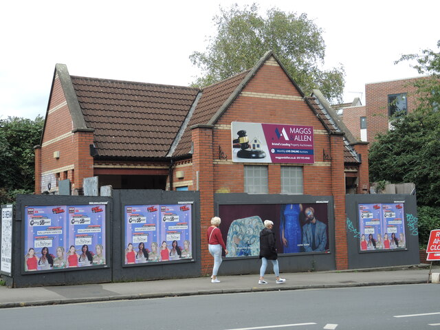
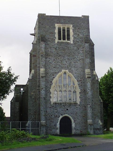
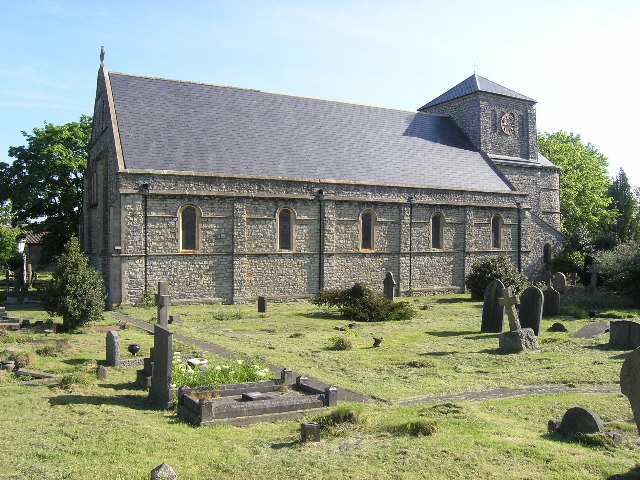
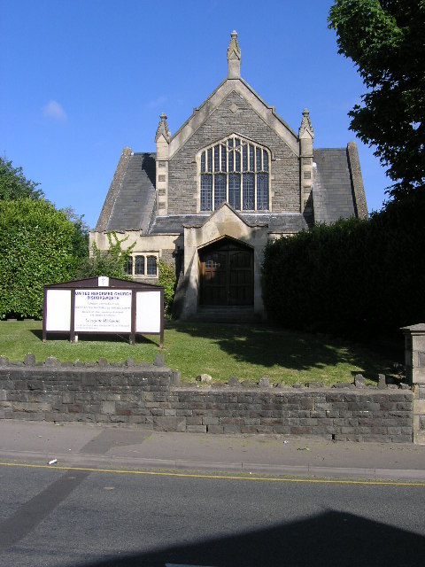
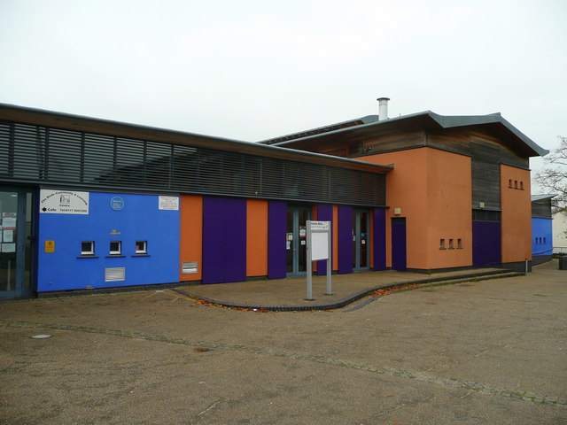
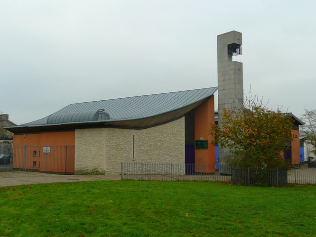
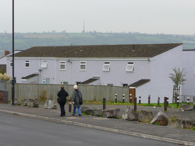
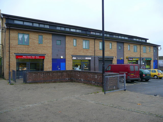
Bedminster Down Images
Images are sourced within 2km of 51.42575/-2.6140703 or Grid Reference ST5769. Thanks to Geograph Open Source API. All images are credited.


Bedminster Down is located at Grid Ref: ST5769 (Lat: 51.42575, Lng: -2.6140703)
Unitary Authority: Bristol
Police Authority: Avon and Somerset
What 3 Words
///insist.lines.league. Near Bishopsworth, Bristol
Nearby Locations
Related Wikis

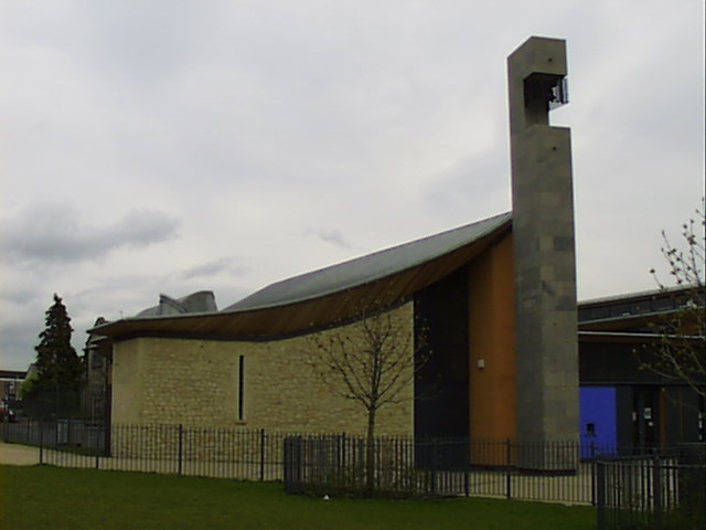
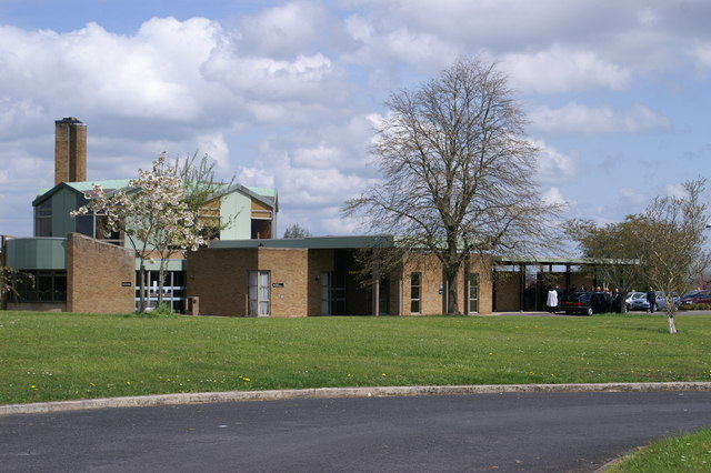
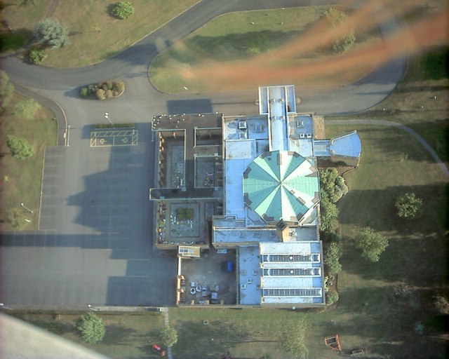
Bedminster Down School
Bedminster Down School is a mixed gender secondary school with academy status, located in the Bishopsworth area of Bristol, England. == History == The...
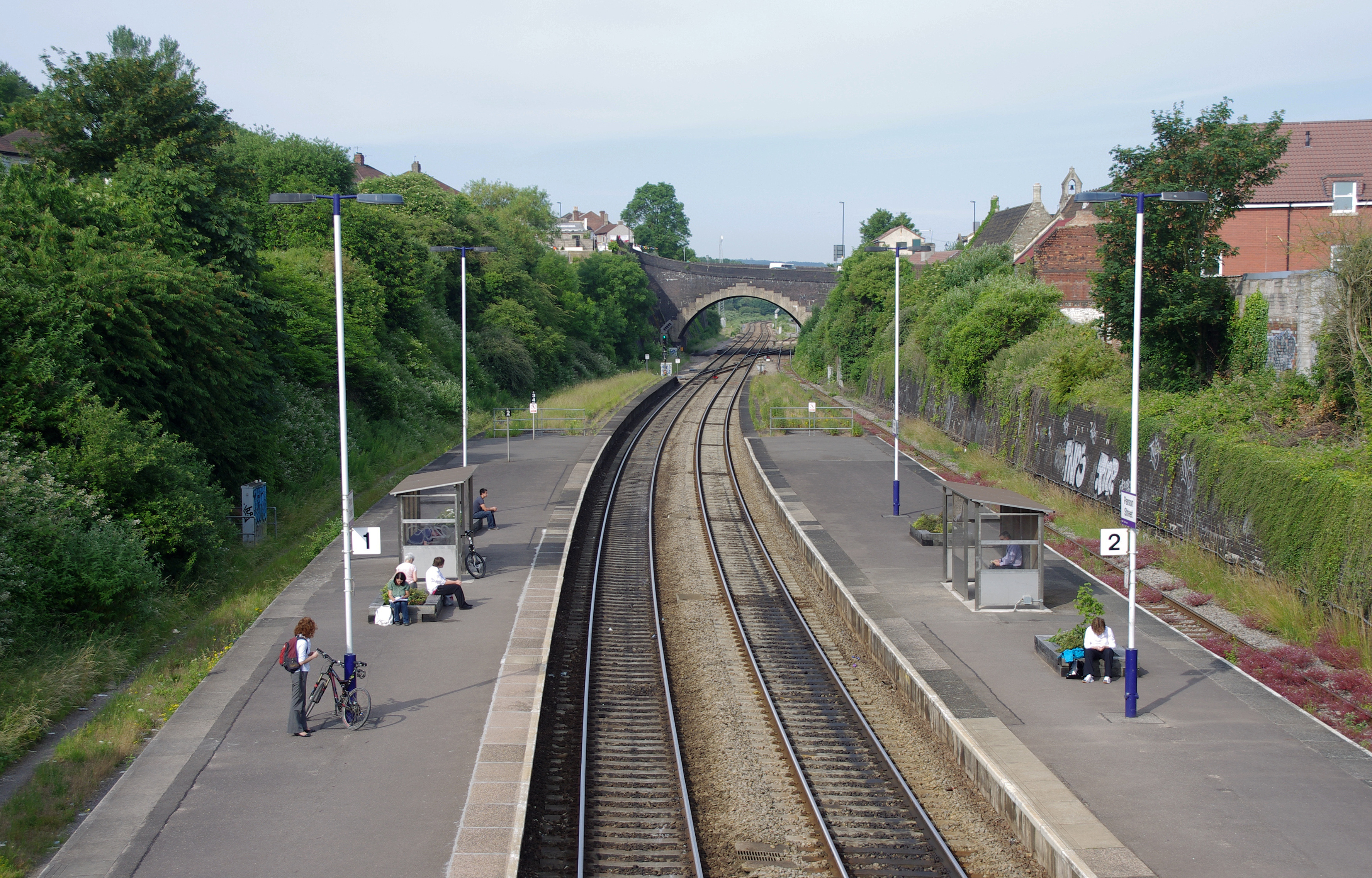
Parson Street railway station
Parson Street railway station serves the western end of Bedminster in Bristol, England. It also serves other surrounding suburbs including Bishopsworth...

Ashton Vale
Ashton Vale is a suburb located in the Bedminster ward of Bristol, United Kingdom.It Is located in the very south-western edge of the city. Ashton Vale...
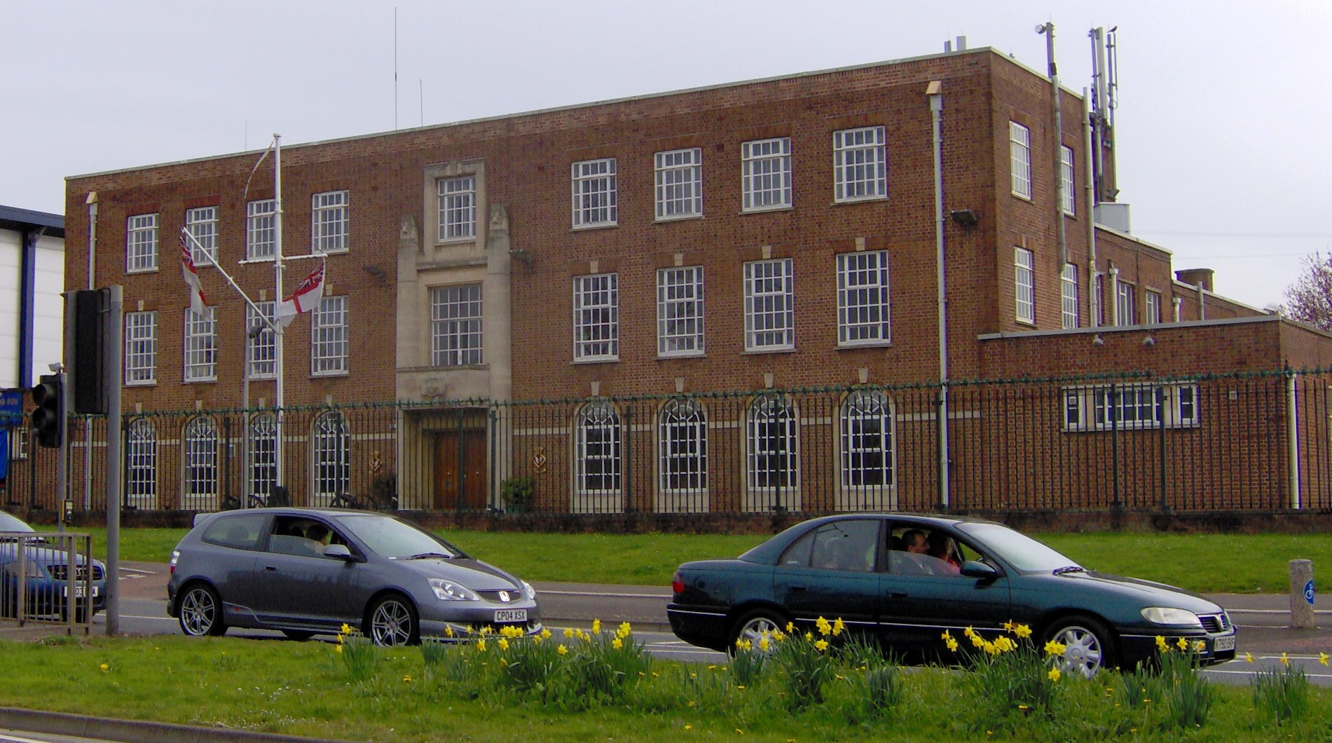
HMS Flying Fox (shore establishment)
HMS Flying Fox is a Royal Naval Reserve unit located in Bristol, England. Training over 100 reservists on Thursday evenings in Bristol, Flying Fox serves...

Campus Pool
Campus Pool is a skatepark and former swimming pool in Bishopsworth, Bristol, UK. == History == The former Bishopsworth Swimming Pool closed in 2012, following...

St Peter's Church, Bishopsworth
St Peter's (grid reference ST570686) is a Neo Norman style church in Bishopsworth, Bristol, England. == History == The first church in Bishopsworth was...

Bishopsworth
Bishopsworth is the name of both a council ward of the city of Bristol in the United Kingdom, and a suburb of the city which lies within that ward. Bishopsworth...
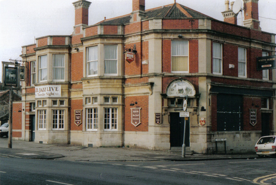
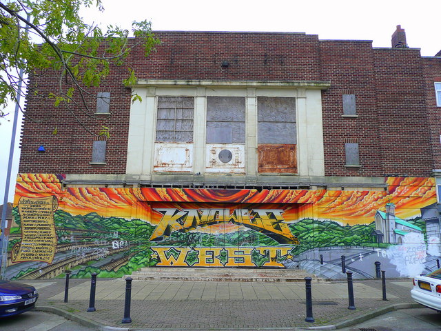
The Chessels
The Chessels is an area of Bedminster, Bristol that runs from the midsection of Luckwell Rd to the former White Horse pub on West Street. Chessel Street...
Nearby Amenities
Located within 500m of 51.42575,-2.6140703Have you been to Bedminster Down?
Leave your review of Bedminster Down below (or comments, questions and feedback).