Black Rock
Island in Aberdeenshire
Scotland
Black Rock

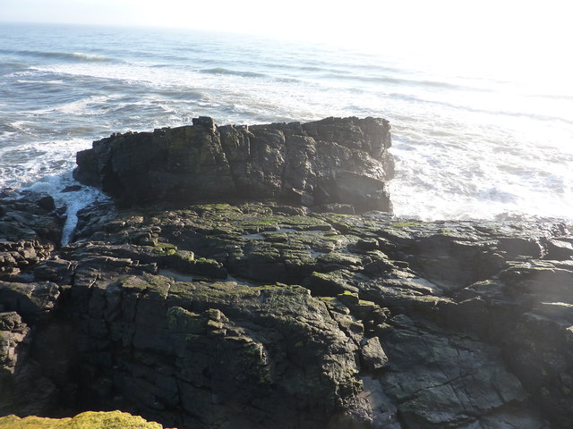
Black Rock is a small island located off the coast of Aberdeenshire, Scotland. Situated in the North Sea, it is approximately 400 meters in length and 100 meters wide. The island is known for its distinctive black rock formations, which give it its name.
Black Rock is uninhabited and is primarily composed of rugged cliffs and rocky terrain. The island is home to a variety of seabirds, including guillemots, puffins, and fulmars, making it a popular spot for birdwatching enthusiasts. Additionally, seals can often be spotted basking on the surrounding rocks.
Access to Black Rock is limited and dependent on tidal conditions, as the island is only accessible during low tide. This adds to the island's sense of remoteness and tranquility. Visitors to Black Rock can explore the rocky shores, take in the breathtaking views of the North Sea, and enjoy the peacefulness of the island.
The Black Rock lighthouse, constructed in 1901, is another notable feature of the island. This historic beacon is situated on the highest point of the island and serves as an important navigational aid for ships passing through the area.
Overall, Black Rock offers a unique and captivating experience for nature lovers and those seeking a serene escape. Its striking black rock formations, diverse wildlife, and isolated location make it a hidden gem along the Aberdeenshire coastline.
If you have any feedback on the listing, please let us know in the comments section below.
Black Rock Images
Images are sourced within 2km of 57.346584/-1.9331057 or Grid Reference NK0428. Thanks to Geograph Open Source API. All images are credited.


Black Rock is located at Grid Ref: NK0428 (Lat: 57.346584, Lng: -1.9331057)
Unitary Authority: Aberdeenshire
Police Authority: North East
What 3 Words
///thud.threading.cashew. Near Newburgh, Aberdeenshire
Nearby Locations
Related Wikis

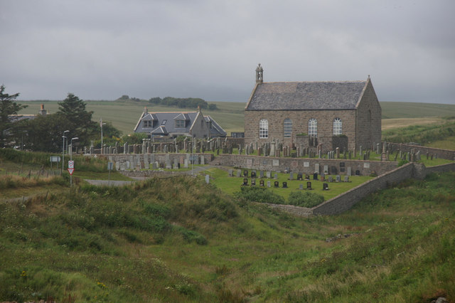
Collieston
Collieston is a small former fishing village on the North Sea coast in Aberdeenshire, Scotland. The village lies just north of the Sands of Forvie Special...

Ythan Estuary
The Ythan Estuary (Scottish Gaelic: Inbhir Eithein) is the tidal component of the Ythan River, emptying into the North Sea 19 kilometres (12 mi) north...

Cotehill Loch
Cotehill Loch is a freshwater loch located in Scotland in the Aberdeenshire area, approximately one mile (1.5 km) northwest of the coastal town of Collieston...

Old Slains Castle
Slains Castle (otherwise known as Old Slains Castle) is a ruined castle near Collieston in Aberdeenshire, Scotland. It is not to be confused with New Slains...
Nearby Amenities
Located within 500m of 57.346584,-1.9331057Have you been to Black Rock?
Leave your review of Black Rock below (or comments, questions and feedback).