Coble Boards

Island in Kincardineshire

Scotland

Coble Boards

Portlethen from the A90
Portlethen from the A90 Credit: Mike Pennington

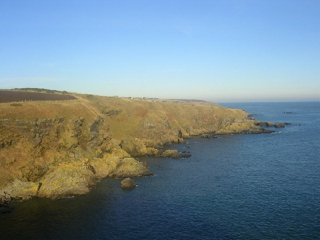
Coble Boards is a small island located off the coast of Kincardineshire, Scotland. Situated in the North Sea, it is part of a group of islands known as the Coble Islands. With a land area of approximately 0.1 square kilometers, Coble Boards is known for its rugged coastline, stunning natural beauty, and rich wildlife.

The island gets its name from the traditional fishing boats, known as cobles, that were commonly used in this area in the past. The presence of these boats is a testament to the island's historical importance as a fishing community. Today, however, Coble Boards is primarily uninhabited, offering a peaceful and serene escape for nature enthusiasts and those seeking tranquility.

The island boasts a diverse range of flora and fauna, making it an ideal spot for birdwatching and wildlife observation. Visitors can expect to see various seabirds, including puffins, gannets, and guillemots, along with seals and dolphins that frequent the surrounding waters.

Access to Coble Boards is limited, as there are no regular ferry services to the island. However, it is possible to arrange private boat trips or kayak excursions from nearby coastal towns, such as Stonehaven or Gourdon.

Coble Boards offers a unique opportunity to experience the untamed beauty of Scotland's coastal landscape. Its untouched nature and abundant wildlife make it a haven for nature lovers and photographers alike. Whether exploring its rugged shores or simply basking in the tranquility of the island, visitors to Coble Boards are sure to be captivated by its natural allure.

If you have any feedback on the listing, please let us know in the comments section below.
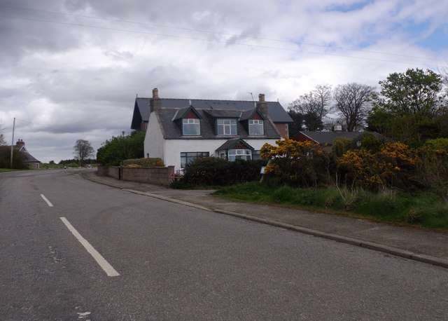
Coble Boards Images

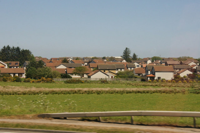
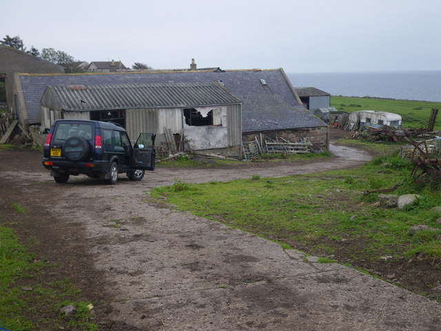
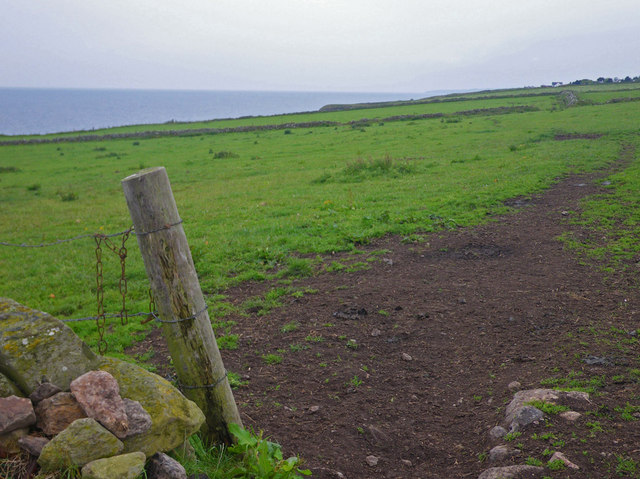
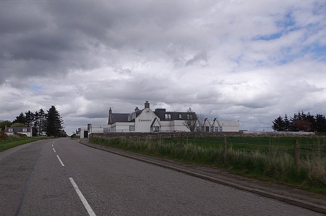
Images are sourced within 2km of 57.039148/-2.1287107 or Grid Reference NO9294. Thanks to Geograph Open Source API. All images are credited.

Portlethen from the A90
House and fields north of Newtonhill
Quiet, but wide residential street Photographer is standing near the street edge
Quiet, but wide residential street
Photographer is standing near the street edge
Looking towards Cammachmore Bay Photographer is standing at the verge of the minor paved road.
Looking towards Cammachmore Bay
Photographer is standing at the verge of the minor paved road.
Coastal scene at England farm A wisp of the North Sea is visible at image upper right. This locale is only accessible on an unpaved farm road; hence the 4x4 vehicle is desirable.
Coastal scene at England farm
A wisp of the North Sea is visible at image upper right. This locale is only accessible on an unpaved farm road; hence the 4x4 vehicle is desirable.
Coastal view towards Downies Access to this point only via unpaved farm track.
Coastal view towards Downies
Access to this point only via unpaved farm track.
Cammies Inn, Cammachmore Near Newtonhill, on the former main road from Stonehaven to Aberdeen (now bypassed by A90 dual carriageway).
Cammies Inn, Cammachmore
Near Newtonhill, on the former main road from Stonehaven to Aberdeen (now bypassed by A90 dual carriageway).
Bend in road, Cammachmore village
Road into Cammachmore, near Newtonhill
Junction at Cammachmore, near Portleithen
Fishermoss primary school, Portlethen School roll 302 (2016).
Fishermoss primary school, Portlethen
School roll 302 (2016).
Site of Newtonhill Station The station closed in 1956 although there is some talk of reopening it as Newtonhill has transformed from a fishing village to a commuter settlement.  Compare the photo from 2009 <a title="https://www.geograph.org.uk/photo/1454732" href="https://www.geograph.org.uk/photo/1454732">Link</a> for changes to track layout and signals.
Site of Newtonhill Station
The station closed in 1956 although there is some talk of reopening it as Newtonhill has transformed from a fishing village to a commuter settlement. Compare the photo from 2009 Link for changes to track layout and signals.
High Speed Train The 14:52 from Aberdeen to King's Cross passes the site of Newtonhill station.
High Speed Train
The 14:52 from Aberdeen to King's Cross passes the site of Newtonhill station.
Newtonhill parish church This modest structure dates from 1987.
Newtonhill parish church
This modest structure dates from 1987.
Newtonhill: walking to the harbour The cat was friendly...
Newtonhill: walking to the harbour
The cat was friendly...
Newtonhill Bay
Newtonhill Bay
Walking the coastal path The rugged Cran Hill (elev. 86 m) is in the background: could it be called a tor?
Walking the coastal path
The rugged Cran Hill (elev. 86 m) is in the background: could it be called a tor?
The Newton Arms, Newtonhill
Show me another place!

Coble Boards is located at Grid Ref: NO9294 (Lat: 57.039148, Lng: -2.1287107)

Unitary Authority: Aberdeenshire

Police Authority: North East

What 3 Words

///reflector.testers.celebrate. Near Newtonhill, Aberdeenshire

Related Wikis

Downies

Downies is a cliff-top village in Aberdeenshire, Scotland situated on Cammachmore Bay. Historically Downies was a fishing village, until much of the local...

Cammachmore Bay

Cammachmore Bay is an embayment of the North Sea between Stonehaven and Aberdeen in Aberdeenshire, Scotland. The fishing village of Downies is situated...

Burn of Elsick

The Burn of Elsick is a coastal stream in Aberdeenshire, Scotland that discharges to the North Sea. This watercourse drains primarily agricultural lands...

Newtonhill railway station

Newtonhill railway station served the town of Newtonhill in Aberdeenshire, Scotland, United Kingdom from its opening in 1851 to its closure in 1956. Newtonhill...

Nearby Amenities

Located within 500m of 57.039148,-2.1287107
Source: PGS
Lat/Long: 57.0401544/-2.1282363
Source: PGS
Lat/Long: 57.0405797/-2.1272176
Source: PGS
Lat/Long: 57.0408537/-2.1276741
Source: PGS
Lat/Long: 57.041215/-2.12774
Source: PGS
Lat/Long: 57.0411715/-2.1271527
Source: PGS
Lat/Long: 57.041456/-2.12562
Source: PGS
Lat/Long: 57.0420018/-2.1255326
Source: PGS
Lat/Long: 57.0420103/-2.1246201
Source: PGS
Lat/Long: 57.042889/-2.124449
Source: PGS
Lat/Long: 57.035881/-2.13397
Source: PGS
Lat/Long: 57.036139/-2.134198
Source: PGS
Lat/Long: 57.0362741/-2.1314233
Source: PGS
Lat/Long: 57.036373/-2.131141
Source: PGS
Lat/Long: 57.036885/-2.131129
Source: PGS
Lat/Long: 57.0376678/-2.1316271
Source: PGS
Lat/Long: 57.0387261/-2.1316706
Source: PGS
Lat/Long: 57.0388221/-2.1310757
Source: PGS
Lat/Long: 57.0388577/-2.1304148
Source: PGS
Lat/Long: 57.0389645/-2.1300924
Source: PGS
Lat/Long: 57.0392453/-2.1300285
Source: PGS
Lat/Long: 57.0388883/-2.129513
Source: PGS
Lat/Long: 57.0390019/-2.129277
Source: PGS
Lat/Long: 57.0393317/-2.1288591
Power: pole
Lat/Long: 57.04127/-2.1356613
Power: pole
Lat/Long: 57.041772/-2.134919
Power: pole
Lat/Long: 57.0423108/-2.1340918
Power: pole
Lat/Long: 57.0421943/-2.133498
Power: pole
Lat/Long: 57.041952/-2.1322996
Power: pole
Lat/Long: 57.0421954/-2.1313643
Power: pole
Lat/Long: 57.0428658/-2.1309825
The data included in this document is from www.openstreetmap.org. The data is made available under ODbL.

Have you been to Coble Boards?

Leave your review of Coble Boards below (or comments, questions and feedback).