Couts
Island in Kincardineshire
Scotland
Couts
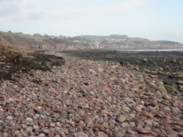
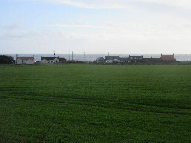
Couts is a small island located off the coast of Kincardineshire in Scotland. It is situated in the North Sea, approximately 2.5 kilometers southeast of the town of Stonehaven. The island spans an area of around 7 hectares and is predominantly composed of rocky terrain with a few patches of grassland.
Couts has a rich history, dating back to the medieval times when it was inhabited by a small community of fishermen and farmers. The island was strategically important due to its close proximity to the mainland and its vantage point overlooking the North Sea.
Today, Couts remains uninhabited and is primarily used for recreational purposes. It is a popular spot for birdwatching enthusiasts, as the island serves as a nesting site for various seabird species, including puffins, guillemots, and razorbills. The surrounding waters are also teeming with marine life, making it a haven for fishing and diving activities.
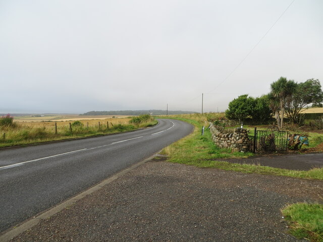
Access to Couts is limited, as there are no regular ferry services to the island. However, during low tide, it is possible to reach the island by foot via a causeway that connects it to the mainland. Visitors are advised to check the tidal times to plan their visit accordingly.
Couts offers a tranquil and picturesque setting, with stunning views of the rugged coastline and the North Sea. It is a haven for nature lovers and those seeking a peaceful escape from the hustle and bustle of everyday life.
If you have any feedback on the listing, please let us know in the comments section below.
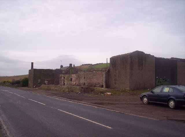
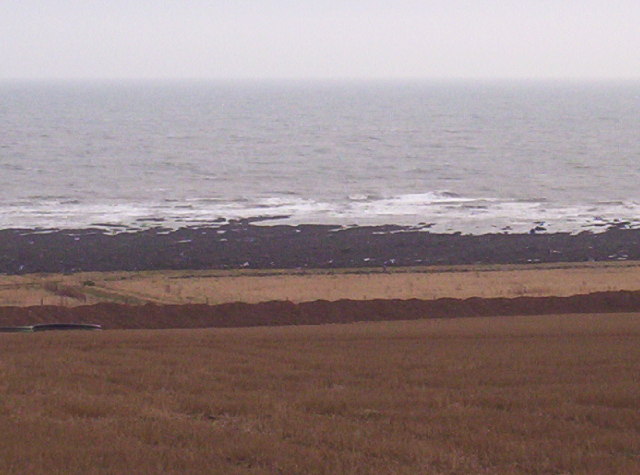
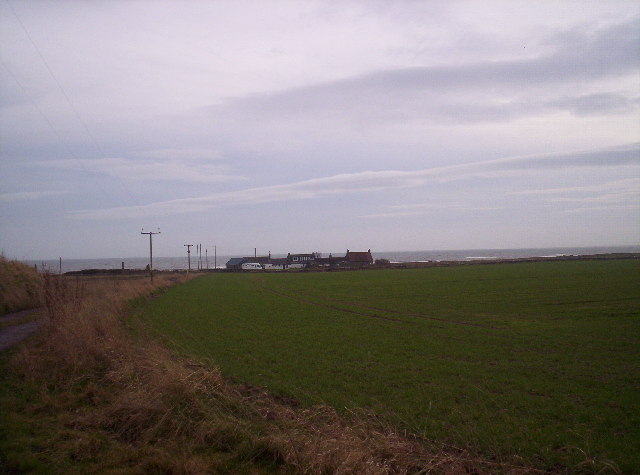
Couts Images
Images are sourced within 2km of 56.820869/-2.2864432 or Grid Reference NO8269. Thanks to Geograph Open Source API. All images are credited.


Couts is located at Grid Ref: NO8269 (Lat: 56.820869, Lng: -2.2864432)
Unitary Authority: Aberdeenshire
Police Authority: North East
What 3 Words
///plea.bullion.bathtubs. Near Inverbervie, Aberdeenshire
Nearby Locations
Related Wikis
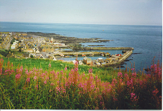
Gourdon, Aberdeenshire
Gourdon () nicknamed Gurdin by the population, is a coastal fishing village in Aberdeenshire, Scotland, south of Inverbervie and north of Johnshaven, with...

Gourdon railway station (NBR)
Gourdon railway station served the village of Gourdon, Aberdeenshire, Scotland from 1865 to 1951 on the Montrose and Bervie Railway. == History == The...

Benholm Mill
Benholm Mill in Kincardineshire, Scotland, is a restored and fully working water-powered meal mill. It is sited in ancient woodland near Johnshaven (13...

Birnie Road Halt railway station
Birnie Road Halt railway station served the settlement of Benholm, Aberdeenshire, Scotland from 1865 to 1966 on the Montrose and Bervie Railway. ��2�...

Benholm
Benholm is a small settlement in Aberdeenshire, Scotland, UK. It is now a conservation area and is home to Benholm Mill.The A92 passes the eastern edge...

Inverbervie railway station
Bervie railway station served the town of Inverbervie, Aberdeenshire, Scotland from 1865 to 1966 on the Montrose and Bervie Railway. == History == The...

Inverbervie
Inverbervie (from Scottish Gaelic: Inbhir Biorbhaidh or Biorbhaigh, "mouth of the River Bervie") is a small town on the north-east coast of Scotland, south...

Inverbervie Town House
Inverbervie Town House is a municipal structure in Church Street in Inverbervie, Aberdeenshire, Scotland. The structure, which is primarily used as a public...
Nearby Amenities
Located within 500m of 56.820869,-2.2864432Have you been to Couts?
Leave your review of Couts below (or comments, questions and feedback).