Claverance Rock

Island in Fife

Scotland

Claverance Rock

Crail harbour Looking north east from the corner of West Braes Crescent. The flowers are poppies.
Crail harbour Credit: Richard Dorrell

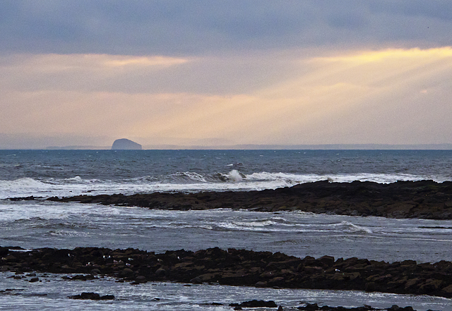
Claverance Rock is a small island located off the coast of Fife, Scotland. Situated in the North Sea, it is known for its rugged beauty and unique geological features. The island is part of the Fife Coastal Path and is a popular destination for hikers, nature enthusiasts, and birdwatchers.

Covering an area of approximately 0.5 hectares, Claverance Rock is uninhabited and largely uninhabitable due to its steep cliffs and lack of vegetation. The island is composed primarily of sandstone, with layers of shale and limestone visible in some areas. These rock formations provide a rich geological history, dating back millions of years.

The island's cliffs, which can reach heights of up to 50 meters, offer breathtaking views of the surrounding waters and coastline. Due to its exposed location, Claverance Rock experiences strong winds and rough seas, making it an ideal habitat for various seabird species. Visitors can often spot nesting colonies of guillemots, razorbills, and kittiwakes clinging to the sheer cliffs.

Access to Claverance Rock is only possible by boat, and caution is advised when approaching due to the treacherous waters and submerged rocks surrounding the island. The lack of amenities and facilities on the island means that visitors must come prepared with water, food, and appropriate clothing for outdoor activities.

Claverance Rock is not only a haven for wildlife but also an important site for geological research and education. Its unique landscape and diverse birdlife make it a must-visit destination for those seeking a glimpse of Scotland's natural beauty.

If you have any feedback on the listing, please let us know in the comments section below.

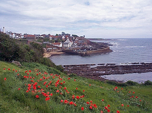
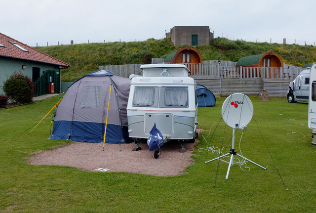
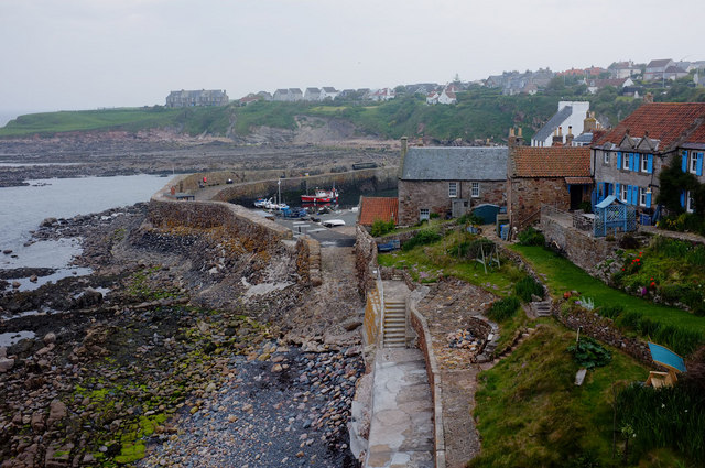
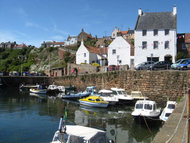
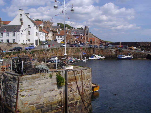
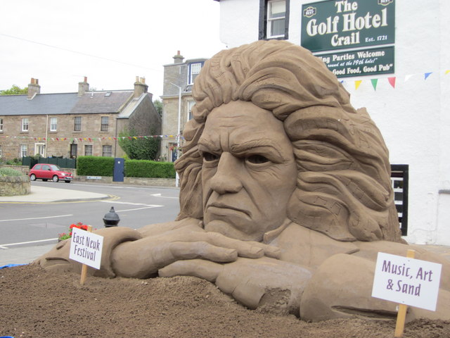
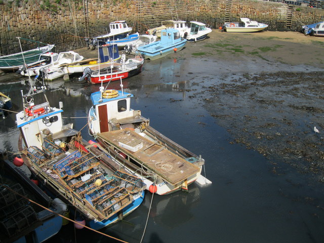
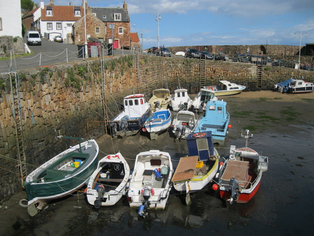
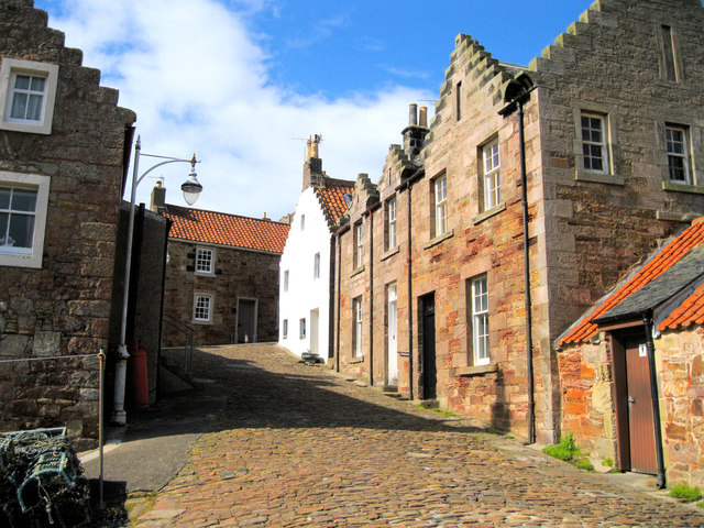
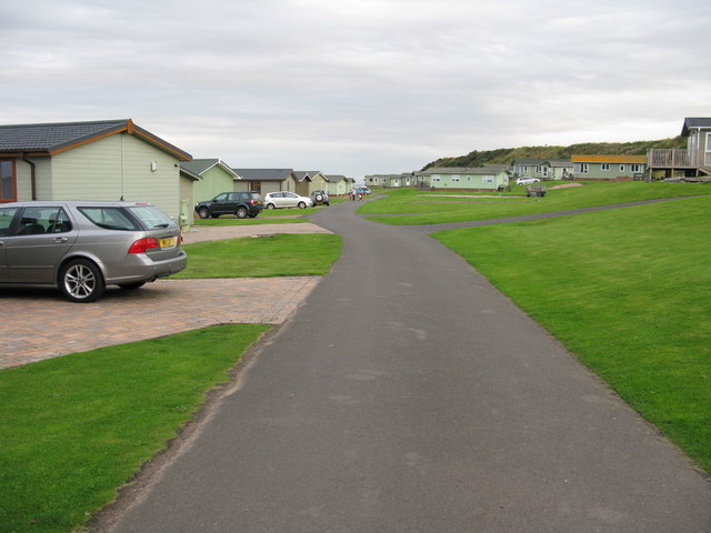
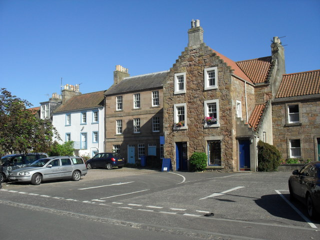
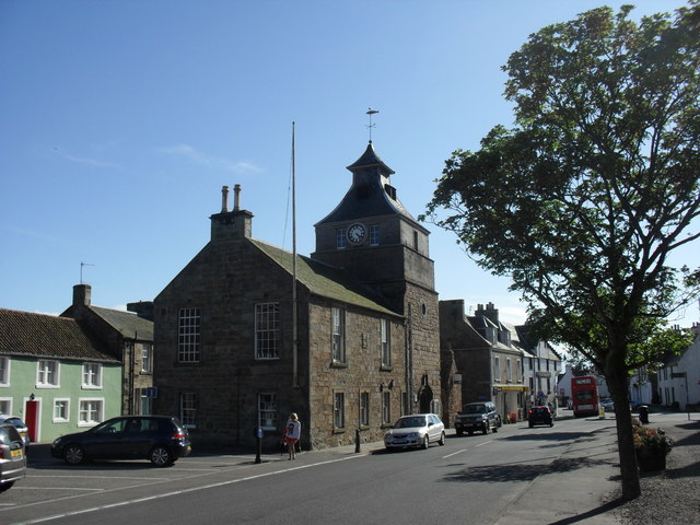
Claverance Rock Images

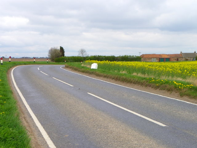
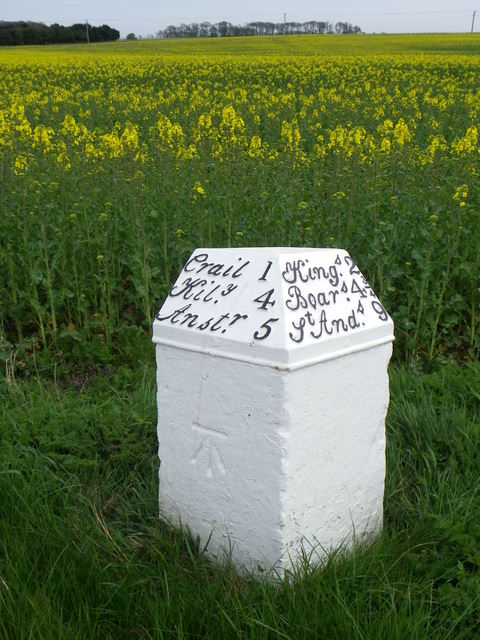
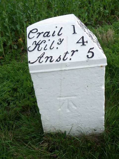
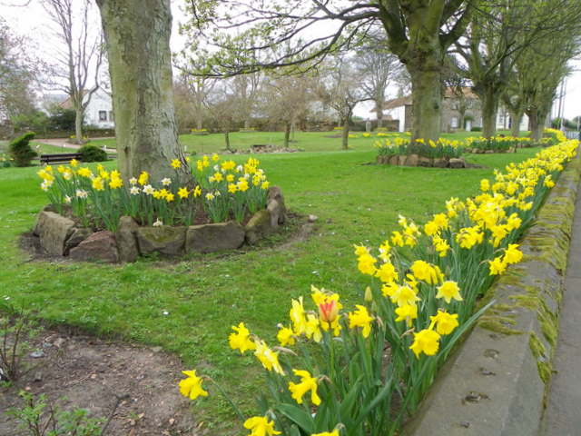
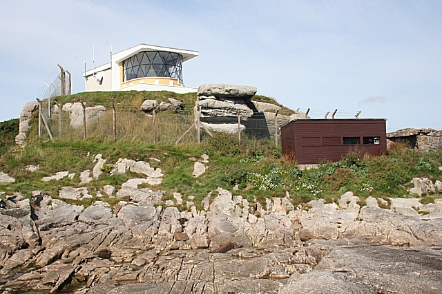
Images are sourced within 2km of 56.256325/-2.6240676 or Grid Reference NO6107. Thanks to Geograph Open Source API. All images are credited.

Crail harbour Looking north east from the corner of West Braes Crescent. The flowers are poppies.
Crail harbour
Looking north east from the corner of West Braes Crescent. The flowers are poppies.
Home from home This small caravan has an extension that doubles its size, and provides satellite TV.
Home from home
This small caravan has an extension that doubles its size, and provides satellite TV.
North-east of Crail Harbour A path along the coast gives a view of the harbour and the headland beyond. From this point the path turns inland.
North-east of Crail Harbour
A path along the coast gives a view of the harbour and the headland beyond. From this point the path turns inland.
The harbour at Crail in Fife
Crail harbour
Crail harbour
Crumbling Composer in Crail This amazing sand sculpture built in the High Street, Crail was beginning to crumble in the heat.
Crumbling Composer in Crail
This amazing sand sculpture built in the High Street, Crail was beginning to crumble in the heat.
Fishing boats in Crail Harbour The harbour dries out at low water and some of these boats are aground.
Fishing boats in Crail Harbour
The harbour dries out at low water and some of these boats are aground.
Crail Harbour Crail is still a working harbour, home to Fife's crab and lobster fleet, and though there are fewer boats than there used to be, visitors can still buy fresh lobster and shellfish from the harbourside.
Crail Harbour
Crail is still a working harbour, home to Fife's crab and lobster fleet, and though there are fewer boats than there used to be, visitors can still buy fresh lobster and shellfish from the harbourside.
Street in Crail This cobbled street leads uphill from the harbour.
Street in Crail
This cobbled street leads uphill from the harbour.
Sauchope Links Caravan Park Looking roughly SSE.
Sauchope Links Caravan Park
Looking roughly SSE.
Shop occupying an ancient building in Crail On Marketgate.
Shop occupying an ancient building in Crail
On Marketgate.
The Tolbooth and clock tower in Crail On Marketgate.
The Tolbooth and clock tower in Crail
On Marketgate.
Milestone, Chance Inn The milestone stands beside the A917.

Milestones are the original roadside heritage features with many dating back hundreds of years and these historic items are under threat from highway developments.
Milestone, Chance Inn
The milestone stands beside the A917. Milestones are the original roadside heritage features with many dating back hundreds of years and these historic items are under threat from highway developments.
Milestone, Chance Inn The milestone stands beside the A917 and in front of a crop of oilseed rape.

Milestones did not come into general use until the Turnpike Act of 1766 made them compulsory on turnpike roads, these roads were built by private enterprise under licence from the Government and maintained by tolls on those who used them.  Before this Act milestones were put up occasionally, often as charitable acts and commemorations.   Many Turnpike Act stones still exist.  They are usually 2-3 ft high, with the initial letter or abbreviation of the nearest market town shown on two faces, and the distance from it. 

Oilseed rape is the third important crop in the UK after wheat and barley. It can be either winter or spring sown. Winter sown oilseed rape is primarily grown for its oil, which is used in cooking and food processing.
Milestone, Chance Inn
The milestone stands beside the A917 and in front of a crop of oilseed rape. Milestones did not come into general use until the Turnpike Act of 1766 made them compulsory on turnpike roads, these roads were built by private enterprise under licence from the Government and maintained by tolls on those who used them. Before this Act milestones were put up occasionally, often as charitable acts and commemorations. Many Turnpike Act stones still exist. They are usually 2-3 ft high, with the initial letter or abbreviation of the nearest market town shown on two faces, and the distance from it. Oilseed rape is the third important crop in the UK after wheat and barley. It can be either winter or spring sown. Winter sown oilseed rape is primarily grown for its oil, which is used in cooking and food processing.
Milestone and bench mark, Chance Inn The Ordnance Survey bench mark clearly shows on the side of the milestone.  For a wider view of the stone <a href="https://www.geograph.org.uk/photo/2776330">NO6008 : Milestone, Chance Inn</a> and for further information on the cut mark and others in the area <span class="nowrap"><a title="http://www.bench-marks.org.uk/bm38081" rel="nofollow ugc noopener" href="http://www.bench-marks.org.uk/bm38081">Link</a><img style="margin-left:2px;" alt="External link" title="External link - shift click to open in new window" src="https://s1.geograph.org.uk/img/external.png" width="10" height="10"/></span>
Milestone and bench mark, Chance Inn
The Ordnance Survey bench mark clearly shows on the side of the milestone. For a wider view of the stone NO6008 : Milestone, Chance Inn and for further information on the cut mark and others in the area LinkExternal link
Kissing gate, Crail The kissing gate allows people entry to the small park beside St Andrews Road.

The kissing gate is a traditional gate hung in a U or V shape that allows one person to pass at a time. In order for one person to pass fully through the gate they have to close it on the next person. Legend has it that at this point, when the two are on either side of the gate, the person in front ‘refuses’ entry to the second person until presented with a kiss.
Kissing gate, Crail
The kissing gate allows people entry to the small park beside St Andrews Road. The kissing gate is a traditional gate hung in a U or V shape that allows one person to pass at a time. In order for one person to pass fully through the gate they have to close it on the next person. Legend has it that at this point, when the two are on either side of the gate, the person in front ‘refuses’ entry to the second person until presented with a kiss.
Daffodils in the park, Crail A fine show of daffodils in a small park beside the A917, St Andrews Road.
Daffodils in the park, Crail
A fine show of daffodils in a small park beside the A917, St Andrews Road.
Westland Skelly Rocks at the Westland Skelly, viewed on a very overcast day, with the Bass Rock visible on the horizon.
Westland Skelly
Rocks at the Westland Skelly, viewed on a very overcast day, with the Bass Rock visible on the horizon.
Show me another place!

Claverance Rock is located at Grid Ref: NO6107 (Lat: 56.256325, Lng: -2.6240676)

Unitary Authority: Fife

Police Authority: Fife

What 3 Words

///gladiator.expand.speak. Near Crail, Fife

Related Wikis

Crail Castle

Crail Castle was a castle that was located in Crail, Fife, Scotland. Crail became a Royal Burgh in the 12th century. The castle was frequented by King...

Golf Hotel

The Golf Hotel is a hotel and restaurant in Crail, Fife, Scotland. It is a Category A listed building dating to the early 18th century, although one source...

Crail

Crail (); Scottish Gaelic: Cathair Aile) is a former royal burgh, parish and community council area (Royal Burgh of Crail and District) in the East Neuk...

Crail Tolbooth and Town Hall

Crail Tolbooth and Town Hall is a municipal structure in Crail, Fife, Scotland. The building, which stands in Marketgate, at its junction with Tolbooth...

Crail Parish Church

Crail Parish Church is an ancient church building in Crail, Fife, Scotland. It is Category A listed, its oldest part dating to the 12th century. The walls...

Crail railway station

Crail railway station served the burgh of Crail, Fife, Scotland from 1883 to 1966 on the Fife Coast Railway. == History == The station opened on 1 September...

RNAS Crail (HMS Jackdaw)

Royal Naval Air Station Crail (RNAS Crail, also known as HMS Jackdaw) is a former Royal Naval Air Station of the Fleet Air Arm located 4.9 miles (7.9 km...

Fife Ness

Fife Ness (Scottish Gaelic: Rubha Fiobha) is a headland forming the most eastern point in Fife, Scotland. Anciently the area was called Muck Ross, which...

Nearby Amenities

Located within 500m of 56.256325,-2.6240676
Barrier: bollard
Bicycle: yes
Foot: yes
Motor Vehicle: no
Lat/Long: 56.2593442/-2.6257402
Man Made: beacon
Seamark Information: Not shown when harbor is closed
Seamark Light Category: lower
Seamark Light Character: F
Seamark Light Colour: red
Seamark Light Height: 24
Seamark Light Range: 6
Seamark Light Reference: A 3100
Seamark Type: light_minor
Source: US NGA Pub. 114. 2011-05-26.
Lat/Long: 56.2574787/-2.6303558
Man Made: beacon
Seamark Light Category: upper
Seamark Light Character: F
Seamark Light Colour: red
Seamark Light Height: 30
Seamark Light Range: 6
Seamark Light Reference: A 3100.1
Seamark Type: light_minor
Source: US NGA Pub. 114. 2011-05-26.
Lat/Long: 56.257574/-2.6307527
Addr Housenumber: 44
Addr Street: Nethergate
Lat/Long: 56.2599002/-2.6242121
Bench
Backrest: yes
Check Date: 2023-04-14
Lat/Long: 56.2589406/-2.6284498
Bench
Backrest: yes
Check Date: 2022-04-25
Lat/Long: 56.2590445/-2.6283201
Post Box
Collection Times: Mo-Fr 16:00; Sa 11:45
Operator: Royal Mail
Operator Wikidata: Q638098
Post Box Design: type_b
Post Box Type: pillar
Ref: KY10 262
Royal Cypher: obscured
Lat/Long: 56.2595141/-2.6278605
Co-op Food
Brand: Co-op Food
Brand Wikidata: Q3277439
Brand Wikipedia: en:Co-op Food
Operator: The Co-operative Group
Operator Wikidata: Q117202
Shop: convenience
Website: https://www.coop.co.uk/store-finder/KY10-3TA/7-high-street
Lat/Long: 56.2604807/-2.6269903
Pub
Golf Hotel
Internet Access: wlan
Lat/Long: 56.2606066/-2.6265438
Crail Pottery
Addr City: Crail
Addr Housenumber: 75
Addr Postcode: KY10 3TX
Addr Street: Nethergate
Craft: pottery
Shop: gift
Website: https://crailpottery.com/
Lat/Long: 56.2579712/-2.6275292
Barrier: bollard
Bollard: fixed
Lat/Long: 56.2589505/-2.6286047
Post Box
Collection Times: Mo-Fr 09:00; Sa 07:00
Operator: Royal Mail
Operator Wikidata: Q638098
Post Box Mounting: wooden_post
Post Box Type: lamp
Ref: KY10 261D
Royal Cypher: scottish_crown
Lat/Long: 56.2578393/-2.6298728
Building: residential
Lat/Long: 56.2590722/-2.6290733
Turning Circle
Lat/Long: 56.2588747/-2.6307163
Bench
Backrest: yes
Check Date: 2022-04-18
Lat/Long: 56.2581649/-2.6258177
Bench
Backrest: yes
Check Date: 2022-04-18
Lat/Long: 56.2583003/-2.6257009
Waste Basket
Lat/Long: 56.2583556/-2.6248729
Bench
Backrest: yes
Check Date: 2022-04-18
Lat/Long: 56.2584021/-2.6255653
Bench
Backrest: yes
Lat/Long: 56.2584461/-2.6250921
Bench
Backrest: yes
Check Date: 2022-05-10
Lat/Long: 56.2585519/-2.625561
Bench
Backrest: yes
Check Date: 2022-04-18
Lat/Long: 56.2586048/-2.6253763
Bench
Backrest: yes
Check Date: 2022-05-10
Lat/Long: 56.2586112/-2.6255538
Board Type: history
Check Date: 2022-04-18
Information: board
Tourism: information
Lat/Long: 56.2586649/-2.6253446
Fulmars
Board Type: wildlife
Information: board
Tourism: information
Lat/Long: 56.258125/-2.6261339
Clock
Check Date: 2022-05-04
Display: sundial
Support: pole
Lat/Long: 56.2581391/-2.6260651
Bench
Backrest: no
Check Date: 2022-04-19
Lat/Long: 56.2581447/-2.6261574
Bench
Backrest: no
Check Date: 2022-04-19
Lat/Long: 56.2581839/-2.6263474
Bench
Backrest: no
Check Date: 2022-05-04
Lat/Long: 56.2581963/-2.6260457
Bench
Backrest: no
Check Date: 2022-04-19
Lat/Long: 56.258216/-2.6264579
Bench
Backrest: no
Check Date: 2022-05-04
Lat/Long: 56.2582581/-2.6259927
Bench
Backrest: no
Check Date: 2022-05-04
Lat/Long: 56.2583245/-2.6259368
Bench
Backrest: no
Check Date: 2022-05-04
Lat/Long: 56.2583584/-2.6259054
Bench
Backrest: no
Check Date: 2022-04-19
Lat/Long: 56.2583984/-2.6258732
Bench
Backrest: no
Check Date: 2022-04-19
Lat/Long: 56.2584342/-2.6258441
Bench
Backrest: no
Check Date: 2022-04-19
Lat/Long: 56.2584714/-2.6258116
Bench
Backrest: no
Check Date: 2022-04-19
Lat/Long: 56.2585995/-2.625701
Fabrik
Addr City: Crail
Addr Housenumber: 11
Addr Postcode: KY10 3TA
Addr Street: High Street North
Fhrs Id: 657684
Opening Hours: Mo-Sa 10:00-17:00
Phone: +44 1333 450233
Shop: gift
Source Addr: FHRS Open Data
Website: https://vanessabullick.co.uk/
Lat/Long: 56.2604129/-2.6270702
Tourism: picnic_site
Lat/Long: 56.2573295/-2.6272635
Tourism: picnic_site
Lat/Long: 56.2576171/-2.627119
Bench
Backrest: yes
Check Date: 2022-09-30
Lat/Long: 56.2604809/-2.6214452
Fast Food
The Lobster Hut
Cuisine: seafood
Lat/Long: 56.2577199/-2.6275252
Marine hotel B&B
Tourism: guest_house
Lat/Long: 56.2595126/-2.6246469
Brodie's Grannie's
Addr City: Crail
Addr Housenumber: 32
Addr Postcode: KY10 3SU
Addr Street: Shoregate
Fhrs Id: 667160
Shop: ice_cream
Lat/Long: 56.2577672/-2.6272237
Pub
The Shoregate
Addr City: Crail
Addr Country: GB
Addr Housenumber: 67
Addr Postcode: KY10 3RA
Addr Street: High Street North
Old Name: The East Neuk Hotel
Lat/Long: 56.2588694/-2.628613
Bench
Backrest: yes
Colour: brown
Material: plastic
Seats: 4
Lat/Long: 56.2586254/-2.625607
Barrier: bollard
Bollard: fixed
Vehicle: no
Lat/Long: 56.2597372/-2.6273042
Drinking Water
Lat/Long: 56.2576452/-2.6282725
Give Way
Direction: backward
Lat/Long: 56.2579815/-2.6298362
Give Way
Direction: backward
Lat/Long: 56.257694/-2.6303753
Defibrillator
Defibrillator Location: On outside wall of public toilets
Emergency: defibrillator
Indoor: no
Opening Hours: 24/7
Lat/Long: 56.2586277/-2.628485
J B Penman
Addr City: Crail
Addr Housenumber: 38
Addr Postcode: KY10 3RB
Addr Street: High Street South
Fhrs Id: 110532
Shop: butcher
Lat/Long: 56.2595495/-2.6274101
Beehive
Opening Hours: Nov-Feb We-Sa 10:00-17:00; Mar-Oct We-Su 10:00-17:00
Shop: gift
Lat/Long: 56.2598184/-2.6273257
G H Barnett Bakers
Addr City: Crail
Addr Housenumber: 24
Addr Postcode: KY10 3TE
Addr Street: High Street South
Fhrs Id: 110529
Opening Hours: Mo-Sa 08:00-14:00
Shop: bakery
Lat/Long: 56.2599689/-2.6271446
Pharmacy
Crail Pharmacy
Addr City: Crail
Addr Postcode: KY10 3TE
Addr Street: High Street South
Fhrs Id: 110528
Healthcare: pharmacy
Opening Hours: Mo-Sa 09:00-01:00, Mo,Tu,Th,Fr 14:00-17:30
Lat/Long: 56.2600587/-2.6270625
Bus Stop
Temple Crescent
Bench: no
Bin: no
Bus: yes
Lit: yes
Public Transport: platform
Shelter: no
Tactile Paving: no
Lat/Long: 56.2571859/-2.6310545
Bus Stop
Bench: yes
Bin: yes
Bus: yes
Public Transport: platform
Shelter: no
Tactile Paving: no
Lat/Long: 56.258884/-2.6284409
Bus Stop
Temple Crescent
Bench: no
Bin: yes
Bus: yes
Lit: no
Public Transport: platform
Shelter: yes
Tactile Paving: yes
Lat/Long: 56.2573647/-2.6309346
Greens
Addr City: Crail
Addr Housenumber: 14
Addr Postcode: KY10 3TD
Addr Street: High Street
Fhrs Id: 110527
Shop: greengrocer
Lat/Long: 56.2602624/-2.6268268
Cafe
Julias eatery art gifts
Addr City: Crail
Addr Housenumber: 36
Addr Postcode: KY10 3RB
Addr Street: High Street South
Fhrs Id: 110531
Source Addr: FHRS Open Data
Lat/Long: 56.2596114/-2.627323
Selcraig Guest House
Addr City: Crail
Addr Housenumber: 47
Addr Postcode: KY10 3TX
Addr Street: Nethergate North
Fhrs Id: 127159
Tourism: guest_house
Website: https://www.selcraighouse.co.uk/
Lat/Long: 56.2599749/-2.6247467
Cafe
Crail Harbour Gallery and Tearoom
Addr City: Crail
Addr Housenumber: 22
Addr Postcode: KY10 3SU
Addr Street: Shoregate
Fhrs Id: 14819
Opening Hours: Mo-Su 10:15-18:00+
Phone: +44 1333 451896
Source Addr: FHRS Open Data
Website: http://www.crailharbourgallery.co.uk
Lat/Long: 56.2579655/-2.627091
British Legion Club
Club: yes
Lat/Long: 56.2596499/-2.6249111
Brenda Spowart Hairdressing
Addr City: Crail
Addr Housenumber: 65
Addr Postcode: KY10 3RA
Addr Street: High Street North
Shop: hairdresser
Lat/Long: 56.2589894/-2.6285817
Isle of Maybe
Addr City: Crail
Addr Housename: Osborne Terrace
Addr Housenumber: 2a
Addr Place: Osborne Terrace
Addr Postcode: KY10 3RR
Entrance: yes
Level: 1
Lat/Long: 56.2550824/-2.631012
Addr City: Crail
Addr Housenumber: 2
Addr Postcode: KY10 3RR
Addr Street: Osborne Terrace
Entrance: yes
Level: 0
Lat/Long: 56.2551393/-2.6307414
Castle Walk Sewage Pumping Station
Description: Sewage pumping station
Man Made: pumping_station
Operator: Scottish Water
Operator Wikidata: Q7438022
Lat/Long: 56.2585681/-2.6251395
West Braes sewage pumping station
Level: -1
Man Made: pumping_station
Operator: Scottish Water
Operator Wikidata: Q7438022
Source: survey
Lat/Long: 56.254278/-2.6299881
Addr City: Crail
Addr Housename: The Old Garage
Addr Postcode: KY10 3UY
Addr Street: Middle Row, West Green
Entrance: yes
Lat/Long: 56.2592969/-2.6284674
Addr City: Crail
Addr Housename: The Hayloft
Addr Postcode: KY10 3RD
Addr Street: Middle Row, West Green
Entrance: yes
Lat/Long: 56.2593346/-2.6285373
Addr City: Crail
Addr Housename: The Howff
Addr Postcode: KY10 3RD
Addr Street: Middle Row, West Green
Entrance: yes
Lat/Long: 56.2593821/-2.6284532
Addr City: Crail
Addr Housename: The Old Bakehouse
Addr Postcode: KY10 3RD
Addr Street: Middle Row, West Green
Entrance: yes
Lat/Long: 56.2594391/-2.6283579
Addr City: Crail
Addr Housename: The Wee Hoose
Addr Postcode: KY10 3UY
Addr Street: Middle Row, West Green
Entrance: yes
Lat/Long: 56.259404/-2.6282844
Addr City: Crail
Addr Housename: Tappit Hoose
Addr Postcode: KY10 3UY
Addr Street: Middle Row, West Green
Entrance: yes
Level: 0
Lat/Long: 56.2593466/-2.6283841
Addr City: Crail
Addr Housename: The Old Granary
Addr Housenumber: 27
Addr Postcode: KY10 3RD
Addr Street: West Green
Entrance: yes
Lat/Long: 56.258755/-2.6290062
Addr City: Crail
Addr Street: May House
Entrance: yes
Lat/Long: 56.2596738/-2.6278234
Addr City: Crail
Addr Housename: Failte
Addr Street: High Street
Entrance: yes
Lat/Long: 56.2596487/-2.627858
Addr City: Crail
Addr Housenumber: 1
Addr Postcode: KY10 3ST
Addr Street: Shoregate
Entrance: yes
Level: 1
Lat/Long: 56.2587085/-2.6283032
Addr City: Crail
Addr Housenumber: 1
Addr Postcode: KY10 3RQ
Addr Street: West Lane
Entrance: yes
Level: 0
Lat/Long: 56.2586664/-2.6283998
Addr City: Crail
Addr Housename: Castlehill
Addr Housenumber: 31
Addr Postcode: KY10 3SH
Addr Street: Castle Street
Entrance: yes
Level: 1
Lat/Long: 56.258955/-2.626585
Addr City: Crail
Addr Housename: The Lobster Pot
Addr Housenumber: 31a
Addr Postcode: KY10 3SH
Addr Street: Castle Street
Entrance: yes
Lat/Long: 56.2589422/-2.6264986
Addr City: Crail
Addr Housename: 4, The Maltings
Addr Postcode: KY10 3RB
Addr Street: High Street
Entrance: yes
Lat/Long: 56.2589928/-2.6277258
Addr City: Crail
Addr Housename: 3, The Maltings
Addr Postcode: KY10 3RB
Addr Street: High Street
Entrance: yes
Level: 0
Lat/Long: 56.2590034/-2.6277143
Addr City: Crail
Addr Housename: The Den, 2 The Maltings
Addr Postcode: KY10 3RB
Addr Street: High Street
Entrance: yes
Level: 1
Lat/Long: 56.2590518/-2.6277878
Addr City: Crail
Addr Housename: 1, The Maltings
Addr Postcode: KY10 3RB
Addr Street: High Street
Entrance: yes
Level: 0
Lat/Long: 56.2590605/-2.6278091
Addr City: Crail
Addr Housename: 6, The Maltings
Addr Postcode: KY10 3RB
Addr Street: High Street
Entrance: yes
Level: 1
Lat/Long: 56.2589967/-2.6279528
Entrance: yes
Lat/Long: 56.2589549/-2.6278428
Addr City: Crail
Addr Housenumber: 11
Addr Postcode: KY10 3TA
Addr Street: High Street
Entrance: yes
Level: 0
Lat/Long: 56.2603989/-2.6270343
Crail Harbour Sewage Pumping Station
Level: -1
Man Made: pumping_station
Operator: Scottish Water
Operator Wikidata: Q7438022
Lat/Long: 56.2576697/-2.6271169
Historic: milestone
Lat/Long: 56.2570753/-2.6312128
Information: guidepost
Operator: Fife Coast and Countryside Trust
Tourism: information
Lat/Long: 56.2588771/-2.6284502
Information: guidepost
Operator: Fife Coast and Countryside Trust
Tourism: information
Lat/Long: 56.2581385/-2.6269601
Information: guidepost
Operator: Fife Coast and Countryside Trust
Tourism: information
Lat/Long: 56.2567021/-2.6317883
Addr City: Crail
Addr Housenumber: 2
Addr Postcode: KY10 3RS
Addr Street: Temple Crescent
Entrance: yes
Lat/Long: 56.2576891/-2.6309333
Addr City: Crail
Addr Housenumber: 2A
Addr Postcode: KY10 3RS
Addr Street: Temple Crescent
Entrance: yes
Lat/Long: 56.2577376/-2.6310077
The data included in this document is from www.openstreetmap.org. The data is made available under ODbL.

Have you been to Claverance Rock?

Leave your review of Claverance Rock below (or comments, questions and feedback).